Pinnacles to Spangler Hills OHV Area

Total Miles5.3
Technical Rating
2Easy
Best TimeSpring, Fall, Winter
Trail TypeFull-Width Road
Accessible By
Open Trail Map

Trail Overview

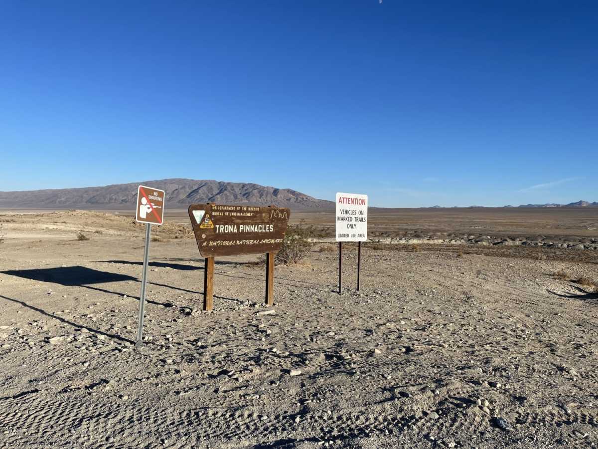
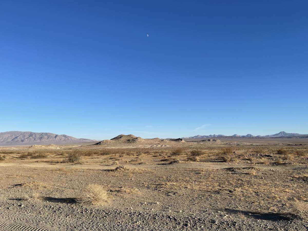
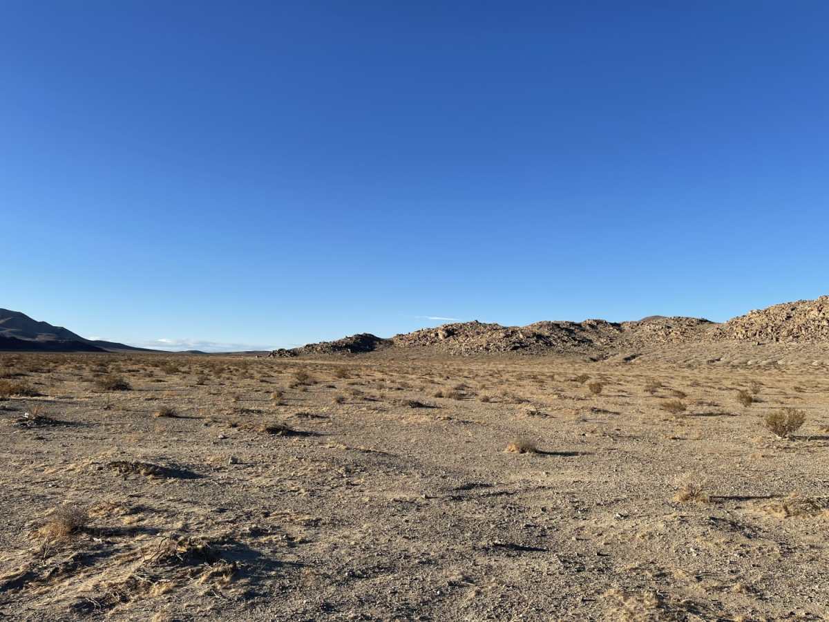
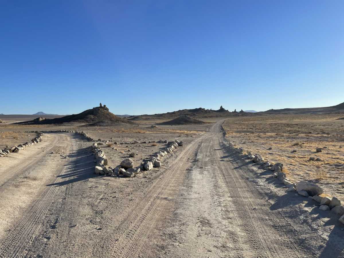
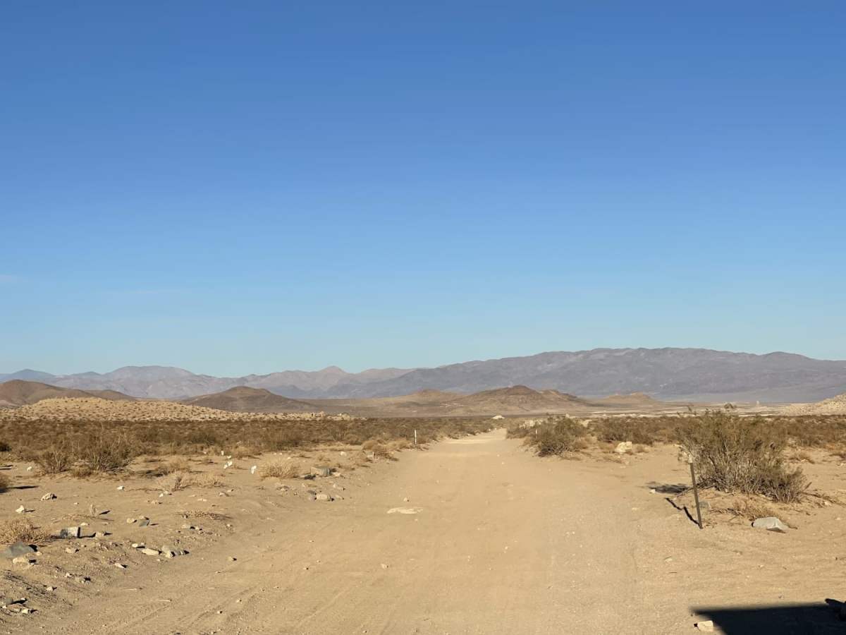
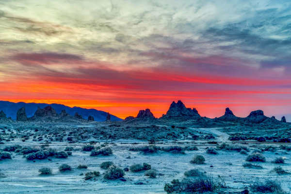
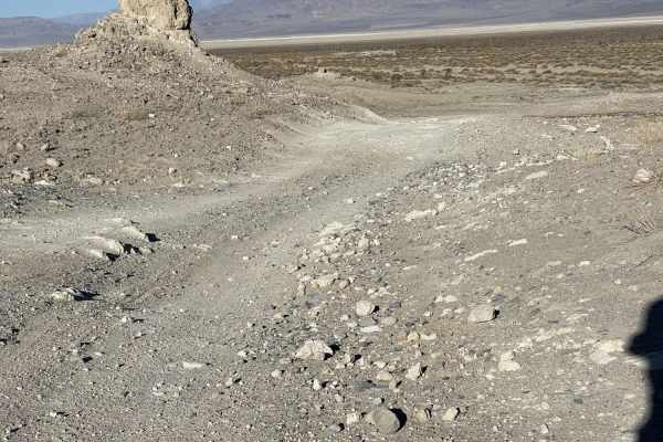
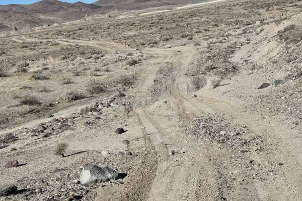
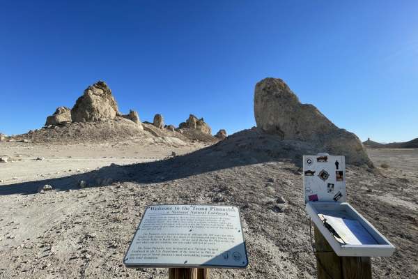
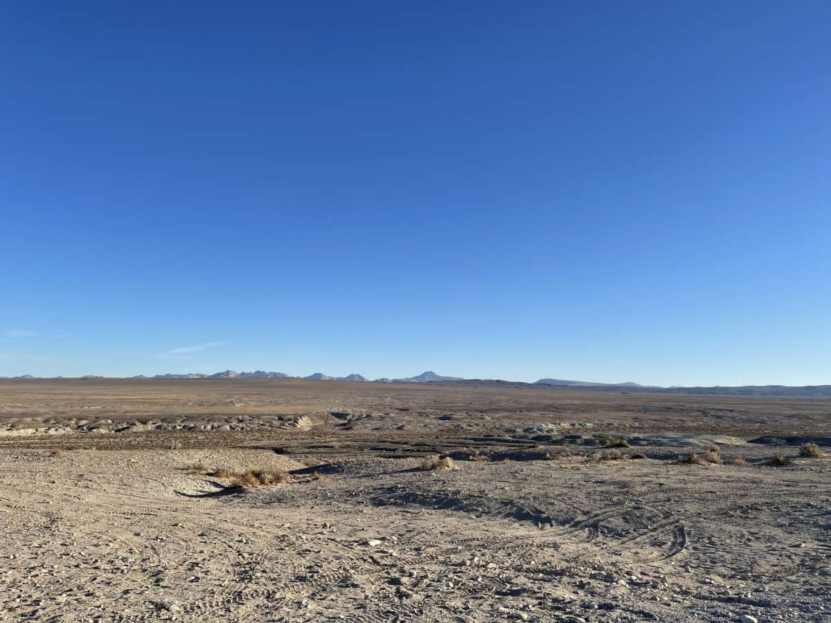
Pinnacles to Spangler Hills OHV Area is a 5.3-mile direct connector route designed for offroaders seeking a straightforward link between the iconic Trona Pinnacles and the Spangler Hills Off-Highway Vehicle Area. This easy-rated trail, carrying a technical rating of 2, is suitable for high-clearance vehicles, four-wheel-drive trucks, SUVs, and SxSs looking to navigate the transition between these two prominent desert recreation hubs. The path consists primarily of a sandy dirt surface marked by frequent washouts, deep whoops, and persistent washboard sections that require a moderate pace to handle the constant bumps. Climbing gradually from an elevation of 1,781 feet to 2,115 feet, the route offers around 365 feet of cumulative elevation gain as it heads northeast, providing expansive views of the surrounding valley and the unique tufa formations of the Pinnacles. Along the route, travelers will find remote dispersed camping spots that make excellent base camps, with select locations offering panoramic vistas over the valley and toward the Pinnacles. This desert environment is critical habitat for the state and federally listed threatened desert tortoise, meaning users must drive only on designated routes, check under parked vehicles before moving, and avoid disturbing any tortoises. Weather in this region is extreme, with summer temperatures regularly ranging from 100 to 120 degrees Fahrenheit, while winter lows can drop below freezing, making spring and fall the optimal seasons for travel. Due to the clay content in some sections, the trail can become slick and impassable when wet, and offroaders should be prepared for limited cellular connectivity, typically finding only one to two bars of LTE service in certain spots.

Photos of Pinnacles to Spangler Hills OHV Area

Difficulty

Mostly easy, lots of whoops and washboard.

History

The Spangler Hills Off-Highway Vehicle Area offers over 57,000 acres of open public land managed by the Bureau of Land Management. This region serves as a crucial habitat for the desert tortoise, a threatened species protected under state and federal law.

Technical Rating

2

Status Reports

Add Status Report
Raul Covarrubias
May 25, 2026
2023 Toyota Tacoma
Open
Doable in 2wd, doable with typical suv clearance
Alec Trueblood
Oct 10, 2025
2006 Toyota Tacoma
Open
NormalWashboard
Sandy trail with rollercoaster bumps, and a rock garden descending to the Pinnacles, at the end. Too hot for us to stop for lunch, even in October. Incredibly remote and no cell. Slim margin for error out here. I would come in the winter. Somewhat easy to get lost as it all looks the same. Pinnacles were outstanding though.
steve b
Mar 25, 2024
Open
Normal
This is a graded dirt road and most vehicles should be fine. Desert blooms have started and desert shrubs are overgrown, but trail is clear. This is a nice shortcut to Trona Pinnacles from Randsburg Wash Rd. which enters from the south.

Pinnacles to Spangler Hills OHV Area Trail can be accessed by the following ride types:

  • Single Track
  • 50 Inch
  • 60 Inch
  • High Clearance
  • Full Width

Access Description

Off-highway vehicles owned by California residents must be registered with the California DMV and display a valid Green Sticker or Red Sticker. Non-residents whose vehicles are not registered in their home state must obtain a California Non-Resident Green Sticker OHV permit. The route traverses critical desert tortoise habitat; vehicles must remain on designated routes, and drivers should check under parked vehicles for tortoises seeking shade.

Pinnacles to Spangler Hills OHV Area Map

The onX Offroad Difference

onX Offroad combines trail photos, descriptions, difficulty ratings, width restrictions, seasonality, and more in a user-friendly interface. Available on all devices, with offline access and full compatibility with CarPlay and Android Auto. Discover what you're missing today!

Open Trail Map