Trail Overview
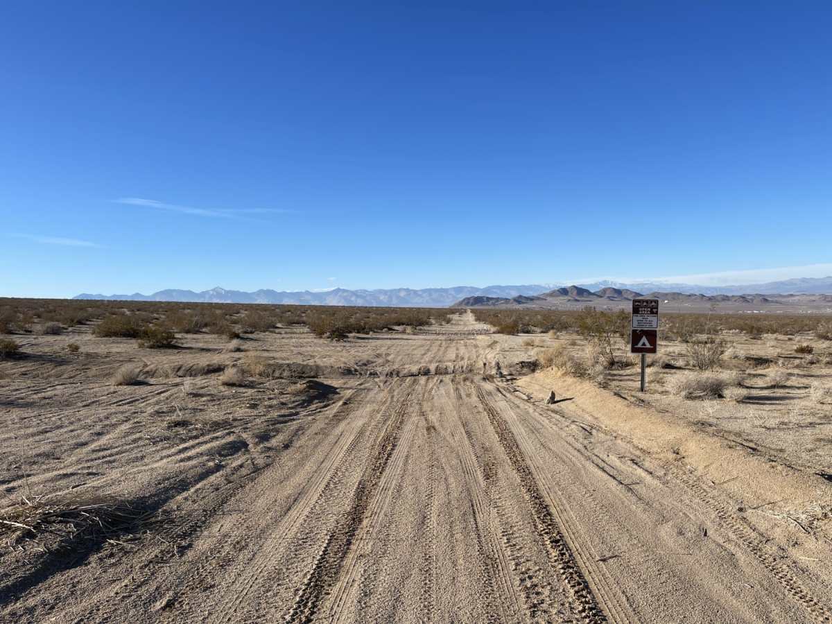
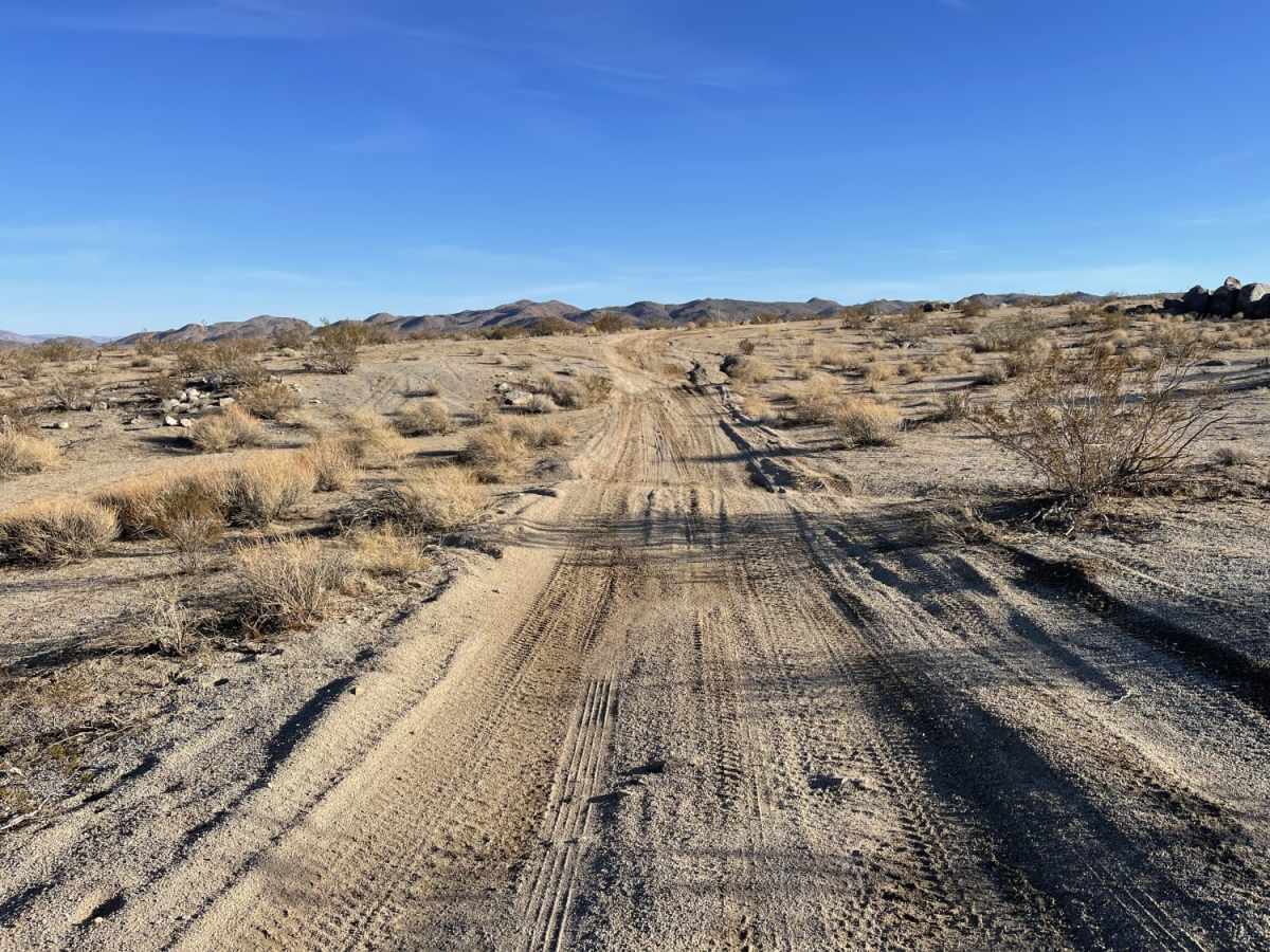
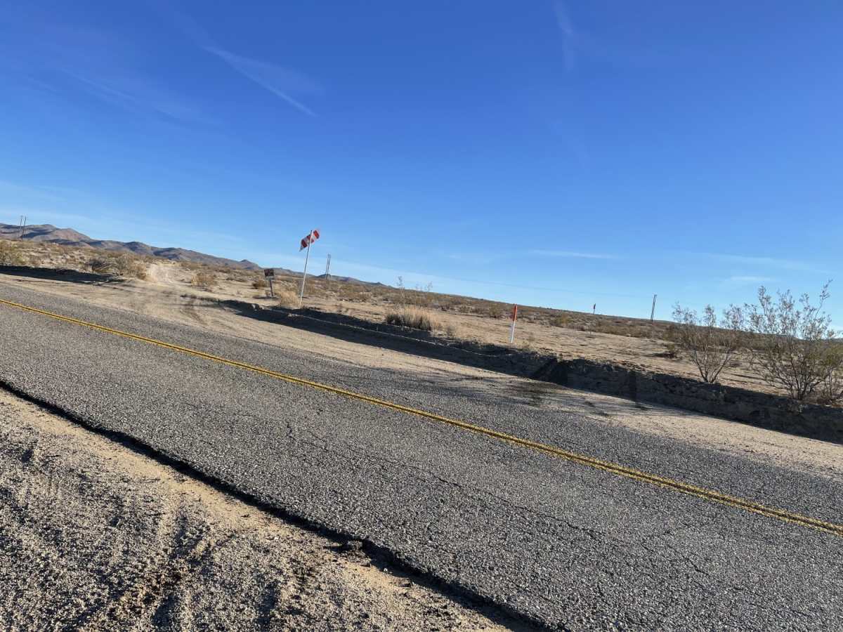
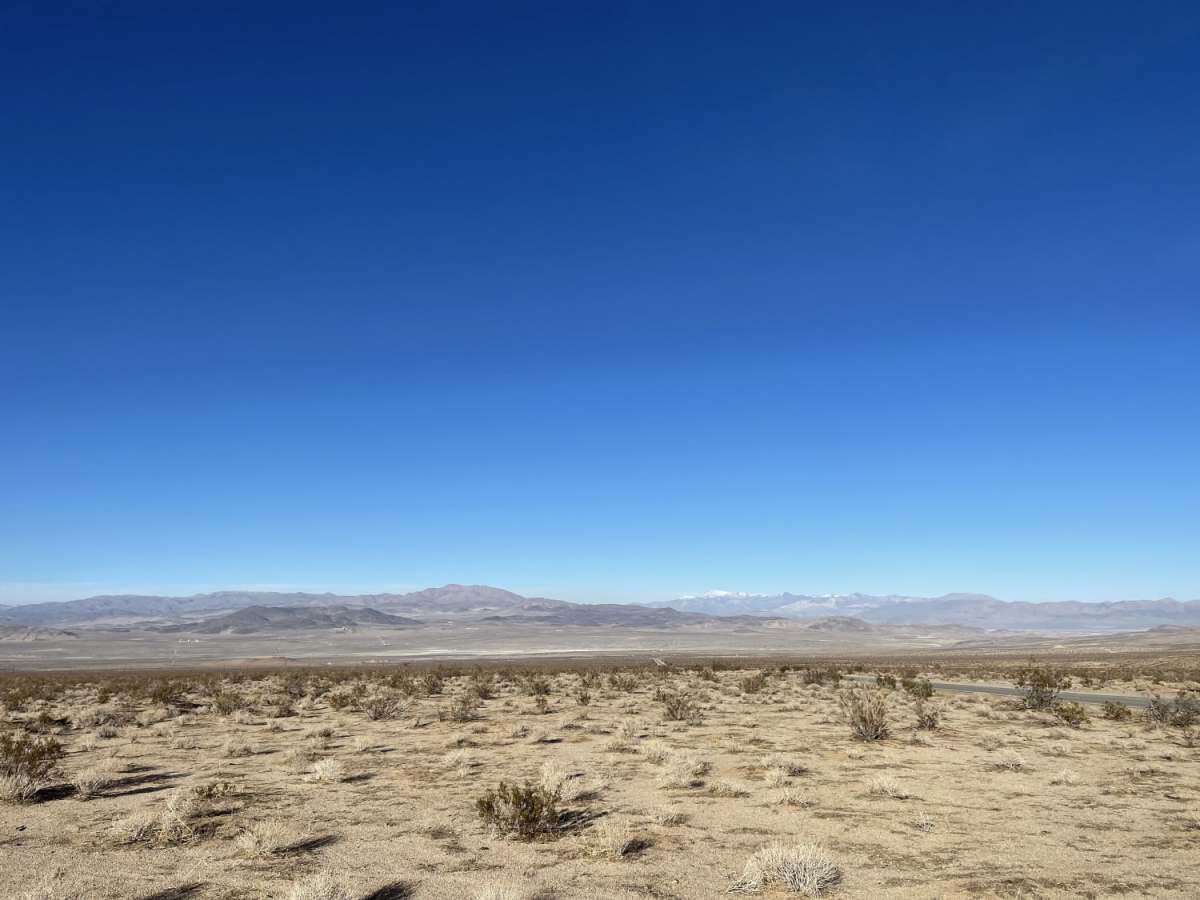
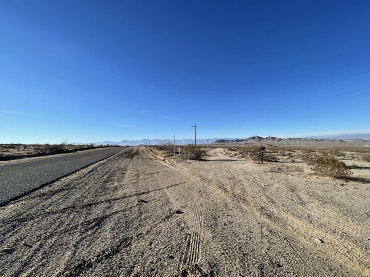
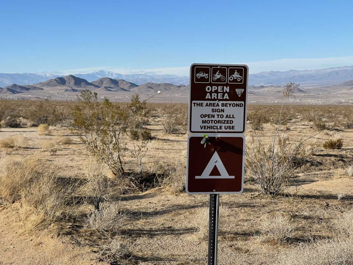
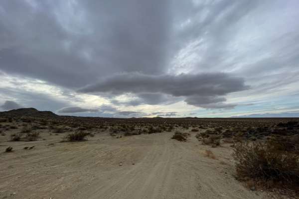
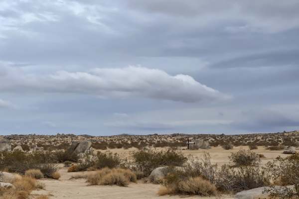
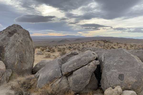
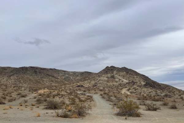
Milford Road Cutover is a scenic and straightforward 3.6-mile connector trail ideal for beginners, overlanders, and those looking for a quick route between Highway 178 and Trona Road in the Mojave Desert. What makes this trail stand out is its easy access to dispersed camping and the frequent opportunity to spot military aircraft, such as F-18s, training overhead from nearby bases. Cutting through Bureau of Land Management (BLM) land, the trail serves as a convenient transit corridor just east of Ridgecrest. The route experiences a gentle elevation loss of approximately 360 feet as it runs from northwest to southeast, starting at an elevation of 2,746 feet and ending near 2,387 feet. Visitors will traverse a landscape dominated by creosote scrub, offering expansive desert views and scattered primitive camping spots perfect for a quiet night under the stars.
With a technical rating of 3, the trail is primarily composed of unpaved dirt and sand surfaces, featuring occasional minor washouts that require basic line choice. While highly accessible, high-clearance four-wheel-drive vehicles, SxSs, and dirt bikes will find it most enjoyable, especially when navigating the softer sandy patches. This area is active desert tortoise habitat, so drivers should remain vigilant and watch the trail closely to protect these sensitive reptiles. Cellular reception is generally functional with up to two bars of Verizon LTE coverage, though having downloaded offline maps is recommended. The route is open year-round, but spring and fall offer the most comfortable temperatures for exploring this pocket of the California desert.