Trail Overview
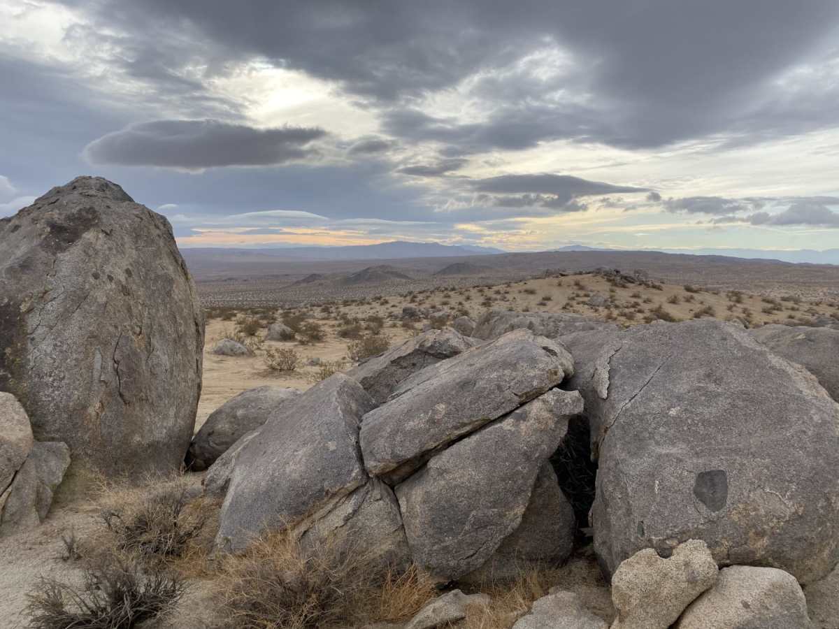
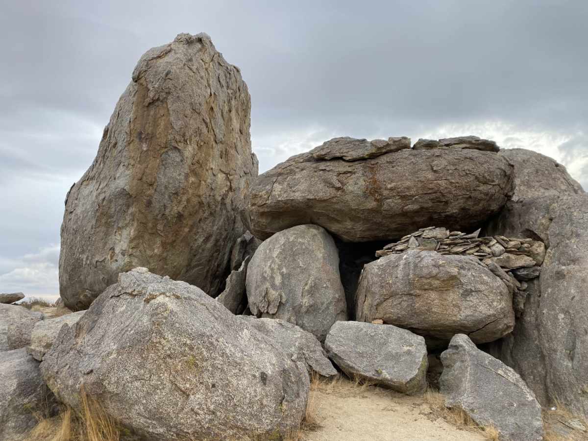
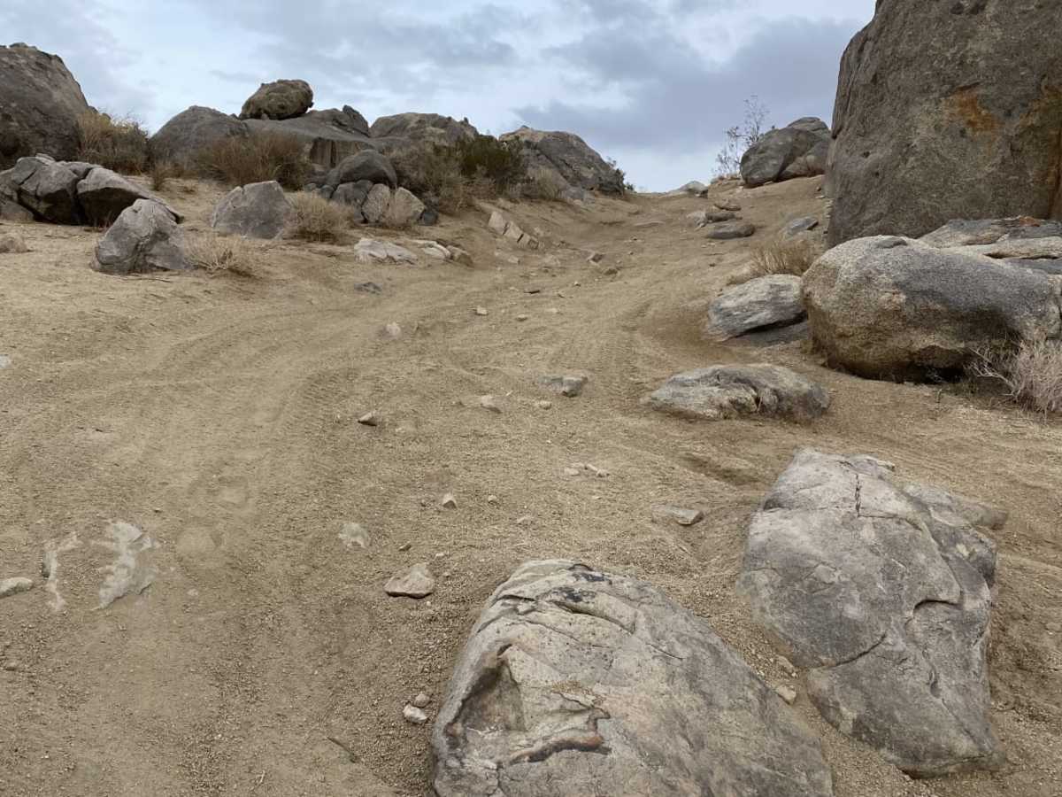
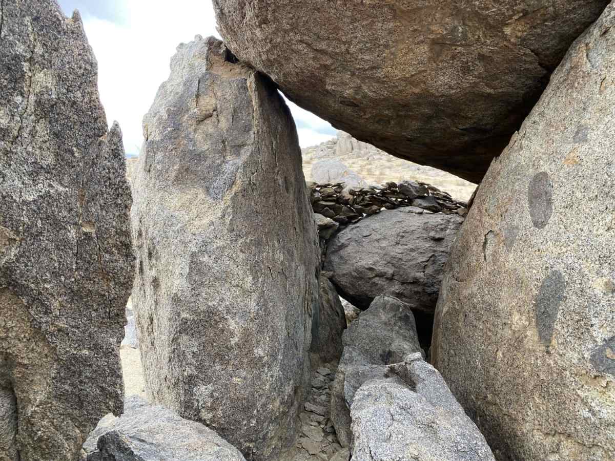
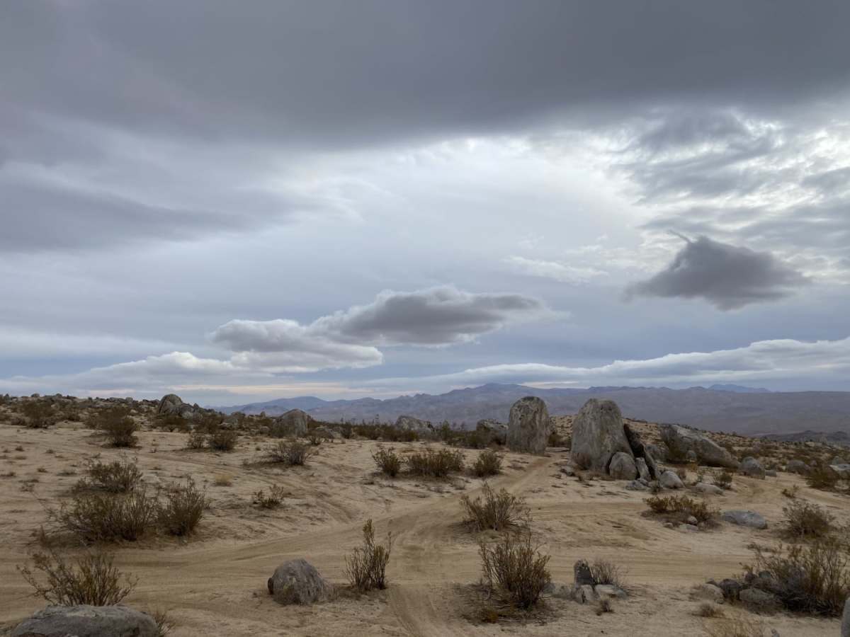
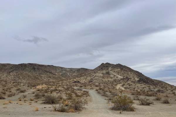
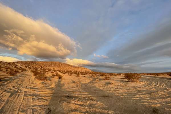
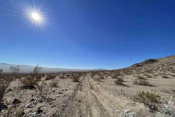
Rock Formations Loop is a scenic and challenging 3.2-mile off-road trail in the Spangler Hills OHV Area, ideal for dirt bike and ATV riders looking to explore unique desert rock formations. This route winds through a variety of desert terrain, featuring sandy washes, deep whoops, hill climbs, and loose rocky sections that demand attentive riding. With an elevation ranging from 3,194 feet to 3,484 feet, the trail offers a total elevation gain of approximately 353 feet, providing riders with dramatic viewpoints overlooking the surrounding Mojave Desert. Intersecting singletrack and alternative spurs weave throughout the landscape, allowing for customizable loops and additional technical challenges.
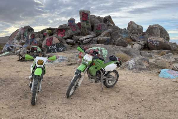
Due to the narrow nature of the trail, this route is best suited for motorcycles and ATVs, though smaller SxSs may negotiate portions of the terrain. The technical difficulty is rated moderate, requiring riders to have some experience navigating loose surfaces and steep, uneven climbs. Located just off Trona Road and Stephens Mine Road, the loop is easily accessible and offers pocket areas of cell service, typically measuring around two bars of LTE. Visitors should plan to pack plenty of water, as summer temperatures in the Spangler Hills can be extreme, making fall through spring the ideal seasons for this desert adventure.
Access Description
The route is located within the Spangler Hills Off-Highway Vehicle Recreation Area, which is managed by the Bureau of Land Management (BLM). There are no entry fees or permits required to access or camp in the area, but all vehicles must be registered. California residents must have a current green or red sticker, and out-of-state visitors must possess a valid nonresident OHV permit. Whip flags are highly recommended for safety in this heavily trafficked riding area.

 Offroad