
Beginner Off-Road Trails
Near Saguache, Colorado
Explore All Beginner Trails Near Saguache, Colorado
Beginner Off-Road Trails Near Saguache, Colorado
Discover the best beginner-friendly off-road trails near you. These easier, lower-rated trails are a great place to start — browse trail maps, check difficulty ratings, and find your next adventure.
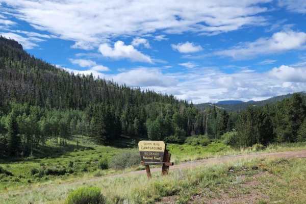
Carnero
You will enjoy this road with its amazing views, and access to other roads. There are a few spots that look like they would be good for camping. The road can be muddy when wet, with some water puddles. Dirt or rocky road with gentle grades. Safe for most 4WD and high-clearance 2WD vehicles. Roads ar...
Learn more about Carnero
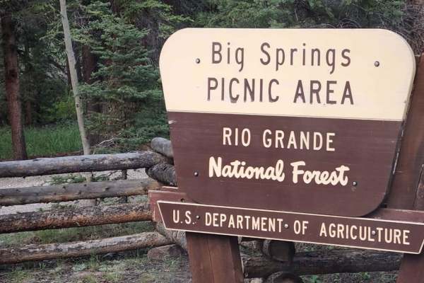
Big Springs
You will enjoy this road with its pretty views. There are a bunch of camping spots, enough space for a large group at some. There is a bathroom and picnic area at the end of the road, with a bathroom.Dirt or rocky road with gentle grades. Safe for most 4WD and high-clearance 2WD vehicles. Roads are ...
Learn more about Big Springs
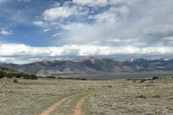
Clayton Road
This road travels west from Highway 285 to a junction of various trails that are popular with local residents. This area includes sweeping views of the surrounding Sawatch and Sangre de Cristo mountain ranges, as well as plenty of the wild antelope that are common to this area. Additionally, there a...
Learn more about Clayton Road
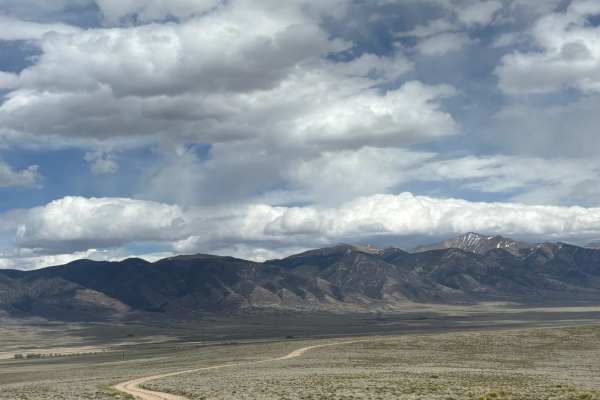
Kelly Creek Road
This road travels across the plains at the foot of the Sawatch Range, west of the Sangre de Cristo Range. It travels through BLM, but borders on some remote residential areas. You may see ATVs from the surrounding houses enjoying this area after work. As you traverse this trail, you'll see stunning ...
Learn more about Kelly Creek Road
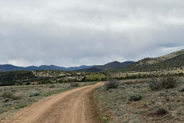
Kelly Creek Cutoff
This trail connects North Turquoise Road with Kelly Creek Road, providing access to the Kelly Creek Trailhead from the northern portion of the plains below the Sawatch Range. The road includes stunning views of the surrounding peaks to the east and the flowing foothills to the west, as well as two e...
Learn more about Kelly Creek Cutoff
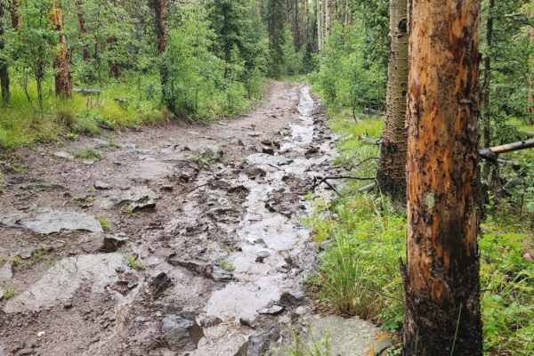
Lake Mountain
This road can be muddy when wet with water puddles. There is a stream that runs in the road and it is rocky at times. It has beautiful views and water crossings less than a foot deep. There seems to be no camping. Uneven, rutted dirt trail with potential for loose rocks and sandy washes. Potential f...
Learn more about Lake Mountain
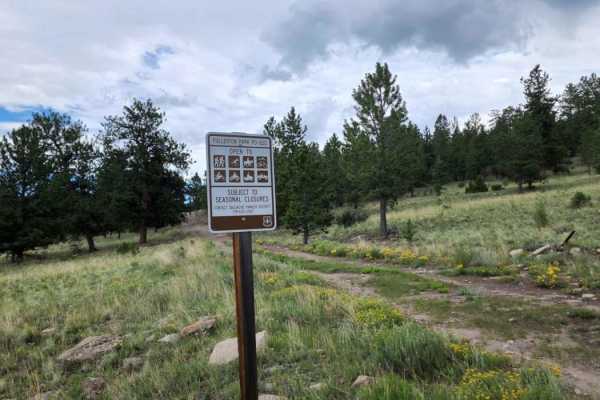
Fullerton Park
Beautiful road with amazing views to enjoy. There isn't much for camping, maybe a spot or two. There are a lot of downed trees, so you may have to turn around or carry a chainsaw. This road can be muddy when wet, with water puddles. Dirt or rocky road, typically unmaintained after rain or snow. You ...
Learn more about Fullerton Park
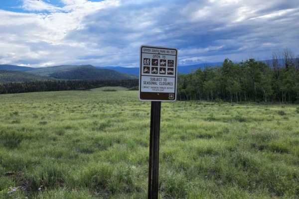
Upper South Park
Upper South Park is a scenic, beginner-friendly 5.9-mile trail near Mount Lion that offers stunning alpine meadow views and gentle terrain perfect for four-wheel-drive vehicles and SxSs. Winding through the high-altitude landscape of Saguache County, the route reaches a maximum elevation of 10,062 f...
Learn more about Upper South Park
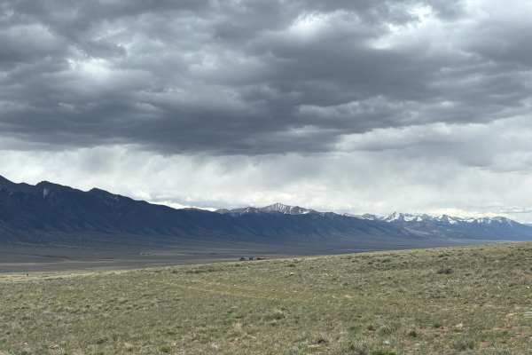
Hi-Wire Road
This is a unique trail that follows a series of high voltage lines across the open plains at the foot of the southern end of the Sawatch Range. While there are no major obstacles, this trail can become extremely muddy during rain or snow, so use caution if the weather is expected. At the terminus of...
Learn more about Hi-Wire Road
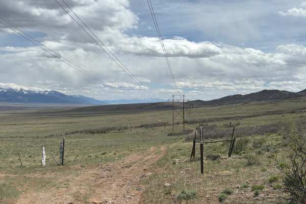
Wild Bill Gulch Road
This route works its way through the base of the foothills of the Sawatch Range, right above (and eventually down to) the open plains below. As you make your way through this rugged terrain, you'll see sweeping views of the surrounding peaks in both the Sawatch and Sangre de Cristo mountain ranges. ...
Learn more about Wild Bill Gulch Road
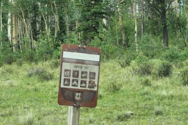
Deer Creek
Beautiful road with amazing views to enjoy. There isn't much for camping, maybe a spot or two. There are a lot of gates on this road for cattle; please return the gates how you found them. This road can be muddy when wet, with water puddles. Dirt or rocky road, typically unmaintained after rain or s...
Learn more about Deer Creek
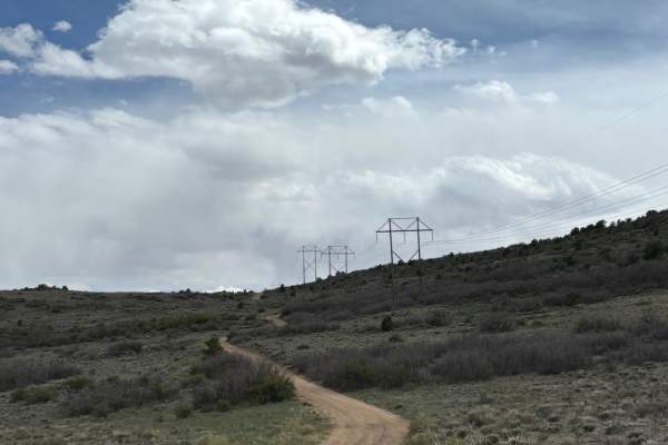
North Turquoise Road
This trail works its way through the open plains between the Sawatch and Sangre de Cristo mountain ranges and falls entirely within BLM, although it passes by a small ranch towards the end. At times, the trail can be hard to see from scrubby overgrowth, but it is generally flat and easy to traverse....
Learn more about North Turquoise Road
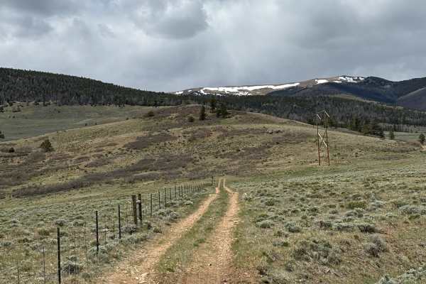
Turquoise Road
This road heads west of Highway 285, across the plains at the foot of the southern Sawatch Range. The road itself is a simple dirt trail that can appear overgrown with scrub at times, making it difficult to see. Along this route, you'll see sweeping views of the surrounding mountain and may encounte...
Learn more about Turquoise Road
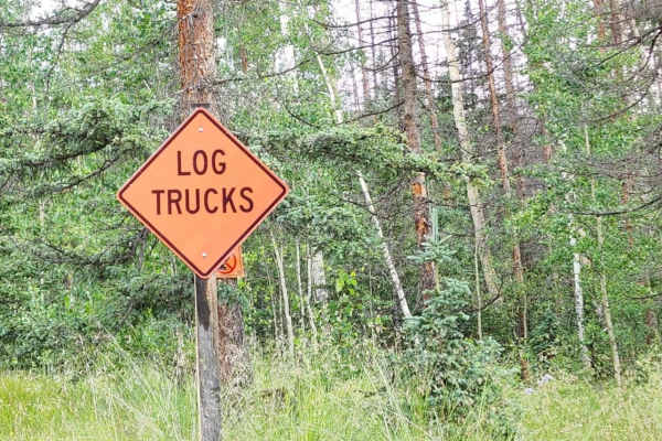
Lookout Mountain
Beautiful road with amazing views to enjoy. There isn't much for camping, maybe a spot or two. There can be a lot of wildlife, and might be muddy when wet. There is a chance of falling trees. Dirt or rocky road with gentle grades. Safe for most 4WD and high-clearance 2WD vehicles. Roads are typicall...
Learn more about Lookout Mountain
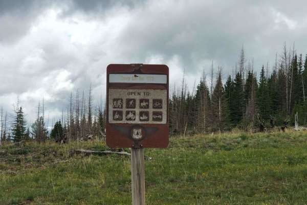
Cave Creek
Beautiful road with amazing views to enjoy. There isn't much for camping, maybe a spot or two. The road can be tight in spots, and it will be muddy when wet, with some water puddles. Pretty views at the top. Dirt or rocky road, typically unmaintained after rain or snow. You may encounter shallow wat...
Learn more about Cave Creek
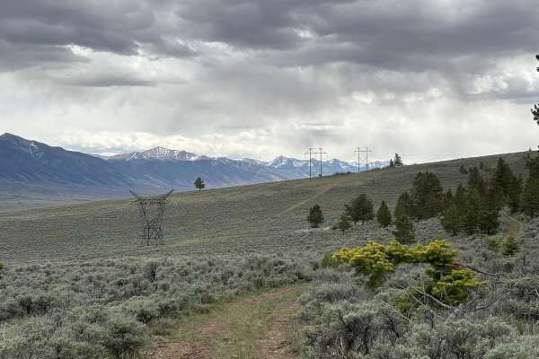
Old Railroad Road
This road heads west of Highway 285, near the Bonanza Highlights trail. It ends near a series of overgrown (but still accessible) trails that head further into the foothills or connect back with the Bonzana Highlights trail. Along the way, you'll see incredible views of the surrounding peaks and her...
Learn more about Old Railroad Road
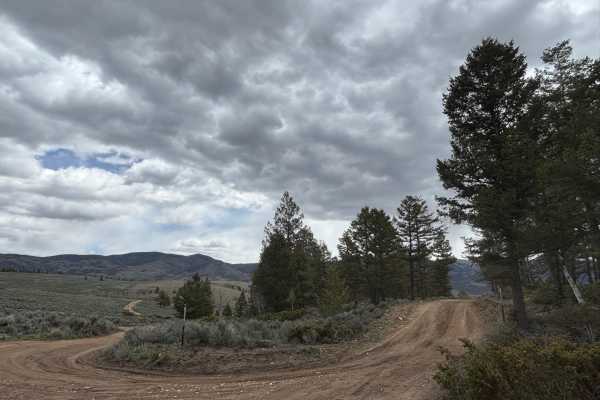
Raghorn Road
This road deviates from Poncha Loop and connects with Velvet Buck Road to provide access to several dispersed campsites. While this road used to head further into the foothills of the southern Sawatch Range, that portion of the road has been closed off at this time. Still, it's worth traveling to ad...
Learn more about Raghorn Road
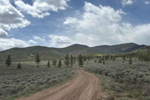
Clover Creek Road
This road provides an alternate way in or out of the main Poncha Loop Road. Along the way, you'll see beautiful views of the surrounding peaks from the southern end of the Sawatch Range and the northern end of the Sangre de Cristo Range. There are several exposed dispersed campsites that are worth c...
Learn more about Clover Creek Road
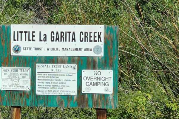
La Garita
This scenic four-wheel-drive route offers a mild, beginner-friendly offroad experience through the picturesque La Garita Mountains, featuring stunning panoramic views and a gentle elevation gain. Extending approximately 4.8 miles, the trail is well-suited for high-clearance vehicles, stock SUVs, and...
Learn more about La Garita
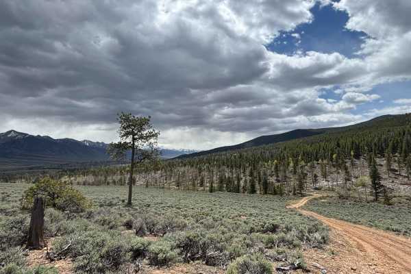
Velvet Buck Road
This road branches off of Poncha Loop and heads further into the foothills of the southern end of the Sawatch Range. It provides several excellent dispersed camping opportunities and views of the surrounding peaks. The road itself is mild and often accessed by budding dirt bikers or families looking...
Learn more about Velvet Buck Road
Beginner ATV trails near Saguache, Colorado
Explore ATV-friendly trails near you. These trails are accessible for vehicles up to 50 inches wide, perfect for ATVs and smaller off-road machines.
Carnero
You will enjoy this road with its amazing views, and access to other roads. There are a few spots that look like they would be good for camping. The road can be muddy when wet, with some water puddles. Dirt or rocky road with gentle grades. Safe for most 4WD and high-clearance 2WD vehicles. Roads ar...
Learn more about Carnero
Big Springs
You will enjoy this road with its pretty views. There are a bunch of camping spots, enough space for a large group at some. There is a bathroom and picnic area at the end of the road, with a bathroom.Dirt or rocky road with gentle grades. Safe for most 4WD and high-clearance 2WD vehicles. Roads are ...
Learn more about Big Springs
Clayton Road
This road travels west from Highway 285 to a junction of various trails that are popular with local residents. This area includes sweeping views of the surrounding Sawatch and Sangre de Cristo mountain ranges, as well as plenty of the wild antelope that are common to this area. Additionally, there a...
Learn more about Clayton Road
Kelly Creek Road
This road travels across the plains at the foot of the Sawatch Range, west of the Sangre de Cristo Range. It travels through BLM, but borders on some remote residential areas. You may see ATVs from the surrounding houses enjoying this area after work. As you traverse this trail, you'll see stunning ...
Learn more about Kelly Creek Road
Beginner UTV/side-by-side trails near Saguache, Colorado
Find UTV and side-by-side trails near you. These trails accommodate vehicles up to 60 inches wide, ideal for UTVs, side-by-sides, and wider off-road rigs.
Carnero
You will enjoy this road with its amazing views, and access to other roads. There are a few spots that look like they would be good for camping. The road can be muddy when wet, with some water puddles. Dirt or rocky road with gentle grades. Safe for most 4WD and high-clearance 2WD vehicles. Roads ar...
Learn more about Carnero
Big Springs
You will enjoy this road with its pretty views. There are a bunch of camping spots, enough space for a large group at some. There is a bathroom and picnic area at the end of the road, with a bathroom.Dirt or rocky road with gentle grades. Safe for most 4WD and high-clearance 2WD vehicles. Roads are ...
Learn more about Big Springs
Clayton Road
This road travels west from Highway 285 to a junction of various trails that are popular with local residents. This area includes sweeping views of the surrounding Sawatch and Sangre de Cristo mountain ranges, as well as plenty of the wild antelope that are common to this area. Additionally, there a...
Learn more about Clayton Road
Kelly Creek Road
This road travels across the plains at the foot of the Sawatch Range, west of the Sangre de Cristo Range. It travels through BLM, but borders on some remote residential areas. You may see ATVs from the surrounding houses enjoying this area after work. As you traverse this trail, you'll see stunning ...
Learn more about Kelly Creek Road
The onX Offroad Difference
onX Offroad combines trail photos, descriptions, difficulty ratings, width restrictions, seasonality, and more in a user-friendly interface. Available on all devices, with offline access and full compatibility with CarPlay and Android Auto. Discover what you're missing today!
Open Trail Map