Trail Overview
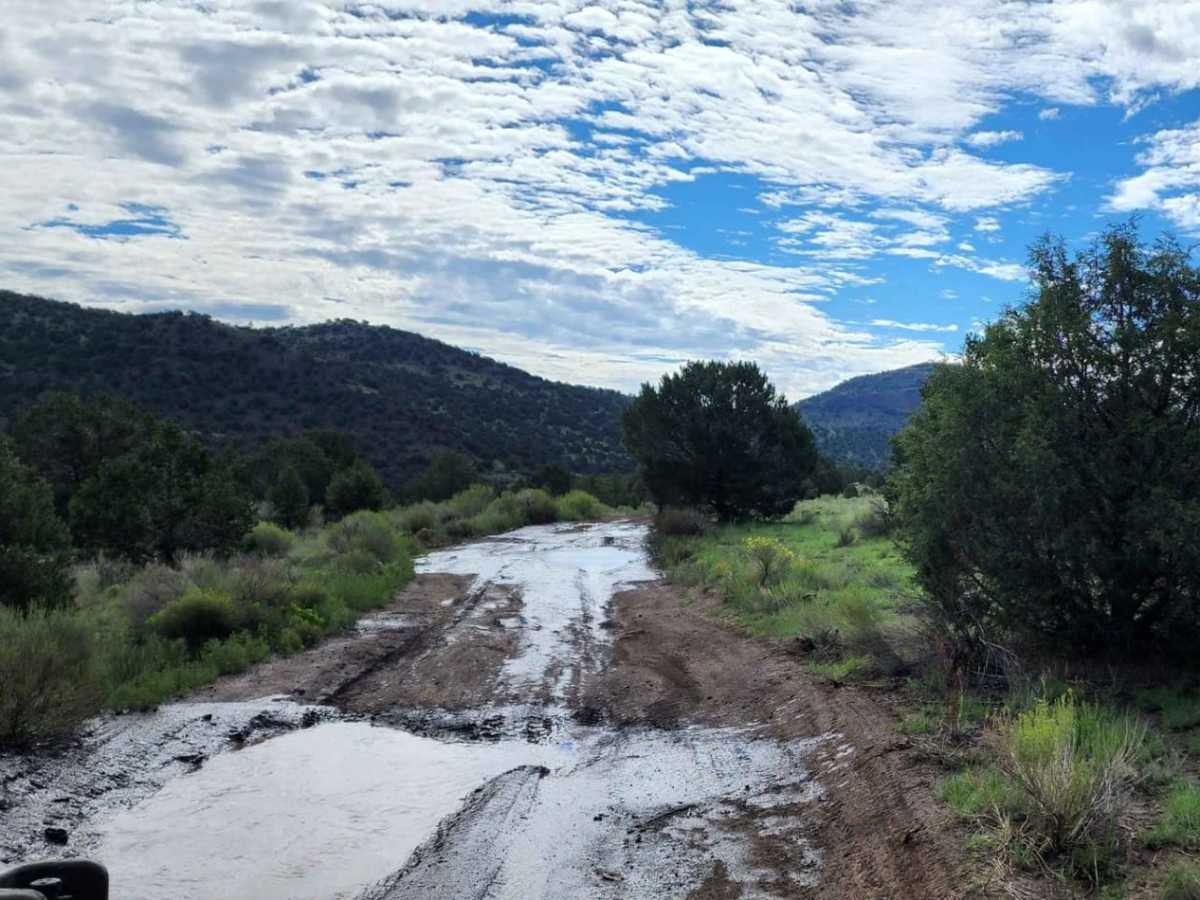
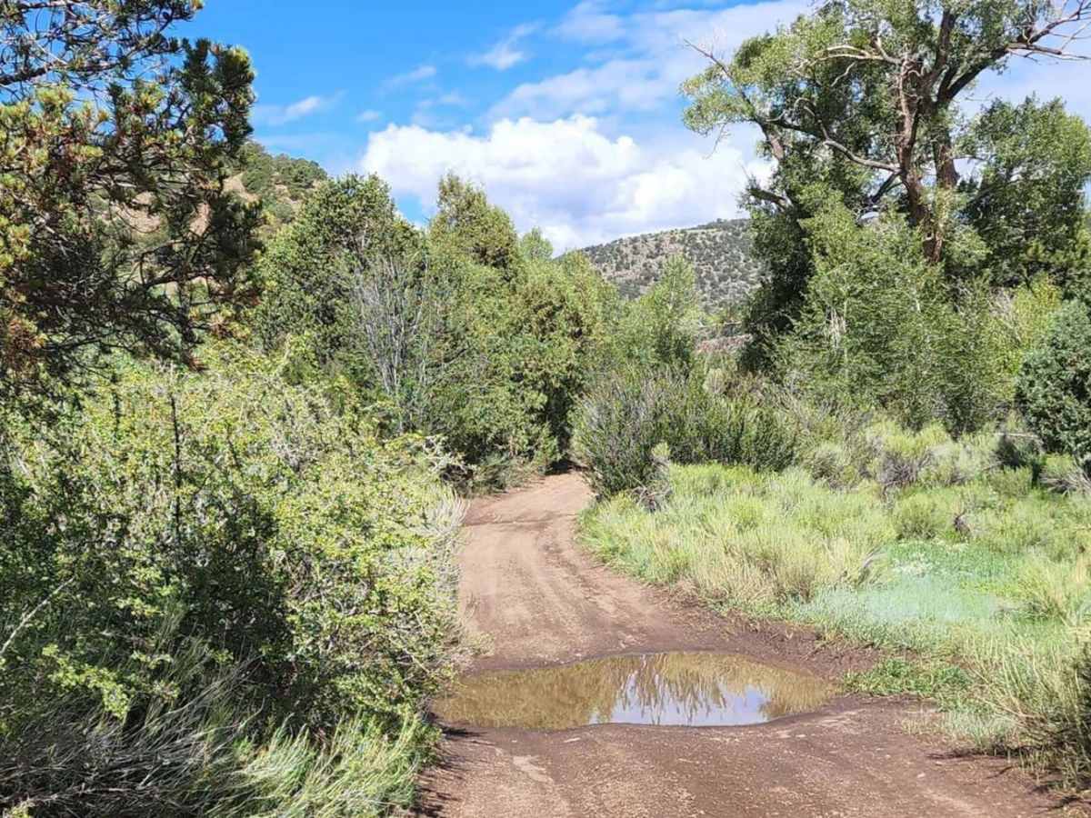
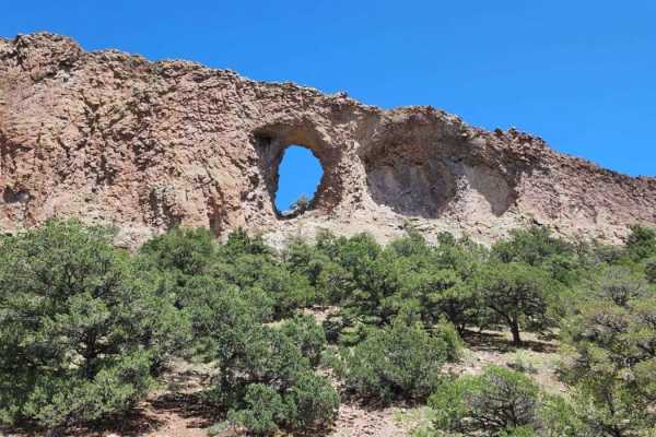
This scenic four-wheel-drive route offers a mild, beginner-friendly offroad experience through the picturesque La Garita Mountains, featuring stunning panoramic views and a gentle elevation gain. Extending approximately 4.8 miles, the trail is well-suited for high-clearance vehicles, stock SUVs, and SxSs looking for an easy, scenic dirt and rocky route. The trail climbs from an elevation of 8,335 feet to a peak of 8,863 feet, making for a gradual climb of about 538 feet. While generally straightforward, the unpaved surface is unmaintained after rain or snow and can become extremely muddy and rutted, which can significantly increase the difficulty.
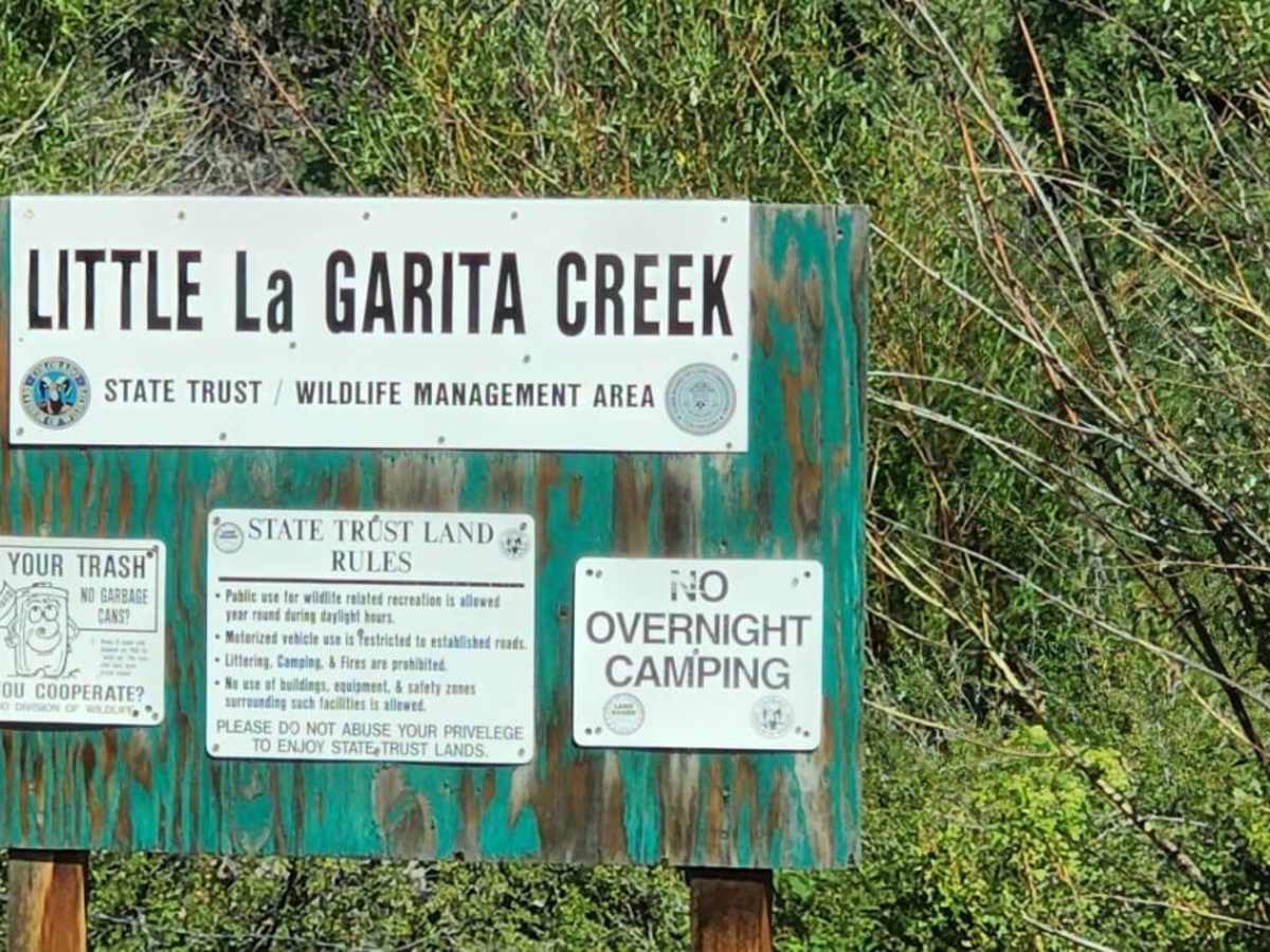
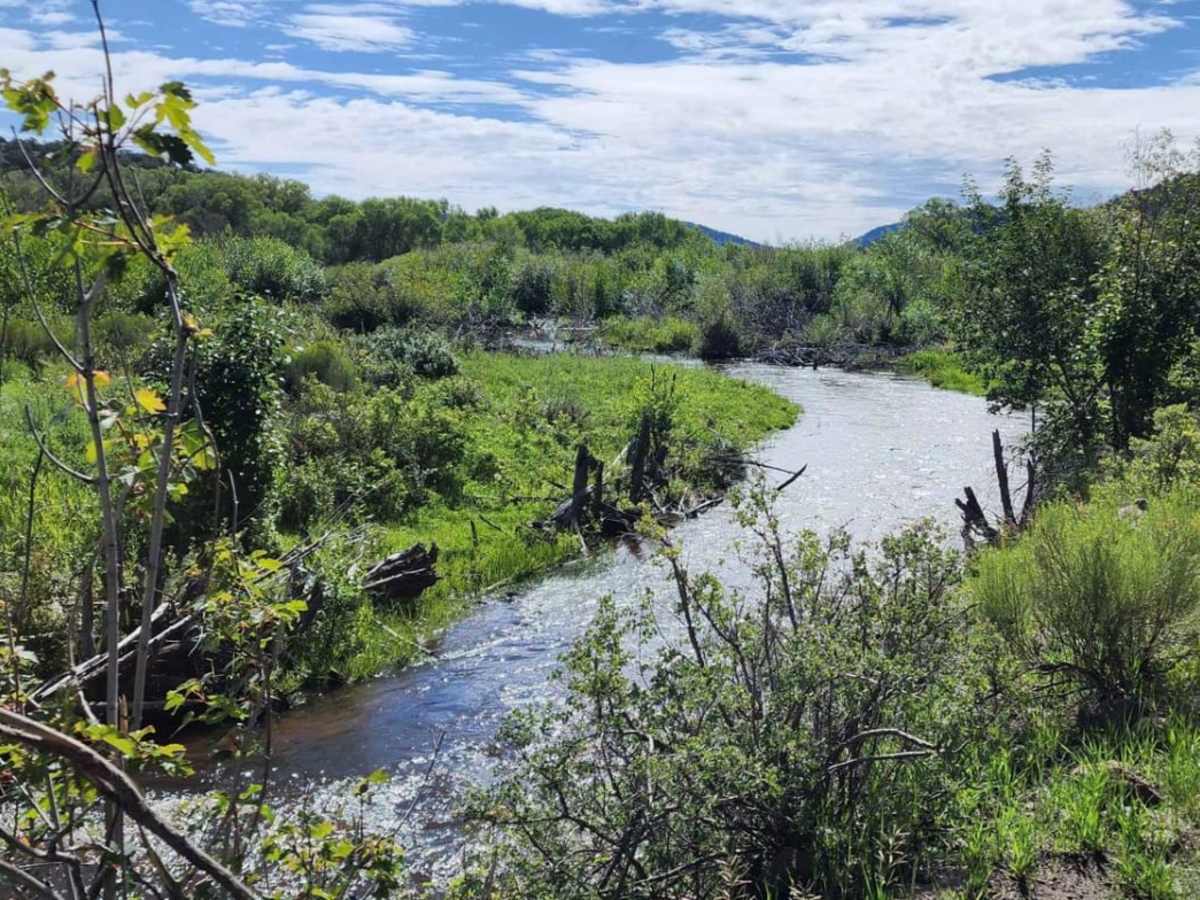
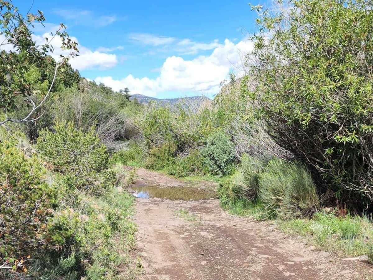
Drivers should prepare for occasional shallow water crossings and minor obstacles like small rock ledges under 12 inches high. The road is typically one to two vehicles wide, requiring drivers to stay alert for oncoming traffic. There is no camping available along this trail, so plan to pack out what you pack in. Most importantly, the motorized route ends at a deep stream crossing; offroaders must turn around at this point, as the trail beyond the stream transitions exclusively to hiking, equestrian, and mountain bike use.
Access Description
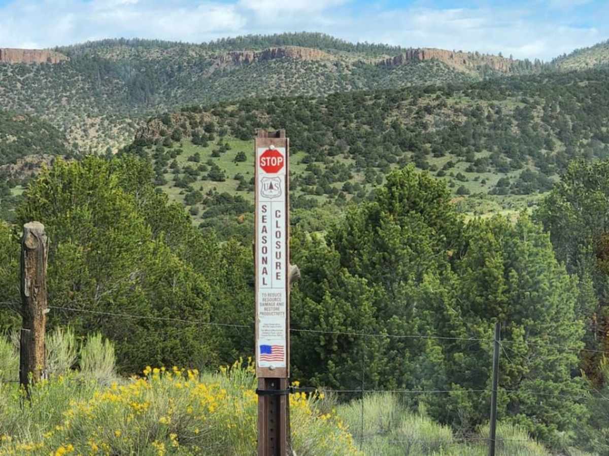
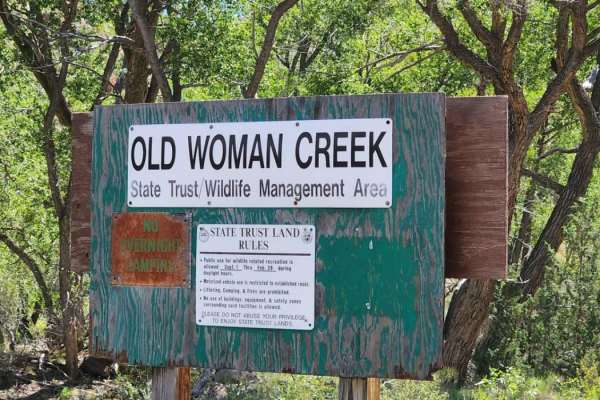
This route is typically unmaintained after rain or snow and can become exceptionally muddy. Motorized vehicles, including four-wheel-drive trucks and SxSs, must stop and turn around at the deep stream crossing, as the trail transitions strictly to non-motorized hiking, equestrian, and mountain bike use beyond that point. Camping is not available along this corridor.

 Offroad