Trail Overview
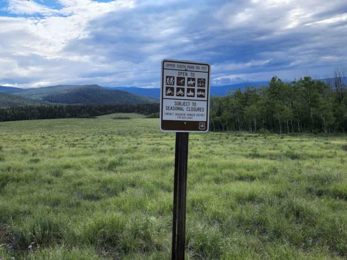
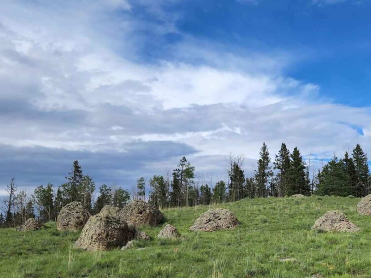
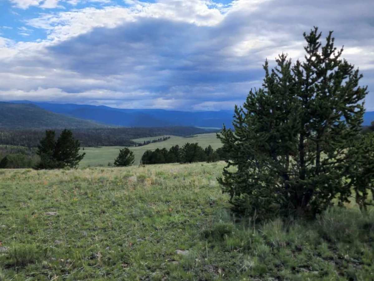
Upper South Park is a scenic, beginner-friendly 5.9-mile trail near Mount Lion that offers stunning alpine meadow views and gentle terrain perfect for four-wheel-drive vehicles and SxSs. Winding through the high-altitude landscape of Saguache County, the route reaches a maximum elevation of 10,062 feet and drops to a low of 8,954 feet, with approximately 418 feet of elevation gain and 1,196 feet of elevation loss. Rated a technical 2, the road is typically one to two vehicles wide and winds past picturesque vistas and lush mountain meadows teeming with local wildlife.
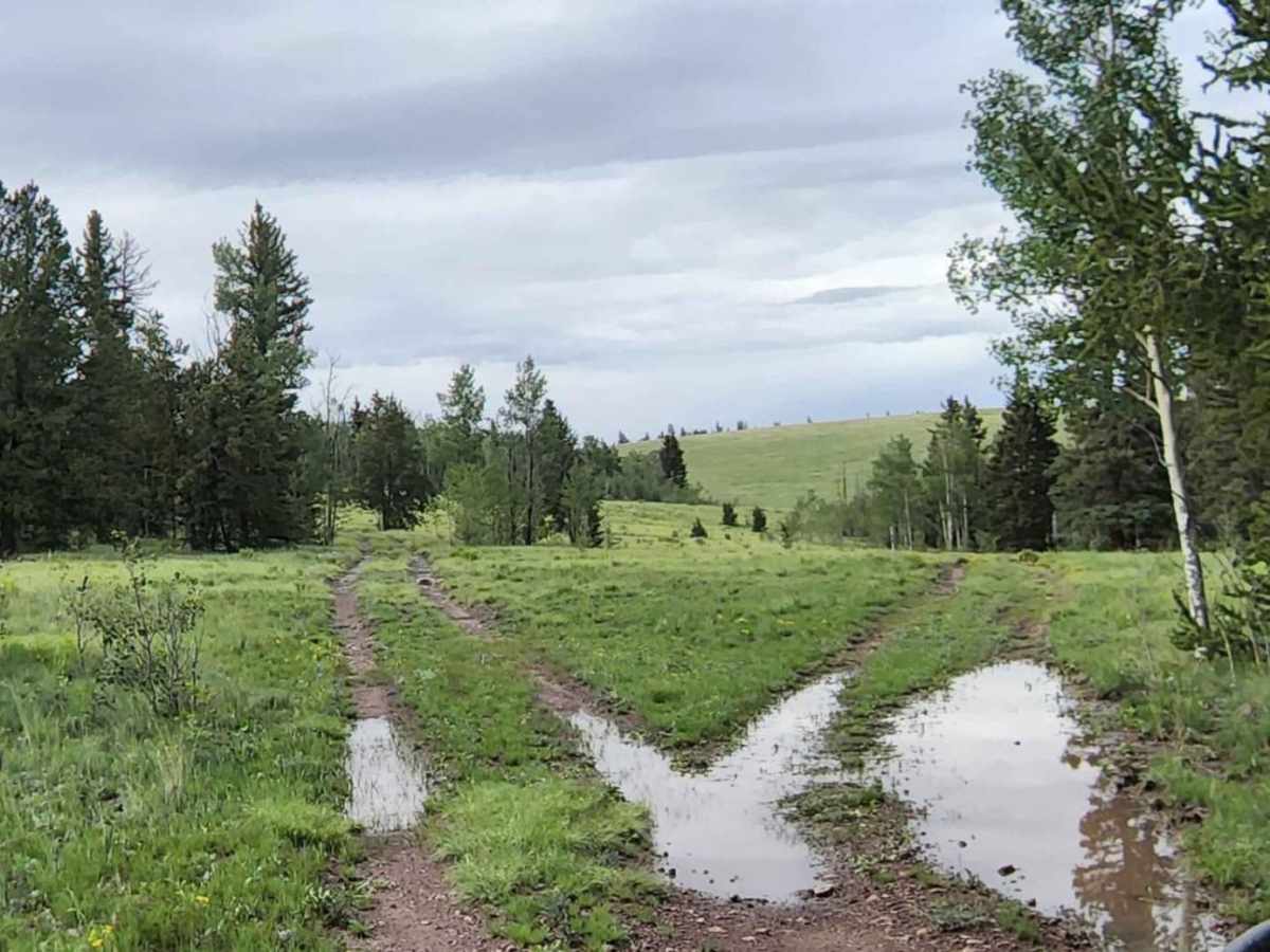
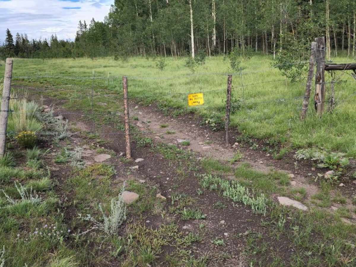
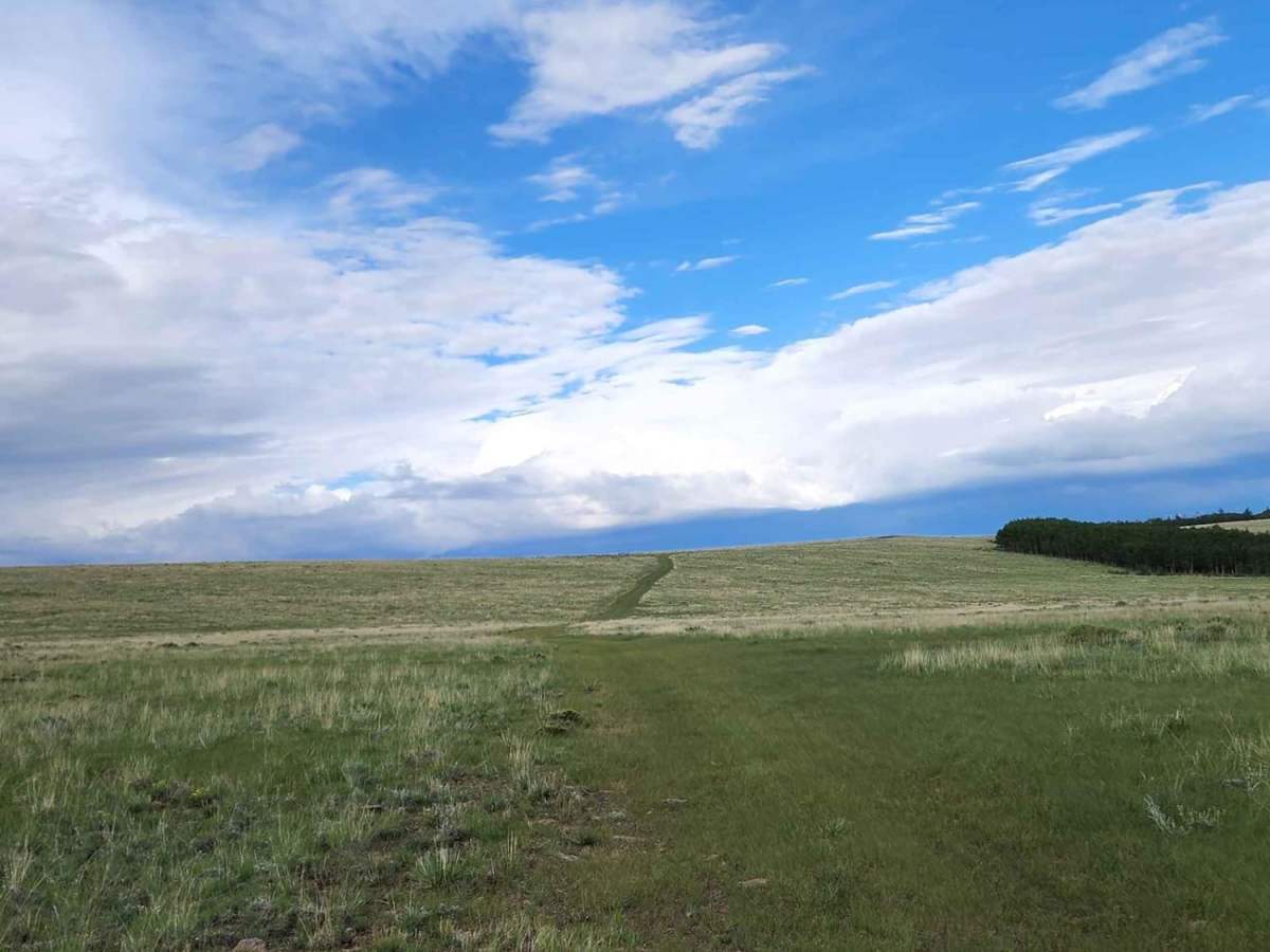
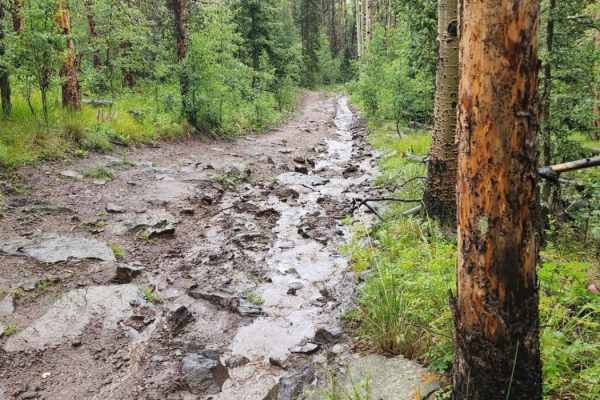
The trail surface consists of unpaved dirt and rocks that are generally unmaintained after wet weather, meaning drivers can expect mud puddles, shallow water crossings, and minor obstacles under 12 inches such as small rock ledges. Because the fast-growing summer grasses can occasionally obscure the track in the meadows, navigation requires careful attention in certain sections. There are no designated camping spots along this specific route, so visitors should plan for a daytime excursion or use the trail to connect to the broader network of surrounding forest service roads.