
Beginner Off-Road Trails
Near Rio Dell, California
Explore All Beginner Trails Near Rio Dell, California
Beginner Off-Road Trails Near Rio Dell, California
Discover the best beginner-friendly off-road trails near you. These easier, lower-rated trails are a great place to start — browse trail maps, check difficulty ratings, and find your next adventure.
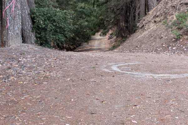
Kerlin Creek Road - FS 3N14
This road starts from the end of the Grapevine Creek Road - FS 4N20 and connects through to Lower South Fork Road. It is designated on the motor vehicle use map as for Highway Legal Vehicles only. It is narrower and rougher near FS 4N20, but it improves as it descends. The road is wide enough to me...
Learn more about Kerlin Creek Road - FS 3N14
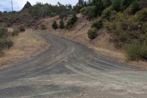
Grapevine Creek Road - FS 4N20
This mostly gravel road begins from Lower South Fork Road and ends where it meets Kerlin Creek Road - FS 3N14 at the Forest Service property boundary. The road is initially a generous single lane, but becomes narrower and natural surface for the last couple of miles. The first several miles of the r...
Learn more about Grapevine Creek Road - FS 4N20
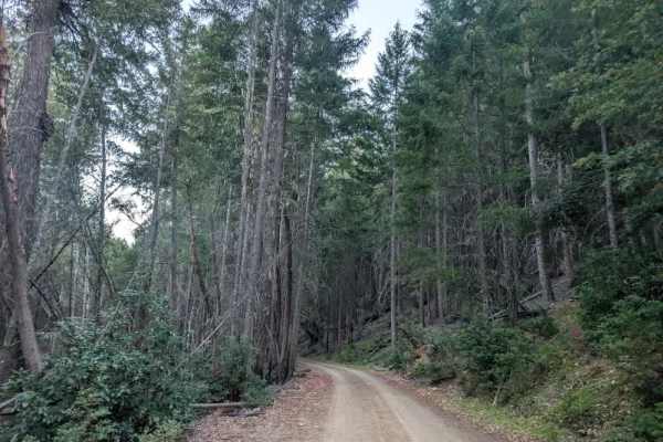
FS 1S01
This long, well-maintained trail descends through the forest, then levels out and continues toward the end of the route. Some fallen trees remain along the road, but most have been cut and moved out of the travel path. A few larger logs still require vehicles to drive over them, but they are managea...
Learn more about FS 1S01
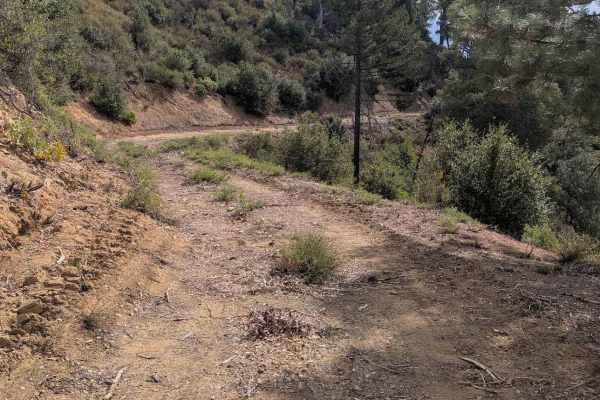
Crewcut Road - FS 4N04
This single-lane dirt road starts from Eltapom Road - FS 4N24 and connects through to Corral Bottom Road - FS 5N60. It goes through a mixed forest and open areas. The road has a few areas of erosion damage up to a foot deep, along with random loose rocks up to six inches in diameter. The road is too...
Learn more about Crewcut Road - FS 4N04
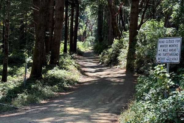
Usal Road (Northern Portion)
As you enter from this northern part of the trail, you'll be surrounded by trees covered in moss, beautiful views of the ocean peaking in through the trees, and well-grated gravel. There are parts of the trail that are narrow with some wash-out sections and some drop-off sections on the west side of...
Learn more about Usal Road (Northern Portion)
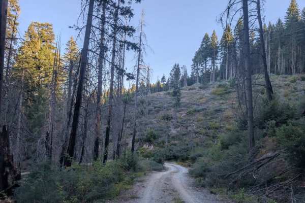
Swift Creek
This user-maintained, single-lane trail starts in relatively good condition but becomes increasingly obstructed by natural debris. The route starts with a significant downhill section before climbing back up, with numerous fallen and precariously positioned logs along the way. Following major storms...
Learn more about Swift Creek
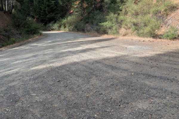
Eltapom Road - FS 4N24
This single-lane gravel road begins from the paved Corral Bottom Road - FS 5N60. It ends at a locked gate about 4.5 miles in. The road is generally in good condition, but there are some areas of erosion damage around a foot deep. It also has some exposed embedded rocks and loose rocks up to six inch...
Learn more about Eltapom Road - FS 4N24
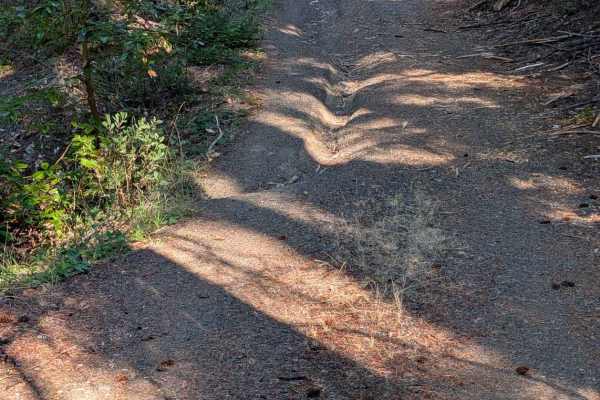
Round Knob Road - FS 5N27
This single-lane gravel road begins at Hennessy Road - FS 5N40 and ends back at Underwood Mountain Road - FS 5N60. It has some erosion damage up to a foot deep and exposed embedded and loose rocks up to six inches high. The road travels through a mixed forest with quite a bit of undergrowth. There i...
Learn more about Round Knob Road - FS 5N27
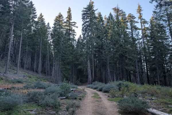
Sixteen
This well-maintained trail is a pleasant and enjoyable route through a beautiful, green forest. It climbs steeply at the beginning before leveling out, making for an easier, more relaxed ride farther along. The route passes through a more open forest before entering a denser section, then opens up a...
Learn more about Sixteen
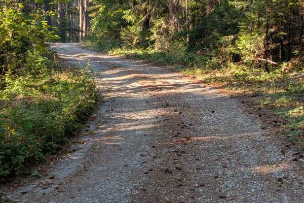
Hennessy Road - FS 5N40
This single-lane gravel road starts across FS 60 from Big Lake Road - FS 5N09. Patches of old pavement remain from years past, though they now serve more to channel and concentrate erosion than provide a usable road surface. The road has areas of erosion damage up to a foot deep, along with loose an...
Learn more about Hennessy Road - FS 5N40
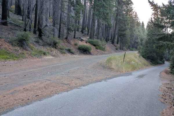
Big Lake Road - FS 5N09
This single-lane road is mostly gravel with some natural surface areas. It is wide enough to meet another vehicle safely for most of its length. The road surface is mostly good, but it has some erosion damage and areas with loose, exposed embedded rocks up to a foot deep or higher. In August, Big La...
Learn more about Big Lake Road - FS 5N09
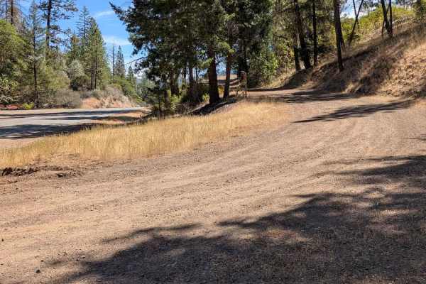
Camp Trinity Road - FS 3N20
This single-lane dirt road starts from Hyampom Road and climbs up to connect with the Butter Creek Road - FS 3N08. It is a shelf road for a significant part of its length. Some sections are too narrow to meet another full-size vehicle easily, but there are places to meet safely. The road has some ar...
Learn more about Camp Trinity Road - FS 3N20
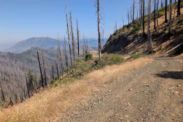
Eagle Rock Road - FS 4N11
This single-lane road is mostly gravel with some areas of natural surface. It is wide enough to meet and pass another vehicle safely for much of its length, but does have sections too narrow for that. It has some erosion damage up to a foot deep and loose and exposed embedded rocks up to a foot high...
Learn more about Eagle Rock Road - FS 4N11
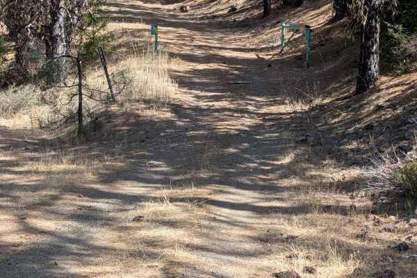
West Oak Road - FS 2N64
This single-lane dirt and gravel road begins from Yellow Jacket Road - FS 2N18 and connects through to Slipthrough Road - FS 2N09, which in turn connects to Yellow Jacket Road - FS 2N18 and Indian Valley Road - FS 2N10. The road surface has areas of erosion damage up to a foot deep, along with expos...
Learn more about West Oak Road - FS 2N64
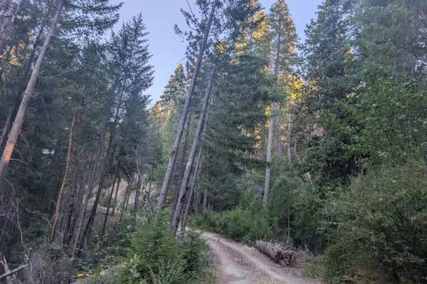
FS 1S06
This trail is well maintained for the first 700 feet or so, then becomes increasingly obstructed by storm debris and fallen trees. The route isn’t particularly difficult, but you’ll need to navigate carefully to work around trees and avoid scratching your vehicle. The trail ends because heavy overgr...
Learn more about FS 1S06
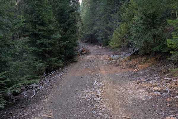
Clark Creek Loop - FS 4N25
This single-lane gravel road begins and ends on the paved FS 5N60 road. The road surface is mostly good, with minor ruts and erosion damage. There are also a few places with rocks less than six inches high scattered across the road. The road travels through a mixed forest for most of its length, but...
Learn more about Clark Creek Loop - FS 4N25
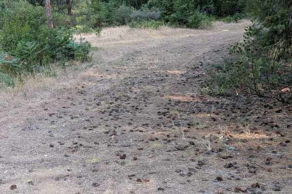
Little Bear Wallow Road - FS 1N15
This single-lane natural surface road is mostly dirt with sections of gravel. It begins at Bear Wallow Road - FS 1S14 and connects through to V-Springs Road - FS 1N14. The surface is mostly smooth with a few areas of ruts and erosion damage around six inches deep and a few random loose rocks up to s...
Learn more about Little Bear Wallow Road - FS 1N15
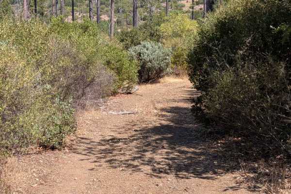
Friend Lake Road - FS 1N35
This single-lane dirt road starts from the Friend Mountain Road - FS 2N15and ends at a well-marked private property boundary. On some base maps, it is named Friend Lake Road, but it does not go through to the lake. It does intersect with the FS 1N40 road for a possible loop. The road has sections o...
Learn more about Friend Lake Road - FS 1N35
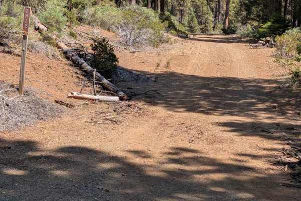
Camp Carter Road - FS 2N22
This single-lane dirt road starts at the Indian Valley Road - FS 2N10. It connects through to the Oak Ridge Road - FS 2N23. It is wide enough to meet another vehicle safely in several spots, but it is too narrow to do that easily for much of its length. The road has several water bars, but they're n...
Learn more about Camp Carter Road - FS 2N22
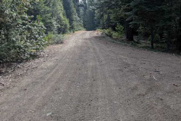
Copper Mine Road - FS 1N12
This single-lane gravel road begins from Bear Wallow Road - FS 1S14 and goes through to Post Mountain Road - FS 2N07. The route is open only to highway-legal vehicles. The road is mostly smooth, with some spots of erosion damage up to a foot deep. There were also some random loose rocks up to six in...
Learn more about Copper Mine Road - FS 1N12
Beginner ATV trails near Rio Dell, California
Explore ATV-friendly trails near you. These trails are accessible for vehicles up to 50 inches wide, perfect for ATVs and smaller off-road machines.
Grapevine Creek Road - FS 4N20
This mostly gravel road begins from Lower South Fork Road and ends where it meets Kerlin Creek Road - FS 3N14 at the Forest Service property boundary. The road is initially a generous single lane, but becomes narrower and natural surface for the last couple of miles. The first several miles of the r...
Learn more about Grapevine Creek Road - FS 4N20
FS 1S01
This long, well-maintained trail descends through the forest, then levels out and continues toward the end of the route. Some fallen trees remain along the road, but most have been cut and moved out of the travel path. A few larger logs still require vehicles to drive over them, but they are managea...
Learn more about FS 1S01
Crewcut Road - FS 4N04
This single-lane dirt road starts from Eltapom Road - FS 4N24 and connects through to Corral Bottom Road - FS 5N60. It goes through a mixed forest and open areas. The road has a few areas of erosion damage up to a foot deep, along with random loose rocks up to six inches in diameter. The road is too...
Learn more about Crewcut Road - FS 4N04
Swift Creek
This user-maintained, single-lane trail starts in relatively good condition but becomes increasingly obstructed by natural debris. The route starts with a significant downhill section before climbing back up, with numerous fallen and precariously positioned logs along the way. Following major storms...
Learn more about Swift Creek
Beginner UTV/side-by-side trails near Rio Dell, California
Find UTV and side-by-side trails near you. These trails accommodate vehicles up to 60 inches wide, ideal for UTVs, side-by-sides, and wider off-road rigs.
Grapevine Creek Road - FS 4N20
This mostly gravel road begins from Lower South Fork Road and ends where it meets Kerlin Creek Road - FS 3N14 at the Forest Service property boundary. The road is initially a generous single lane, but becomes narrower and natural surface for the last couple of miles. The first several miles of the r...
Learn more about Grapevine Creek Road - FS 4N20
FS 1S01
This long, well-maintained trail descends through the forest, then levels out and continues toward the end of the route. Some fallen trees remain along the road, but most have been cut and moved out of the travel path. A few larger logs still require vehicles to drive over them, but they are managea...
Learn more about FS 1S01
Crewcut Road - FS 4N04
This single-lane dirt road starts from Eltapom Road - FS 4N24 and connects through to Corral Bottom Road - FS 5N60. It goes through a mixed forest and open areas. The road has a few areas of erosion damage up to a foot deep, along with random loose rocks up to six inches in diameter. The road is too...
Learn more about Crewcut Road - FS 4N04
Swift Creek
This user-maintained, single-lane trail starts in relatively good condition but becomes increasingly obstructed by natural debris. The route starts with a significant downhill section before climbing back up, with numerous fallen and precariously positioned logs along the way. Following major storms...
Learn more about Swift Creek
The onX Offroad Difference
onX Offroad combines trail photos, descriptions, difficulty ratings, width restrictions, seasonality, and more in a user-friendly interface. Available on all devices, with offline access and full compatibility with CarPlay and Android Auto. Discover what you're missing today!
Open Trail Map