Trail Overview
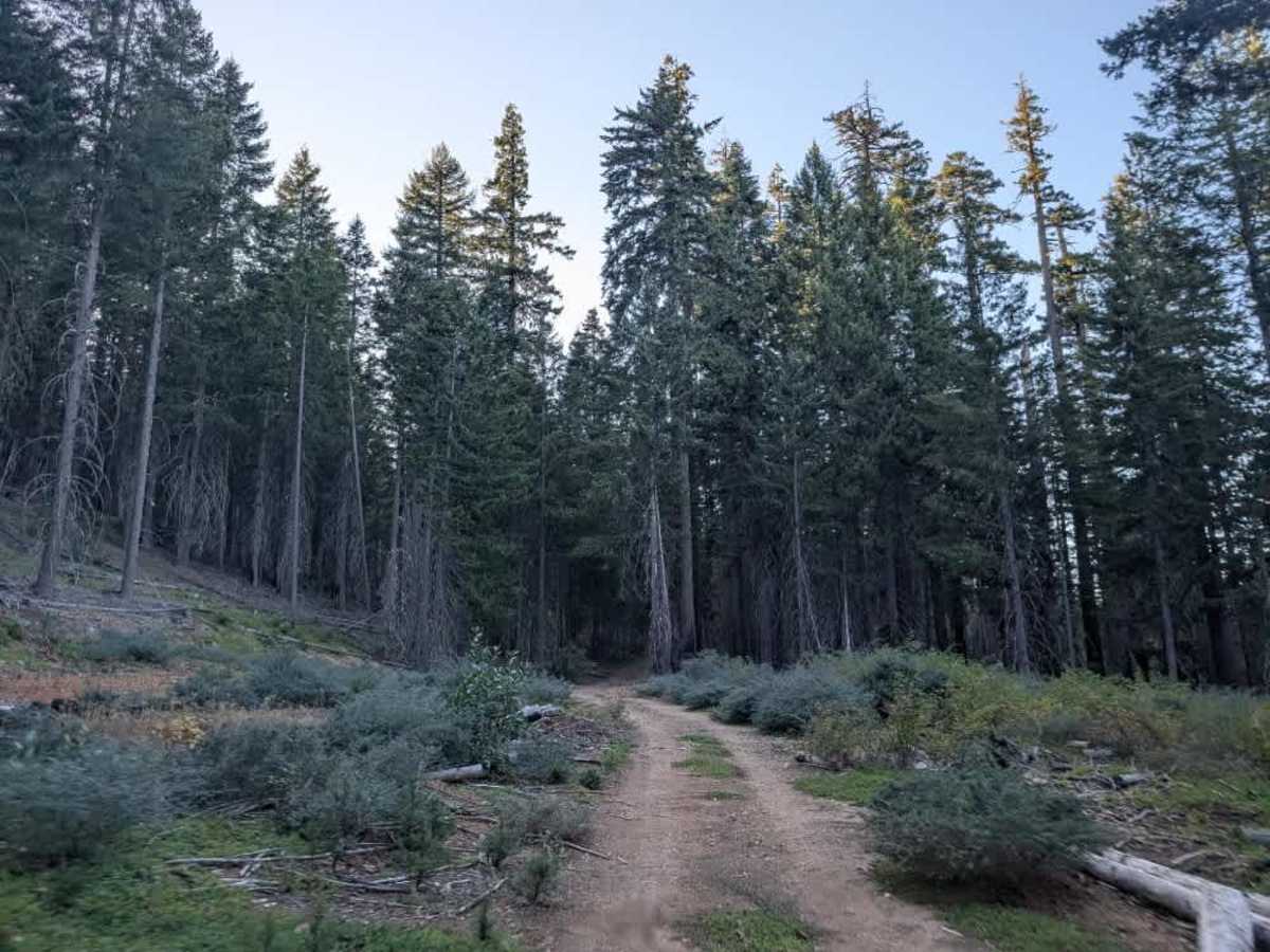
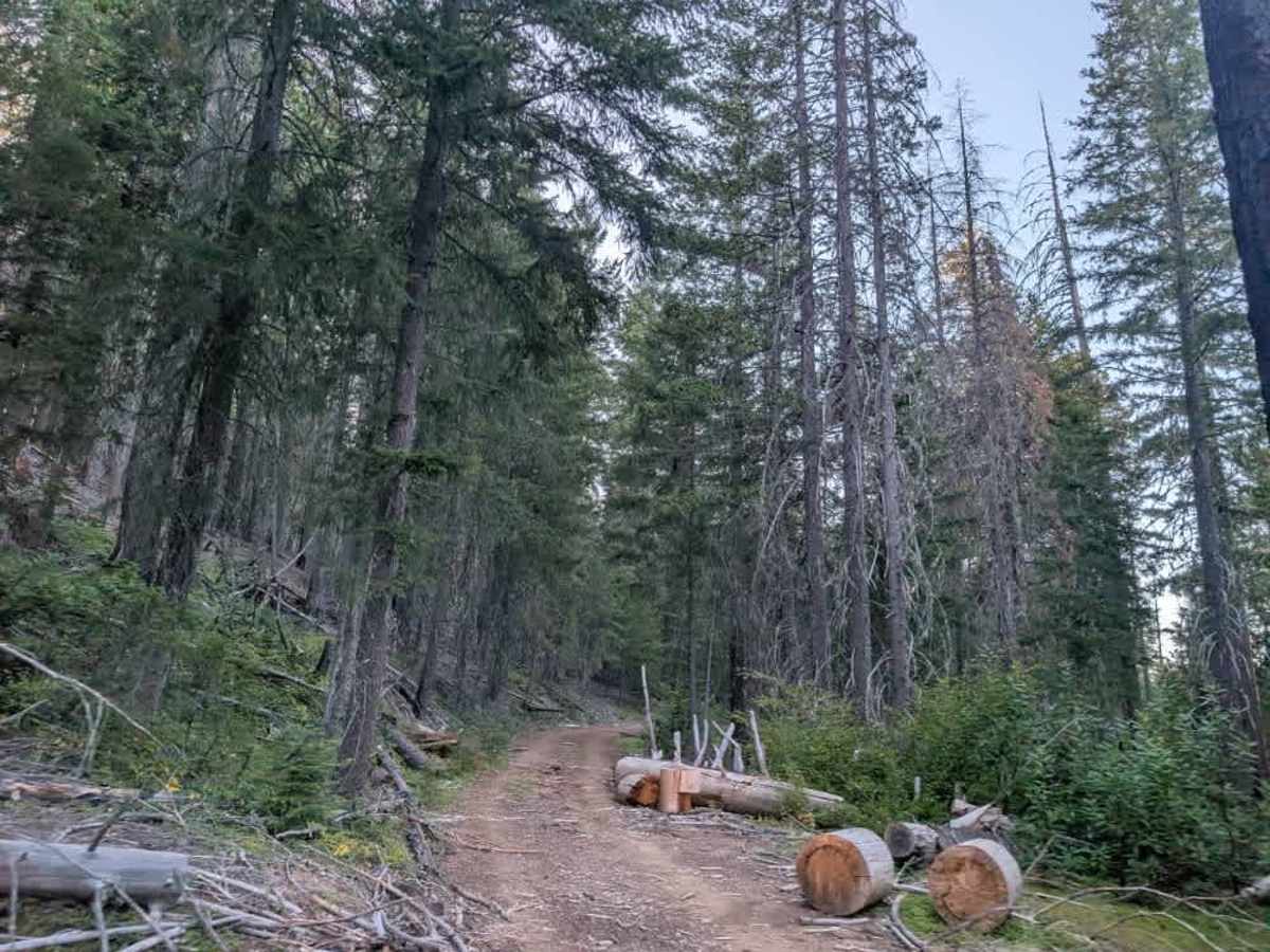
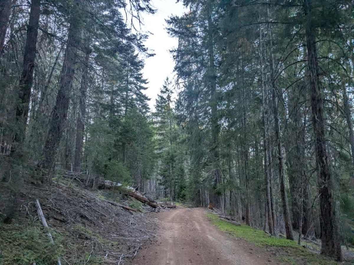
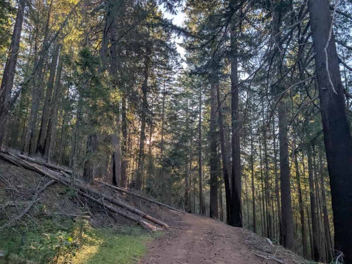
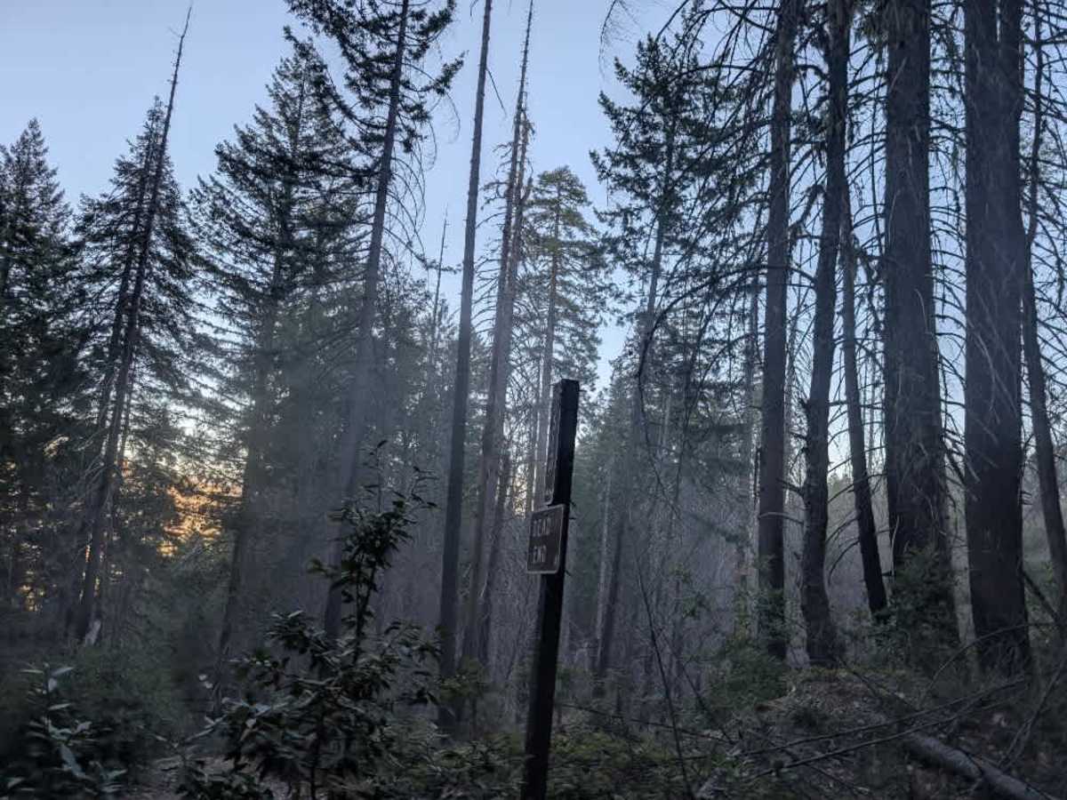
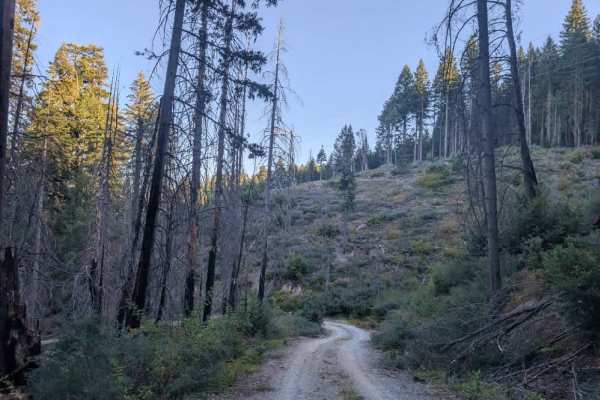
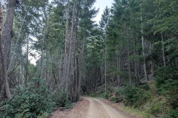
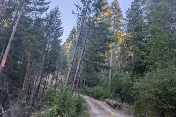
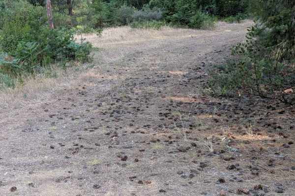
This well-maintained trail is a pleasant and enjoyable route through a beautiful, green forest. It climbs steeply at the beginning before leveling out, making for an easier, more relaxed ride farther along. The route passes through a more open forest before entering a denser section, then opens up again toward the end. Most of the trail is in good condition, although the final section becomes more cluttered with fallen trees, logs, and other natural debris. Much of the roadway has been cleared, but some trees may still need to be moved, depending on your vehicle’s width. Use caution around the remaining debris, and be prepared for additional clearing if conditions change. Hunters use this route, so drive carefully and watch for other vehicles. A sign at the beginning of the route explicitly states that the road is a dead end, so do not expect the trail to continue beyond the established endpoint. ATVs, UTVs, Side-by-Sides, and Dirt Bikes must always have a valid California ATV Operating Permit sticker.