Swift Creek

Total Miles2.7
Technical Rating
1Easy
Best TimeSpring, Summer, Fall
Trail TypeFull-Width Road
Accessible By
Open Trail Map

Trail Overview

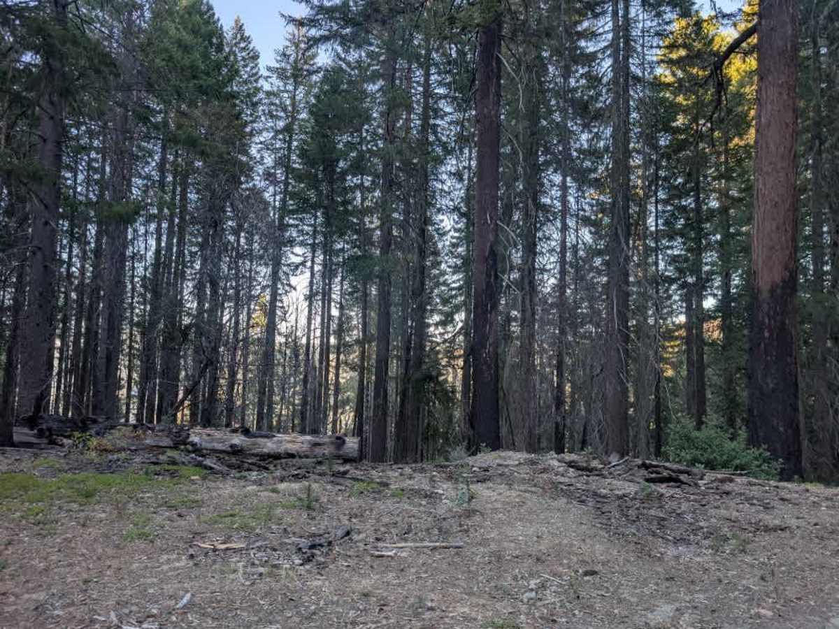
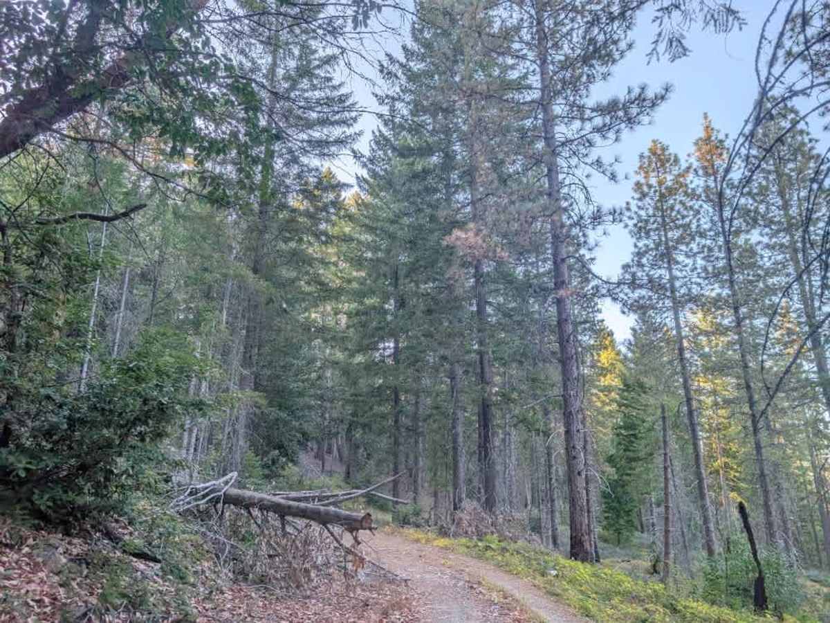
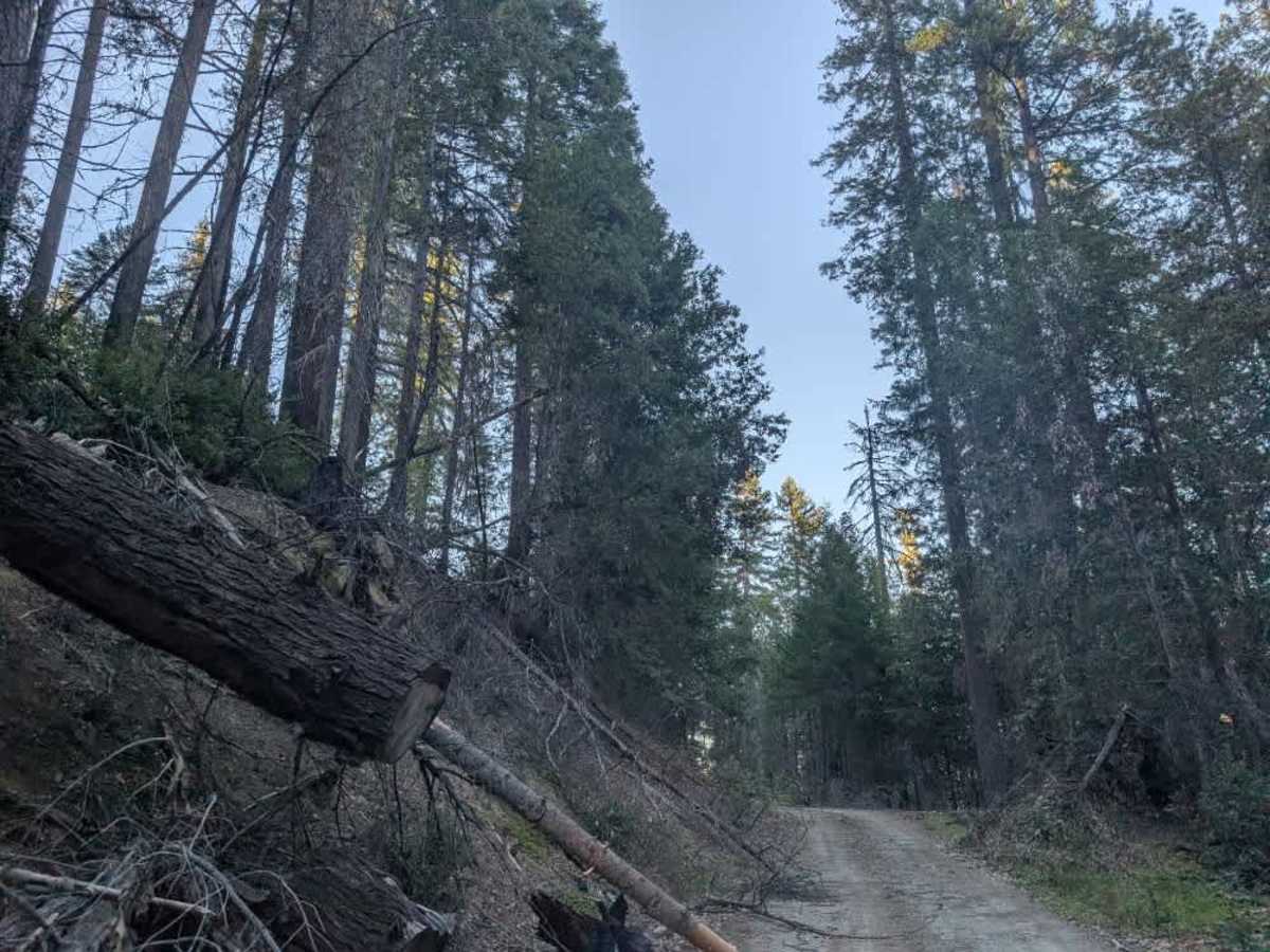
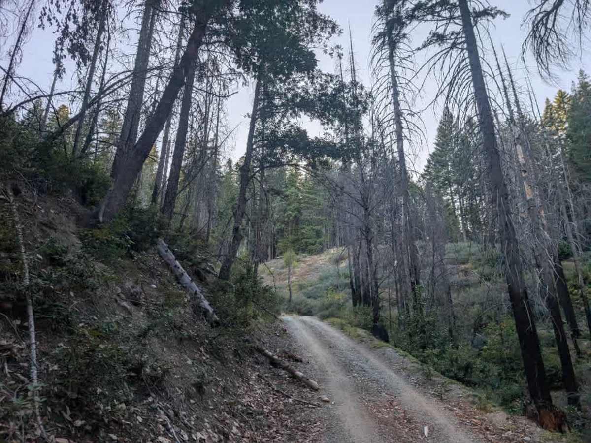
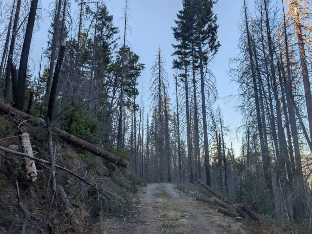
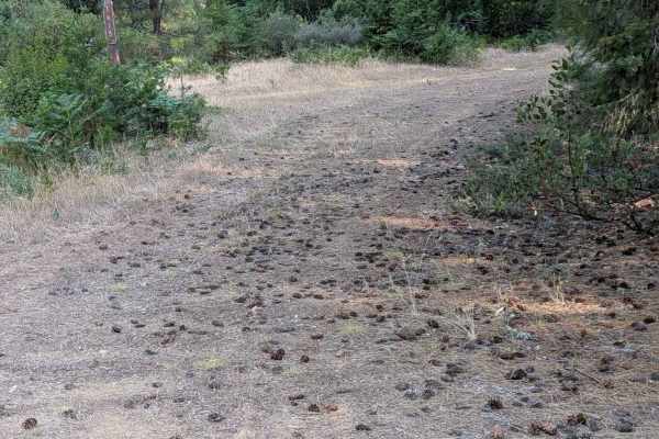
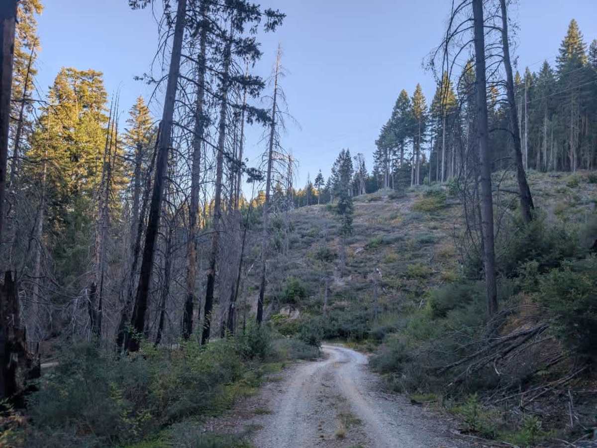
This user-maintained, single-lane trail starts in relatively good condition but becomes increasingly obstructed by natural debris. The route starts with a significant downhill section before climbing back up, with numerous fallen and precariously positioned logs along the way. Following major storms, conditions may require additional clearing, so be prepared for possible fallen trees and other debris on the roadway. Around two and a half miles in, the trail becomes noticeably narrower, with increasing debris along the route. Expect pinstriping as vegetation and fallen trees encroach on the travel path. The trail ends where indicated at a heavily obstructed section filled with fallen trees and debris. There is no suitable turnaround at the endpoint, so we recommend turning around before you reach the end. If you continue to the endpoint, you may need to back up about 200 feet to reach a spot where you can turn around. Hunters also use this area, so drive slowly and carefully, and watch for oncoming vehicles. ATVs, UTVs, Side-by-Sides, and Dirt Bikes must always have a valid California ATV Operating Permit sticker.

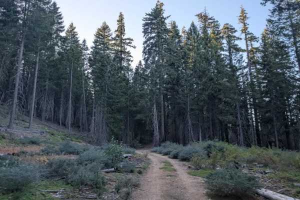
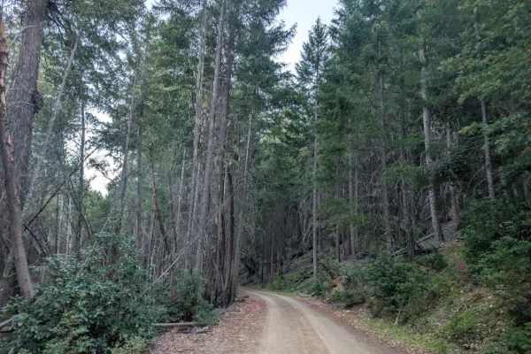
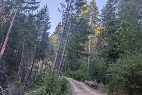
Photos of Swift Creek

Difficulty

The trail starts manageable but becomes more challenging as debris and vegetation increase.

Technical Rating

1

Swift Creek Trail can be accessed by the following ride types:

  • Single Track
  • 50 Inch
  • 60 Inch
  • High Clearance
  • Full Width

Swift Creek Map

The onX Offroad Difference

onX Offroad combines trail photos, descriptions, difficulty ratings, width restrictions, seasonality, and more in a user-friendly interface. Available on all devices, with offline access and full compatibility with CarPlay and Android Auto. Discover what you're missing today!

Open Trail Map