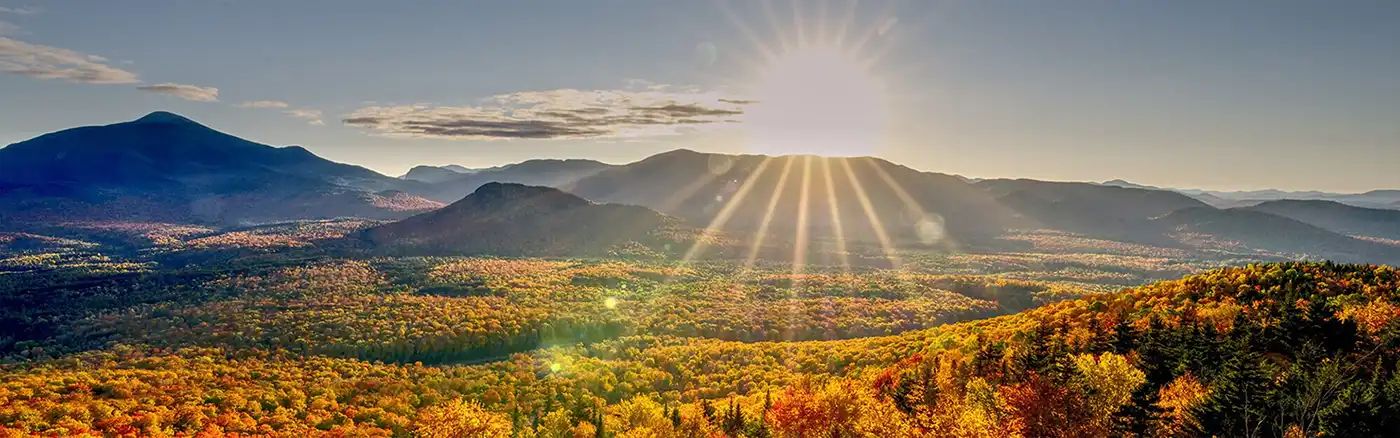
Beginner Off-Road Trails
Near Richmond, New Hampshire
Explore All Beginner Trails Near Richmond, New Hampshire
Beginner Off-Road Trails Near Richmond, New Hampshire
Discover the best beginner-friendly off-road trails near you. These easier, lower-rated trails are a great place to start — browse trail maps, check difficulty ratings, and find your next adventure.
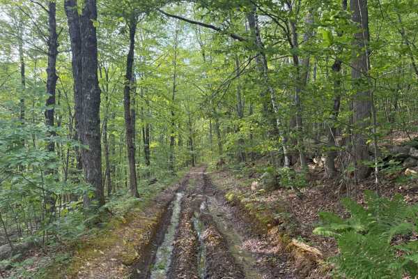
Brimstone Corner Road
This Class 6 road can be accessed from the north on Brimstone Corner Road (paved section), from the southeast on Old Antrim Road (Class 6), or from the southwest on Weston Road (Class 6). This fairly easy route and is a Class 6 winding road through NH's old-growth forest. The trail is a dirt road wi...
Learn more about Brimstone Corner Road
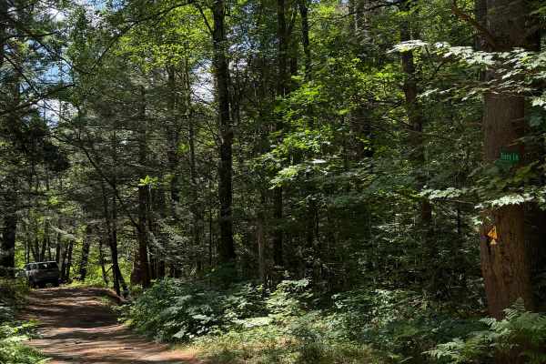
Tracy Lane
This is a short dirt road connecting Coldbrook Road to Brigham Road. From Brigham Road, Tracy Lane follows along the west bank of the Ware River's west branch. Looking southeast, you will have great views of the wetlands comprising the Ware River watershed. Coming out of the trees, there will be a p...
Learn more about Tracy Lane
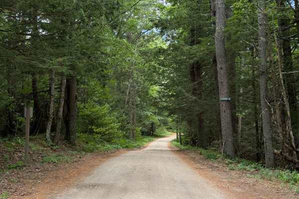
Coldbrook Road
Coldbrook Road offroad section begins just south of Barre Falls Dam at Parker Cemetery. Nearly the entire route is a gradual downhill grade. There are plenty of clearings along the route. The road is in great shape and, according to Department of Conservation and Recreation, is intended to be open y...
Learn more about Coldbrook Road
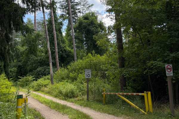
Crossover Road
Crossover Road or Gate 122-2 Road is a short spur connecting Coldbrook Springs with Pine Road. Gated on both ends with intermittent access. With dense forest on all sides, this trail is short but really encourages you to slow down and take in how diverse New England forests can be.
Learn more about Crossover Road
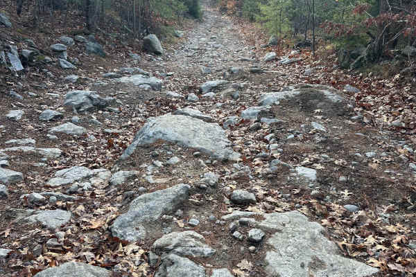
Hutchinson Hill
Hutchinson Hill is a class 6 road consisting of dirt, gravel, and some areas of large boulders. Both ends of the road consist mostly of flat areas of dirt and gravel with a hill section in the center. The hill section consists of large rocks, some sticking up as much as 12 to 16 inches, and will req...
Learn more about Hutchinson Hill
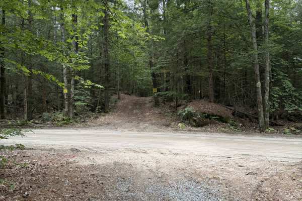
Homestead Road - West
The western Section of Homestead Road is a gentle ride through the woods on a shared route with snowmobile trails. The road is smooth and easygoing. No serious obstacles; some sections have loose rock and root networks.
The trail does end at a residential property. Property lines indicate that it ...
Learn more about Homestead Road - West
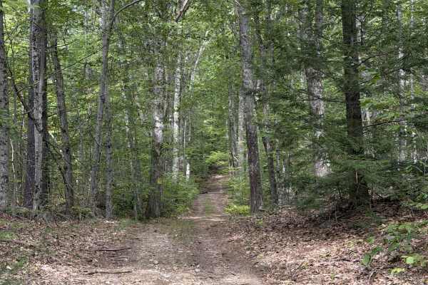
Old Francistown Road
Old Francistown Road is a smooth dirt road that begins at Bartlett Hill Road and makes its way towards the Piscataquog River, where it terminates. This Route follows old property lines, with old stone walls on your left and right for most of the route. There is a lot of deadfall on this trail, with ...
Learn more about Old Francistown Road
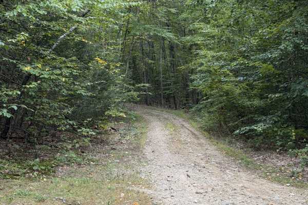
Marsh Ridge Road
Marsh Ridge Road is a short lollipop trail that comes off of Eden Page Road. About 0.4 miles in, the route splits and can be traveled in either direction, with both options looping back to this same point. We recommend staying left first, as this direction takes you up a short climb with loose rock.
Learn more about Marsh Ridge Road
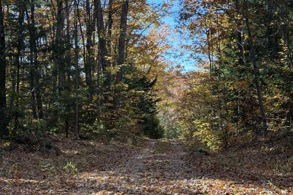
Tubbs Hill Road
This narrow trail features overgrown brush encroaching on the roadway, suggesting limited use. Several gates and side roads along the opening stretch lead into private property. From the clearing at the top of the hill, the trail descends into the woods, with old stone walls lining both sides. Appro...
Learn more about Tubbs Hill Road
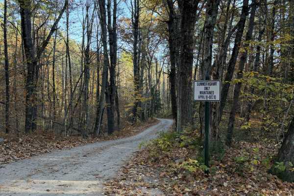
Clement Hill Road
This route is designated as a summer highway and is not maintained during the winter months. The road is very well graded and offers clear views of the surrounding forest. Both ends of the route provide access to Deering Wildlife Sanctuary. While the road is well maintained during warmer months, the...
Learn more about Clement Hill Road
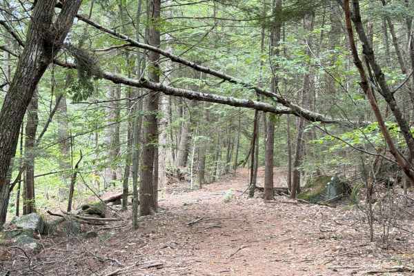
Sawyer Road
The entrance to Sawyer Road is very well hidden in some overgrowth off of Route 149. It is directly across from Cake Road. The route goes between two residential properties and climbs through some coniferous trees, whose needles and deadfall cover the trail. The trail veers right and continues towar...
Learn more about Sawyer Road
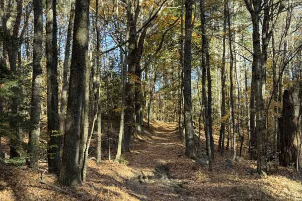
Lead Mine Road
This Class VI road climbs directly from North Road before making an immediate 90-degree turn. Stone walls line both sides of the trail, with a small ravine running along the right side. The route appears well-traveled, with visible tire tracks through matted leaves. The trail features a gradual desc...
Learn more about Lead Mine Road
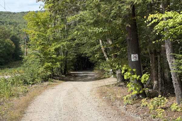
Mountain Road
Mountain Road is a smooth residential dirt road that winds its way through the power lines, crossing power line maintenance roads and meandering around several ponds in the area. The road is relatively well maintained, seeing as sections of it are shared with the power company. There are a few areas...
Learn more about Mountain Road
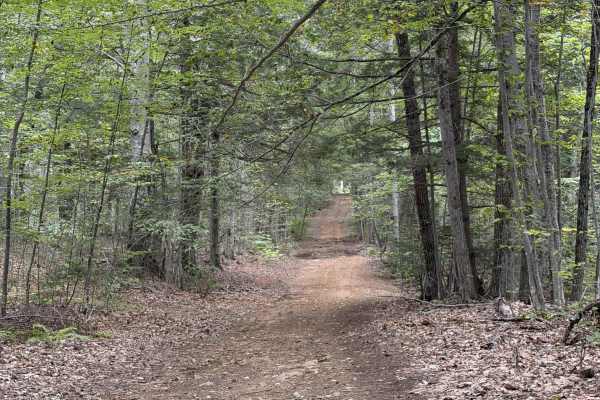
Jewett Road
Jewett Road is a short Class VI route that travels along the back side of residential properties. The route is fairly smooth with no noteworthy features other than some loose rock sections. This route continues south, ending at a neighborhood, and connects with Mountain Road and plenty of other trai...
Learn more about Jewett Road
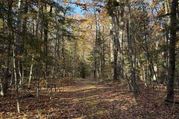
Mathews Road
This narrow Class VI road is a continuation of Lead Mine Road, heading north into Merrimack County. No old stone walls line the route, which features significant overgrowth and sections that become particularly narrow with low-hanging brush. The trail ends at private property and is not a through ro...
Learn more about Mathews Road
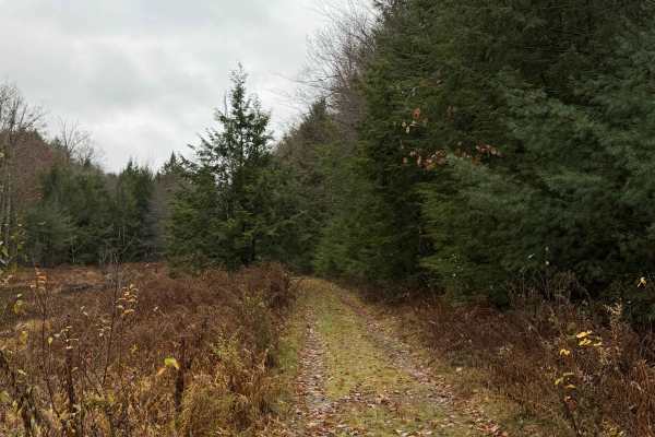
New Road
New Road is far from its namesake. Beginning as a shared driveway, the route continues straight into the woods, with wetlands on the left and hills on the right. One section crosses through wetlands and may flood after heavy rainfall. The trail is heavily overgrown in some areas, with several downed...
Learn more about New Road
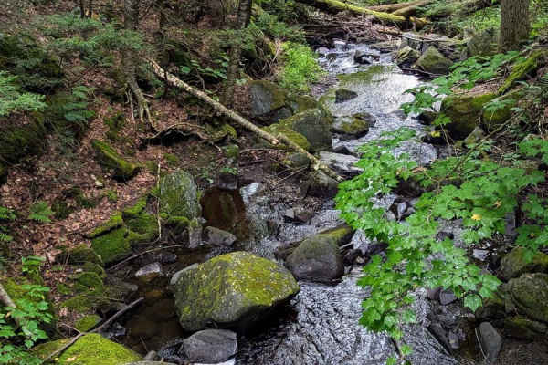
Middle Road
Middle Road is a well-maintained state forest road traversing the Kenneth Dubuque State Forest from South to North. Like the nearby Hallockville Road, this easy drive brings you through a young forest with a deep farming history. Multiple foundations can be spotted as you drive through mixed wood fo...
Learn more about Middle Road
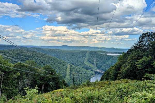
Monroe/ Raycroft Road
Low risk, high reward. This trail through Monroe State has it all: a wooded drive, fantastic views, and amazing waterfalls. The trail has two names because it is a town road that passes through two towns, with a different name in each town. The very northern end of the trail crosses Dunbar Brook whe...
Learn more about Monroe/ Raycroft Road
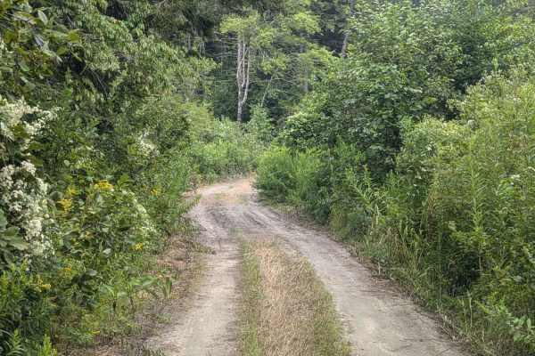
Hallockville Road
Hallockville Road is a well-maintained dirt road through the Kenneth Dubuque State Forest. History abounds as you drive through this dense, but young mixed-wood forest. Incredibly good condition stone fences dart in and out of trees and large glacial erratics (boulders). The area was acquired by the...
Learn more about Hallockville Road
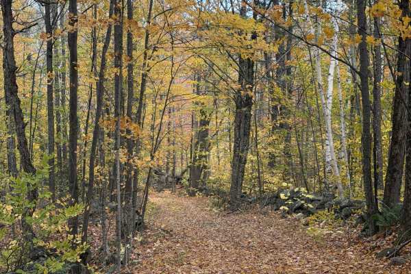
Smith Road
Smith Road is a Class VI road. In the winter, this route is part of NH Snowmobile Corridor 380. A very scenic descent follows a small ravine and creek that flows through it. The trail is fairly graded in most sections, even where it is steep. The trail descends 150 feet in the first 0.2 miles, rough...
Learn more about Smith Road
Beginner ATV trails near Richmond, New Hampshire
Explore ATV-friendly trails near you. These trails are accessible for vehicles up to 50 inches wide, perfect for ATVs and smaller off-road machines.
Brimstone Corner Road
This Class 6 road can be accessed from the north on Brimstone Corner Road (paved section), from the southeast on Old Antrim Road (Class 6), or from the southwest on Weston Road (Class 6). This fairly easy route and is a Class 6 winding road through NH's old-growth forest. The trail is a dirt road wi...
Learn more about Brimstone Corner Road
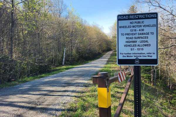
US FSR 74
This is a well-maintained gravel road flanked by forests and dispersed campsites on either side. There is a gate at the entrance which is closed from December 15th to May 1st. Camping is allowed at the dispersed campsites which include space for 1-2 cars and a fire ring but no bathrooms. There are n...
Learn more about US FSR 74
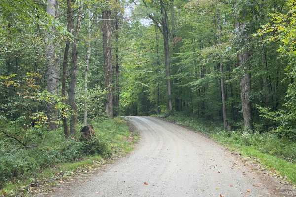
Klondike Road
Serving as a perfect connection point to other trails, this trail is an easy dirt road with limited obstacles. Overall, it's a well-graded forest road winding through mixed hardwoods. The trail is wide enough for comfortable passing, and grades are mild. There's potential for shallow standing water ...
Learn more about Klondike Road
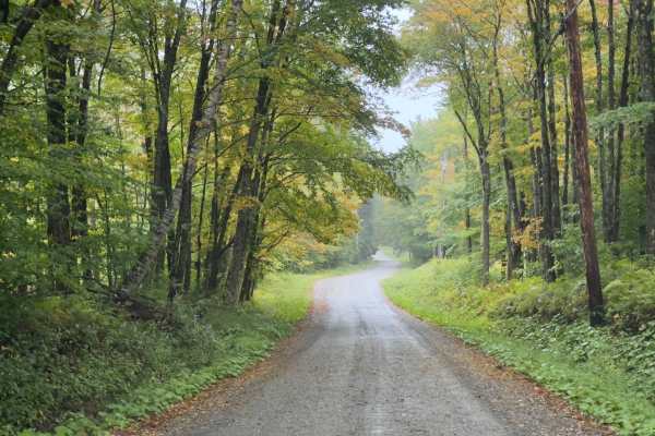
County Road Connection
Serving as a connection trail to County Road or the Klondike Trail, this trail is a simple, wide dirt road. Winding through the Vermont forest, you will be surrounded by a mix of hardwoods. It's a comfortable trail, with room to pass. If there's rain or wet ground, prepare to be muddy.
Learn more about County Road Connection
Beginner UTV/side-by-side trails near Richmond, New Hampshire
Find UTV and side-by-side trails near you. These trails accommodate vehicles up to 60 inches wide, ideal for UTVs, side-by-sides, and wider off-road rigs.
Brimstone Corner Road
This Class 6 road can be accessed from the north on Brimstone Corner Road (paved section), from the southeast on Old Antrim Road (Class 6), or from the southwest on Weston Road (Class 6). This fairly easy route and is a Class 6 winding road through NH's old-growth forest. The trail is a dirt road wi...
Learn more about Brimstone Corner Road
US FSR 74
This is a well-maintained gravel road flanked by forests and dispersed campsites on either side. There is a gate at the entrance which is closed from December 15th to May 1st. Camping is allowed at the dispersed campsites which include space for 1-2 cars and a fire ring but no bathrooms. There are n...
Learn more about US FSR 74
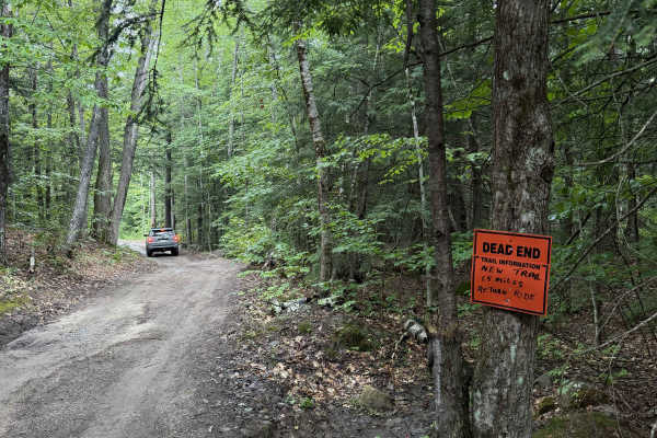
Dummer Road
New Hampshire Class VI road / multi-use trail. This dirt road includes several low areas that show signs of flooding after heavy rain. Use caution near wooden planks covering rusted culverts, as exposed metal may puncture tires. The route is shortened for off-highway vehicles, and signage at the end...
Learn more about Dummer Road
Klondike Road
Serving as a perfect connection point to other trails, this trail is an easy dirt road with limited obstacles. Overall, it's a well-graded forest road winding through mixed hardwoods. The trail is wide enough for comfortable passing, and grades are mild. There's potential for shallow standing water ...
Learn more about Klondike Road
The onX Offroad Difference
onX Offroad combines trail photos, descriptions, difficulty ratings, width restrictions, seasonality, and more in a user-friendly interface. Available on all devices, with offline access and full compatibility with CarPlay and Android Auto. Discover what you're missing today!
Open Trail Map