
Beginner Off-Road Trails
Near Reeltown, Alabama
Explore All Beginner Trails Near Reeltown, Alabama
Beginner Off-Road Trails Near Reeltown, Alabama
Discover the best beginner-friendly off-road trails near you. These easier, lower-rated trails are a great place to start — browse trail maps, check difficulty ratings, and find your next adventure.
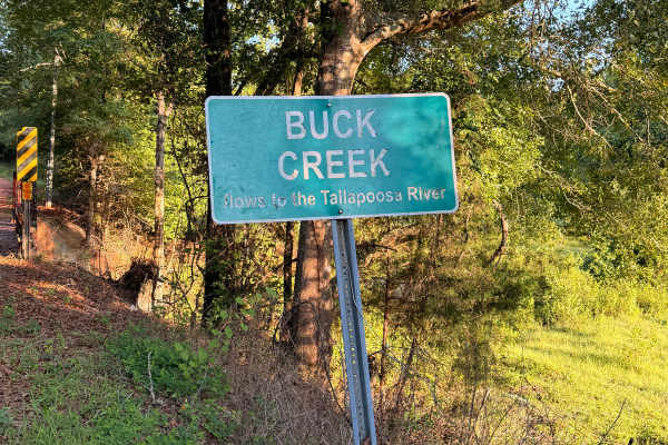
Buck Creek Road
Buck Creek Road is a short, easy backroad near Reeltown that travels through a quiet wooded area on a mix of red clay, dirt, and gravel. The route features rolling hills, minor erosion and ruts, and a single-lane wooden bridge crossing Buck Creek. Dispersed camping is available along the route, maki...
Learn more about Buck Creek Road
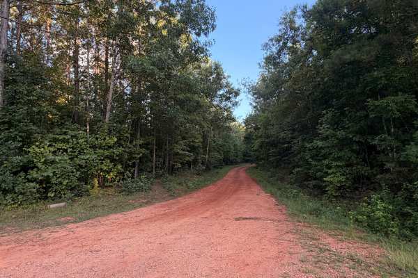
Turkey Trail
Turkey Trail is a dirt and red-clay backroad winding through the wooded countryside near Reeltown, Alabama. The route features rolling terrain, occasional ruts, small muddy sections, and a mix of hard-packed clay and gravel. Conditions are generally suitable for most vehicles when dry, although the ...
Learn more about Turkey Trail
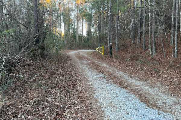
Lukes Loop
Lukes Loop is an easy, 4.3-mile off-road trail near Prattville, Alabama, offering a relaxing drive through a wildlife management area with opportunities to spot local fauna. Ideal for beginners, scenic cruisers, and stock four-wheel-drive vehicles, this route features an elevation gain of 144 feet, ...
Learn more about Lukes Loop
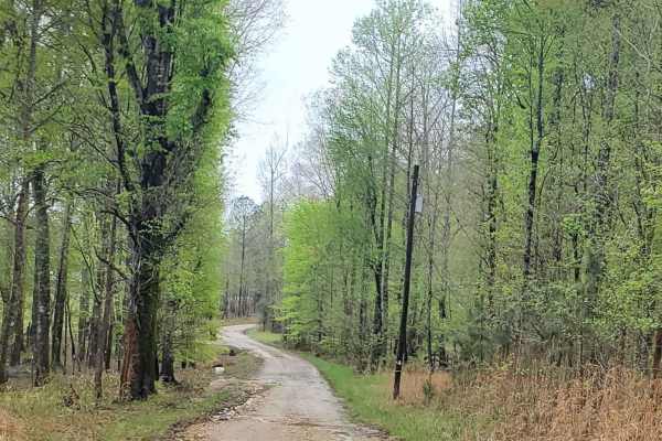
Davenport (687)
Davenport road (687) is a well-maintained road that crosses the southern portion of the Talladega National Forest. Throughout this route, you will encounter seasonal scenery as well as other roads that are available for exploring. Vehicles with lower clearance should not have any issues passing thro...
Learn more about Davenport (687)
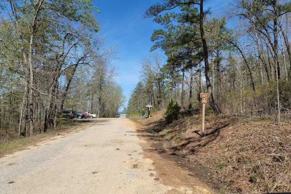
USFSR #607 Bulls Gap
USFSR #607 Bulls Gap Trail head is a popular trail for birdwatchers, bicyclist, hikers and other nature lovers. Be sure to exercise caution and share the road! This trail offers scenic views and easy riding. Creeks and streams flow abundantly from water rushing down Horn Mountain, which is located i...
Learn more about USFSR #607 Bulls Gap
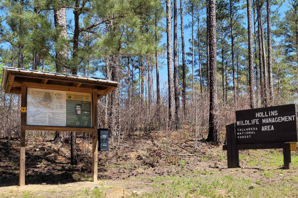
USFSR #616 Rocky Mount
USFSR #616 Rocky Mount is an easy, scenic 5.6-mile offroad route through the heart of the Hollins Wildlife Management Area, making it ideal for beginners, hunters, and campers seeking a tranquil forest retreat. Branching off from USFSR #607 Bulls Gap near Highway 148, this well-maintained dirt and g...
Learn more about USFSR #616 Rocky Mount
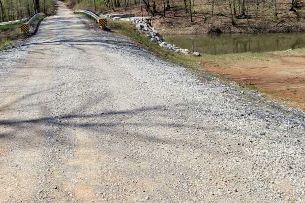
USFSR #601 Wiregrass
USFSR #601 Wiregrass begins at the South end on AL 148 just outside of Sylacauga. It is a winding gravel road with shallow mud holes scattered throughout from the various creeks that overflow onto the road, such as Tallaseehatchee Creek and Bulls Creek. It offers a few side trails that will take you...
Learn more about USFSR #601 Wiregrass
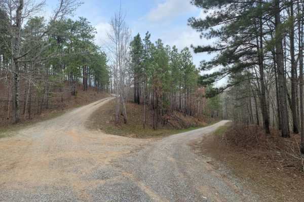
USFSR #637
Experience Alabama in one easy trail. USFSR #637 is a winding gravel road that passes through the foothills of Cheaha State Park with a plethora of creek crossings, all the while presenting you with the mountainside filled with a mixture of mature hardwoods and pines. This trail will also exemplify ...
Learn more about USFSR #637
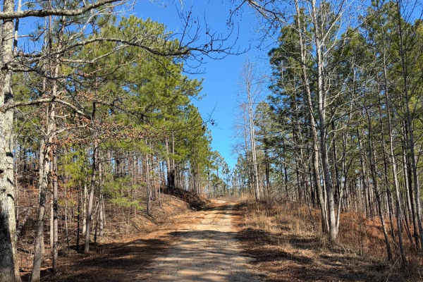
FS 637 K/M
This trail starts as a gravel road and quickly transitions to dirt, winding through pine trees and crossing several mud holes. There are a couple of rutted sections that can become slick when wet. The route ends at an old cemetery with graves dating back to the late 1800s and early 1900s.
Learn more about FS 637 K/M
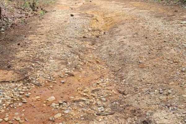
USFSR #645 Tree Farm
USFSR #5645 Tree Farm is a seasonal route of varying degrees. It changes from a standard gravel road to a silt-like swamp, back to a gravel road, then back to mountainous terrain. This beautiful trail offers views of a diverse Alabama forest. There are a few mud holes with soft bottoms, which can be...
Learn more about USFSR #645 Tree Farm
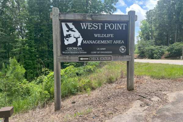
Whitley Road
Located just north of LaGrange, Georgia, in Troup County, this road serves as one of the western entrances to the West Point Wildlife Management Area (WMA), situated on the west side of West Point Lake. This is an out-and-back road, meaning you'll need to turn around and exit the way you came in. Th...
Learn more about Whitley Road
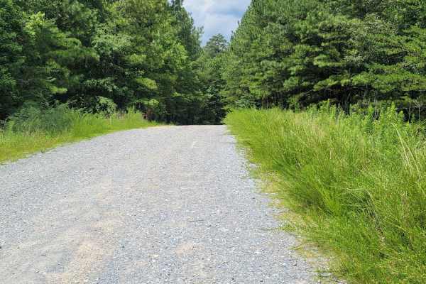
USFSR #600-3 Old Skyway
USFSR #600-3 Old Skyway is where everything is tied together. This short trail, while flat and easy, is riddled with potholes. This trail could see any type of vehicle from mountain bikes to class A campers, so be on the lookout for other people. It is seasonally maintained so more gravel is brought...
Learn more about USFSR #600-3 Old Skyway
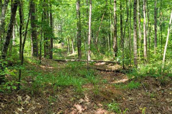
USFSR #645C Three Mile Branch
USFSR #645C Three Mile Branch is more of a side spur trail that starts at USFSR #645 Tree Farm. While a shorter trail it does take a little longer to complete due to the overgrowth and how tight the trail is. There are a few off camber spots where water run off has created a rut that most full size ...
Learn more about USFSR #645C Three Mile Branch

Duck Nest Motorway - FS 651
Good mix of gravel and dirt. There are several beautiful creeks to pass over with one-lane bridges along the route. A few mud holes are possible if it is wet. Some washboarding on the road towards the north side of the road. The dispersed camping labeled on OnX is not a great campsite, but it could ...
Learn more about Duck Nest Motorway - FS 651
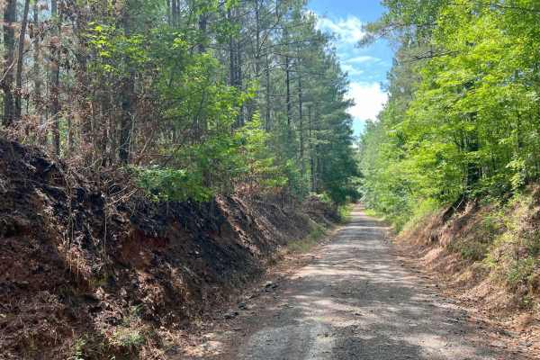
Pike Road
Located near Franklin, Georgia, in Heard County, this .6 miles of rural, county-maintained road serves as one of the entrances to the West Point Wildlife Management Area (WMA), which continues for 3.2 additional miles. Though publicly accessible, it is not a priority for resurfacing and can become c...
Learn more about Pike Road
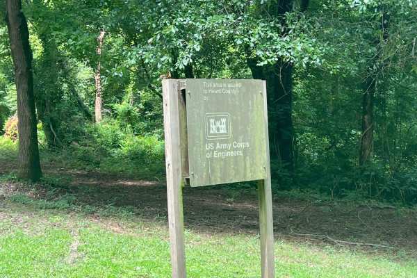
South River Road
Located near Franklin, Georgia, in Heard County, this road is part of the West Point Wildlife Management Area (WMA). It is primarily a single-lane dirt road with minor washouts and optional muddy or water-filled sections, suitable for higher-clearance vehicles or off-road exploration. Roughly 300 ya...
Learn more about South River Road
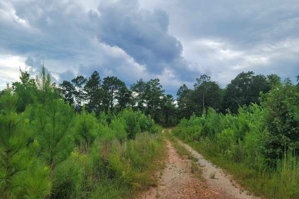
USFSR #512A
USFSR #512A is a seasonally open trail that gives the right of way to private hunting land in the first section. USFSR #51A begins off USFSR #512 and rides along North Shinbone Ridge, just outside the small community of Shinbone Valley. This trail is part of a seasonal payment unit that is often cle...
Learn more about USFSR #512A

Foothill's Cutover
Foothill's Cutover is a side trail that spurs off of USFSR #512A. It is not accessible from the opposite end, as it dead-ends at private property. It is a dense section of the Talladega National Forest that isn't traveled enough to receive a dedicated trail name on the Motor Vehicle Use Map but is c...
Learn more about Foothill's Cutover
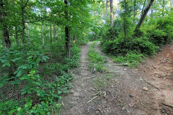
The Breeze
The Breeze is an easy-access trail that starts on Booze Cruise and ends at the deep dog leg turn at the top of Loop Springs. This trail is literally a breeze, as it is a straight, flat shot that has no obstacles, has a large turn-around spot at the top, and gives an easy exit from Rock and Roll and ...
Learn more about The Breeze
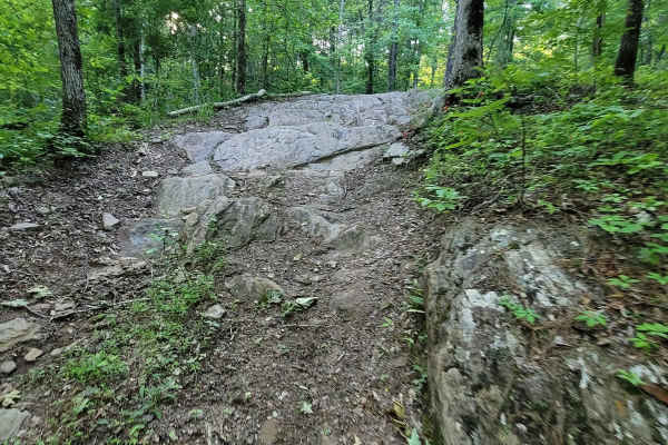
Crow's Nest Bypass
Crow's Nest Bypass is the trail for those who want to take a stock 4WD vehicle with some friends who are on built rigs, but still want to have some fun without having to backtrack around Tow Strap. This trail is very similar in design to Stairway to Heflin, but much more mild. It still features a st...
Learn more about Crow's Nest Bypass
Beginner ATV trails near Reeltown, Alabama
Explore ATV-friendly trails near you. These trails are accessible for vehicles up to 50 inches wide, perfect for ATVs and smaller off-road machines.
Buck Creek Road
Buck Creek Road is a short, easy backroad near Reeltown that travels through a quiet wooded area on a mix of red clay, dirt, and gravel. The route features rolling hills, minor erosion and ruts, and a single-lane wooden bridge crossing Buck Creek. Dispersed camping is available along the route, maki...
Learn more about Buck Creek Road
Turkey Trail
Turkey Trail is a dirt and red-clay backroad winding through the wooded countryside near Reeltown, Alabama. The route features rolling terrain, occasional ruts, small muddy sections, and a mix of hard-packed clay and gravel. Conditions are generally suitable for most vehicles when dry, although the ...
Learn more about Turkey Trail
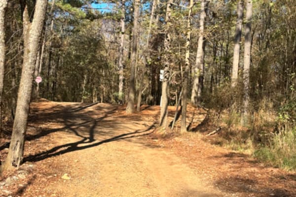
Trailhead from Campground
This is a trailhead leading from the campground to the main park. It is to help keep the offroad vehicle traffic away from the front office. It is a very short route that also has a bathroom located on the trail, and brings you out to the main grid to start trailing.
Learn more about Trailhead from Campground
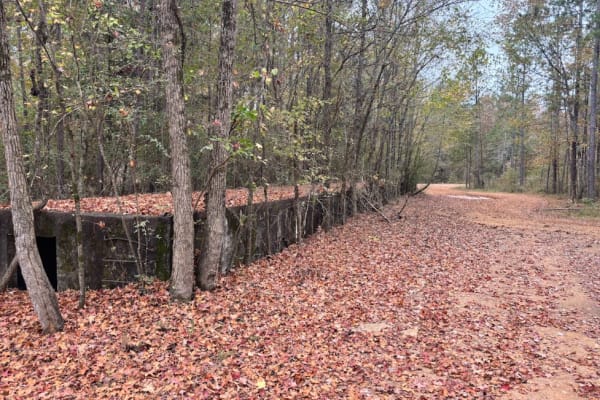
Old Railroad Bed
This trail is an old railroad bed from when the park was a military base. This railroad was used for years delivering and shipping goods to the base. There are four old loading docks along the route, as well as some original rails at some intersections. This is a fun trail to take you around the ver...
Learn more about Old Railroad Bed
Beginner UTV/side-by-side trails near Reeltown, Alabama
Find UTV and side-by-side trails near you. These trails accommodate vehicles up to 60 inches wide, ideal for UTVs, side-by-sides, and wider off-road rigs.
Buck Creek Road
Buck Creek Road is a short, easy backroad near Reeltown that travels through a quiet wooded area on a mix of red clay, dirt, and gravel. The route features rolling hills, minor erosion and ruts, and a single-lane wooden bridge crossing Buck Creek. Dispersed camping is available along the route, maki...
Learn more about Buck Creek Road
Turkey Trail
Turkey Trail is a dirt and red-clay backroad winding through the wooded countryside near Reeltown, Alabama. The route features rolling terrain, occasional ruts, small muddy sections, and a mix of hard-packed clay and gravel. Conditions are generally suitable for most vehicles when dry, although the ...
Learn more about Turkey Trail
The Breeze
The Breeze is an easy-access trail that starts on Booze Cruise and ends at the deep dog leg turn at the top of Loop Springs. This trail is literally a breeze, as it is a straight, flat shot that has no obstacles, has a large turn-around spot at the top, and gives an easy exit from Rock and Roll and ...
Learn more about The Breeze
Crow's Nest Bypass
Crow's Nest Bypass is the trail for those who want to take a stock 4WD vehicle with some friends who are on built rigs, but still want to have some fun without having to backtrack around Tow Strap. This trail is very similar in design to Stairway to Heflin, but much more mild. It still features a st...
Learn more about Crow's Nest Bypass
The onX Offroad Difference
onX Offroad combines trail photos, descriptions, difficulty ratings, width restrictions, seasonality, and more in a user-friendly interface. Available on all devices, with offline access and full compatibility with CarPlay and Android Auto. Discover what you're missing today!
Open Trail Map