
Beginner Off-Road Trails
Near Redlands, Colorado
Explore All Beginner Trails Near Redlands, Colorado
Beginner Off-Road Trails Near Redlands, Colorado
Discover the best beginner-friendly off-road trails near you. These easier, lower-rated trails are a great place to start — browse trail maps, check difficulty ratings, and find your next adventure.
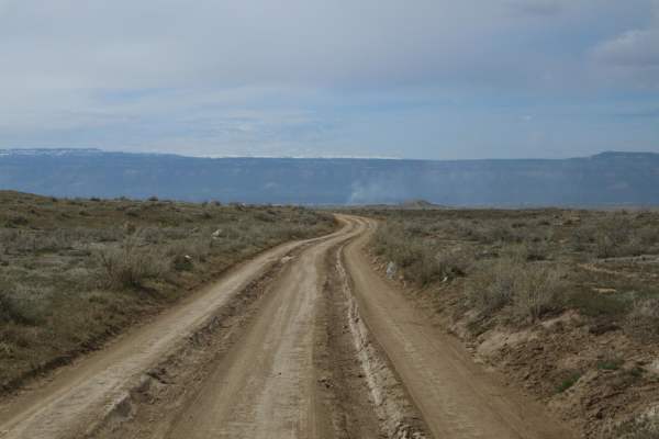
Mesa County Road 25
A good resource for dispersed camping in the Grand Junction Area. There is a vast network of offshoots and alternate routes in this BLM area. Monitoring weather conditions prior to arrival is recommended. Use previously disturbed areas only. Pack out what you pack in. High clearance is recommended t...
Learn more about Mesa County Road 25
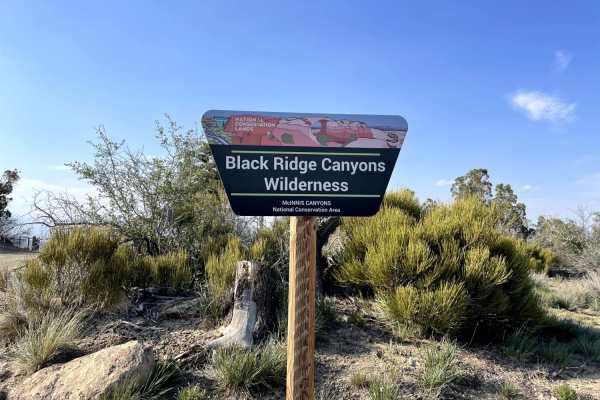
Rattle Snake Canyon
Fairly easy trail, the majority of the trail is dirt. There is one section of the trail that is gravel but then turns back into dirt. The trail is on the backside of the Colorado National Monument. During the trail, you will encounter some ruts caused by vehicles when the trail has been wet. The rut...
Learn more about Rattle Snake Canyon
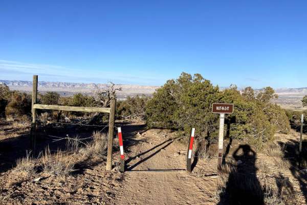
Nut-N-2-It
This is a fun 50-inch trail that is a key connector to other trails in the area. The trail lacks any notable technical features but does have some loose rock and some sand in spots, especially when you drop into a wash on the north side. The trail also features some cool sections of red sand and roc...
Learn more about Nut-N-2-It
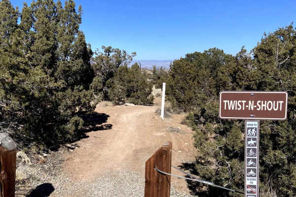
Twist-N-Shout
Flowy 50-inch trail that provides access to a lot of the areas single track. Trail is fast and a lot of fun with only minor technical features and no particularly steep grades. Has some nice turns and a lot of sand, when ridden West to East it would be downhill but it's fun to ride fast in either di...
Learn more about Twist-N-Shout
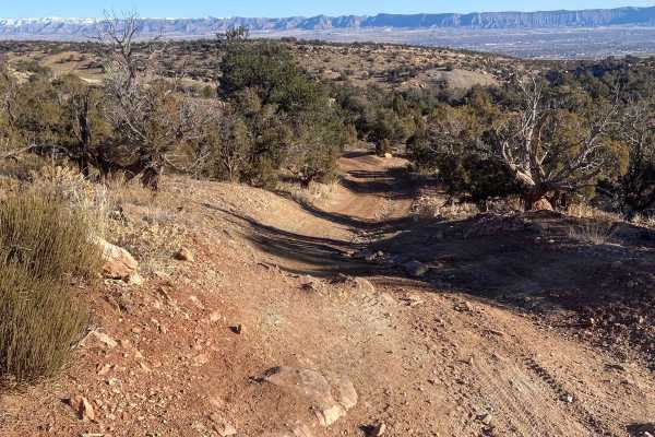
Billings Canyon Road
Billings Canyon Road serves as an excellent, scenic connector for four-wheel-drive vehicles, SxSs, and dirt bikes looking to link up the expansive Third Flats and Bangs Canyon trail systems. Spanning approximately 2.6 miles, this trail offers moderate elevation changes ranging from 5,618 feet to 6,1...
Learn more about Billings Canyon Road
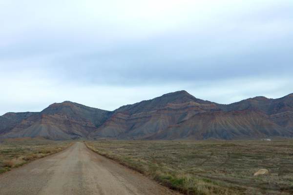
Mesa County Road 27 1/4
A great route for OHV and dispersed camping access in the Grand Junction area. Mostly loose gravel, though the later portion of the trail gets slightly more demanding with larger rocks, ruts, and washes. The road Y's approximately 3.7 miles in, stay left to continue this route;the Right will lead yo...
Learn more about Mesa County Road 27 1/4
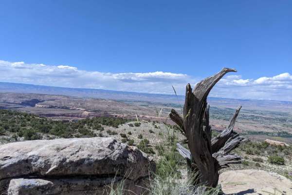
Rattlesnake Arches Jeep Trail
This is a mostly easy two-wheel drive dirt and gravel road. The last few miles do require a high clearance vehicle. This route is an out and back through BLM lands with lots of Pinyon and Juniper trees, open sagebrush parks, and views of beautiful red sandstone cliffs and canyons off in the distance...
Learn more about Rattlesnake Arches Jeep Trail
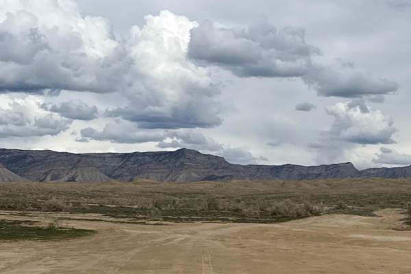
Banana Split
If you're out for a Sunday drive, consider checking out Banana Split. It's a fun, easy, 4x4 trail with minimal technical difficulties. You will encounter ruts, hills, berms, and split-offs; But the view of the Booktrees is stunning! Opportunity for Single track, ATV, SXS, and full-size vehicles to a...
Learn more about Banana Split
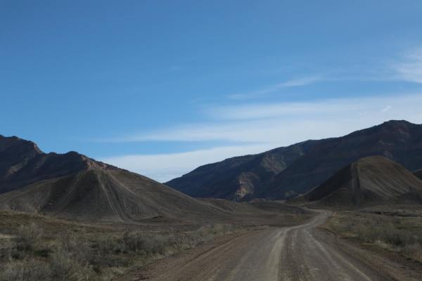
21 Road South
21 Road South is a route providing further access to dispersed camping and OHV opportunities on BLM lands in the Fruita/Grand Junction area. The road is paved for little ways once on public lands before turning to a mostly flat, gravel road for approximately four miles. At mile four, the road vastly...
Learn more about 21 Road South
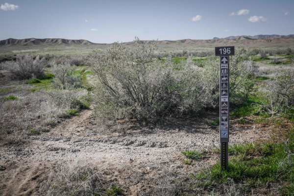
BLM Route 196
BLM Route 196 is a fast single track in the North Fruita Desert trail system north of Fruita, Colorado. The east end of the trail starts at the back of a public utility plant on a Jeep road right at the corner of the fence, that is easy to miss. The single track departs from the Jeep road right away...
Learn more about BLM Route 196
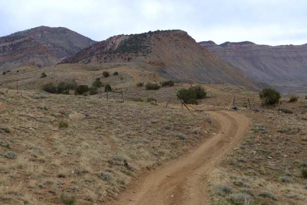
25 and 27 1/4 Connector
This is a good option for connecting Mesa County Roads 25 and 27 1/4 as opposed to backtracking entirely to town. There are other routes in the vicinity to explore, though most either dead end or simply disappear in the cliffs. This is route is mostly easy, flat dirt road, with only a few instances ...
Learn more about 25 and 27 1/4 Connector
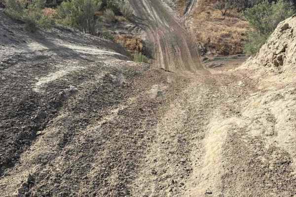
BLM 182
The overall environment of Bureau of Land Management 182 features a stunning, expansive desert landscape that offers truly unique, sweeping views of the majestic Colorado National Monument to the south and the jagged Book Cliffs to the north. Beginning just off Bureau of Land Management 177, this hi...
Learn more about BLM 182
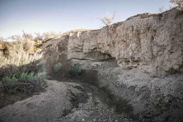
BLM Route 187A
BLM Route 187A is a short and fun single track through an adobe arroyo in the North Fruita desert that spurs off of BLM Route 187 (Branch Wash), which is another ditch trail. The 187A spur is tighter and more overgrown than the 187 trail. When going east, it spurs off of 187 when the arroyo splits a...
Learn more about BLM Route 187A
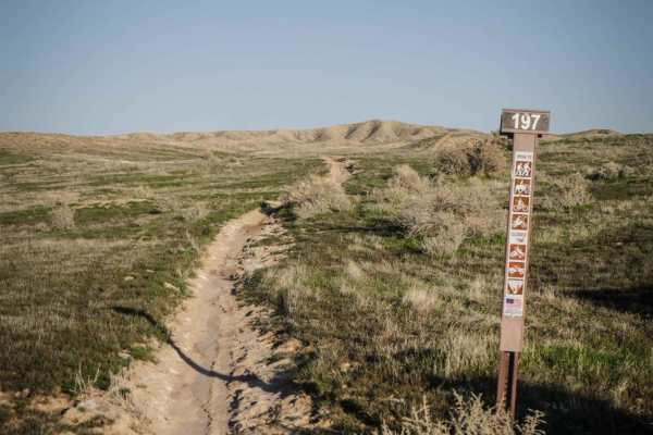
BLM Route 197
This single track is similar to many of the other single tracks in the lower part of the North Fruita Desert, as it is a smooth and narrow single track that flows over the rolling hills in this valley. It's pretty straight, fast, and flowy over green grass meadows, with barely any rocks in the trail...
Learn more about BLM Route 197
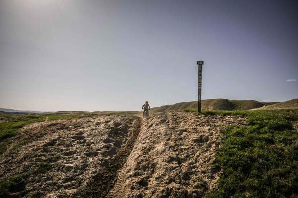
BLM Route 186
BLM Route 186 is a fast and easy single track that flows across green meadows and valleys in the lower section of the north Fruita desert. It starts in a green grassy meadow on a narrow track that in springtime, will likely have some mud. It looks like the cows use this trail too, as there are lots ...
Learn more about BLM Route 186
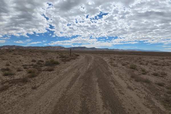
BLM 179
The BLM 179 trail offers a highly engaging and dynamic drive through a sprawling, heavily recreated desert landscape. The adventure kicks off directly from the paved section of 18 Road, opening into a wide, sandy parking area that comfortably accommodates 10 to 20 vehicles. This staging lot serves a...
Learn more about BLM 179
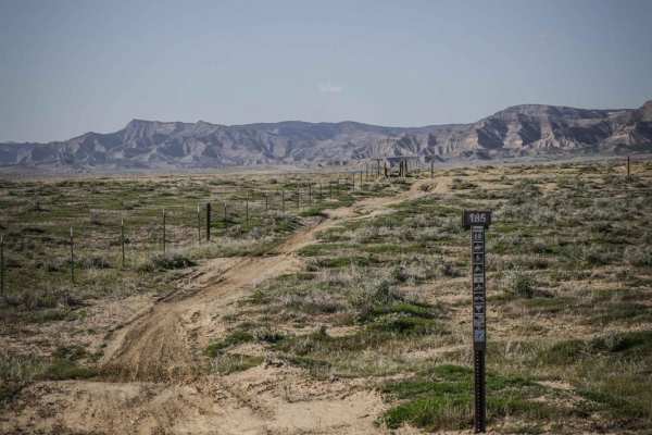
BLM Route 185
BLM Route 185 is a seldom-ridden dirt bike trail in the North Fruita Desert that goes through an overgrown adobe ditch on a very faint track. The trailhead on the south end has a trail marker sign and pinch point and starts going through grassy meadows on a narrow dirt single track. To follow this G...
Learn more about BLM Route 185
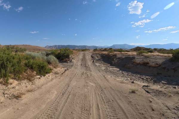
Lower Q 5/10 Road
Embark on the incredibly scenic and highly popular first half of Q 5/10 Road, a 3.7-mile dirt trail situated on beautiful BLM land just minutes north of downtown Fruita in the vibrant North Desert (18 Road) area. Starting from a spacious parking area, the route immediately introduces you to recently...
Learn more about Lower Q 5/10 Road
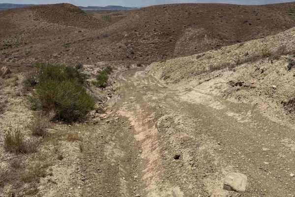
County Road 2/10
Embark on the breathtaking and highly versatile CR 2/10, a dynamic 3.9-mile connector trail that seamlessly links maintained county roads to the expansive, rugged BLM backcountry. The adventure begins directly off County Road 21, featuring a generous, sprawling parking area easily capable of accommo...
Learn more about County Road 2/10
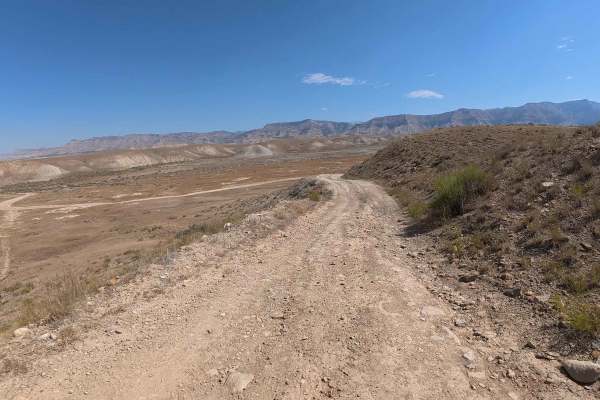
BLM 194
This exceptionally approachable and scenic trail earns an easy-to-moderate Level 2 rating due to its predominantly smooth and well-maintained surface. Drivers will encounter only light, highly manageable ruts ranging from 4 to 6 inches and very mild off-camber sections measuring between 5 and 8 degr...
Learn more about BLM 194
Beginner ATV trails near Redlands, Colorado
Explore ATV-friendly trails near you. These trails are accessible for vehicles up to 50 inches wide, perfect for ATVs and smaller off-road machines.
Mesa County Road 25
A good resource for dispersed camping in the Grand Junction Area. There is a vast network of offshoots and alternate routes in this BLM area. Monitoring weather conditions prior to arrival is recommended. Use previously disturbed areas only. Pack out what you pack in. High clearance is recommended t...
Learn more about Mesa County Road 25
Rattle Snake Canyon
Fairly easy trail, the majority of the trail is dirt. There is one section of the trail that is gravel but then turns back into dirt. The trail is on the backside of the Colorado National Monument. During the trail, you will encounter some ruts caused by vehicles when the trail has been wet. The rut...
Learn more about Rattle Snake Canyon
Nut-N-2-It
This is a fun 50-inch trail that is a key connector to other trails in the area. The trail lacks any notable technical features but does have some loose rock and some sand in spots, especially when you drop into a wash on the north side. The trail also features some cool sections of red sand and roc...
Learn more about Nut-N-2-It
Twist-N-Shout
Flowy 50-inch trail that provides access to a lot of the areas single track. Trail is fast and a lot of fun with only minor technical features and no particularly steep grades. Has some nice turns and a lot of sand, when ridden West to East it would be downhill but it's fun to ride fast in either di...
Learn more about Twist-N-Shout
Beginner UTV/side-by-side trails near Redlands, Colorado
Find UTV and side-by-side trails near you. These trails accommodate vehicles up to 60 inches wide, ideal for UTVs, side-by-sides, and wider off-road rigs.
Mesa County Road 25
A good resource for dispersed camping in the Grand Junction Area. There is a vast network of offshoots and alternate routes in this BLM area. Monitoring weather conditions prior to arrival is recommended. Use previously disturbed areas only. Pack out what you pack in. High clearance is recommended t...
Learn more about Mesa County Road 25
Rattle Snake Canyon
Fairly easy trail, the majority of the trail is dirt. There is one section of the trail that is gravel but then turns back into dirt. The trail is on the backside of the Colorado National Monument. During the trail, you will encounter some ruts caused by vehicles when the trail has been wet. The rut...
Learn more about Rattle Snake Canyon
Billings Canyon Road
Billings Canyon Road serves as an excellent, scenic connector for four-wheel-drive vehicles, SxSs, and dirt bikes looking to link up the expansive Third Flats and Bangs Canyon trail systems. Spanning approximately 2.6 miles, this trail offers moderate elevation changes ranging from 5,618 feet to 6,1...
Learn more about Billings Canyon Road
Mesa County Road 27 1/4
A great route for OHV and dispersed camping access in the Grand Junction area. Mostly loose gravel, though the later portion of the trail gets slightly more demanding with larger rocks, ruts, and washes. The road Y's approximately 3.7 miles in, stay left to continue this route;the Right will lead yo...
Learn more about Mesa County Road 27 1/4
The onX Offroad Difference
onX Offroad combines trail photos, descriptions, difficulty ratings, width restrictions, seasonality, and more in a user-friendly interface. Available on all devices, with offline access and full compatibility with CarPlay and Android Auto. Discover what you're missing today!
Open Trail Map