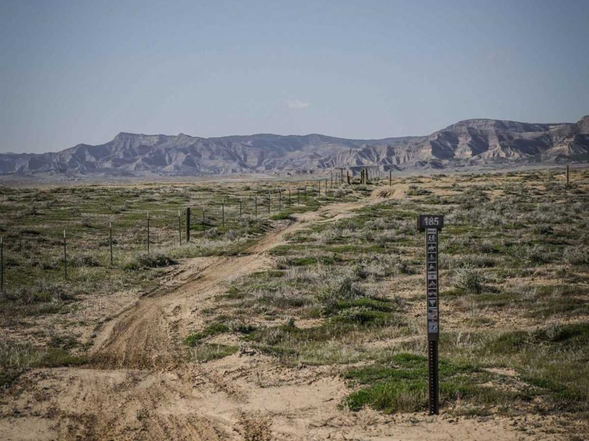
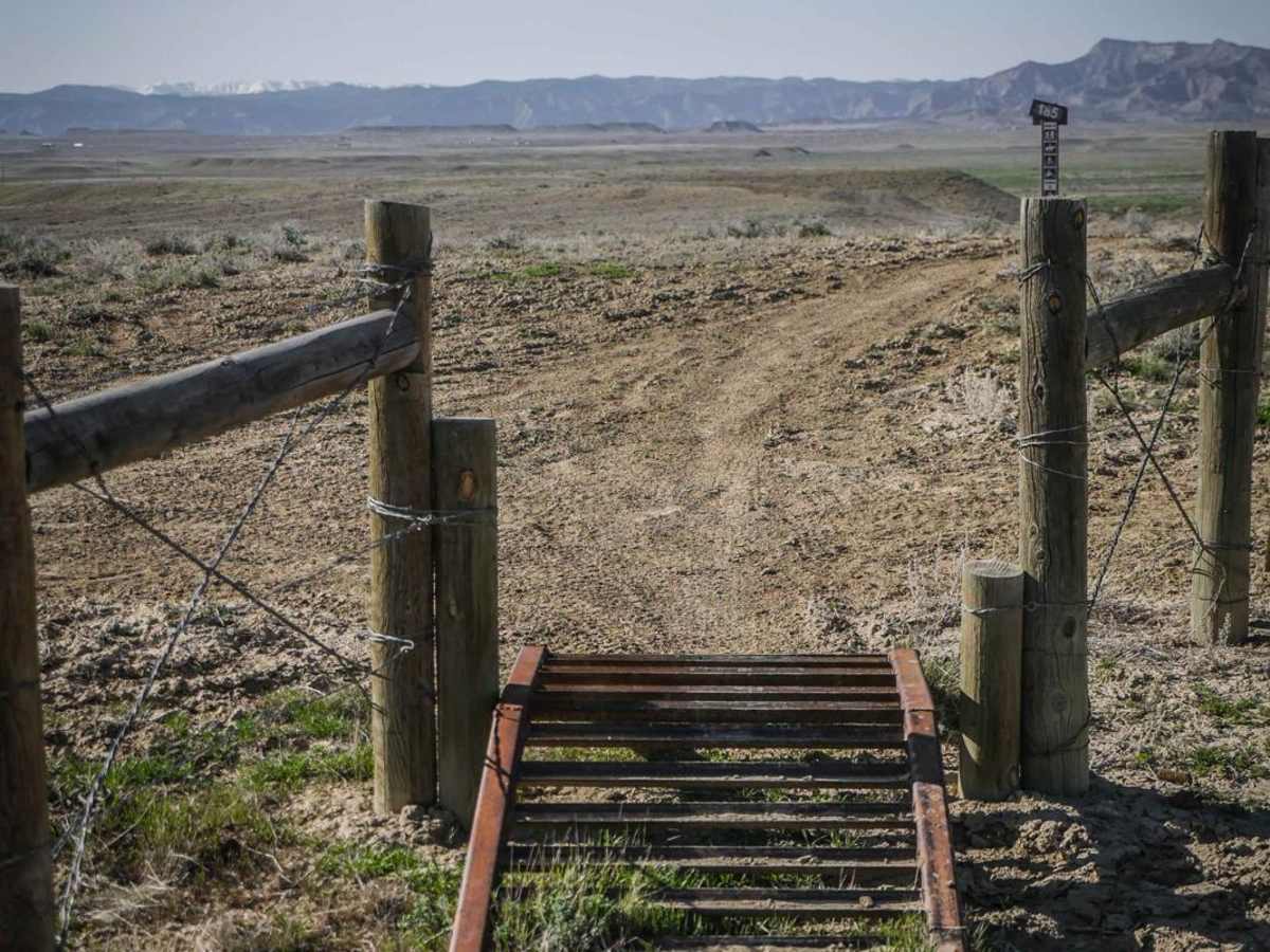
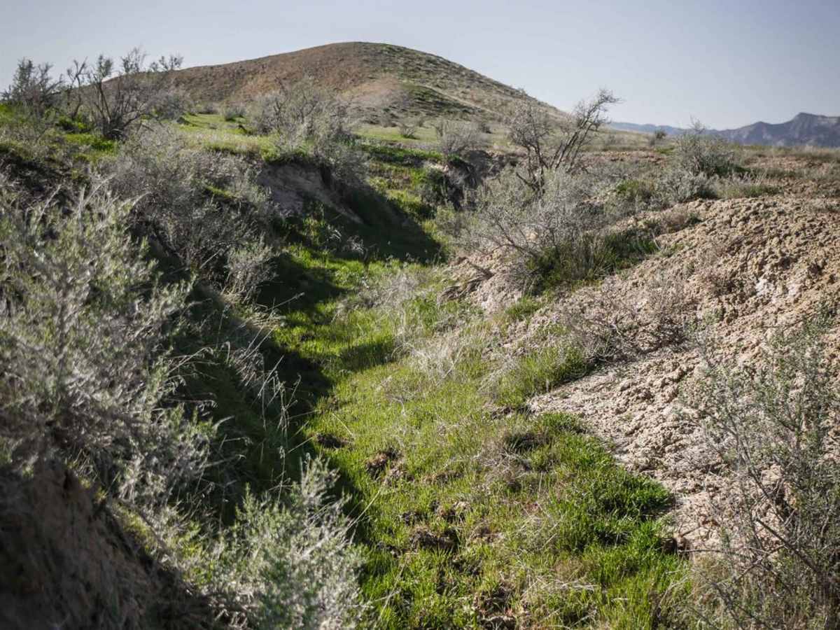
Trail Overview
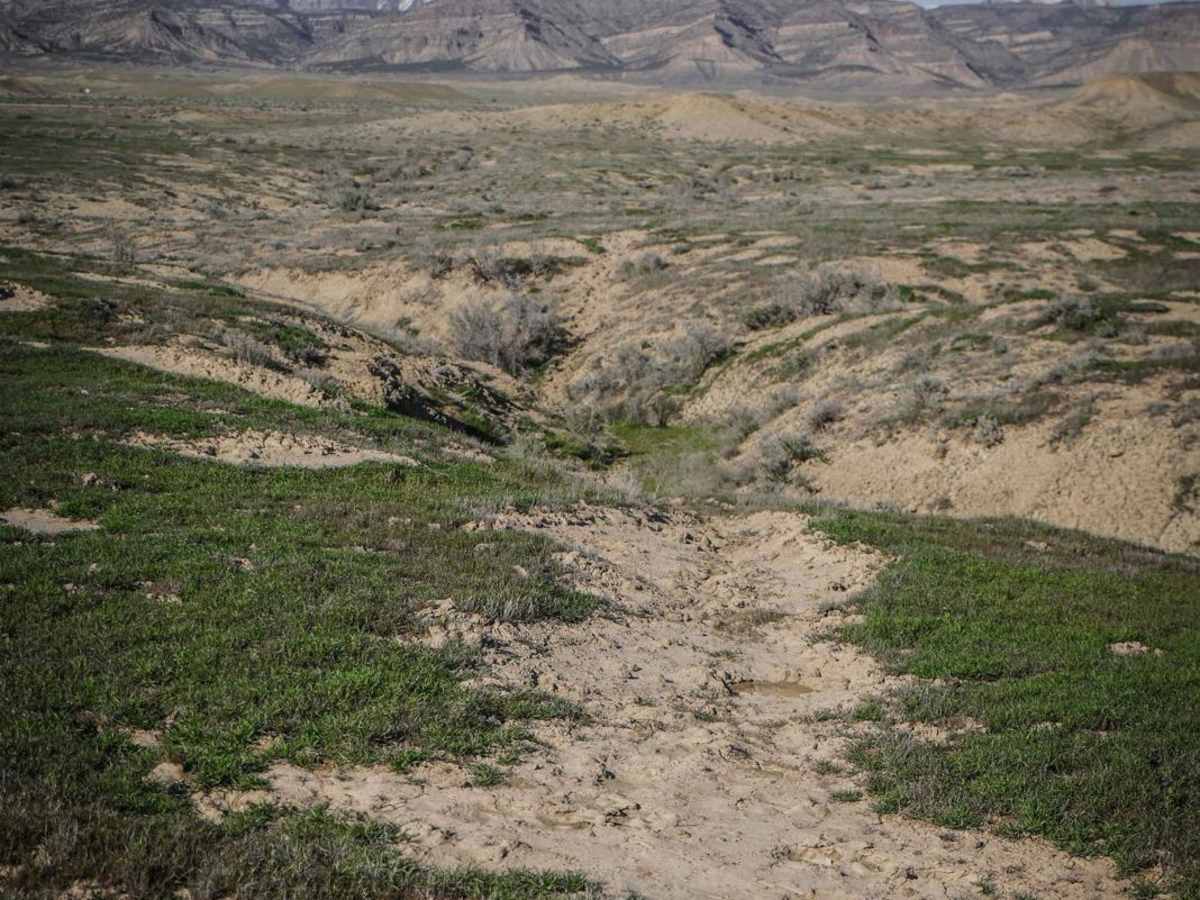
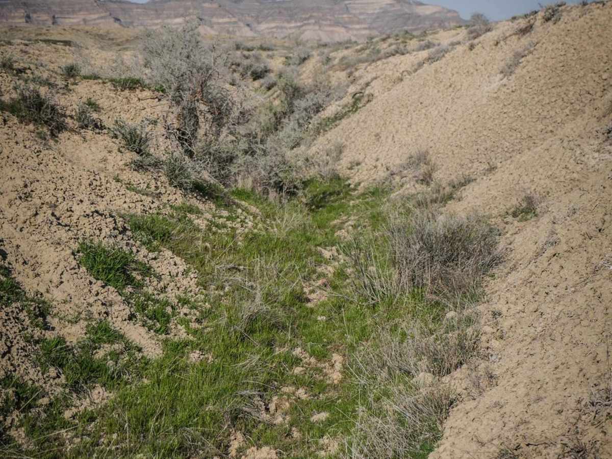
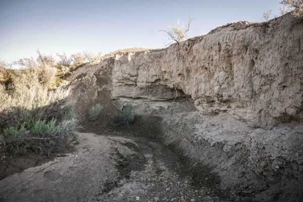
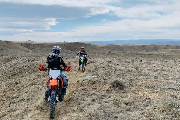
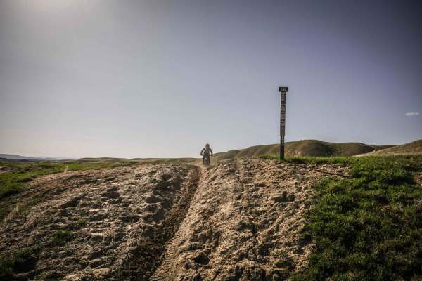
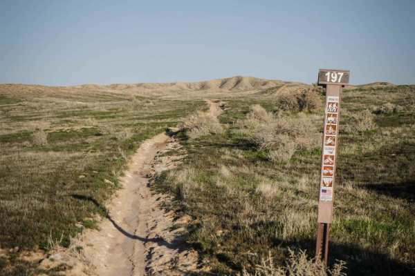
BLM Route 185 is a seldom-ridden dirt bike trail in the North Fruita Desert that goes through an overgrown adobe ditch on a very faint track. The trailhead on the south end has a trail marker sign and pinch point and starts going through grassy meadows on a narrow dirt single track. To follow this GPS route, you depart from the more ridden trail at an unmarked right turn and follow the trail into and out of a bunch of dirt ditches and arroyos. The trail isn't that easy to follow because much of it is overgrown with grass and bushes, so you would need a GPS track to follow to make it through this whole trail. Sometimes the arroyos split into multiple ditches, and a GPS track is helpful to know which ditch the trail is following. The dirt is pretty chopped up, and it can be a bit confusing. If you follow the GPS tracking the whole way, it ends at another trail sign in a wider and deeper rocky wash at an intersection with ATV Trail 184 that goes through this wash. This appears to be one of the less-ridden trails in the area compared to the many other well-defined single tracks in this trail system. Come ride this trail to help reclaim it back from the overgrowth.