
Beginner Off-Road Trails
Near Old Bennington, Vermont
Explore All Beginner Trails Near Old Bennington, Vermont
Beginner Off-Road Trails Near Old Bennington, Vermont
Discover the best beginner-friendly off-road trails near you. These easier, lower-rated trails are a great place to start — browse trail maps, check difficulty ratings, and find your next adventure.
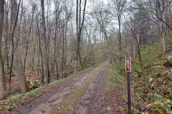
Middle Ridge Road
Also known as Forest Road 278, this trail starts very easily and is scenic, but quickly turns into a challenge when you turn to head uphill. The track will require you to air down as it is very rocky, narrow, and a slow crawl in places. There are ledges and areas where the trail washes out and leave...
Learn more about Middle Ridge Road
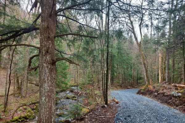
Dunville Hollow Road
Narrow trail that meanders along the path of the Stamford Stream, dotted with private property. There is a parking area about halfway down to get out and stretch your legs, or park and head to the stream for some fishing. If you make it to the end of the trail, there are ruins of an old mill, which ...
Learn more about Dunville Hollow Road
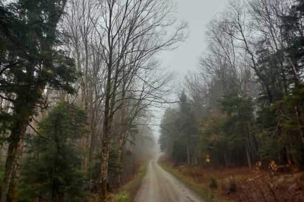
Prospect Mountain Trail
The trail is well-maintained by the National Forest Service and features several campsites along its length. It becomes narrow in certain sections, particularly toward the northern end, where it intersects with cross-country ski and hiking trails. Toward the southern end, ATV and SxS traffic is more...
Learn more about Prospect Mountain Trail
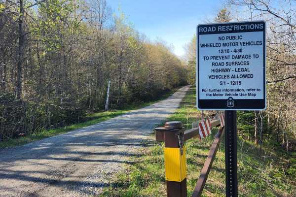
US FSR 74
This is a well-maintained gravel road flanked by forests and dispersed campsites on either side. There is a gate at the entrance which is closed from December 15th to May 1st. Camping is allowed at the dispersed campsites which include space for 1-2 cars and a fire ring but no bathrooms. There are n...
Learn more about US FSR 74
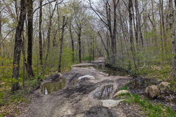
Risky Ranch Road (VT TR 302)
An alternate exit/entrance from County Road, this trail is a muddy, rocky, and rutted path through mostly hardwood forests. There are several instances where alternate paths avoid rockier terrain but travel through murky muddy pools. Near the intersection with County Road is a small murky pond and c...
Learn more about Risky Ranch Road (VT TR 302)
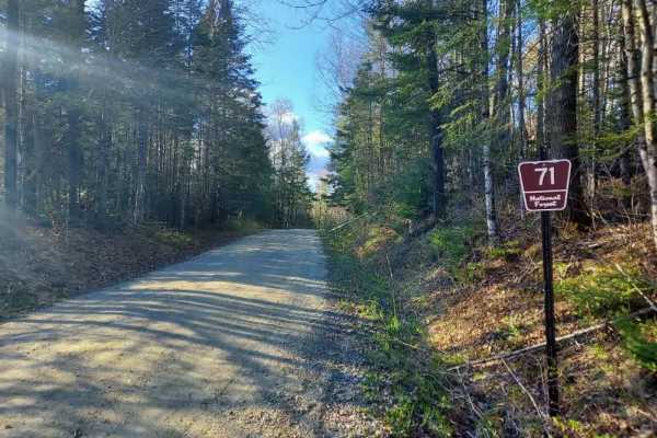
Somerset Trail
Somerset Trail (Forest Road 71) is a well-maintained, relatively smooth gravel road offering the same access and scenery as other routes in the area. Multiple pull-offs and campsites can be found along its length. Expect a moderate amount of vehicle traffic, and be aware of pedestrians and cyclists,...
Learn more about Somerset Trail
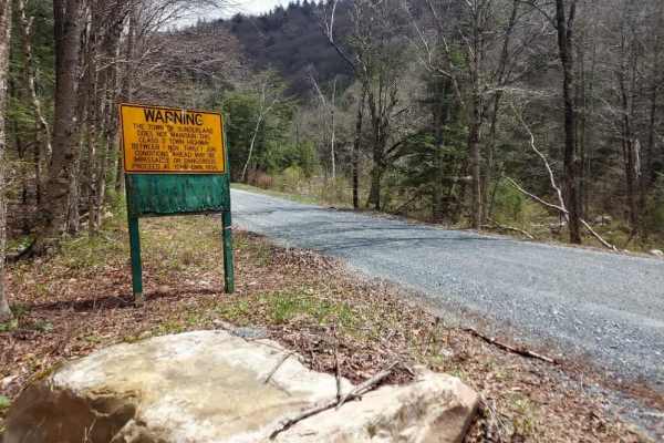
Kelly Stand Road
Kelly Stand Road serves as the main artery through the heart of the Green Mountain National Forest. With numerous spur trails branching off along the way, there’s something here for everyone to explore. You’ll also find plenty of spots to pull off the road—perfect for taking photos, casting a line, ...
Learn more about Kelly Stand Road
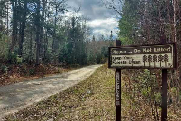
Flood Dam Trail
Also known as Forest Road 83, this track follows the Deerfield River as it winds through scenic wetlands before gradually transitioning into a dense conifer forest. The setting changes noticeably along the route, offering a mix of open, marshy views and shaded sections beneath the trees. The trail b...
Learn more about Flood Dam Trail
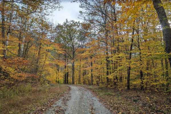
Cowdry Hollow to Comstock Hollow Road
This is a well-maintained state access road with wooded valley views, numerous adjacent brooks, and multiple side hiking trails. It is part of the Berlin State Forest and provides access to the Taconic Crest hiking trail network. The only challenge would be numerous mud holes if driven during the we...
Learn more about Cowdry Hollow to Comstock Hollow Road
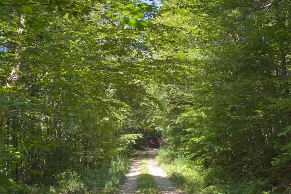
Rock City Road
This trail is a simple two-track side road completely in the woods. Areas are subject to becoming overgrown, especially halfway, where there is an opening from the trees. When you reach the end of the trail, there is a secluded campsite that puts you far from most others; however, it is often full.
Learn more about Rock City Road
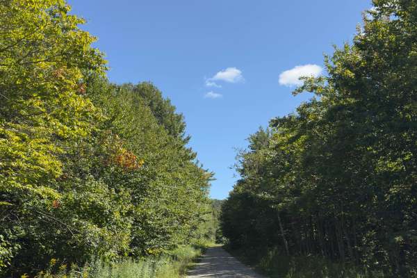
Branch Pond Trail
During the on-season, this is a well-maintained trail off of Kelly Strand Road that leads to a beautiful pond. There is parking available at the end of the trail, with a 0.3-mile walk to Branch Pond. The trail is accessible to most vehicles depending on the weather.
Learn more about Branch Pond Trail
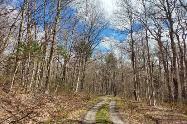
Smith Woods Trail
Also known as Forest Road 86, this short but important trail provides access to several campsites, some of which are drier than others in the area. It’s a narrow, out-and-back two-track that terminates at a boulder wall, where a clearly visible trail continues on foot or by mountain bike to its end.
Learn more about Smith Woods Trail
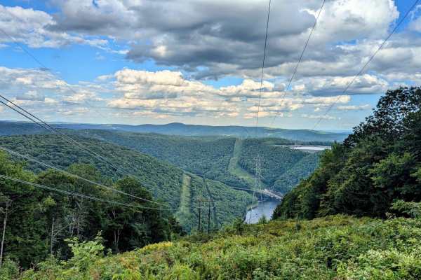
Monroe/ Raycroft Road
Low risk, high reward. This trail through Monroe State has it all: a wooded drive, fantastic views, and amazing waterfalls. The trail has two names because it is a town road that passes through two towns, with a different name in each town. The very northern end of the trail crosses Dunbar Brook whe...
Learn more about Monroe/ Raycroft Road
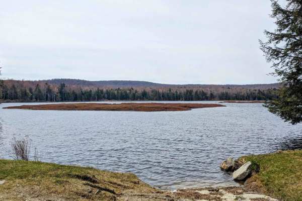
Savoy Road/New State Road
This is a very gentle dirt road with a mildly more difficult center section that is not maintained. The real gem of this trail is the access it provides to Bog Pond, which includes a small boat launch. This trail is a main access corridor leading to multiple off-shoot hiking trails in the Savoy Stat...
Learn more about Savoy Road/New State Road
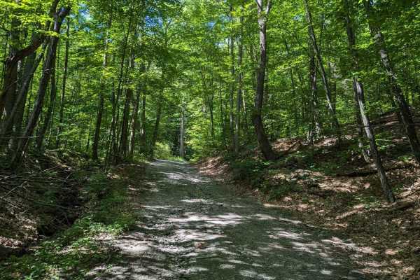
Southeast Corners Road
Vermont Class 4 Road: This is an easy drive through a notch between Little Equinox and Pendock Hill. The trail is sometimes steep, especially on the eastern slope, but includes nothing too technical. The road parallels Skyline Drive, the longest paved toll road in the US for some of the eastern clim...
Learn more about Southeast Corners Road
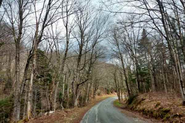
Grout Pond Road
A smooth, easy-going track with several pull-offs for photos and wildlife viewing. The road is well maintained by the Forest Service and sees more traffic than most in the area due to the campground at its termination point. Improvements to the campground began in 2025 and are ongoing into 2026, and...
Learn more about Grout Pond Road
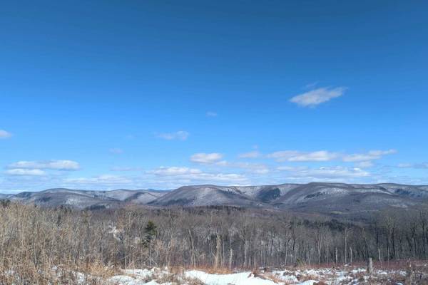
Schaeffer Road
This route starts as an easy track curving through thickly wooded state land. It eventually rises to a ridge with decent views of the west and spectacular views to the east overlooking the Taconic Ridge and the Berlin Pass. This road is inside Cherryplain State Park with lots of other activities, in...
Learn more about Schaeffer Road
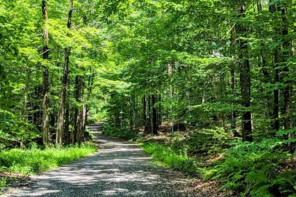
Greylock Road
This is a quiet and usually easy alternative route to ascend Mount Greylock, Massachusetts highest peak. While only open June through October, this gravely jaunt through the woods is more peaceful than the paved and more popular Rockwell Road. Eventually it does meet up with the paved main road, and...
Learn more about Greylock Road
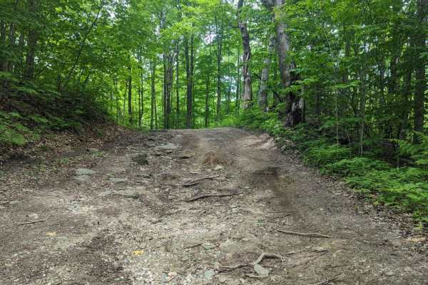
Adams Road
Adams Road is a deeply rutted and muddy road that descends from near an active fire tower (with a gated access road, but hiking up to it is permitted) down the northeast side of Borden Mountain. Views are mostly wooded, with some teases of mountains poking through the leaf canopy.
Learn more about Adams Road
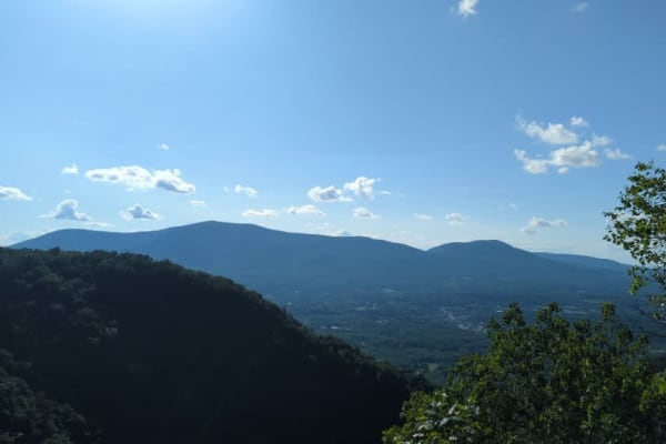
Old Rootville Road
Vermont Class 4 Road: This up-and-back road is a quick, unchallenging trail to an amazing view of Prospect Rock. The trail ends at a gate shortly after it is joined by the Appalachian Trail. If you hit the gate, you already drove by the lookout. Once the AT enters the road from the left, there is a ...
Learn more about Old Rootville Road
Beginner ATV trails near Old Bennington, Vermont
Explore ATV-friendly trails near you. These trails are accessible for vehicles up to 50 inches wide, perfect for ATVs and smaller off-road machines.
US FSR 74
This is a well-maintained gravel road flanked by forests and dispersed campsites on either side. There is a gate at the entrance which is closed from December 15th to May 1st. Camping is allowed at the dispersed campsites which include space for 1-2 cars and a fire ring but no bathrooms. There are n...
Learn more about US FSR 74
Rock City Road
This trail is a simple two-track side road completely in the woods. Areas are subject to becoming overgrown, especially halfway, where there is an opening from the trees. When you reach the end of the trail, there is a secluded campsite that puts you far from most others; however, it is often full.
Learn more about Rock City Road
Branch Pond Trail
During the on-season, this is a well-maintained trail off of Kelly Strand Road that leads to a beautiful pond. There is parking available at the end of the trail, with a 0.3-mile walk to Branch Pond. The trail is accessible to most vehicles depending on the weather.
Learn more about Branch Pond Trail
Southeast Corners Road
Vermont Class 4 Road: This is an easy drive through a notch between Little Equinox and Pendock Hill. The trail is sometimes steep, especially on the eastern slope, but includes nothing too technical. The road parallels Skyline Drive, the longest paved toll road in the US for some of the eastern clim...
Learn more about Southeast Corners Road
Beginner UTV/side-by-side trails near Old Bennington, Vermont
Find UTV and side-by-side trails near you. These trails accommodate vehicles up to 60 inches wide, ideal for UTVs, side-by-sides, and wider off-road rigs.
US FSR 74
This is a well-maintained gravel road flanked by forests and dispersed campsites on either side. There is a gate at the entrance which is closed from December 15th to May 1st. Camping is allowed at the dispersed campsites which include space for 1-2 cars and a fire ring but no bathrooms. There are n...
Learn more about US FSR 74
Rock City Road
This trail is a simple two-track side road completely in the woods. Areas are subject to becoming overgrown, especially halfway, where there is an opening from the trees. When you reach the end of the trail, there is a secluded campsite that puts you far from most others; however, it is often full.
Learn more about Rock City Road
Branch Pond Trail
During the on-season, this is a well-maintained trail off of Kelly Strand Road that leads to a beautiful pond. There is parking available at the end of the trail, with a 0.3-mile walk to Branch Pond. The trail is accessible to most vehicles depending on the weather.
Learn more about Branch Pond Trail
Old Rootville Road
Vermont Class 4 Road: This up-and-back road is a quick, unchallenging trail to an amazing view of Prospect Rock. The trail ends at a gate shortly after it is joined by the Appalachian Trail. If you hit the gate, you already drove by the lookout. Once the AT enters the road from the left, there is a ...
Learn more about Old Rootville Road
The onX Offroad Difference
onX Offroad combines trail photos, descriptions, difficulty ratings, width restrictions, seasonality, and more in a user-friendly interface. Available on all devices, with offline access and full compatibility with CarPlay and Android Auto. Discover what you're missing today!
Open Trail Map