
Beginner Off-Road Trails
Near Oasis, Utah
Explore All Beginner Trails Near Oasis, Utah
Beginner Off-Road Trails Near Oasis, Utah
Discover the best beginner-friendly off-road trails near you. These easier, lower-rated trails are a great place to start — browse trail maps, check difficulty ratings, and find your next adventure.
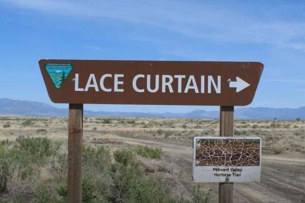
Pahvant Butte Loop
Pahvant Butte Loop is a 30.3-mile point-to-point trail rated 4 of 10 located in Millard County, Utah. The Pahvant Butte Loop is a destination trail which circles the Pahvant Butte, an extinct volcano, which has several unique sites. Pahvant Butte can be seen west of I-15 to those driving either nort...
Learn more about Pahvant Butte Loop
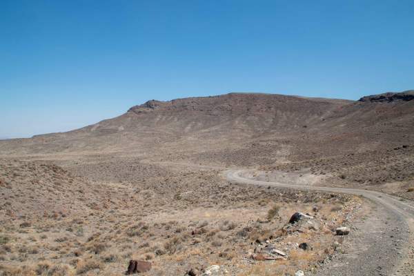
Little Drum Pass
This 25-mile-long trail over Little Drum Pass in the Little Drum Mountains is located just south of the Drum Mountains, starting right outside of Delta, running West over the pass, and ending at the base of the House Range at Swasey Bottom road. This trail can be run in either direction and is a wel...
Learn more about Little Drum Pass
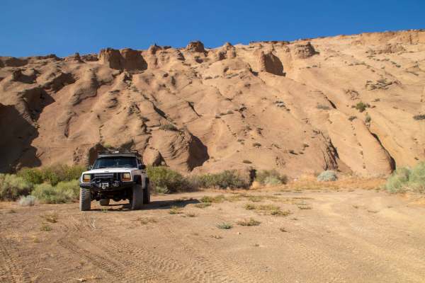
Pahvant Butte Bowl
This trail is short but worth your time to travel down. While not as difficult as the trail leading up to the turn, it is still a little sandy with a couple of small, rockier sections as you travel across the bowl. As you travel across the bowl, you start climbing until you reach the end of the trai...
Learn more about Pahvant Butte Bowl
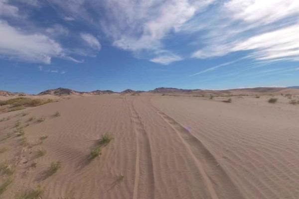
Backdoor to Little Sahara
Backdoor to Little Sahara is a 15.3-mile point-to-point trail rated 3 of 10 located in Millard and Juab Counties. The trailhead is located on Brush Wellman Road a little over 7 miles west from US Highway 6. This trail will lead riders north and eventually enter the western side of the Little Sahara ...
Learn more about Backdoor to Little Sahara
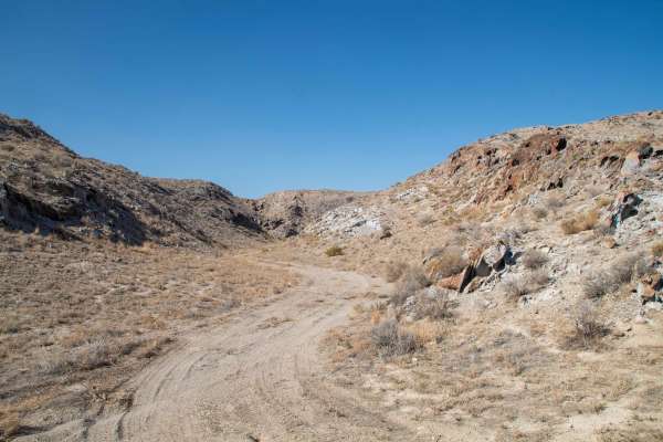
Smelter Knolls Wash
This trail is short but has some features that make it worth the quick trip. The trail splits off of Smelter Knolls East and heads West to the South side of the knoll, where it then enters the wash and heads a short distance up it. Longer and wider vehicles may have trouble turning around where the ...
Learn more about Smelter Knolls Wash
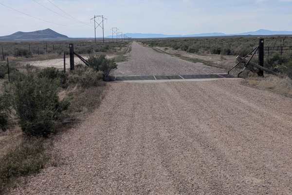
Sheep Trail Road
The Sheep Trail Road is a well-maintained road that gives access to Pahvant Butte. The east end is at the junction of Highway 50 and Highway 100. The south end is off the Clear Lake Road. There are some dunes on BLM land on the east end of the road. In that area, the sand does get blown across the r...
Learn more about Sheep Trail Road
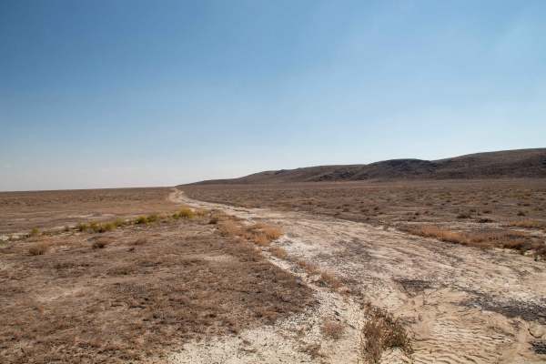
Smelter Knolls East
This is a smooth but unimproved road that travels North/South along the Eastern edge of Smelter Knolls. This trail provides access to a handful of trails that lead closer to the knoll, as well as a couple that lead up onto the knoll. The trail runs between Tolbert Windmill Road and Little Drum Pass ...
Learn more about Smelter Knolls East
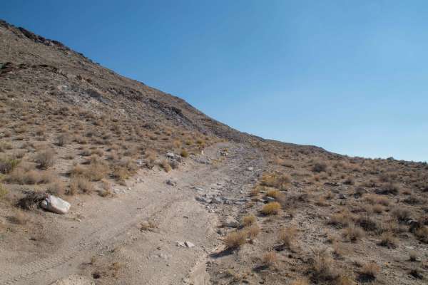
Smelter Knolls West
This trail is an easy trail that travels along the West side of Smelter Knolls until it dead ends atop a small hill overlooking the land West of the knolls. As you travel across the side of the knolls, you'll encounter unique rock formations of the cliffs forming the knolls, as well as some higher s...
Learn more about Smelter Knolls West
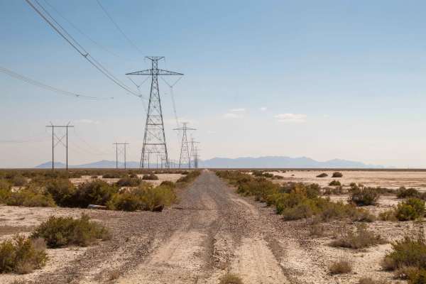
Smelter Knolls Powerline Trail
This trail travels across the desert landscape, following the powerlines traveling across the open flats. This trail is mostly straight with few turns and it may be tempting to travel at a higher speed, but you must be extremely careful as there are washouts and potholes at points in the road that a...
Learn more about Smelter Knolls Powerline Trail
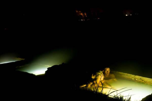
Baker Hot Springs
Access road to reach Baker Hot Springs.
Learn more about Baker Hot Springs
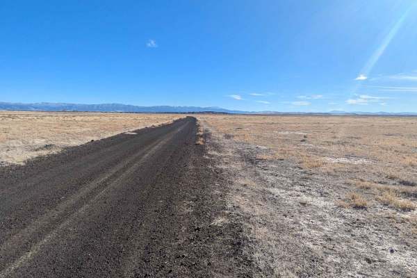
Squidike Road
The Squidike Road is a graded gravel road with patches of washboard. It goes around the west side of the Flowell Lava Flow. On the south end, there is a restroom and parking area at the Lava Tubes trailhead. The north end drops out on the Clear Lake Road. From this road, there are many roads where y...
Learn more about Squidike Road
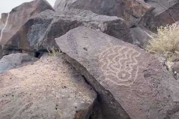
Devil's Kitchen - CR 3551
Devils Kitchen is a 2.1-mile (4.2-mile round trip) out-and-back destination trail rated 2 of 10 located in Millard County. The trail is an intermittently maintained road that leads to the Devil's Kitchen Petroglyph site. The road is packed gravel and dirt, and is suitable for any 4WD and most 2WD ve...
Learn more about Devil's Kitchen - CR 3551
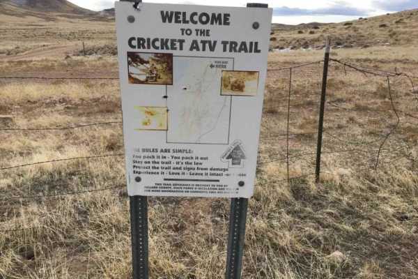
Cricket Mountain OHV Route 12
The Cricket Mountains OHV Trails provide approximately 129 miles of trails, ranging from easy to difficult. There are 12 designated routes within the Cricket Mountain ATV riding area. All routes within the trail network are marked with standard BLM trail designation signs. Route 12 is a 6.7-mile poi...
Learn more about Cricket Mountain OHV Route 12
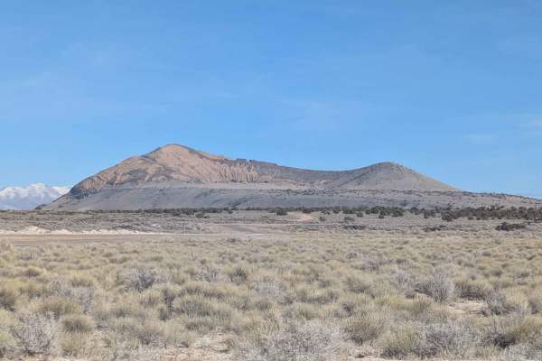
Clear Lake Road
The Clear Lake Road is a well-maintained, graded gravel road accessible by all vehicles. The east end of the road is located in the town of Flowell, Utah, which is west of Fillmore, Utah. There are no services in Flowell. Fillmore will be the best option for fuel or other amenities. The west end of ...
Learn more about Clear Lake Road
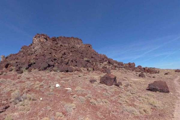
Baker Hogs Back Right Fork
Baker Hogs Back Right Fork is a 6.3-mile point-to-point trail rated 3 of 10 in Juab County, Utah. The Baker Hogs Back Loop (Baker Springs, Hog Back Road, and Right Fork) is known for two major attractions. The first is the hot spring near the intersection of Baker Hot Springs Road and Baker Hogs Bac...
Learn more about Baker Hogs Back Right Fork
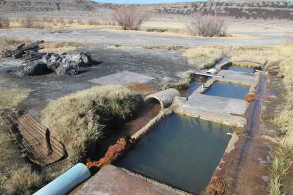
Baker Hogs Back Road
Baker Hogs Back Road is a 3.9-mile point-to-point trail rated 3 of 10 in Juab County, Utah. The Baker Hogs Back Loop (Baker Springs, Hog Back Road, and Right Fork) is known for two major attractions. The first is the Hot Spring near the intersection of Baker Hots Springs Road and Baker Hogs Back Roa...
Learn more about Baker Hogs Back Road
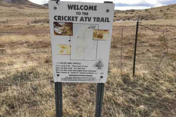
Cricket Mountain OHV Route 9
The Cricket Mountains OHV Trails provide approximately 129 miles of trails, ranging from easy to difficult. There are 12 designated routes within the Cricket Mountain ATV riding area. All routes within the trail network are marked with standard BLM trail designation signs. Route 9 is a 4.4-mile poin...
Learn more about Cricket Mountain OHV Route 9
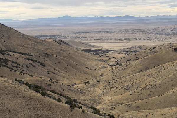
Long Juab Canyon
This trail runs from Old Highway 50 up Long Canyon (Juab County). The trail starts out as a graded, maintained road, but once it starts gaining elevation, it becomes a rocky two-track trail. High clearance is recommended for a few bigger rocks sticking out of the ground, but it may be manageable in ...
Learn more about Long Juab Canyon
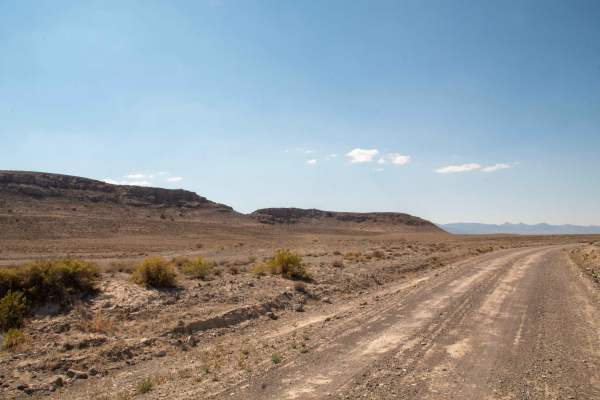
Swasey Wash Road
This easy dirt road ranges from two vehicles wide to about one and a half. It follows Swasey Wash across the desert from Swasey Bottom to Old Highway 6 and 50, with sections that may wash out depending on recent flow. The route crosses the wash in a few places, so it should be avoided during heavy r...
Learn more about Swasey Wash Road
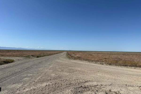
Desert Mountain Loop
The "Desert Mountain Loop" is a newly established trail that offers a straightforward yet picturesque experience for hikers and cyclists alike. The northern portion of this trail connects to Weiss Highway making it a full loop. The trail is predominantly composed of wide flat terrain, a mix of dirt ...
Learn more about Desert Mountain Loop
Beginner ATV trails near Oasis, Utah
Explore ATV-friendly trails near you. These trails are accessible for vehicles up to 50 inches wide, perfect for ATVs and smaller off-road machines.
Pahvant Butte Loop
Pahvant Butte Loop is a 30.3-mile point-to-point trail rated 4 of 10 located in Millard County, Utah. The Pahvant Butte Loop is a destination trail which circles the Pahvant Butte, an extinct volcano, which has several unique sites. Pahvant Butte can be seen west of I-15 to those driving either nort...
Learn more about Pahvant Butte Loop
Little Drum Pass
This 25-mile-long trail over Little Drum Pass in the Little Drum Mountains is located just south of the Drum Mountains, starting right outside of Delta, running West over the pass, and ending at the base of the House Range at Swasey Bottom road. This trail can be run in either direction and is a wel...
Learn more about Little Drum Pass
Pahvant Butte Bowl
This trail is short but worth your time to travel down. While not as difficult as the trail leading up to the turn, it is still a little sandy with a couple of small, rockier sections as you travel across the bowl. As you travel across the bowl, you start climbing until you reach the end of the trai...
Learn more about Pahvant Butte Bowl
Backdoor to Little Sahara
Backdoor to Little Sahara is a 15.3-mile point-to-point trail rated 3 of 10 located in Millard and Juab Counties. The trailhead is located on Brush Wellman Road a little over 7 miles west from US Highway 6. This trail will lead riders north and eventually enter the western side of the Little Sahara ...
Learn more about Backdoor to Little Sahara
Beginner UTV/side-by-side trails near Oasis, Utah
Find UTV and side-by-side trails near you. These trails accommodate vehicles up to 60 inches wide, ideal for UTVs, side-by-sides, and wider off-road rigs.
Pahvant Butte Loop
Pahvant Butte Loop is a 30.3-mile point-to-point trail rated 4 of 10 located in Millard County, Utah. The Pahvant Butte Loop is a destination trail which circles the Pahvant Butte, an extinct volcano, which has several unique sites. Pahvant Butte can be seen west of I-15 to those driving either nort...
Learn more about Pahvant Butte Loop
Little Drum Pass
This 25-mile-long trail over Little Drum Pass in the Little Drum Mountains is located just south of the Drum Mountains, starting right outside of Delta, running West over the pass, and ending at the base of the House Range at Swasey Bottom road. This trail can be run in either direction and is a wel...
Learn more about Little Drum Pass
Pahvant Butte Bowl
This trail is short but worth your time to travel down. While not as difficult as the trail leading up to the turn, it is still a little sandy with a couple of small, rockier sections as you travel across the bowl. As you travel across the bowl, you start climbing until you reach the end of the trai...
Learn more about Pahvant Butte Bowl
Backdoor to Little Sahara
Backdoor to Little Sahara is a 15.3-mile point-to-point trail rated 3 of 10 located in Millard and Juab Counties. The trailhead is located on Brush Wellman Road a little over 7 miles west from US Highway 6. This trail will lead riders north and eventually enter the western side of the Little Sahara ...
Learn more about Backdoor to Little Sahara
The onX Offroad Difference
onX Offroad combines trail photos, descriptions, difficulty ratings, width restrictions, seasonality, and more in a user-friendly interface. Available on all devices, with offline access and full compatibility with CarPlay and Android Auto. Discover what you're missing today!
Open Trail Map