Trail Overview
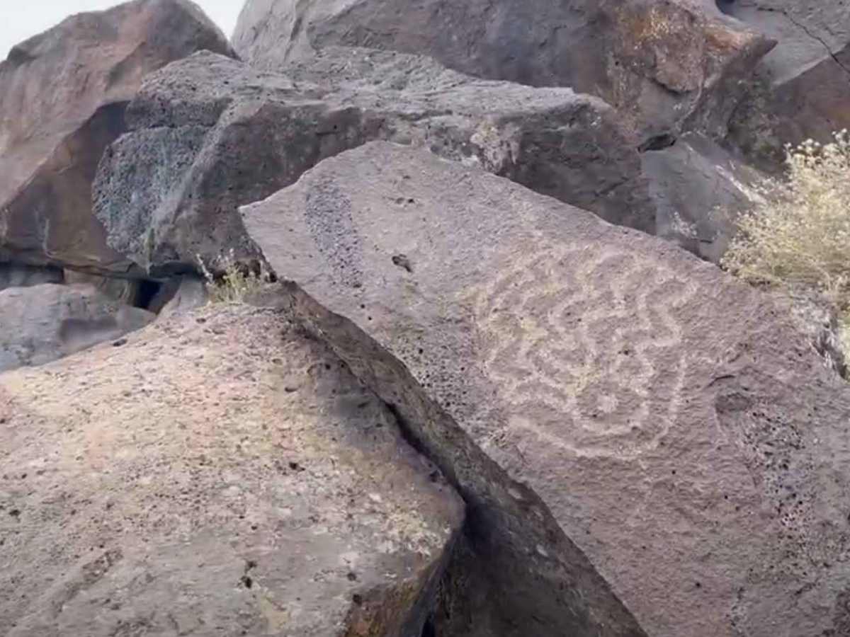
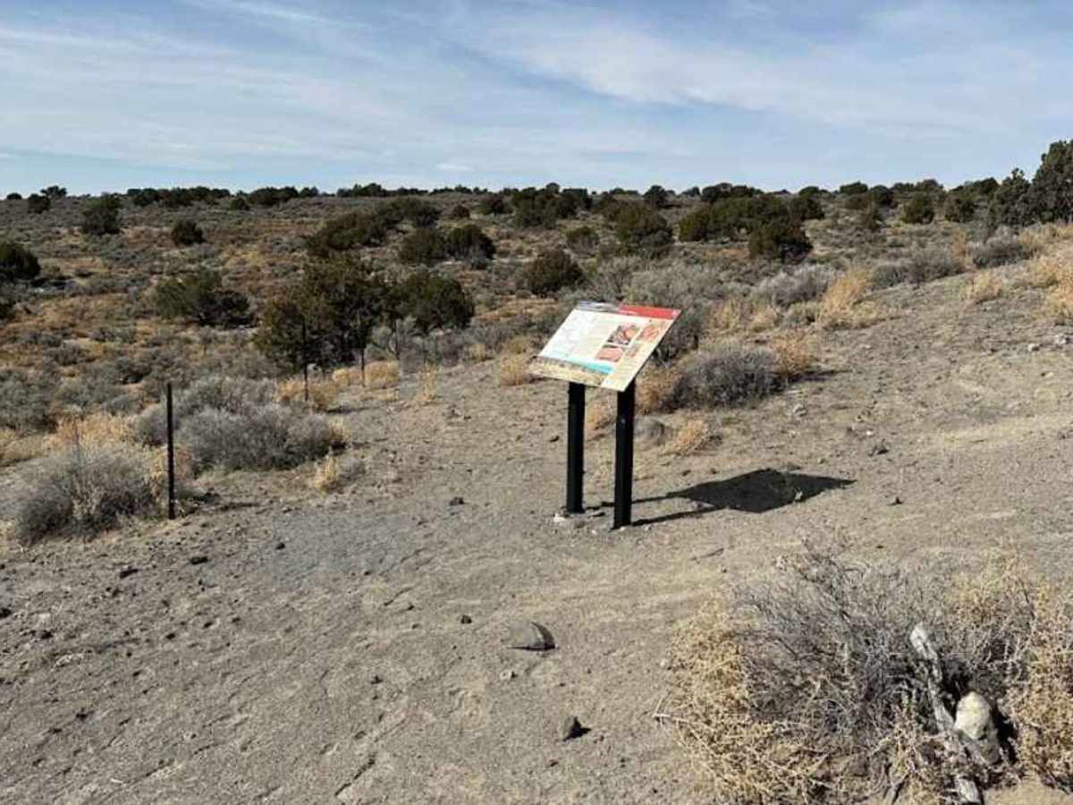
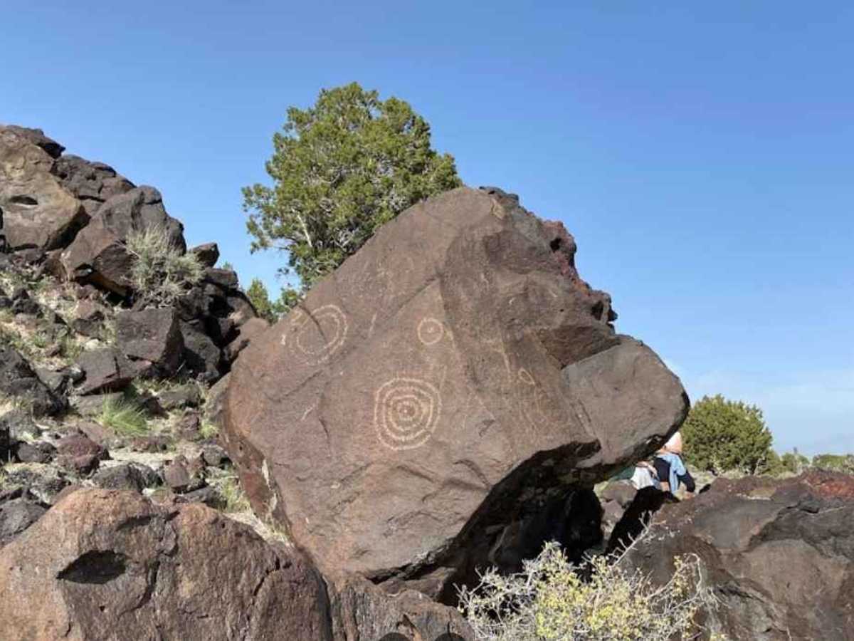
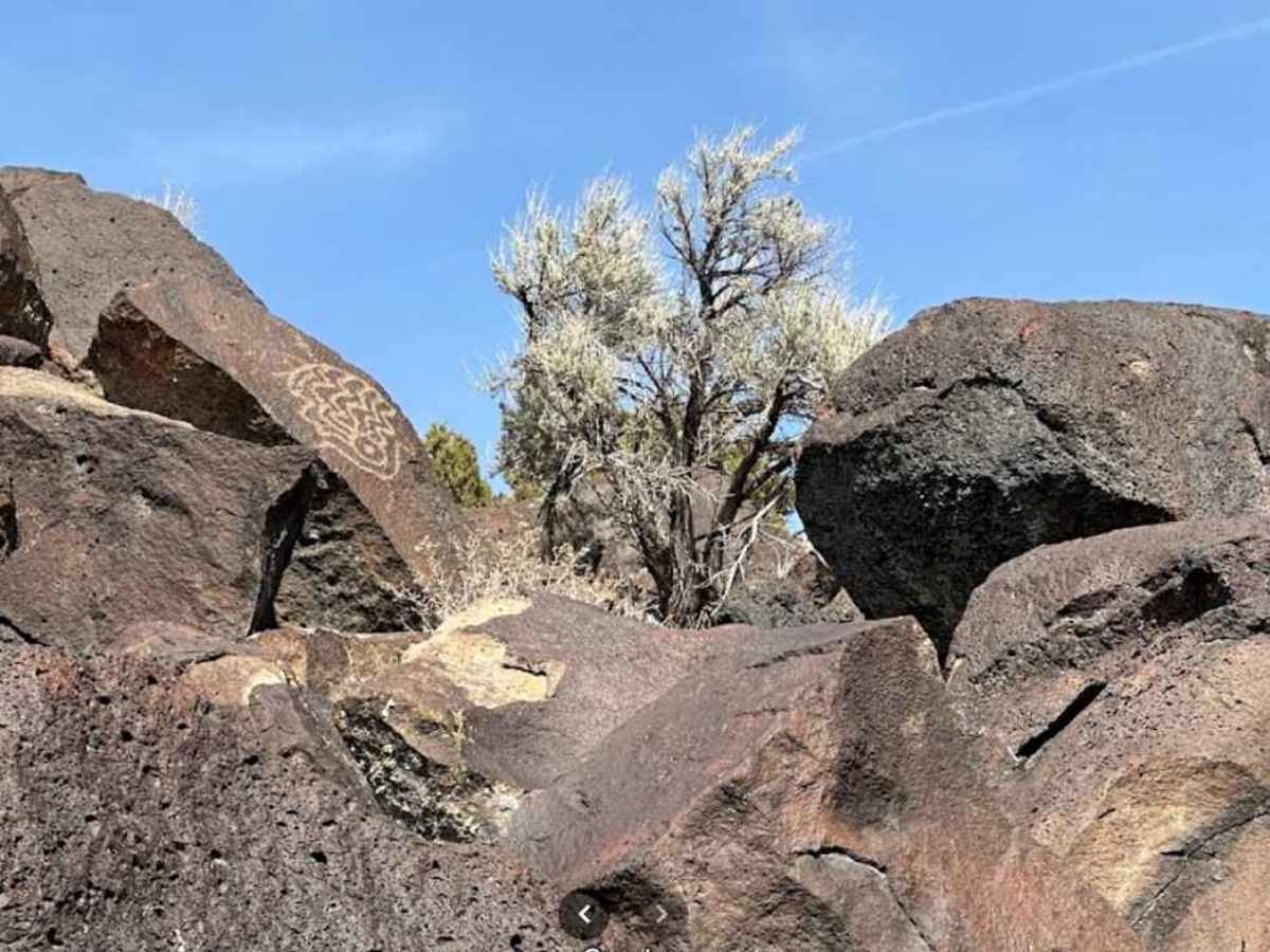
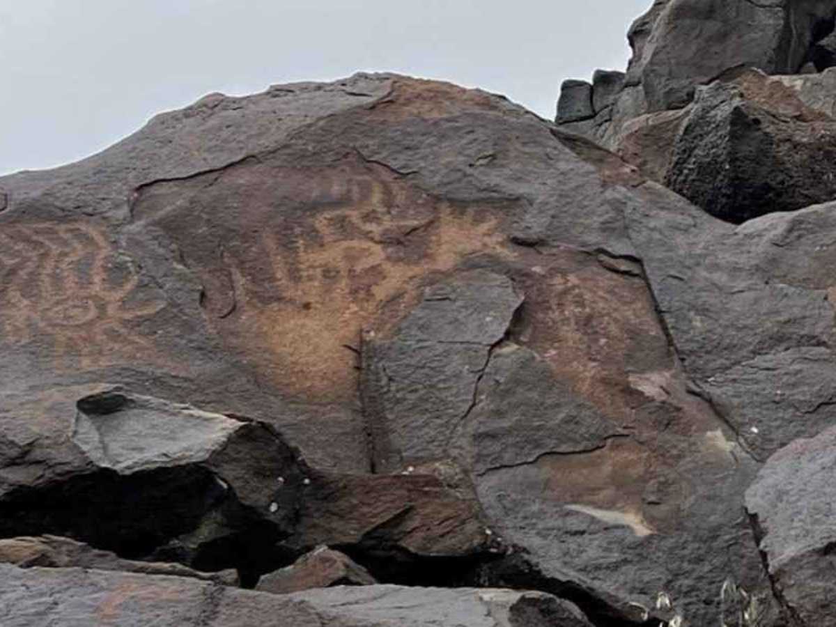
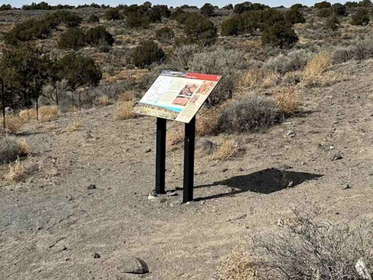
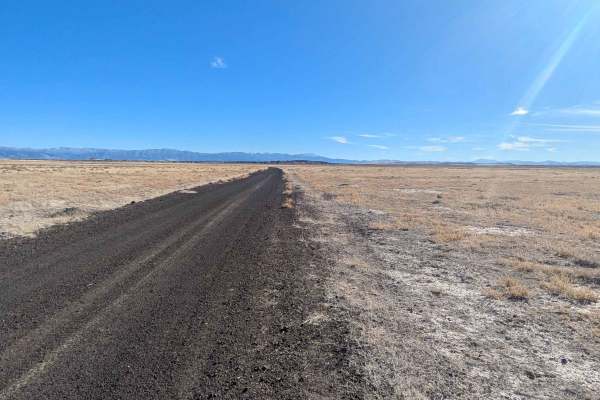
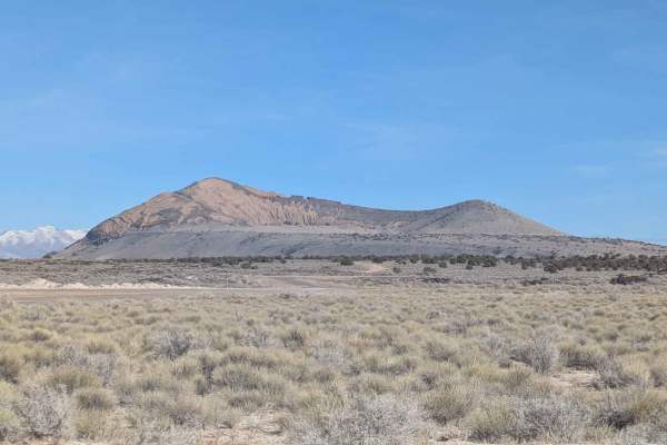
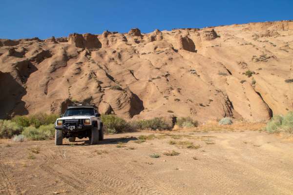
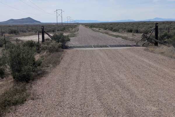
Devils Kitchen is a 2.1-mile (4.2-mile round trip) out-and-back destination trail rated 2 of 10 located in Millard County. The trail is an intermittently maintained road that leads to the Devil's Kitchen Petroglyph site. The road is packed gravel and dirt, and is suitable for any 4WD and most 2WD vehicles with typical clearance. During periods of inclement weather, the road will get muddy, which could prevent 2WD vehicles from reaching the site. The Devil's Kitchen site includes numerous petroglyphs on basalt boulders that are stretched out along the south side of a long lava ridge. Over a hundred panels of images have been identified at the Devil's Kitchen site. A kiosk at the trailhead mentions that the petroglyphs span a period from 6,000 to 1,000 years ago. The out-and-back hiking trail is about a mile long but exploration throughout the lava flow with the nearest petroglyphs less than a hundred yards from the parking area. The largest concentration of petroglyphs is close to the trailhead at the southeast corner of the ridge, where there is a large grouping of boulders. Key sites are P1: 39.05596, -112.5095, P2: 39.05588, -112.50952, P3: 39.05591, -112.50969, P4: 39.05592, -112.50979, P5: 39.05604, -112.50984, P6: 39.05654, -112.51002, P7: 39.0568, -112.51011, P8: 39.05722, -112.51051, P9: 39.05785, -112.51103, P10: 39.05856, -112.51174. There is a road that parallels the ridge with smaller trails cutting into the cliff line for those who don’t want to hike the entire ridge. Please don’t touch or climb on the petroglyphs — they are fragile and irreplaceable. The nearest services are located in Fillmore.