Trail Overview
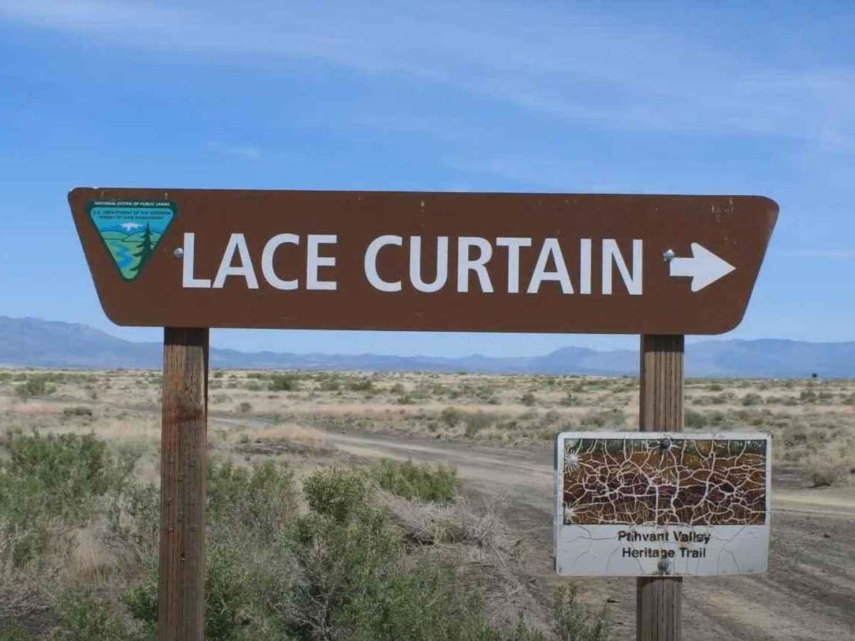
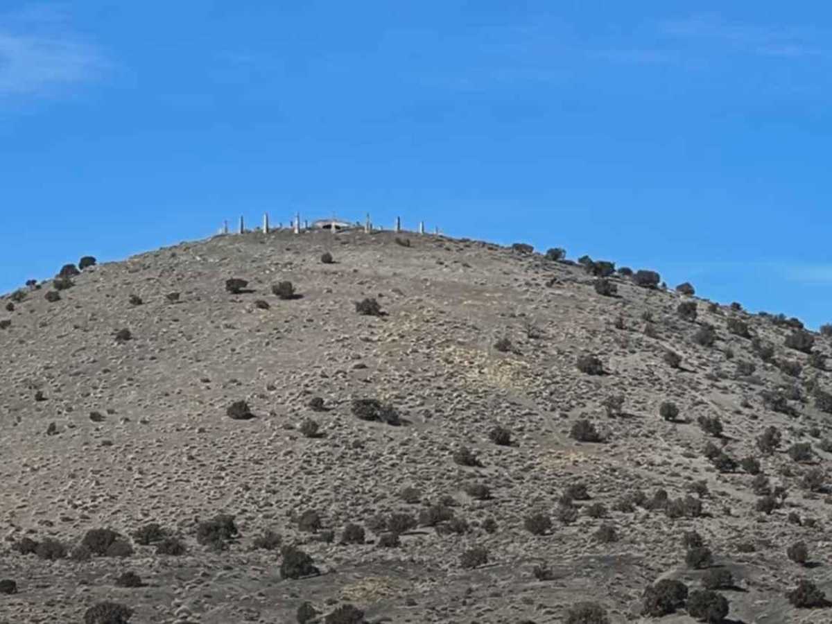
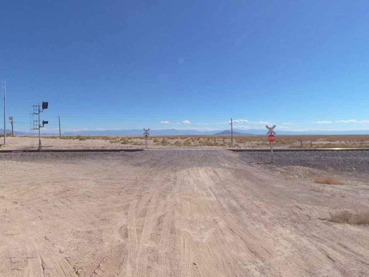
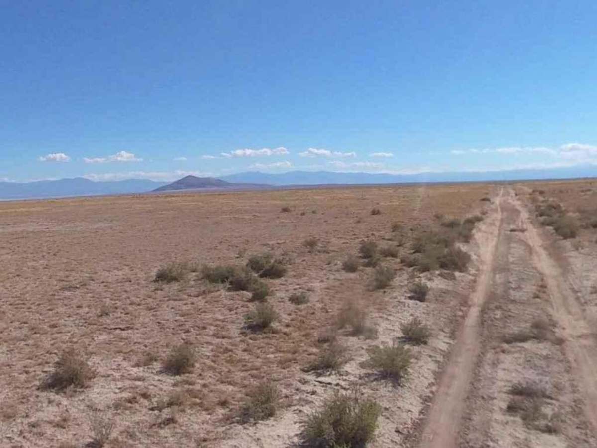
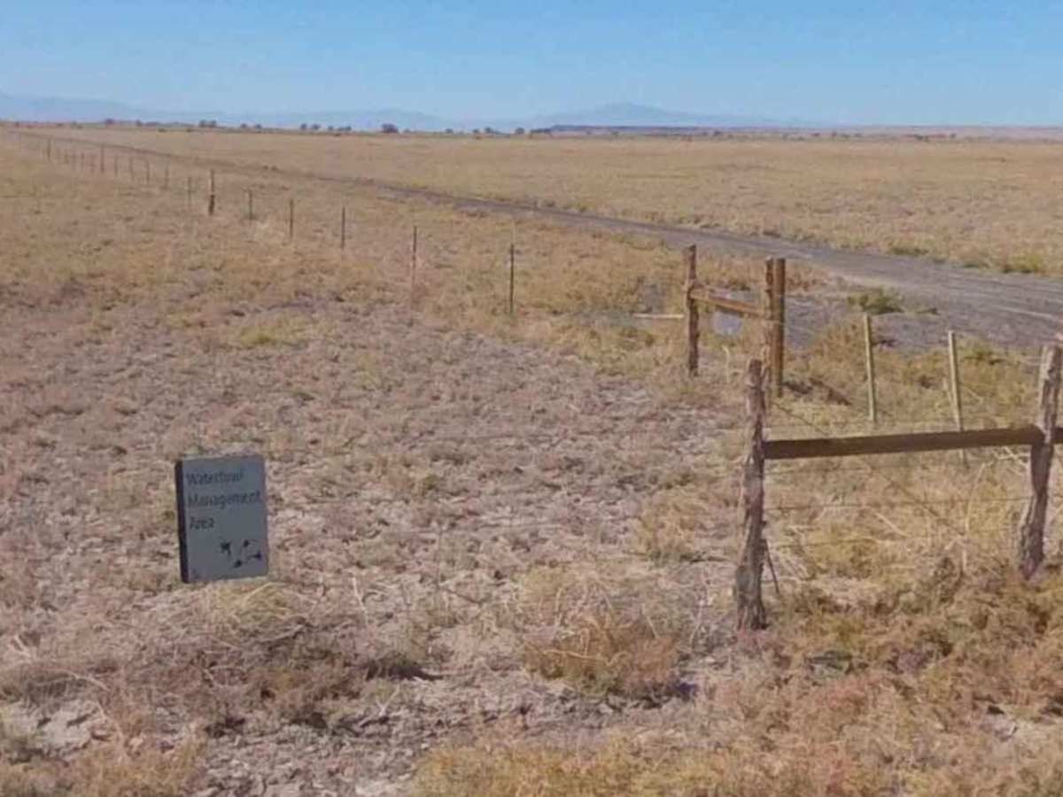
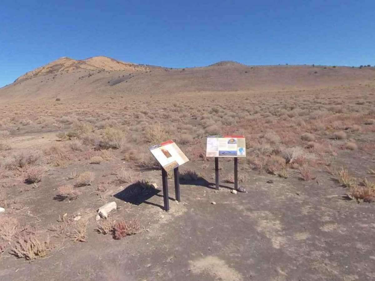
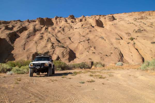
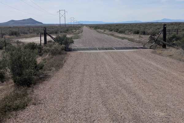
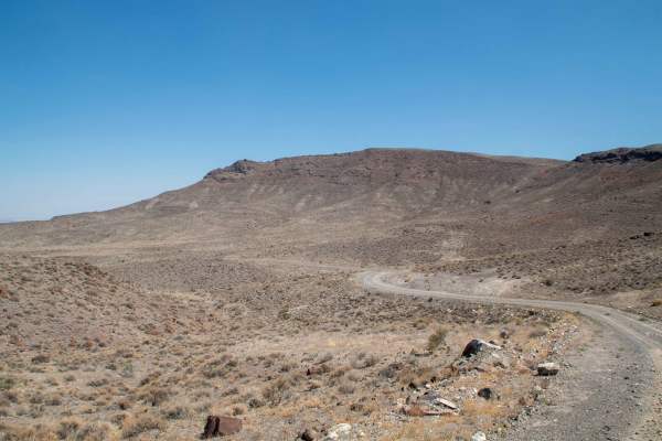
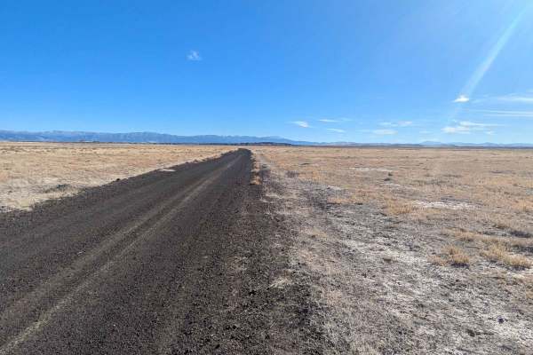
Pahvant Butte Loop is a 30.3-mile point-to-point trail rated 4 of 10 located in Millard County, Utah. The Pahvant Butte Loop is a destination trail which circles the Pahvant Butte, an extinct volcano, which has several unique sites. Pahvant Butte can be seen west of I-15 to those driving either north or south on the interstate. With a volcanic history, Pahvant Butte is an interesting landform worthy of exploring. The road leading to Pahvant Butte is a well graded dirt road which leads past the Crystal Lake Waterfowl Management Area. As you approach the dome the road turns to a single dirt road which is passible in a high clearance vehicle, weather permitting. The butte, sometimes called "Sugarloaf Mountain" by locals, is located in the Sevier Desert in the Pahvant Valley, 15.7 miles (25.3 km) south of Delta and five miles east of Clear Lake and the Clear Lake Wildlife Management Area. Originally a subaqueous volcano, it erupted out of the floor of Lake Bonneville approximately 15,500 years ago. Along the southeast rim of the inner depression of the volcano is an unfinished structure consisting of a concrete building embedded in the hill surrounded by two rings of concrete obelisks. A man named A. H. Hood, created these structures with the intention of generating wind power, in 1923. He only got as far as creating the base and the generator house which remain today. The Lace Curtain is a natural phenomenon located at the north base of the butte. The cliff is known as the "Lace Curtain" because of its white color and mysterious lacey pattern. During the volcano eruption, storm waves and wind cooled the lava as it flowed from the volcano and formed this unique rock pattern seen today. Cell phone service is intermittent. The nearest services are in Delta or Fillmore.
Difficulty
Trail consisting of loose rocks, dirt, and sand with some slickrock surfaces, mud holes possible, no steps higher than 12". 4WD may be required, aggressive tires a plus.