
Beginner Off-Road Trails
Near North Logan, Utah
Explore All Beginner Trails Near North Logan, Utah
Beginner Off-Road Trails Near North Logan, Utah
Discover the best beginner-friendly off-road trails near you. These easier, lower-rated trails are a great place to start — browse trail maps, check difficulty ratings, and find your next adventure.
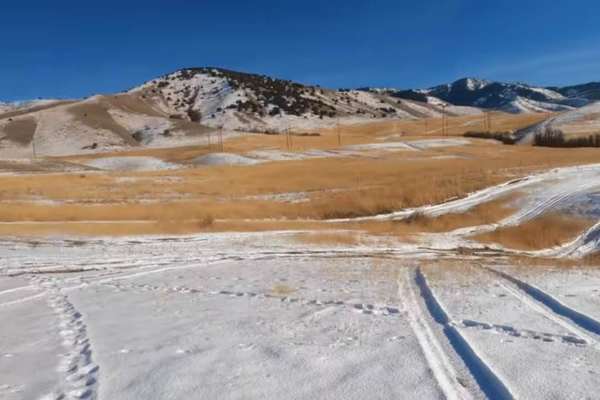
Hyde Park Mine
Just north of the town of Logan is Hyde Park. There are little trails over this hill. From big hill climbs to just easy trails. You can expect to see deer in this area. If you happen to find a mine you can climb down in if you dare.
Learn more about Hyde Park Mine
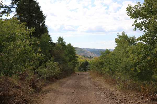
Cowley Canyon-Herd Hollow - FS 20047
This is a fairly tame trail that connects the Mount Logan Trail to the Left Hand Fork Trail or vice versa, depending on the direction of travel. Most of this trail travels through private property, so be mindful and respectful of that. Also, be on the lookout for free-range cattle and sheep in the a...
Learn more about Cowley Canyon-Herd Hollow - FS 20047
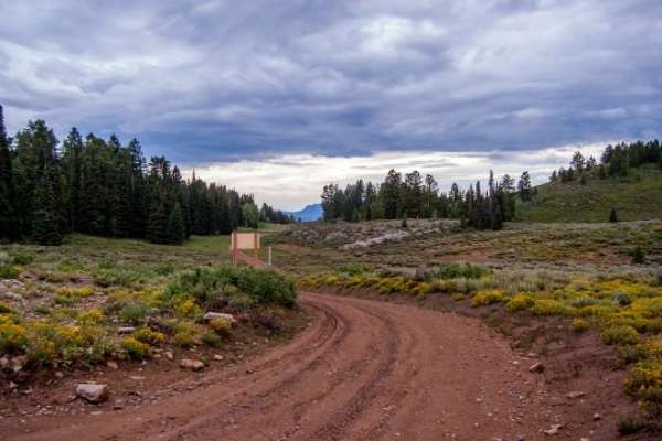
Temple Fork and Old Ephraim's Grave
This is a nice forest road in Logan Canyon that ends at the historic gravesite of the last and most famous Grizzly Bear to roam Logan Canyon and likely all of Utah.
Learn more about Temple Fork and Old Ephraim's Grave
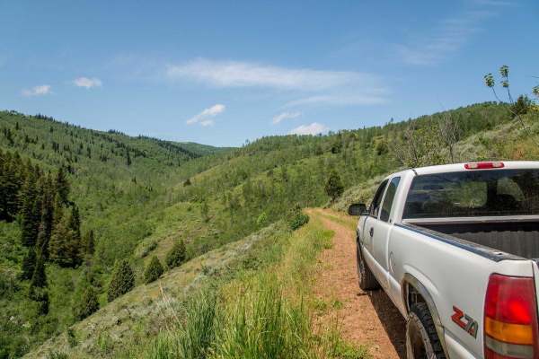
Twin Creeks Road to Bubble Spring
Twin Creeks is a great little spot in Logan Canyon that is also one of the least visited areas in the canyon. The dirt road is open to all vehicles, but is rarely driven. A car would not make it, but most any 4x4 high-clearance vehicle could. Any ATV or dirt bike could do the trail with ease, and wo...
Learn more about Twin Creeks Road to Bubble Spring
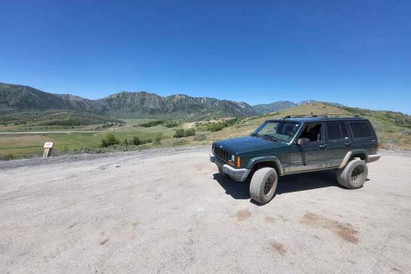
Mount Pisgah Road
This 6-mile-long county road is a scenic route between the UDOT storage shed on US Highway 89 to Paradise, Utah. This route is open April 15th to November 15th if conditions allow, and is a graded gravel road but gets a little bit rutted and rough on the Highway 89 side. This trail is highly scenic,...
Learn more about Mount Pisgah Road
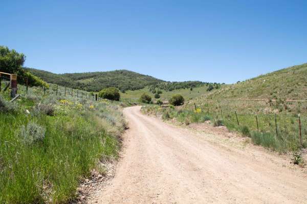
Old Canyon Road
This is a short route that takes you from Mount Pisgah Road over to the top of the old road that used to be Sardine Canyon. This is a short but scenic pass that has a few pullouts where you can park and enjoy the views. There are no major obstacles on this road, and it is a county road through priva...
Learn more about Old Canyon Road
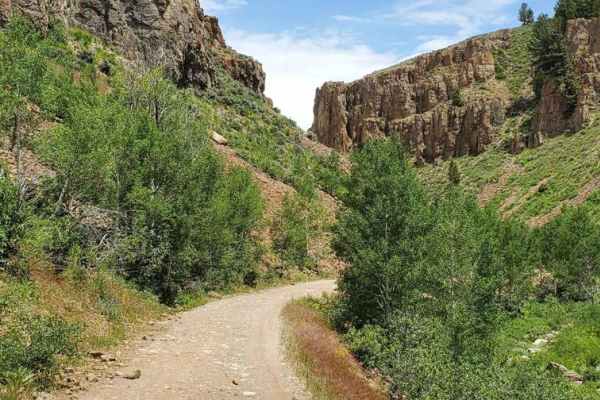
Hell's Hollow
Hell's Hollow trail is an easy-graded trail that takes you through some amazing scenery branching off of the main Hardware Ranch trail system. This trail begins at Dip Hollow heading northeast on a full-width trail toward Lodgepole Canyon. You'll wind through an amazing rocky canyon, surrounded by u...
Learn more about Hell's Hollow
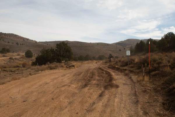
Baxter Sawmill Road
Baxter Sawmill Road traverses the mountains, starting with Hardware Ranch and going to Old Canyon Trail. The road is periodically graded and develops medium-sized ruts from time to time. The road is primarily hardpacked dirt with a section of deeper sand, but the surface becomes highly loose with de...
Learn more about Baxter Sawmill Road
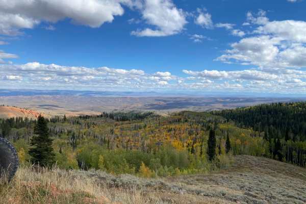
Randolph to Peter Sinks Road
This route is a great spur-off from the Hardware Ranch to Bear Lake Trail. The trail allows an easy and less traveled route into the Peter Sinks area from the small and quaint town of Randolph. The views are expansive and the area offers plenty of other trails to venture on.
Learn more about Randolph to Peter Sinks Road
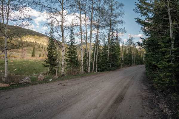
Franklin Basin Utah Section
This is a scenic full-width road that will take you to the Idaho border, where this route continues. As you progress up the basin, you will pass through forests, past the river that winds down the valley, and many campsites along the road. There are places to easily access the river along the route....
Learn more about Franklin Basin Utah Section
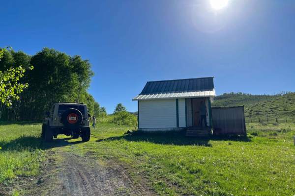
Elk Valley Guard Station
An easy dirt road to the Elk Valley guard station. During the ride, you will pass a really cool beaver dam. You do have to pass through a gate, just be mindful and close it once you are done. The guard station is open to the public. Go in and check it out! Be sure to fill out the log book while you ...
Learn more about Elk Valley Guard Station
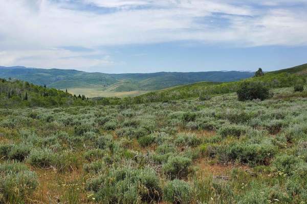
Kearl Pond
Kearl Pond trail is an easy-graded trail that will lead you to some breathtaking vistas. This trail begins at Hell's Hollow within the Hardware Ranch trail system. You'll head east and climb on top of a small mountain range and follow a few saddles. While doing so, make sure to view the valleys and ...
Learn more about Kearl Pond
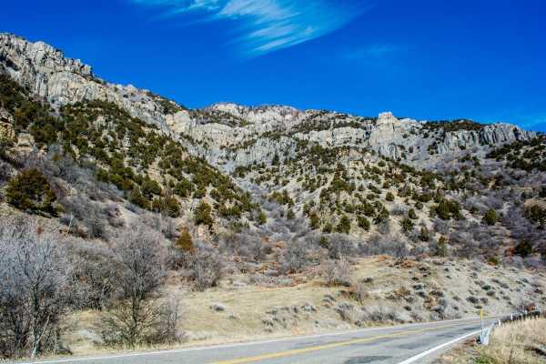
Blacksmith Fork Scenic Drive
This paved road goes through a narrow and scenic canyon with great mountain views ending at Hardware Ranch which is well known for the large elk herd that lives there and is fed all winter. It is also a starting point for hundreds of miles of dirt roads. Could be impassable with snow during winter.
Learn more about Blacksmith Fork Scenic Drive
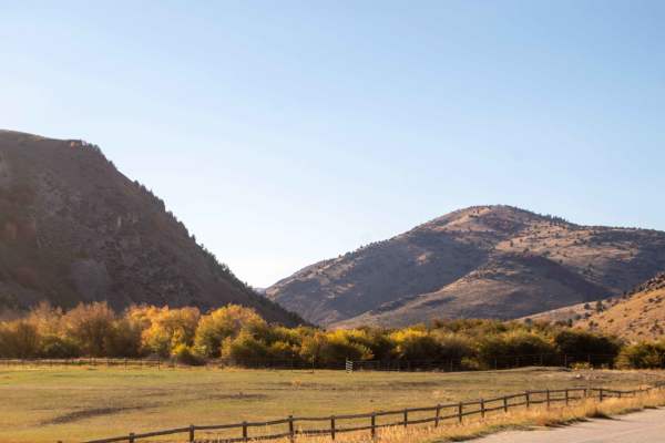
Ant Flat Cutoff
This trail is a short route that is primarily used by non-street legal vehicles to get from the Hardware Ranch trailer parking area over to Ant Flat Road, but can be accessed by other vehicles as well. This trail, while being short, has some decent overlooks from the hilltop looking down Blacksmith ...
Learn more about Ant Flat Cutoff
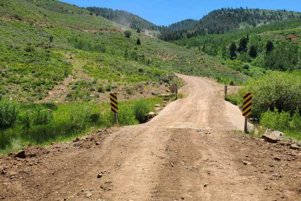
Hardware Ranch to Bear Lake
This really fun trail starts at Hardware Ranch and heads up past Old Ephraim's Grave up to Peter Sinks Rd. It eventually goes underneath Hwy 89 and drops into Garden City on Bear Lake. Be sure to grab a famous raspberry shake. There are tons of different off-chutes to this trail going in all directi...
Learn more about Hardware Ranch to Bear Lake
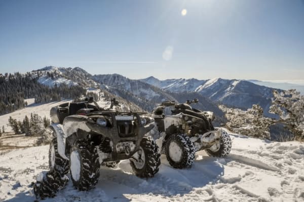
Boss Canyon
Boss Canyon is a highly scenic, 50-inch-width-restricted trail offering riders an immersive journey through dense pine forests and over the Idaho-Utah state line. Starting off the Franklin Basin Road between Logan Canyon, Utah, and Cub River, Idaho, this route is ideal for dirt bikes, ATVs, and narr...
Learn more about Boss Canyon
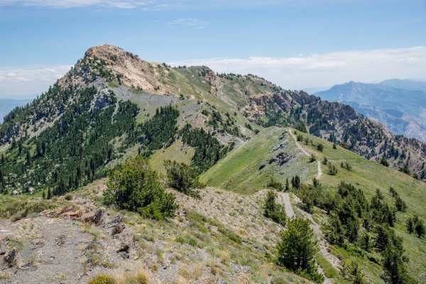
Inspiration Point
This is an awesome drive. You will need a high clearance vehicle due to rocks, but 4x4 is not necessary. This road gets very tight and very high and if you aren't experienced in off-road driving, or if serious heights worry you, this probably is not the road for you. If you are ok with that then thi...
Learn more about Inspiration Point
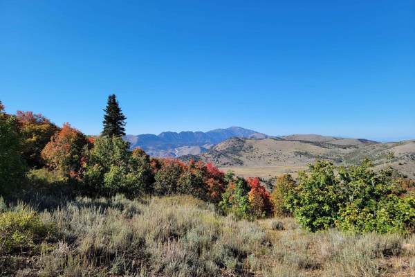
Three Mile Canyon Trail
This is a small hunting trail that cuts through the mountains to Avon Pass. It's very narrow in several spots, which makes passing other vehicles near impossible. It's mainly used by 4-wheelers and hunters. The trail is only open from July 15th to November 15th. It goes through private land, so if y...
Learn more about Three Mile Canyon Trail
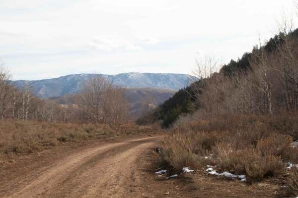
Three Mile Canyon
This is an easy trail that starts from Liberty Avon Road and goes to Three Mile Canyon Trail. This road is closed for the winter on November 15th and opens on June 15th but may have a delayed opening depending on when they open Liberty Avon Road. This trail is one vehicle wide with pullouts to pass....
Learn more about Three Mile Canyon
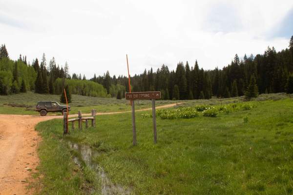
6 Bit Springs Road
This is a short 2 mile trail that branches off of Curtis Creek Road and goes to the trailhead for the hike to 6 Bit Springs. The trail is wide enough for one vehicle and has some shallow ruts but is a little overgrown once you pass the turn for Running Water Springs Road. This trail dead ends at a g...
Learn more about 6 Bit Springs Road
Beginner ATV trails near North Logan, Utah
Explore ATV-friendly trails near you. These trails are accessible for vehicles up to 50 inches wide, perfect for ATVs and smaller off-road machines.
Hyde Park Mine
Just north of the town of Logan is Hyde Park. There are little trails over this hill. From big hill climbs to just easy trails. You can expect to see deer in this area. If you happen to find a mine you can climb down in if you dare.
Learn more about Hyde Park Mine
Cowley Canyon-Herd Hollow - FS 20047
This is a fairly tame trail that connects the Mount Logan Trail to the Left Hand Fork Trail or vice versa, depending on the direction of travel. Most of this trail travels through private property, so be mindful and respectful of that. Also, be on the lookout for free-range cattle and sheep in the a...
Learn more about Cowley Canyon-Herd Hollow - FS 20047
Temple Fork and Old Ephraim's Grave
This is a nice forest road in Logan Canyon that ends at the historic gravesite of the last and most famous Grizzly Bear to roam Logan Canyon and likely all of Utah.
Learn more about Temple Fork and Old Ephraim's Grave
Twin Creeks Road to Bubble Spring
Twin Creeks is a great little spot in Logan Canyon that is also one of the least visited areas in the canyon. The dirt road is open to all vehicles, but is rarely driven. A car would not make it, but most any 4x4 high-clearance vehicle could. Any ATV or dirt bike could do the trail with ease, and wo...
Learn more about Twin Creeks Road to Bubble Spring
Beginner UTV/side-by-side trails near North Logan, Utah
Find UTV and side-by-side trails near you. These trails accommodate vehicles up to 60 inches wide, ideal for UTVs, side-by-sides, and wider off-road rigs.
Hyde Park Mine
Just north of the town of Logan is Hyde Park. There are little trails over this hill. From big hill climbs to just easy trails. You can expect to see deer in this area. If you happen to find a mine you can climb down in if you dare.
Learn more about Hyde Park Mine
Cowley Canyon-Herd Hollow - FS 20047
This is a fairly tame trail that connects the Mount Logan Trail to the Left Hand Fork Trail or vice versa, depending on the direction of travel. Most of this trail travels through private property, so be mindful and respectful of that. Also, be on the lookout for free-range cattle and sheep in the a...
Learn more about Cowley Canyon-Herd Hollow - FS 20047
Temple Fork and Old Ephraim's Grave
This is a nice forest road in Logan Canyon that ends at the historic gravesite of the last and most famous Grizzly Bear to roam Logan Canyon and likely all of Utah.
Learn more about Temple Fork and Old Ephraim's Grave
Twin Creeks Road to Bubble Spring
Twin Creeks is a great little spot in Logan Canyon that is also one of the least visited areas in the canyon. The dirt road is open to all vehicles, but is rarely driven. A car would not make it, but most any 4x4 high-clearance vehicle could. Any ATV or dirt bike could do the trail with ease, and wo...
Learn more about Twin Creeks Road to Bubble Spring
The onX Offroad Difference
onX Offroad combines trail photos, descriptions, difficulty ratings, width restrictions, seasonality, and more in a user-friendly interface. Available on all devices, with offline access and full compatibility with CarPlay and Android Auto. Discover what you're missing today!
Open Trail Map