
Beginner Off-Road Trails
Near Norphlet, Arkansas
Explore All Beginner Trails Near Norphlet, Arkansas
Beginner Off-Road Trails Near Norphlet, Arkansas
Discover the best beginner-friendly off-road trails near you. These easier, lower-rated trails are a great place to start — browse trail maps, check difficulty ratings, and find your next adventure.
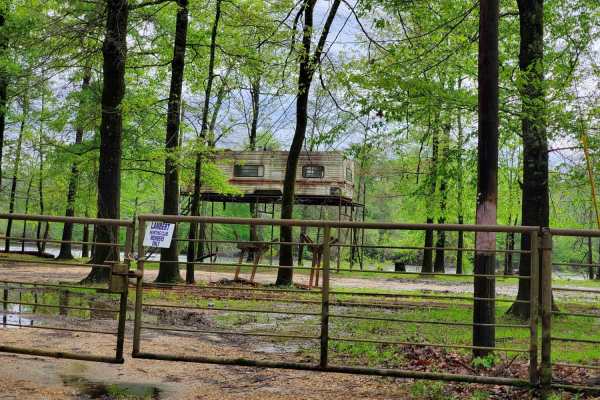
The Arkansas Overland Route - Section 10 - Old Calion Lock and Dam
Section 10 of The Arkansas Overlanding Route. A mix of pavement, gravel, and dirt that can be muddy and slick in areas when wet. This leads to many dispersed camping areas and Old Calion Lock and Dam. There is a full hookup area at The Calion Lock and Dam with flush toilets. You will pass several pr...
Learn more about The Arkansas Overland Route - Section 10 - Old Calion Lock and Dam
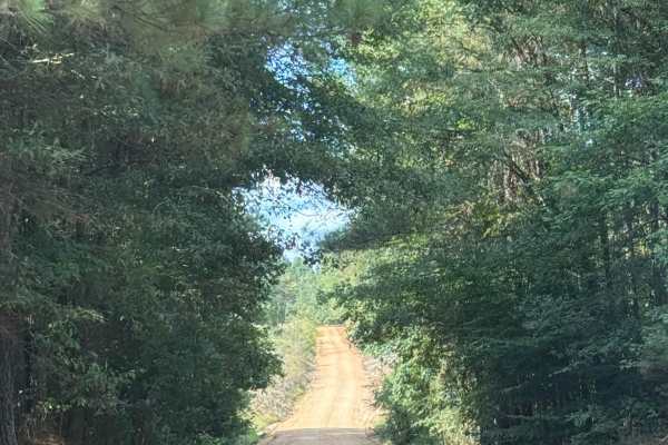
Ricker Road
Ricker Road is a hidden gem nestled in the scenic landscapes of Calion, Arkansas. This off-road trail offers a delightful mix of rugged terrain and picturesque views, making it a perfect choice for both seasoned off-roaders and adventurous beginners looking to explore the area's natural beauty. Thi...
Learn more about Ricker Road
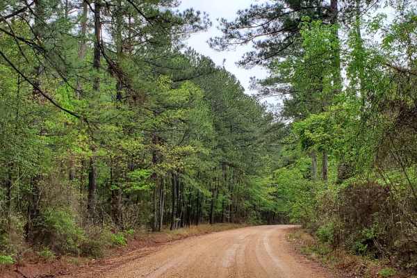
The Arkansas Overland Route - Section 9 - Norphlet Trek
Section 9 of The Arkansas Overland Route contains a mix of pavement, gravel, and dirt. Great views with a mix of Arkansas backroads. This section can have slick and muddy areas. Some areas can flood during heavy rains. This section ends at Norphlet and leads to many more. This is a quaint little tow...
Learn more about The Arkansas Overland Route - Section 9 - Norphlet Trek
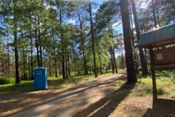
Champagnolle Creek Loop
The Champagnolle Creek Loop is a well-maintained dirt road with some uneven and rutted sections. While the road is easily passable during normal weather, the high river level makes the road impassable at times. Along this route, expect mild traffic, especially during prime fishing and hunting season...
Learn more about Champagnolle Creek Loop
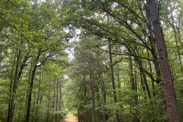
Potlach Road
This is a well-maintained dirt road with a few campsites along the way. This road leads through the Moro Big Pine WMA and there are several horseshoe lakes in the surrounding areas. It is very common to see wildlife such as hogs, turkeys, deer, and occasionally bears. This road can be very dusty dur...
Learn more about Potlach Road
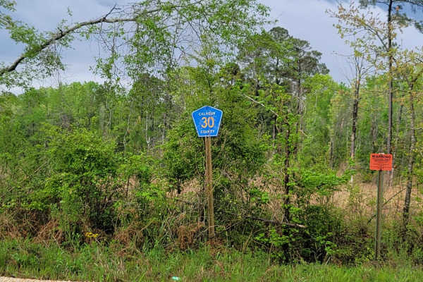
The Arkansas Overland Route - Section 11 - County Road 30 and 32
This is Section 11 of The Arkansas Overland Route. This section is gravel and dirt roads and ends at a deer camp. The road continues on, but after rain, it is all mud and a narrow track. After and during rains, these roads can be messy and have water across them. Some washed-out holes can be deep, s...
Learn more about The Arkansas Overland Route - Section 11 - County Road 30 and 32
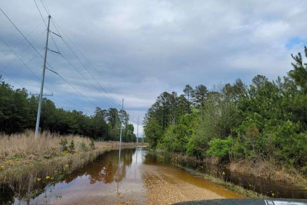
The Arkansas Overland Route - Section 12 - Dead End but Fresh Beginning
This is Section 12 of The Arkansas Overland Route. Deep graveled roads with potholes and water crossing after rain. Ending at HWY 160, a right turn will take you towards Moro State Park. There are dispersed camping areas along this trail, some big enough for group camping.
Learn more about The Arkansas Overland Route - Section 12 - Dead End but Fresh Beginning
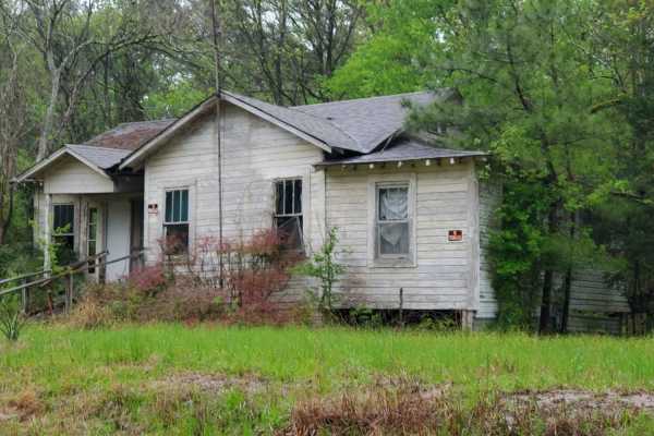
The Arkansas Overland Route - Section 8 - To Spoon Bend Camping Area
The Arkansas Overland Route - Section 8 - To Spoon Bend Camping Area offers a scenic, beginner-friendly journey through southern Arkansas, perfect for overlanders and dual-sport riders seeking a relaxed transition from dirt to riverbanks. Spanning approximately 13.3 miles, this section connects Falc...
Learn more about The Arkansas Overland Route - Section 8 - To Spoon Bend Camping Area
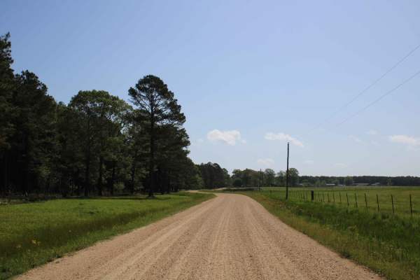
The Arkansas Overland Route - TrailHawk Loop - Section 14 - The Beginning
These are gravel roads that are dusty when dry and can be nasty when wet. They seem well maintained, and there is awesome scenery. Watch for farm equipment on the roads and cattle. This is the first section of The TrailHawk Loop, Section 14 of The Arkansas Overland Route. This section starts the hea...
Learn more about The Arkansas Overland Route - TrailHawk Loop - Section 14 - The Beginning
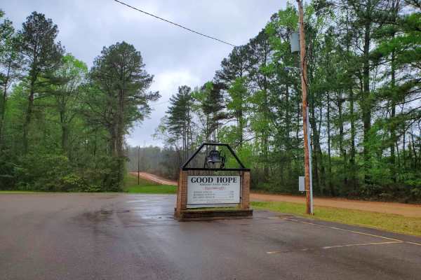
The Arkansas Overland Route - Section 7 - Treck Along Ouachita Road
This trail is Section 7 of the Arkansas Overland Route that starts off HWY 82 (Falcon Bottoms Back Roads) trail. This section contains great views. This is a mix of pavement, dirt, and gravel. Some areas can be messy when wet and have small water crossing during heavy rains. This will continue the p...
Learn more about The Arkansas Overland Route - Section 7 - Treck Along Ouachita Road
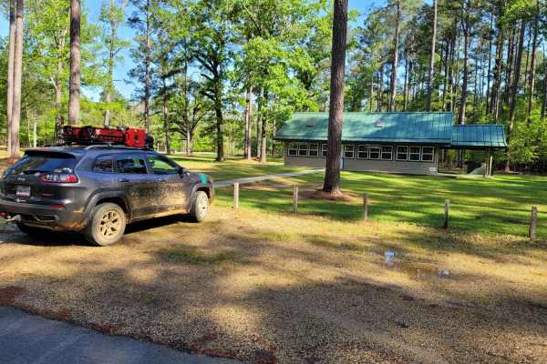
The Arkansas Overland Route - Section 13 - Moro State Park
Gravel road that can be nasty when wet. This section has some pavement that takes you into Moro State Park. This is the beginning of The Trailhawk Loop. The Trail Hawk Loop is part of The Arkansas Overland Route. This is a good area to camp and refresh before starting the TrailHawk Loop.
Learn more about The Arkansas Overland Route - Section 13 - Moro State Park
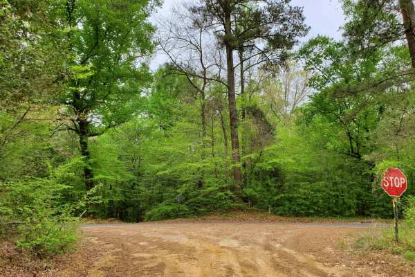
The Arkansas Overland Route - Section 6 - Highway 278 to Highway 79
This trail is Section 6 of The Arkansas Overlanding Route that starts off HWY 82 (Falcon Bottoms Back Roads) trail. This section contains creeks and awesome views. Parts of this trail can be very messy when wet. Some of the dirt roads have dirt banks on each side. Some areas can flood. There is some...
Learn more about The Arkansas Overland Route - Section 6 - Highway 278 to Highway 79
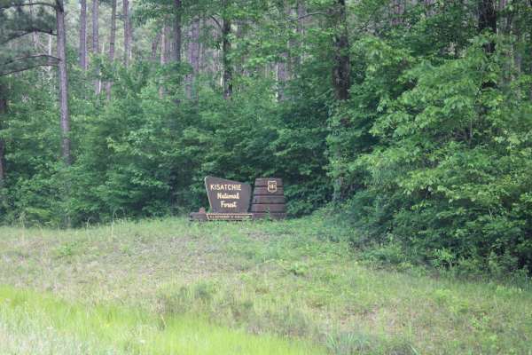
North Shore Drive on Corney Lake
North Shore Drive travels along the northeast side of Corny Lake. This is a gravel road with a few potholes but maintained and car passable. This route ends at Corney Lake Dam and a primitive camping area. There are fishing opportunities and a pit toilet along this route. The Corney Lake Unit includ...
Learn more about North Shore Drive on Corney Lake
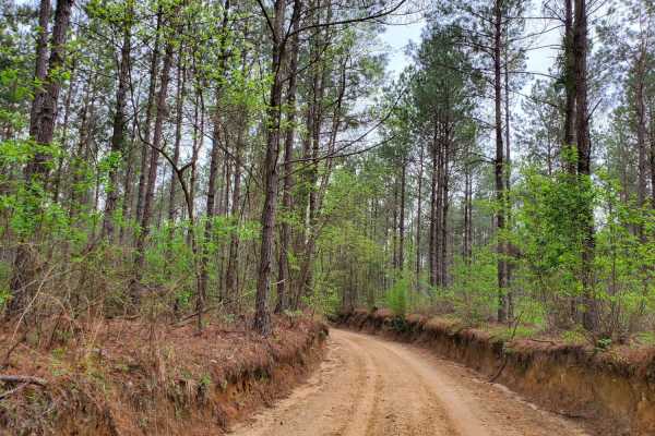
The Arkansas Overland Route - Section 5 - Highway 76 to Highway 278
This trail is a mix of dirt, gravel, and asphalt. This area has some beautiful views and creeks. This is the 5th section of the Arkansas Overlanding Route that starts off HWY 82 (FALCON Bottoms Back Roads) trail. This section can be slick and muddy in sections when wet. Paved sections can be rough i...
Learn more about The Arkansas Overland Route - Section 5 - Highway 76 to Highway 278
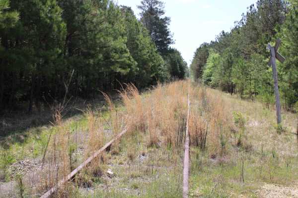
The Arkansas Overland Route - TrailHawk Loop - Section 15
Gravel and dirt roads that can be muddy and slick with possible ruts when wet. This is Section 15 of the Arkansas Overland Route. This section makes up the Hawks' beak when looking at this loop on the map. There are some nice straight sections on this trail. Watch for wildlife. This road goes to the...
Learn more about The Arkansas Overland Route - TrailHawk Loop - Section 15
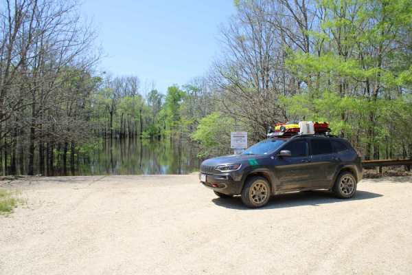
The Arkansas Overland Route - TrailHawk Loop - Section 16
The Arkansas Overland Route - TrailHawk Loop - Section 16 is an easy, scenic 7.2-mile corridor perfect for beginner offroaders and overlanders looking for a relaxed journey to a secluded lakeside retreat. Transitioning between gravel and pavement, this well-maintained corridor winds through a densel...
Learn more about The Arkansas Overland Route - TrailHawk Loop - Section 16
The Arkansas Overland Route - Section 3 - Road 113 to Highway 76
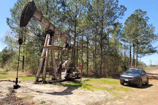
The Arkansas Overland Route - Section 3 - Road 113 to Highway 76 is a scenic, beginner-friendly 11.6-mile overland track perfect for stock sport utility vehicles, four-wheel-drive trucks, and SxSs seeking a historic, laid-back journey through southern Arkansas. Serving as the third leg of the Falcon...
Learn more about The Arkansas Overland Route - Section 3 - Road 113 to Highway 76
The Arkansas Overland Route - TrailHawk Loop - Section 17
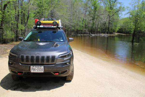
Gravel roads that can be muddy and slick when wet. Roads can become flooded and not passable during and after rains. This goes to a lake and camping area. There is a section known to hold water -depths can vary. Travel with caution in the flooded areas. Watch for wildlife as you travel the route.
Learn more about The Arkansas Overland Route - TrailHawk Loop - Section 17
The Arkansas Overland Route - TrailHawk Loop - Section 18
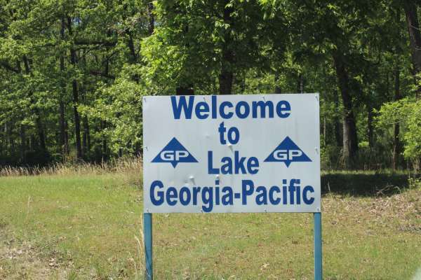
Gravel and dirt roads that can be dusty when dry. Some pavement is in this section. These roads can be muddy and slick with possible ruts when wet. Some areas can be flooded. This section forms the hawk's wing when looking at this loop on the map. This takes you to Georgia Pacific Park. There is fis...
Learn more about The Arkansas Overland Route - TrailHawk Loop - Section 18
The Arkansas Overland Route - Section 4 - Poison Springs WMA and Purifoy Cemetery
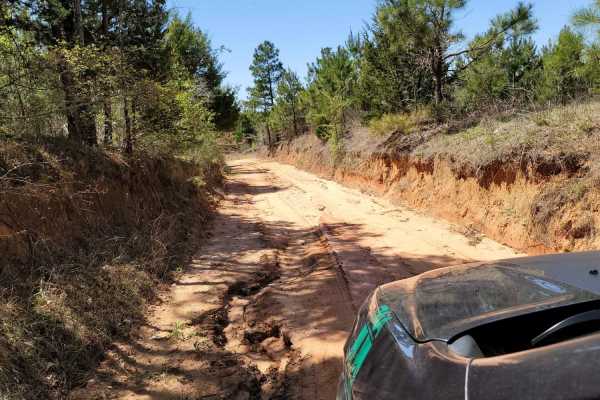
This trail is gravel and dirt that can be sloppy during or after rains. There is a small section is pavement before turning to go to Purifoy Cemetery. Some areas you might want to avoid during or right after rains. Primitive camping sites can be found along parts of these roads. For camping, get a f...
Learn more about The Arkansas Overland Route - Section 4 - Poison Springs WMA and Purifoy Cemetery
Beginner ATV trails near Norphlet, Arkansas
Explore ATV-friendly trails near you. These trails are accessible for vehicles up to 50 inches wide, perfect for ATVs and smaller off-road machines.
Champagnolle Creek Loop
The Champagnolle Creek Loop is a well-maintained dirt road with some uneven and rutted sections. While the road is easily passable during normal weather, the high river level makes the road impassable at times. Along this route, expect mild traffic, especially during prime fishing and hunting season...
Learn more about Champagnolle Creek Loop
Potlach Road
This is a well-maintained dirt road with a few campsites along the way. This road leads through the Moro Big Pine WMA and there are several horseshoe lakes in the surrounding areas. It is very common to see wildlife such as hogs, turkeys, deer, and occasionally bears. This road can be very dusty dur...
Learn more about Potlach Road
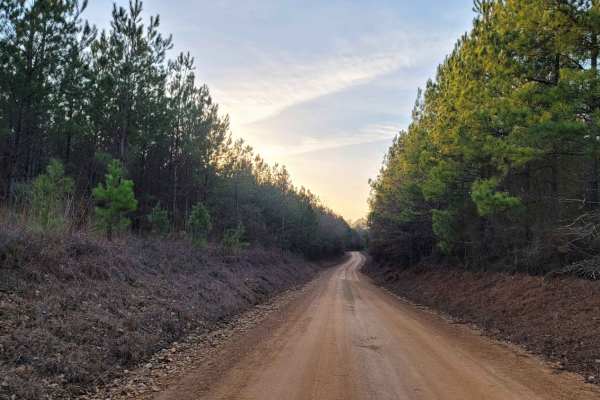
Country Route to White Oak Lake Group Campsite
This is a gravel and dirt road that leads to an awesome group campsite on White Oak Lake. A permit can be found online to camp in this free Poison Springs Forest. There are several campsites in this area. This particular campsite is on a hill right beside White Oak Lake. The later part of this route...
Learn more about Country Route to White Oak Lake Group Campsite
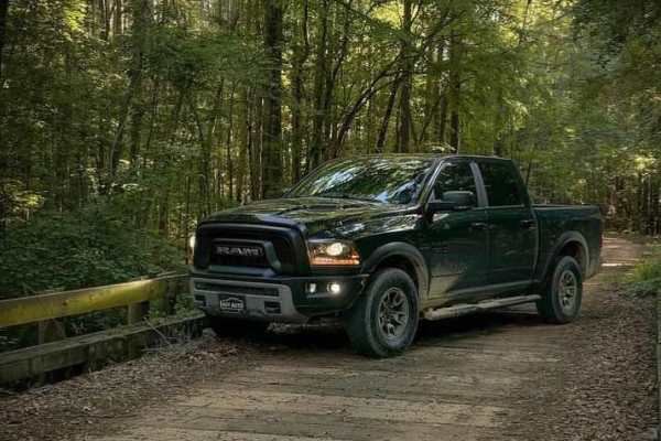
Butler Circle
This is a basic fire road within Kisatchie National Forest. It involves rolling hills through the Louisiana landscape. Hidden around the area are lookout towers for fire detection, a relic from past land management in the area. This area of the Kisatchie has a number of private in-holdings as well a...
Learn more about Butler Circle
Beginner UTV/side-by-side trails near Norphlet, Arkansas
Find UTV and side-by-side trails near you. These trails accommodate vehicles up to 60 inches wide, ideal for UTVs, side-by-sides, and wider off-road rigs.
Champagnolle Creek Loop
The Champagnolle Creek Loop is a well-maintained dirt road with some uneven and rutted sections. While the road is easily passable during normal weather, the high river level makes the road impassable at times. Along this route, expect mild traffic, especially during prime fishing and hunting season...
Learn more about Champagnolle Creek Loop
Potlach Road
This is a well-maintained dirt road with a few campsites along the way. This road leads through the Moro Big Pine WMA and there are several horseshoe lakes in the surrounding areas. It is very common to see wildlife such as hogs, turkeys, deer, and occasionally bears. This road can be very dusty dur...
Learn more about Potlach Road
Country Route to White Oak Lake Group Campsite
This is a gravel and dirt road that leads to an awesome group campsite on White Oak Lake. A permit can be found online to camp in this free Poison Springs Forest. There are several campsites in this area. This particular campsite is on a hill right beside White Oak Lake. The later part of this route...
Learn more about Country Route to White Oak Lake Group Campsite
Butler Circle
This is a basic fire road within Kisatchie National Forest. It involves rolling hills through the Louisiana landscape. Hidden around the area are lookout towers for fire detection, a relic from past land management in the area. This area of the Kisatchie has a number of private in-holdings as well a...
Learn more about Butler Circle
The onX Offroad Difference
onX Offroad combines trail photos, descriptions, difficulty ratings, width restrictions, seasonality, and more in a user-friendly interface. Available on all devices, with offline access and full compatibility with CarPlay and Android Auto. Discover what you're missing today!
Open Trail Map