
Beginner Off-Road Trails
Near Moreland, Idaho
Explore All Beginner Trails Near Moreland, Idaho
Beginner Off-Road Trails Near Moreland, Idaho
Discover the best beginner-friendly off-road trails near you. These easier, lower-rated trails are a great place to start — browse trail maps, check difficulty ratings, and find your next adventure.
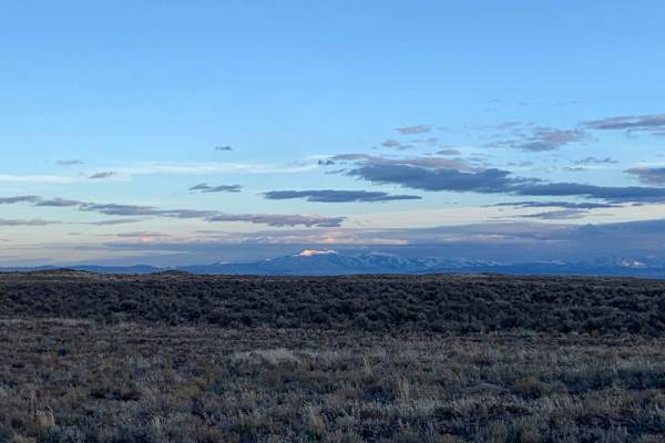
Springfield to Big Southern Butte
This scenic 26.3-mile point-to-point trail is ideal for beginner to intermediate offroaders looking to explore the historic Snake River Plain while taking in views of the iconic Big Southern Butte. Running from Springfield, Idaho, up toward the towering volcanic dome of Big Southern Butte, the route...
Learn more about Springfield to Big Southern Butte
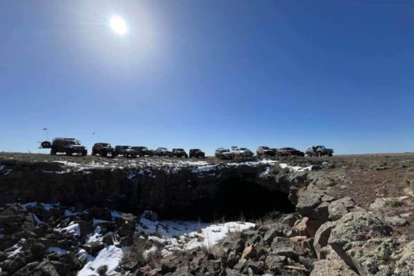
Bear Trap Cave North
Bear Trap Cave is one of many lave caves located in southeast Idaho. This trail begins from Coffee Point and winds southwest across the desert to the Bear Trap cave. It is a relatively easy-going trail, with a mostly dirt road that is only challenging in snow or mud. There are plenty of scenic oppor...
Learn more about Bear Trap Cave North
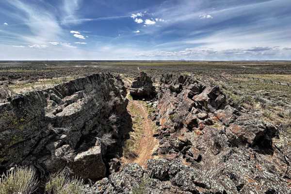
Noise Park - Outer 6 Miles loop
Noise ORV is single track trail loop and features whoops, volcanic rock, sand, and hard dirt. It can get quite dusty, so the best times to ride are early in the morning or after it has rained. Idaho ORV decals are required to ride. The trails are beginner and kid friendly. It's always windy. There i...
Learn more about Noise Park - Outer 6 Miles loop
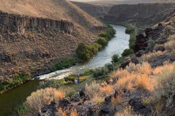
Idaho Falls to Wolverine Canyon
This route takes you from Idaho Falls up Bone Road, past the Bone Store, and up the Wolverine Canyon. It is a fun ride to take all year round for a Sunday drive or a quick ride up in the mountains. You drive past the old settlement of Ozone which was a fairly large city until a drought in 1920 made ...
Learn more about Idaho Falls to Wolverine Canyon
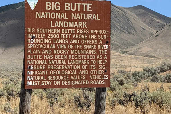
Cedar Butte Road to Big Southern Southside
This is a cutoff road from Cedar Butte to Big Southern Southside. You can access the old Goodale's Cutoff trail (Webb Springs trail), Big Southern Springfield Road headed south, or Atom Cox Well Road headed west. This is part of the easiest way to get to Frenchman's Cabin. It's an easily accessed, w...
Learn more about Cedar Butte Road to Big Southern Southside
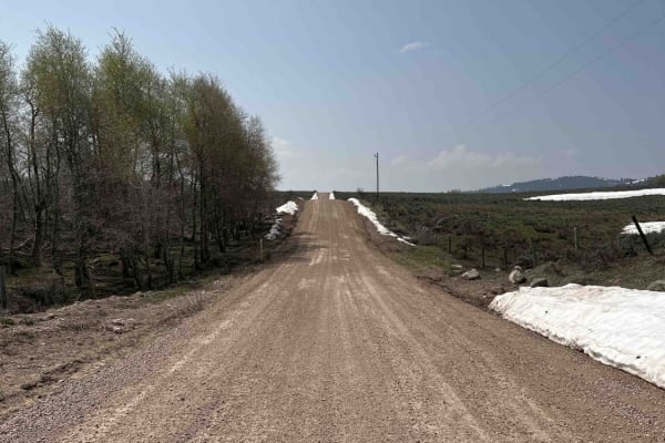
Bone to Wolverine Brush Creek Run
This route is easily passable by any overland rig and most family SUVs. It takes you through a mix of private cattle ranches and public land. You will pass through rolling sagebrush hills and several campsites, including a BLM campground. The latter half of the trail borders the Blackfoot River Cany...
Learn more about Bone to Wolverine Brush Creek Run
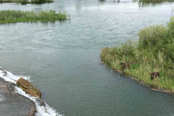
Idaho Falls to Fall Creek Falls
This trail is an easy trail and a more scenic and fun route to Fall Creek Falls. Fall Creek Falls is a beautiful waterfall where Fall Creek meets the South Fork of the Snake River. It travels from Bone Road through the Tex Creek Wildlife Management Area all the way to Fall Creek Falls. Spring is the...
Learn more about Idaho Falls to Fall Creek Falls
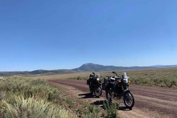
Bone to Caribou Loop
This route takes you from Bone Road to the Caribou Loop. It is in a gorgeous valley with mountains to the West that stay green year-round and are very pretty as the leaves turn in the fall. It may be tempting to take Blackfoot Reservoir Road to access Grey's Lake and the reservoir as it is more of a...
Learn more about Bone to Caribou Loop
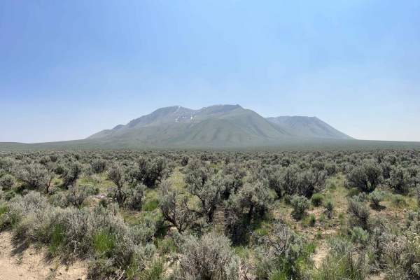
Atomic City to Frenchman's Cabin
This route will take you from the main highway to Big Southern Butte. If you have not been to Big Southern Butte, it is worth the trip. The butte is one of the largest volcanic domes in the world and is the largest on the Snake River Plain. There are obsidian deposits that are easily seen in the spr...
Learn more about Atomic City to Frenchman's Cabin
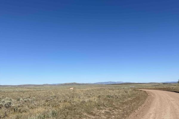
Cranes Flat Cutoff
This trail is a graded gravel cutoff road between Blackfoot Reservoir Road and Bone / Grays Lake Road. It is a generally smooth road through a mix of private cattle ranches and public land. It provides quick access to the Brockman and Caribou Basin areas from Wolverine Canyon and Brush Creek roads,...
Learn more about Cranes Flat Cutoff
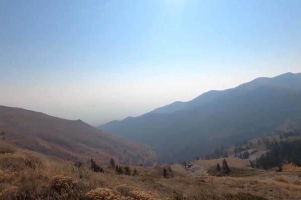
Scout Mountain
Scout Mountain Road is a scenic 11.5-mile drive south of Pocatello, Idaho traversing the Caribou-Targhee National Forest. The route climbs roughly 3,000 feet, winding through pine and aspen forests to offer panoramic views of the Portneuf Range. The surface consists of well-maintained dirt and grave...
Learn more about Scout Mountain
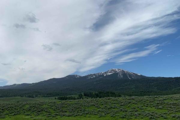
Dans Creek to Caribou Basin
This route takes you next to the Caribou Range just outside of Idaho Falls. The ride starts with beautiful, sweeping views of Gray's Lake outlet, which is lush and green well into August and is a habitat for bald and golden eagles and other wildlife. After winding along the West side of the Caribou ...
Learn more about Dans Creek to Caribou Basin
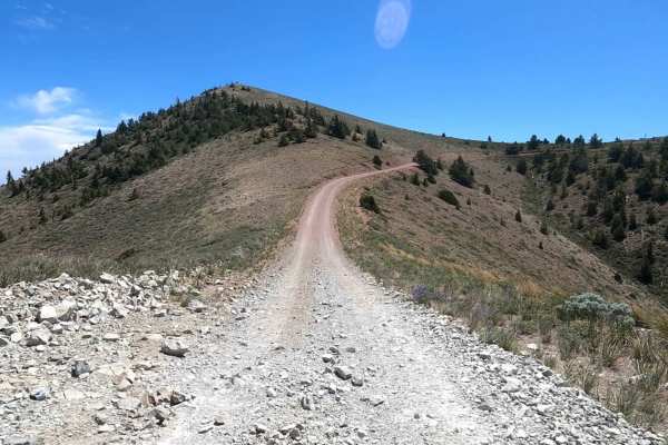
Big Southern Butte
This is an amazing ride. It is intermittently covered with decomposing granite for traction and can be fairly rough. It is well maintained as it still has a working tower. Sheer drop-offs are not for the faint-hearted. It's like a one-way Pikes Peak, just not as many switchbacks. The ride is easy. T...
Learn more about Big Southern Butte
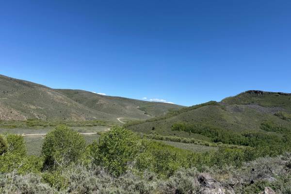
Horse Creek
Horse Creek is an easy and scenic gravel road that connects Dan Creek Road with Greys Lake/Long Valley Road, providing a convenient route between several recreation areas. The trail offers excellent views of Pine Mountain and travels through a mix of forested terrain and open mountain landscapes, ma...
Learn more about Horse Creek
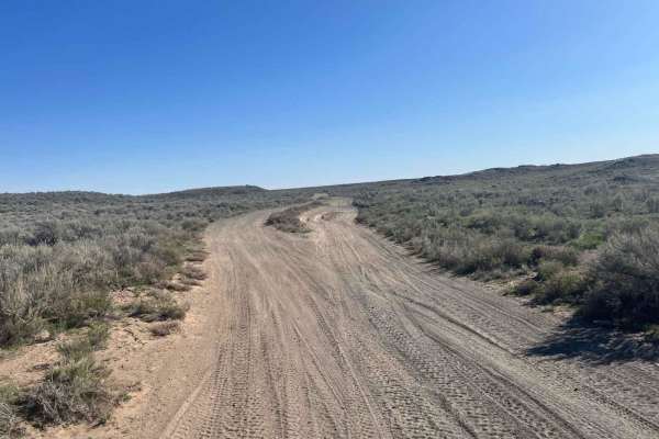
Market Canal Road
Market Canal Road is a simple trail that takes you through the sagebrush just west of the Menan Butte. The trail is wide and mostly flat with sections of lava rock and sand but offers several obstacles along the way for more of a challenge. This is a great location to enjoy in the evening as the sun...
Learn more about Market Canal Road
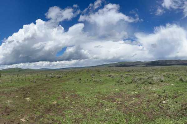
Gray's Lake Outlet
This route will take you off Brockman Road to the Gray's Lake Outlet Area. It is a very grassy area that is home to fish, sandhill cranes, and lots of other birds, as it is a wildlife refuge. There are great views of Caribou Mountain and in the later fall, it would be great for camping. Be sure to b...
Learn more about Gray's Lake Outlet
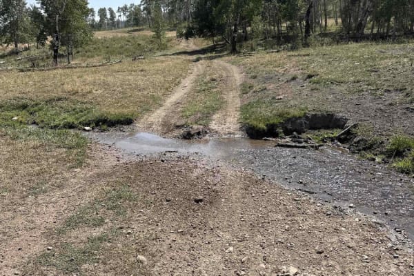
Indian Creek - Cow Camp
This is the most easily runnable Public-Land only route from 10 Mile Pass / Indian Creek area to the Cow Camp area. It is all dirt starting from the Indian Creek trailhead off of 10-mile pass road. This route skirts the northeastern base of the Chesterfield range. You will pass through a variety of...
Learn more about Indian Creek - Cow Camp
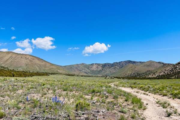
Arco Hills Road
This is an odd little trail out through a valley outside of Arco. It's just off the main highway, and the turn-off is at a funny angle that is easily missed. If you are looking for dispersed camping, cross the cattle guard and make the right at the first Y in the trail. Just over the hill is a very ...
Learn more about Arco Hills Road
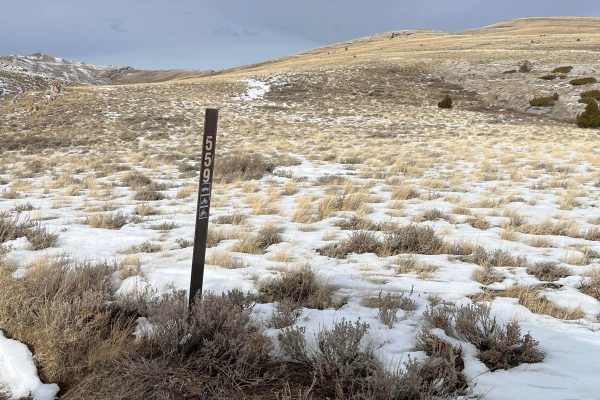
Jump Off Peak
Jump Off Peak is best accessed through wood canyon, by way of Arco. Wood Canyon itself is fairly tight and narrow, but once you reach the cutoff to the peak you will be on top of the ridge and exposed. If there is snow, it will be drifted deep in the road. The road is mostly dirt-based with some roc...
Learn more about Jump Off Peak
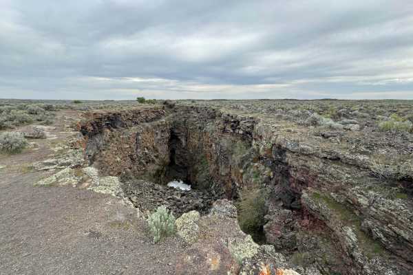
Bear Trap/Crystal Ice Cave Trail
This dirt road follows the route from Bear Trap Cave to Crystal Ice Caves and King's Bowl. The route can be traveled in either direction, as it is accessed by various BLM roads and trails. Watch for the deep chasm of King's Bowl Rift as you near the Wapi Lava Flow. In the 1970s, people often crowded...
Learn more about Bear Trap/Crystal Ice Cave Trail
Beginner ATV trails near Moreland, Idaho
Explore ATV-friendly trails near you. These trails are accessible for vehicles up to 50 inches wide, perfect for ATVs and smaller off-road machines.
Springfield to Big Southern Butte
This scenic 26.3-mile point-to-point trail is ideal for beginner to intermediate offroaders looking to explore the historic Snake River Plain while taking in views of the iconic Big Southern Butte. Running from Springfield, Idaho, up toward the towering volcanic dome of Big Southern Butte, the route...
Learn more about Springfield to Big Southern Butte
Bear Trap Cave North
Bear Trap Cave is one of many lave caves located in southeast Idaho. This trail begins from Coffee Point and winds southwest across the desert to the Bear Trap cave. It is a relatively easy-going trail, with a mostly dirt road that is only challenging in snow or mud. There are plenty of scenic oppor...
Learn more about Bear Trap Cave North
Idaho Falls to Wolverine Canyon
This route takes you from Idaho Falls up Bone Road, past the Bone Store, and up the Wolverine Canyon. It is a fun ride to take all year round for a Sunday drive or a quick ride up in the mountains. You drive past the old settlement of Ozone which was a fairly large city until a drought in 1920 made ...
Learn more about Idaho Falls to Wolverine Canyon
Bone to Wolverine Brush Creek Run
This route is easily passable by any overland rig and most family SUVs. It takes you through a mix of private cattle ranches and public land. You will pass through rolling sagebrush hills and several campsites, including a BLM campground. The latter half of the trail borders the Blackfoot River Cany...
Learn more about Bone to Wolverine Brush Creek Run
Beginner UTV/side-by-side trails near Moreland, Idaho
Find UTV and side-by-side trails near you. These trails accommodate vehicles up to 60 inches wide, ideal for UTVs, side-by-sides, and wider off-road rigs.
Springfield to Big Southern Butte
This scenic 26.3-mile point-to-point trail is ideal for beginner to intermediate offroaders looking to explore the historic Snake River Plain while taking in views of the iconic Big Southern Butte. Running from Springfield, Idaho, up toward the towering volcanic dome of Big Southern Butte, the route...
Learn more about Springfield to Big Southern Butte
Bear Trap Cave North
Bear Trap Cave is one of many lave caves located in southeast Idaho. This trail begins from Coffee Point and winds southwest across the desert to the Bear Trap cave. It is a relatively easy-going trail, with a mostly dirt road that is only challenging in snow or mud. There are plenty of scenic oppor...
Learn more about Bear Trap Cave North
Idaho Falls to Wolverine Canyon
This route takes you from Idaho Falls up Bone Road, past the Bone Store, and up the Wolverine Canyon. It is a fun ride to take all year round for a Sunday drive or a quick ride up in the mountains. You drive past the old settlement of Ozone which was a fairly large city until a drought in 1920 made ...
Learn more about Idaho Falls to Wolverine Canyon
Bone to Wolverine Brush Creek Run
This route is easily passable by any overland rig and most family SUVs. It takes you through a mix of private cattle ranches and public land. You will pass through rolling sagebrush hills and several campsites, including a BLM campground. The latter half of the trail borders the Blackfoot River Cany...
Learn more about Bone to Wolverine Brush Creek Run
The onX Offroad Difference
onX Offroad combines trail photos, descriptions, difficulty ratings, width restrictions, seasonality, and more in a user-friendly interface. Available on all devices, with offline access and full compatibility with CarPlay and Android Auto. Discover what you're missing today!
Open Trail Map