
Beginner Off-Road Trails
Near Mooers, New York
Explore All Beginner Trails Near Mooers, New York
Beginner Off-Road Trails Near Mooers, New York
Discover the best beginner-friendly off-road trails near you. These easier, lower-rated trails are a great place to start — browse trail maps, check difficulty ratings, and find your next adventure.
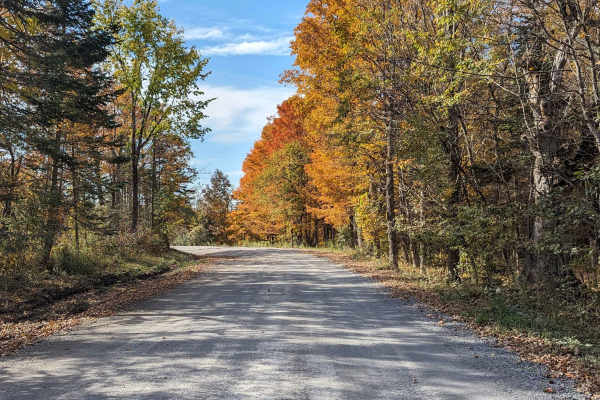
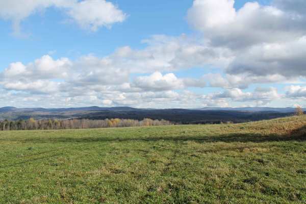
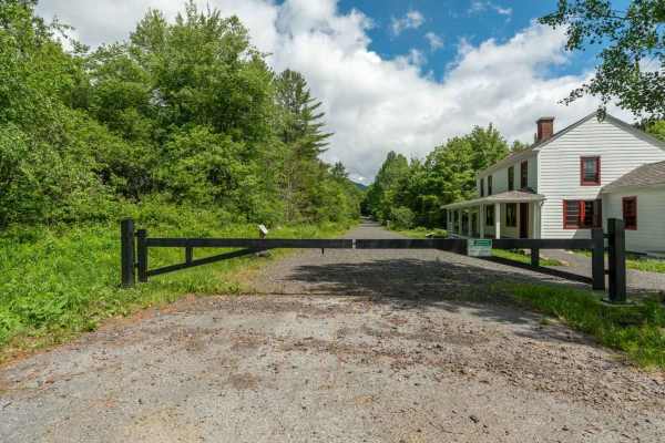
Explore Vermont
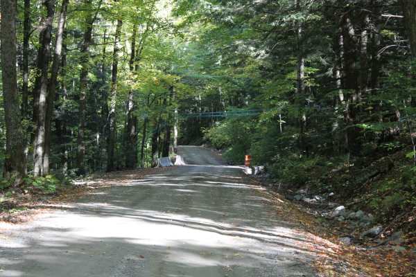
This route is comprised of Vermont dirt farm roads and some class 4 roads. This scenic drive samples some of northern Vermont's beautiful country settings and looks into the farming community. It is not a very technical drive, just very beautiful and enjoyable. Great drive during the summer but the ...
Learn more about Explore Vermont

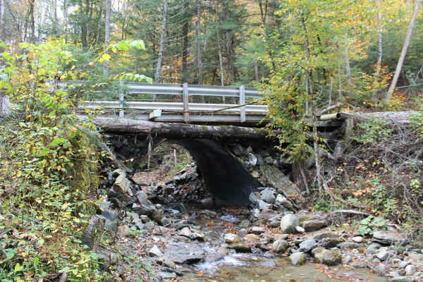
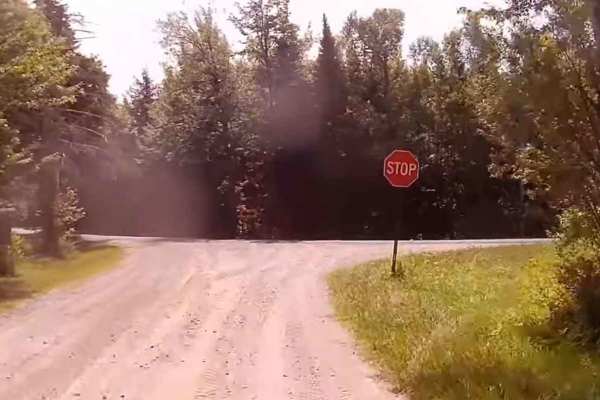
Lake Glen Road
This is a nice ride through the backwoods of the Lake Placid area. Most of the surrounding area on the western end is owned by a forest products company and they have blocked side trail access. The trail takes you around the southern flank of 3,550-foot Saddleback Mountain through the Adirondack For...
Learn more about Lake Glen Road
St. Lawrence County Multi-Use Trail - Brasher Connector
Sections of this trail require a county trail pass. This trail is 40 Miles. It is a combination of gravel and some pavement which was established by St. Lawrence County, New York, for ATV/UTV use. There are County Forest parcels with a lot of local wildlife viewing opportunities. This is a typical A...
Learn more about St. Lawrence County Multi-Use Trail - Brasher Connector
Rutland Trail
This is an old rail bed section that runs from Brasher to Norwood. Gravel and stone with some rough, rocky, and wet sections. Lots of views of wetlands and the inhabitants. It's an out-and-trail with connections to the county multiuse trail. Parking in Brasher with stores there and in Winthrop.Suita...
Learn more about Rutland Trail
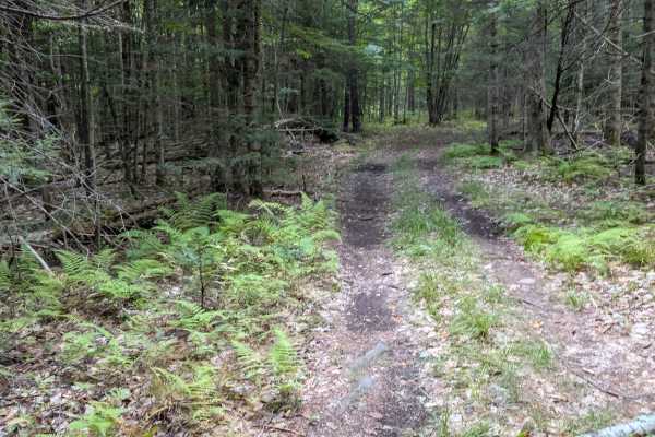
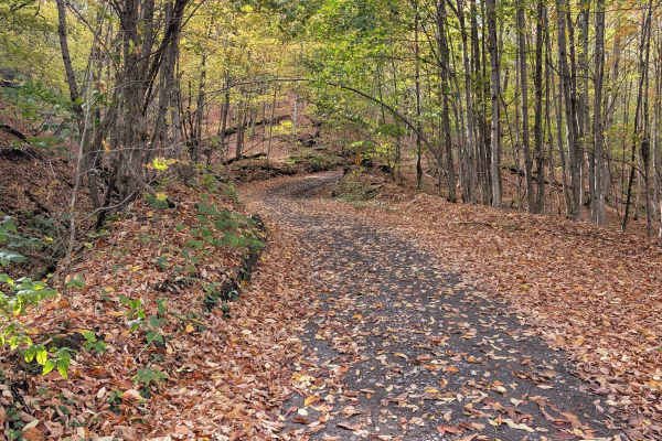
SLC-Forest-20
This is a 50" Trail on Saint Lawrence County Parcel 20. Heavily wooded forest, dirt trail. Easy and fun to ride, allowing for observation of nature and wildlife. Part of the original County Pilot Trail, formed 20 years ago to promote ATV riding in the county. It is a "multiuse trail" open to hor...
Learn more about SLC-Forest-20
Big Hollow Road
Starts as a Vermont Farm gravel road, then transitions to a standard class 4 road with some small obstacles. You will pass some abandoned homes and a lot of maple sugaring equipment. best to avoid this trail during the spring sugaring season. At the halfway point, the road will narrow, and you will ...
Learn more about Big Hollow Road
Catherineville State Forest Road
This is a gravel, New York State Forest Road open to all registered motorized vehicles, bicycles, and hikers. It's mostly open, hardwood forest, easy navigation, with many opportunities for wild game observation, and is available for remote tent or small vehicle camping. Deer and bear are the large ...
Learn more about Catherineville State Forest Road
Edan Road
This is a very scenic drive that cuts through a wilderness management area and logging land. This trail was recently regraded for a logging operation so it's in great shape. There are some low wet spots, but they have a hard bottom and can be driven around. The only real challenge is the washed-out ...
Learn more about Edan Road
Santamont Road
This well-maintained gravel road in the town of Hopkinton is open to all registered, motorized vehicles. It connects from the Lake Ozonia Road multi-use trail to the Sylvan Falls Road part of the county multi-use trail system. It passes through a remote forested area with beaver ponds and other wild...
Learn more about Santamont Road
Cassidy Road
This trail is a seasonal gravel road in the Town of Hopkinton that connects White Hill Road to the Jones Road section of the county multi-use trail. It is not plowed in winter and receives minimal maintenance, remaining relatively flat and straight as it passes through remote forest land with opport...
Learn more about Cassidy Road
Symonds Mill Road
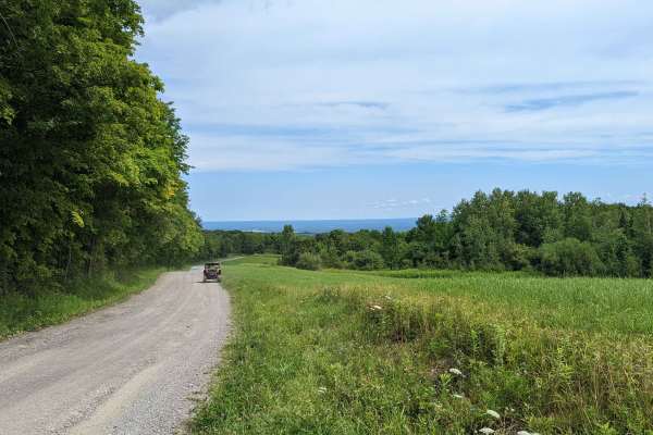
A very scenic Vermont back road drive. Road surface was mostly packed gravel with some muddy section. These are mainly farm roads so be on the look out for farm equipment or live stock . This pairs well with Woodbury mountain road if in a vehicle capable of the trail. Or it's a great drive on it's o...
Learn more about Symonds Mill Road
Jones Road
This 2.25 mile route of minimally maintained gravel and town road is open to all registered motorized vehicles. It connects sections of the St. Lawrence County Multi-Use Trail, has some great views of the St. Regis River in the town of Hopkinton, and has some excellent opportunities for wildlife vie...
Learn more about Jones Road
Clear Pond Road
This is a public access gravel road into Clear Pond. Some great views along the road, and Clear Pond has great Brook Trout fishing opportunities. Easy access to most any vehicle on a minimum-maintenance road. All surrounding acreage is NY State Forest within the Adirondack State Park. Many trail...
Learn more about Clear Pond Road
SLC-Forest-12
This is a 50-inch rail on St. Lawrence County Parcel 20. This is a heavily wooded forest, dirt trail. Easy and fun to ride, observing nature and wildlife. Part of the original County Pilot Trail, formed 20 years ago to promote ATV riding in the county. It is a "multiuse trail" open to horses, hiking...
Learn more about SLC-Forest-12
SLC-FOREST-14
This is a 50" Trail on St. Lawrence County Parcel 20. Heavily wooded forest, dirt trail. Easy and fun to ride, observing nature and wildlife. Part of the original County Pilot Trail, formed 20 years ago to promote ATV riding in the county. It is a "multiuse trail" open to horses, hiking, bikes, ...
Learn more about SLC-FOREST-14
Goldmine Trail
This unmaintained gravel spur branches off Goldmine Road and the main easement access route. The road follows an old logging path, offering a rugged but navigable drive through forested terrain. Scattered along the route are a few primitive camping spots suitable for dispersed camping. A single wash...
Learn more about Goldmine Trail

SLC-TRAIL 21
This is a 50" Trail on St. Lawrence County Parcel 20. It is a heavily wooded forest, dirt trail. It is an easy and fun to ride, observing nature and wildlife. Part of the original County Pilot Trail, formed 20 years ago to promote ATV riding in the county. It is a "multiuse trail" open to horses, hi...
Learn more about SLC-TRAIL 21
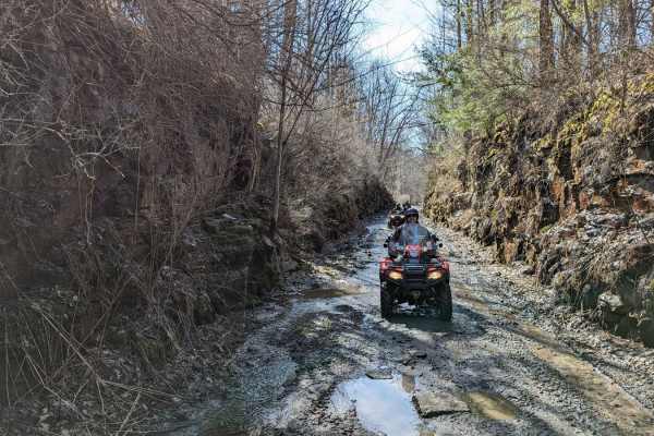
Goldmine Road
This trail is an unmaintained gravel road on the New York Goldmine Conservation Easement and provides a fun driving experience with wetlands and wildlife to see. The gravel road follows along the Rainbow Reservoir that was formed in the 1950s by a power generation project on the Raquette River. Loca...
Learn more about Goldmine Road
Upper Works Road - 25A
This easy gravel and graded dirt road provides access to the Upper Works trailheads and ends at a large parking area with a pit toilet. Along the way, you'll pass the historic McIntyre Blast Furnace, one of the remaining landmarks of Tahawus ghost town. While you can drive to the gate, you'll need t...
Learn more about Upper Works Road - 25A
SLC-9
This is a 60-inch trail on St. Lawrence County Parcel 20. Heavily wooded forest, dirt trail. Easy and fun to ride, observing nature and wildlife. Part of the original County Pilot Trail, formed 20 years ago to promote ATV riding in the county. It is a "multiuse trail" open to horses, hiking, bikes, ...
Learn more about SLC-9
Beginner ATV trails near Mooers, New York
Explore ATV-friendly trails near you. These trails are accessible for vehicles up to 50 inches wide, perfect for ATVs and smaller off-road machines.
St. Lawrence County Multi-Use Trail - Brasher Connector
Sections of this trail require a county trail pass. This trail is 40 Miles. It is a combination of gravel and some pavement which was established by St. Lawrence County, New York, for ATV/UTV use. There are County Forest parcels with a lot of local wildlife viewing opportunities. This is a typical A...
Learn more about St. Lawrence County Multi-Use Trail - Brasher Connector
Rutland Trail
This is an old rail bed section that runs from Brasher to Norwood. Gravel and stone with some rough, rocky, and wet sections. Lots of views of wetlands and the inhabitants. It's an out-and-trail with connections to the county multiuse trail. Parking in Brasher with stores there and in Winthrop.Suita...
Learn more about Rutland Trail
SLC-Forest-20
This is a 50" Trail on Saint Lawrence County Parcel 20. Heavily wooded forest, dirt trail. Easy and fun to ride, allowing for observation of nature and wildlife. Part of the original County Pilot Trail, formed 20 years ago to promote ATV riding in the county. It is a "multiuse trail" open to hor...
Learn more about SLC-Forest-20
Catherineville State Forest Road
This is a gravel, New York State Forest Road open to all registered motorized vehicles, bicycles, and hikers. It's mostly open, hardwood forest, easy navigation, with many opportunities for wild game observation, and is available for remote tent or small vehicle camping. Deer and bear are the large ...
Learn more about Catherineville State Forest Road
Beginner UTV/side-by-side trails near Mooers, New York
Find UTV and side-by-side trails near you. These trails accommodate vehicles up to 60 inches wide, ideal for UTVs, side-by-sides, and wider off-road rigs.
Rutland Trail
This is an old rail bed section that runs from Brasher to Norwood. Gravel and stone with some rough, rocky, and wet sections. Lots of views of wetlands and the inhabitants. It's an out-and-trail with connections to the county multiuse trail. Parking in Brasher with stores there and in Winthrop.Suita...
Learn more about Rutland Trail
Catherineville State Forest Road
This is a gravel, New York State Forest Road open to all registered motorized vehicles, bicycles, and hikers. It's mostly open, hardwood forest, easy navigation, with many opportunities for wild game observation, and is available for remote tent or small vehicle camping. Deer and bear are the large ...
Learn more about Catherineville State Forest Road
Santamont Road
This well-maintained gravel road in the town of Hopkinton is open to all registered, motorized vehicles. It connects from the Lake Ozonia Road multi-use trail to the Sylvan Falls Road part of the county multi-use trail system. It passes through a remote forested area with beaver ponds and other wild...
Learn more about Santamont Road
Cassidy Road
This trail is a seasonal gravel road in the Town of Hopkinton that connects White Hill Road to the Jones Road section of the county multi-use trail. It is not plowed in winter and receives minimal maintenance, remaining relatively flat and straight as it passes through remote forest land with opport...
Learn more about Cassidy Road
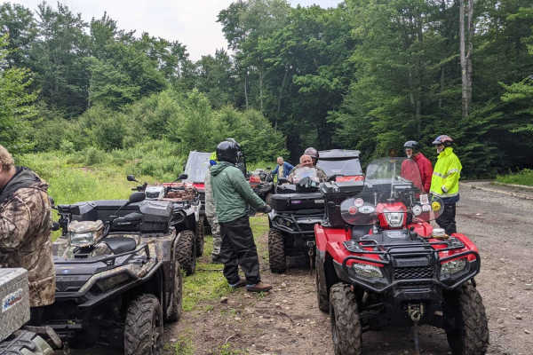
The onX Offroad Difference
onX Offroad combines trail photos, descriptions, difficulty ratings, width restrictions, seasonality, and more in a user-friendly interface. Available on all devices, with offline access and full compatibility with CarPlay and Android Auto. Discover what you're missing today!
Open Trail Map