
Beginner Off-Road Trails
Near Monroeton, Pennsylvania
Explore All Beginner Trails Near Monroeton, Pennsylvania
Beginner Off-Road Trails Near Monroeton, Pennsylvania
Discover the best beginner-friendly off-road trails near you. These easier, lower-rated trails are a great place to start — browse trail maps, check difficulty ratings, and find your next adventure.
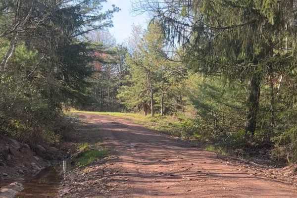
Kellogg Mountain House
Note: this route was only recorded in reverse (on the descent) it is an out-and-back route, there is a gate at the top. To my knowledge, you could continue exploring past the gate on foot or bicycle as this is all PA State Game Lands. The payoff at the top is that there is an abandoned fire tower ou...
Learn more about Kellogg Mountain House
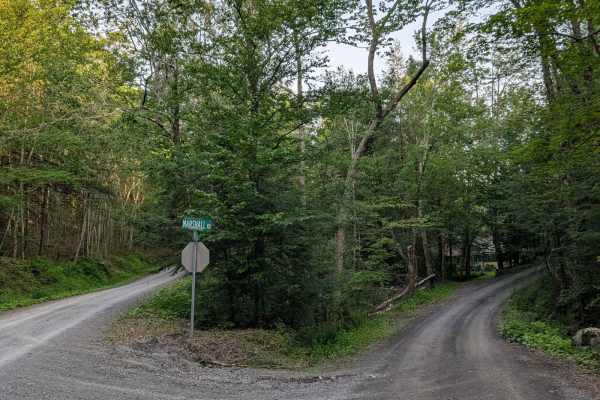
Marshall Road
Marshall Road is a winding, single-lane road through forest and field. There's potential for downed trees, but the road is otherwise well-maintained and has recently been graded. Check out the old one-room schoolhouse while you're passing through. Keep an eye out for wildlife in the area; deer, opos...
Learn more about Marshall Road
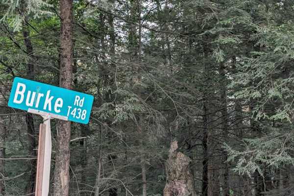
Burke Road
A recently graded gravel road through farmland just East of Overton. As you crest the road, you will be greeted with one of the most spectacular views of mountains off in the distance. You will be at such an elevation that you can begin to see the curvature of the Earth.
Learn more about Burke Road
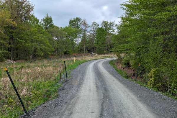
CCC Road
This is a short interconnect from Sunfish Pond County Park into Pennsylvania State Game Lands #12 Forest Road. Along the route, you will see many offshoots to gas wells and what looks like reforestation operations. Along the way, you'll see babbling brooks and beautiful mountain ranges off in the di...
Learn more about CCC Road
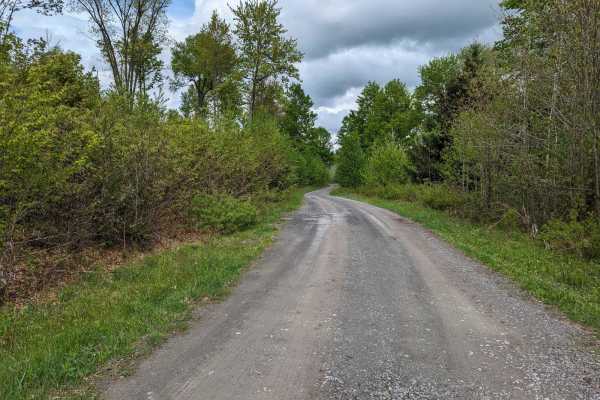
Barclay Road
This is a somewhat unmaintained road passing through Pennsylvania State Game Lands #12 in Bradford County, The road entrance is located just outside the town of LaQuin and starts with a narrow hill climb. Portions of the road have the potential for trees down and can be very narrow with limited plac...
Learn more about Barclay Road
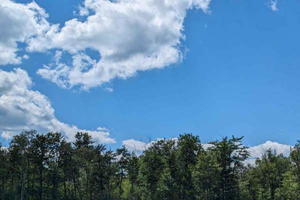
Loyalsock Road
This is a winding trail that passes Sones Pond in the eastern section of Loyalsock State Forest. The pond area has a small pavilion and leisure area if you need to stop for a snack, drink, etc. You will encounter beautiful scenery along the way and see some reforestation. There are several switchbac...
Learn more about Loyalsock Road
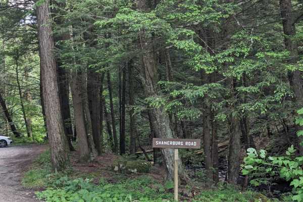
Shanerburg Road
Shanerburg Road is a long winding trail that will pass you by several streams with a 1-lane bridge. The trail passes through much of the forest--it's longer than you'd think. The road has a few potholes but is generally well maintained with areas to pass and pull-offs along the way.
Learn more about Shanerburg Road
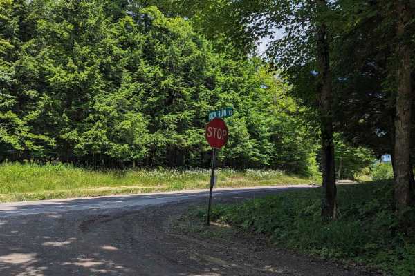
Rock Run Road
This is an easy trail on the eastern side of Loyalsock State Forest which winds down outside of LaPorte. Along the way, you will see several small waterfalls with a few narrow sections to traverse. There are also several pull-offs and forest areas to see. The road is very well-maintained with few to...
Learn more about Rock Run Road
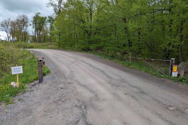
State Game Road
This is a long dirt/gravel road leading through the western portion of Pennsylvania State Game Lands #12 with a few great views of mountains off in the distance, small creeks, and other wildlife. Reforestation is in progress and there are several offshoots to gas wells. There is a small chance of sm...
Learn more about State Game Road
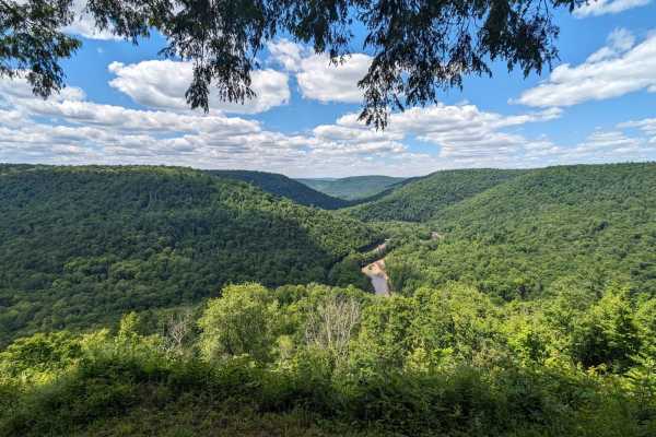
Cold Run Road
This is a twisting hill climb to the vista overlook of Loyalsock Creek and the rock garden where you can stop to use facilities, seating areas, and parking. Along the remainder of the route, you will see forest scenery with access to trailheads and several more parking areas. The route appears to be...
Learn more about Cold Run Road
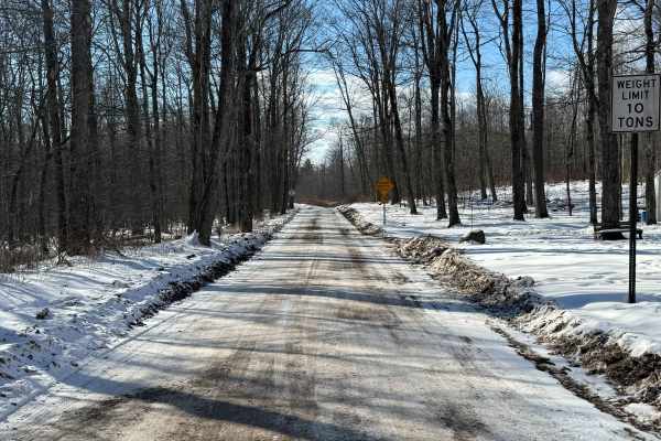
Dry Run Road
Dry Run Road is primarily a graded gravel road. It is an easy ride in the summer months; however, there is no winter maintenance. During times of rain, snow, and ice, the road can become rutted and harder to travel on. Dry Run Road is within Loyalsock State Forest. There are numerous spots to stop a...
Learn more about Dry Run Road
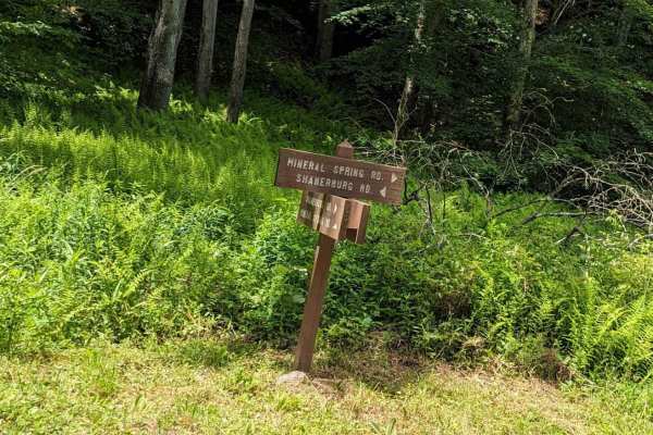
Mineral Spring Road
Essentially a connector between Shanerburg Road and Worlds End State Park, this trail has some narrow bridges and potholes but no major obstacles. There are a couple of places to pull off if needed and the road is generally 1.5 vehicles wide. Use caution as you near Worlds End State Park, as other d...
Learn more about Mineral Spring Road
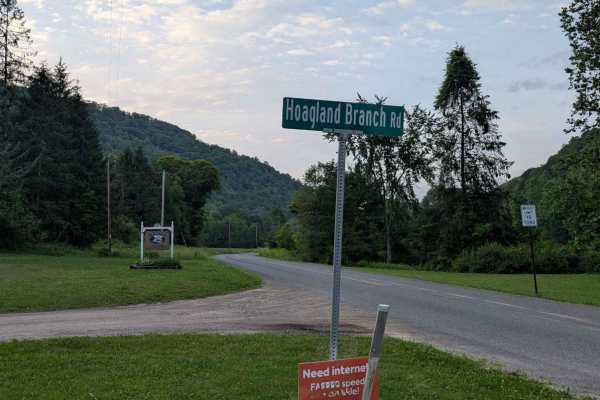
Hoagland Branch Road
A well-maintained trail winds through Loyalsock State Forest along a Hoagland Branch. Several bridges over a creek bed provide beautiful, scenic views. Several hunting cabins and farms are along the route. There is potential for downed trees or washouts. Wildlife is very abundant in this area in the...
Learn more about Hoagland Branch Road
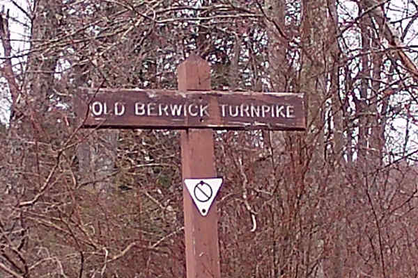
Old Berwick Turnpike
This trail is a convergence point with two other trails. It is a typical Graded Gravel road within the Loyalsock State Forest. It is an up-and-back trail that runs to a dead end. There are plenty of parking spaces and turnarounds. The trail is surrounded by big timber oak trees and tall pines, and p...
Learn more about Old Berwick Turnpike
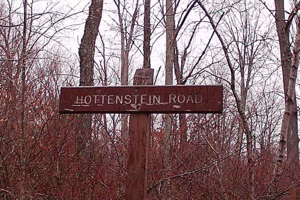
Hottenstein Road
This trail is a typical up-and-back, graded-gravel road within the Loyalsock State Forest. It is connected to two other trails, Masonite Road and Old Berwick Turnpike. The trail is surrounded by a variety of tall pines and big timber. There is plenty of wildlife surrounding this trail. Plenty of par...
Learn more about Hottenstein Road
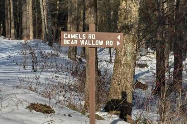
Camel's Road
Camel's Road is primarily a graded gravel road. It is an easy ride in the summer months; however, there is no winter maintenance. During times of rain, snow, and ice, the road can become rutted and harder to travel on. Camel's Road is within Loyalsock State Forest. There are numerous spots to stop a...
Learn more about Camel's Road
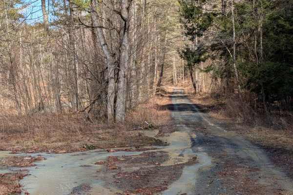
Stone Jug Road
Stone Jug Road is very low maintenance, connecting Windham, Pennsylvania (Bradford County, Pennsylvania), and East Nichols, New York (Tioga County, New York), of about 3 miles. Terrain is somewhat varied with small washes, downed trees, and other obstructions possible. Winter provides no maintenance...
Learn more about Stone Jug Road
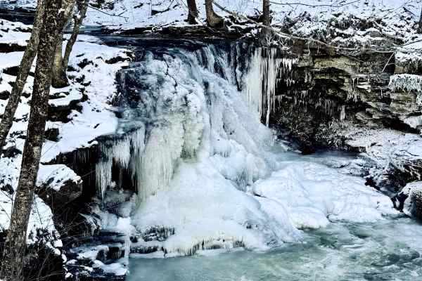
Dry Run Road
This light gravel road runs from High Knob Road along Dry Run inside Loyalsock State Forest. The 6.8-mile out-and-back trip (if you continue further down the road, you will encounter the state park facilities/watershed area) takes you along Dry Run, and there is parking to view the falls up close.
Learn more about Dry Run Road
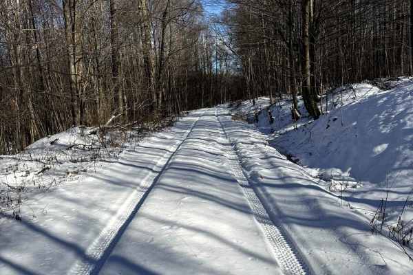
McCarty Road
This gravel road runs from the entrance off of Dry Run Road and heads further into the State Park. This trail is narrow, be mindful when traveling in groups and of oncoming vehicles. Be sure to check the signage, as it is not guaranteed to be the same as posted here. At the time of posting, this is ...
Learn more about McCarty Road
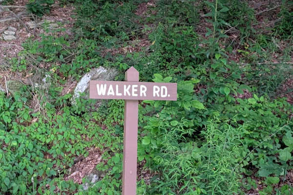
Walker Road
Walker Road is a very well-maintained gravel base road through Loyalsock State Forest. There are several blind turns and other wildlife in the area. There is potential for small washouts or downed trees. Generally, it is a very easy and peaceful ride with few challenges. The road was recently graded...
Learn more about Walker Road
Beginner ATV trails near Monroeton, Pennsylvania
Explore ATV-friendly trails near you. These trails are accessible for vehicles up to 50 inches wide, perfect for ATVs and smaller off-road machines.
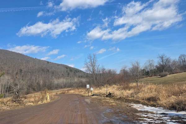
10 Speed
10 Speed is a short trail connecting the Hills Creek Lake area to the Ives Run Lake area. It is mostly comprised of dirt, which is exceptionally muddy during snow melt or rain. The trail follows along Crooked Creek and contains multiple stops to observe the various nature and wildlife preserves main...
Learn more about 10 Speed
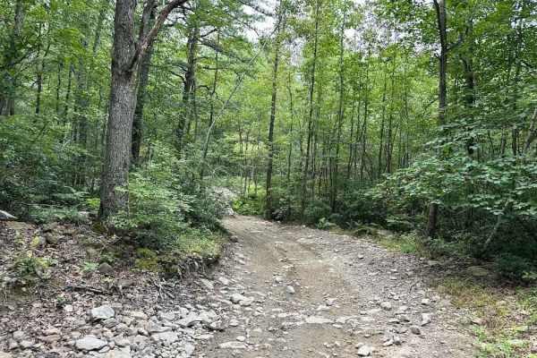
20 Green - A
20 Green has a wide variety of terrain including rocky sections, off-camber areas, slight up-and-down slopes, shallow water crossings, and muddy obstacles. Along the way on this uneven, loose gravel trail, you find a wooden bridge that is able to be crossed. Please follow the signs, be safe, and slo...
Learn more about 20 Green - A
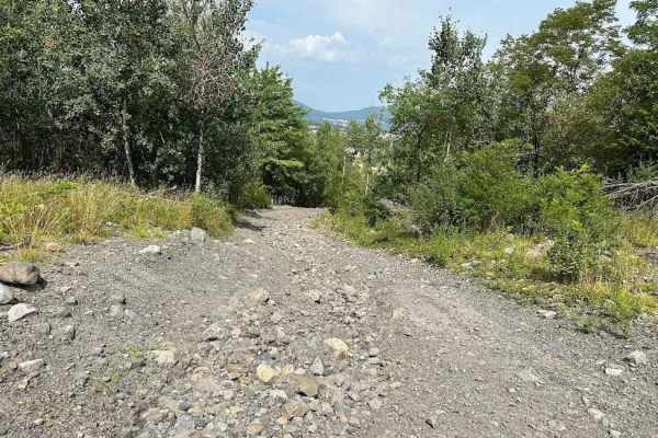
Practice Area
The practice area is a small play area just inside of the park. It is a great area to get warmed up or to let the kids get comfortable. The trail is on the easier side with a wide open flat spot and small loose rock trail sections.
Learn more about Practice Area
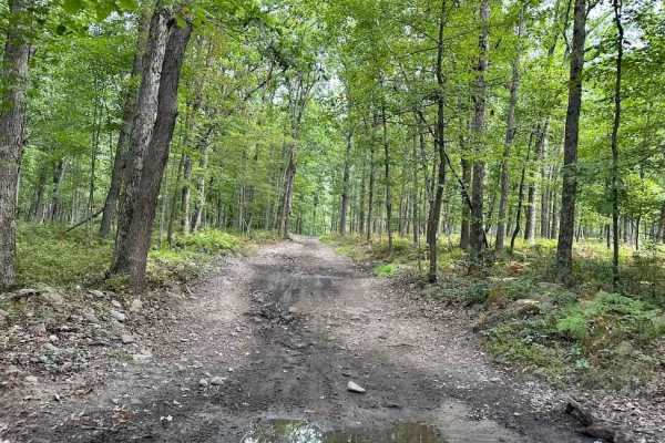
Jason's Journey Green
Jason's Journey Green is a wooded trail that is a relatively dirt trail with various small rocks scattered throughout the trail. There are shallow water and muddy obstacles that you may barely notice however, if rain has been in the forecast the depth might be a bit more exciting.
Learn more about Jason's Journey Green
Beginner UTV/side-by-side trails near Monroeton, Pennsylvania
Find UTV and side-by-side trails near you. These trails accommodate vehicles up to 60 inches wide, ideal for UTVs, side-by-sides, and wider off-road rigs.
10 Speed
10 Speed is a short trail connecting the Hills Creek Lake area to the Ives Run Lake area. It is mostly comprised of dirt, which is exceptionally muddy during snow melt or rain. The trail follows along Crooked Creek and contains multiple stops to observe the various nature and wildlife preserves main...
Learn more about 10 Speed
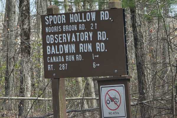
Observatory Road
This trail is a dirt road connecting Baldwyn Run Road with Norris Brook Road. The trail is easy to drive in dry conditions, but passes through multiple streams and wet areas, which create a lot of mud, washouts, and rutted areas. The entire trail is plagued with fallen trees due to the soft ground c...
Learn more about Observatory Road
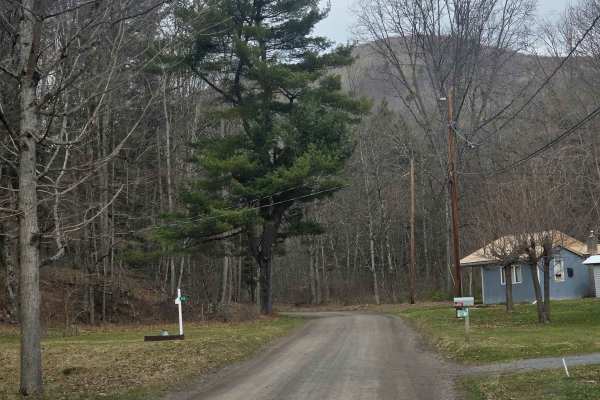
Straight Run Road
This trail begins in the town of Marsh Creek, beginning at the old Fish Hatchery before entering Tioga State Forest and traveling north following Marsh Creek. The trail is composed of dirt and is easy to travel during dry conditions. Steady rain causes overflowing in many of the areas along the cree...
Learn more about Straight Run Road
20 Green - A
20 Green has a wide variety of terrain including rocky sections, off-camber areas, slight up-and-down slopes, shallow water crossings, and muddy obstacles. Along the way on this uneven, loose gravel trail, you find a wooden bridge that is able to be crossed. Please follow the signs, be safe, and slo...
Learn more about 20 Green - A
The onX Offroad Difference
onX Offroad combines trail photos, descriptions, difficulty ratings, width restrictions, seasonality, and more in a user-friendly interface. Available on all devices, with offline access and full compatibility with CarPlay and Android Auto. Discover what you're missing today!
Open Trail Map