
Beginner Off-Road Trails
Near Marion, Kentucky
Explore All Beginner Trails Near Marion, Kentucky
Beginner Off-Road Trails Near Marion, Kentucky
Discover the best beginner-friendly off-road trails near you. These easier, lower-rated trails are a great place to start — browse trail maps, check difficulty ratings, and find your next adventure.
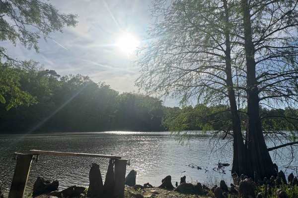
Whoopie Cat Lake Trail
Whoopie Cat Lake Trail is a gravel road within Shawnee National Forest that leads to a quiet lake access point with a small gravel boat ramp and parking area. The route is easy to follow and consists of typical forest gravel terrain. The launch area is best suited for small boats, kayaks, canoes, an...
Learn more about Whoopie Cat Lake Trail
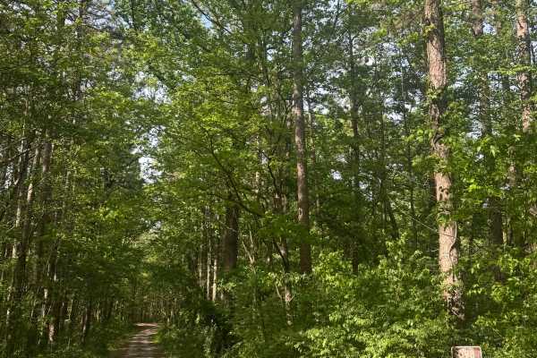
Cadiz Campground Trail
The Cadiz Campground Trail begins within Shawnee National Forest at Cadiz Campground, a primitive-style campground that offers designated campsites with fire pits, restroom facilities, and a water fill spigot. The route starts as a maintained gravel road and provides easy access from within the camp...
Learn more about Cadiz Campground Trail
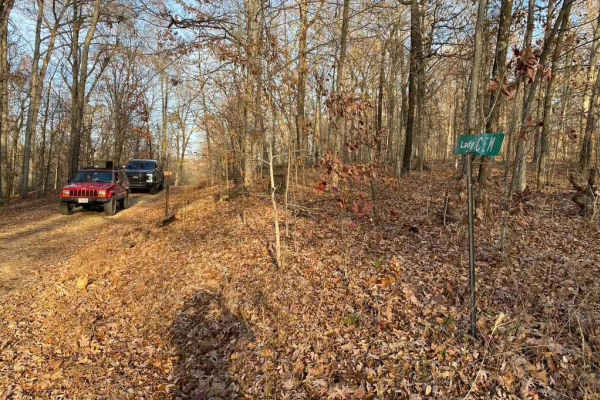
Lady Cemetery FSR 128
Lady Cemetery FSR 128 is a simple gravel forestry road that is in the Land Between The Lakes National Recreation Area. It traverses over rolling hills, minor washboarding, natural rocks poking through the surface, and potholes, in spots the road may fade into being partially dirt. It is located in t...
Learn more about Lady Cemetery FSR 128
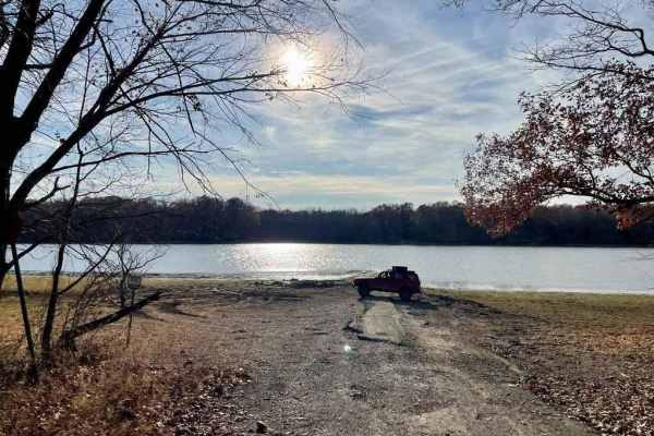
Davenport Bay FSR 127B
The Davenport Bay FSR 127B is a degrading old back top road that leads to the water's edge in Land Between The Lakes National Recreation Area. The road at one point must have been a decent blacktop road leading to the water for boat launching but has degraded heavily to give a unique offroading expe...
Learn more about Davenport Bay FSR 127B

Kuttawa Landing FSR 127
Kuttawa Landing FSR 127 is a gravel forestry road that travels to the northernmost point of the Land Between The Lakes Recreation Area. It features mild rutting, gravel turning to mud in places, small water collection spots, and a few small grades leading you back to a boat landing/ramp, on the nort...
Learn more about Kuttawa Landing FSR 127

Goose Ridge Trail
Goose Ridge Trail is a gravel route within Shawnee National Forest that offers a straightforward out-and-back drive through forest terrain. The road is generally easy to follow, with some ruts that may develop after rainfall and occasional tree limbs overhanging the route. This trail provides a rela...
Learn more about Goose Ridge Trail
River to River Trail
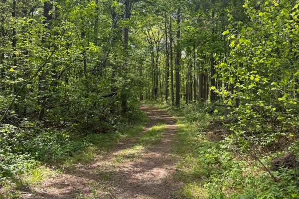
River to River Trail is a gravel route within Shawnee National Forest that provides access to backcountry hiking and equestrian trails. The road is generally easy to follow and travels through a more remote section of the forest, offering a quieter experience for those looking to explore beyond main...
Learn more about River to River Trail
Crossroad Church - FS 123
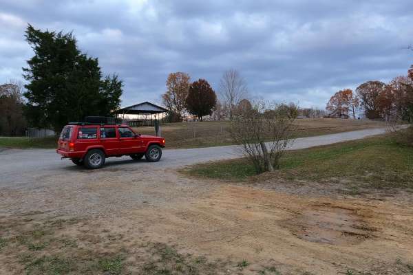
Crossroad Church Road (FS 123), or as it was formerly, the Old Kentucky Route 289, once paved, is now a broken pavement, mended with gravel forest service road, through the northeast corner of the Kentucky section, Lake Barkley side, of the Land Between the Lakes National Recreation Area. The road s...
Learn more about Crossroad Church - FS 123
Rimshot FSR 124
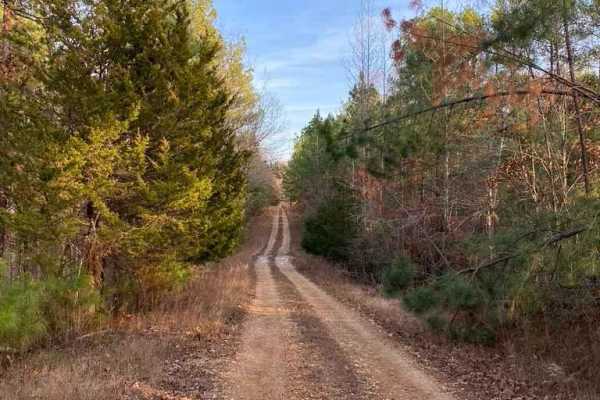
The Rimshot FSR 124 is a forestry gravel road through Land Between The Lakes National Recreation Area. The road is partially well maintained on the southern end with the northern half showing decent wear and degradation. The road fades into partial dirt in a few areas and includes medium grades, min...
Learn more about Rimshot FSR 124

Shelby Cemetery Trail
Shelby Cemetery Trail is a route within Shawnee National Forest that begins as a gravel road before transitioning into a narrower path with mud, grass, and increasing vegetation overgrowth. At the beginning of the trail, there is an old cemetery along with access to hiking trails and a small primiti...
Learn more about Shelby Cemetery Trail
One Horse Gap Lake Trail
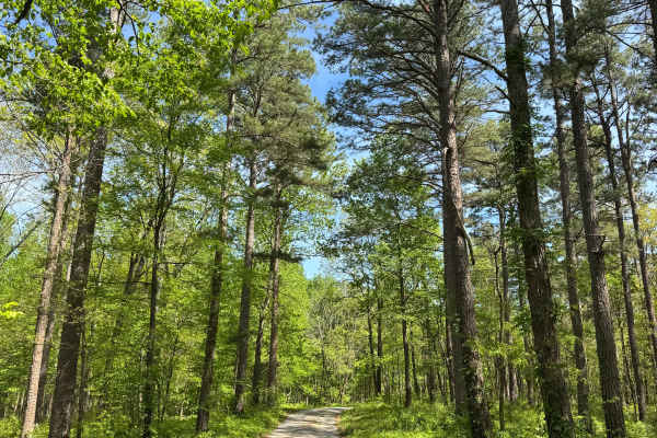
One Horse Gap Lake Trail is a gravel road within Shawnee National Forest that leads to a quiet lakeside access point with several primitive camping opportunities along the way. The route is easy to follow and suitable for most 2WD vehicles, though sections of tree overhang may limit clearance for ta...
Learn more about One Horse Gap Lake Trail
Bethlehem Cemetery - FS 122
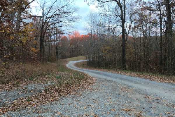
Bethlehem Cemetery Road (FS 122) is a Forest Service Road, paved for the first 0.6 mile western section, transforming next into a 1-mile-long gravel eastern section, placed in the northeast corner of the Kentucky section, Lake Barkley side, of the Land Between the Lakes National Recreation Area. The...
Learn more about Bethlehem Cemetery - FS 122

High Knob Trail
High Knob Trail is a gravel route within Shawnee National Forest that travels through an equestrian campground before climbing to a scenic overlook. Drivers should use caution when passing through the campground area, yielding to horses and minimizing speed and dust. The trail gradually gains elevat...
Learn more about High Knob Trail

Dutton Chapel Road
Dutton Chapel Road is a gravel route within Shawnee National Forest that serves as a connector to other trails in the area, including Benham Hill Trail and One Horse Gap Lake Trail. The road is generally easy to follow and consists of typical forest gravel terrain. Along the route, drivers may encou...
Learn more about Dutton Chapel Road
Stephens Chapel Road - FSR 415
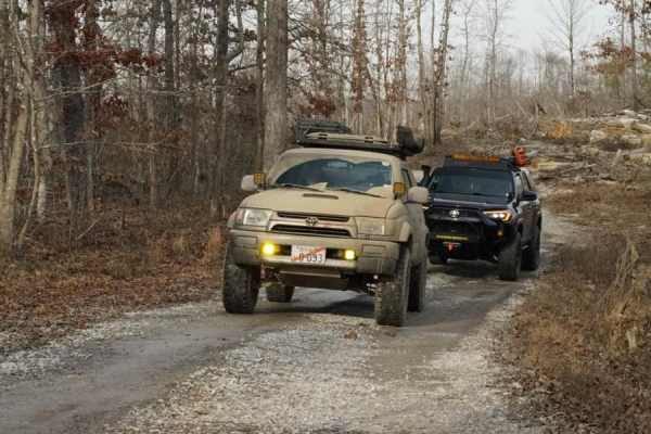
Stephens Chapel Road--415 is an extremely historic route that navigates directly to one of the last original standing structures within Land Between the Lakes National Recreation Area. The Road is a mix of dirt and gravel and is somewhat maintained. The church remains despite the 2021 tornadoes rava...
Learn more about Stephens Chapel Road - FSR 415
Smith Cemetery Spur Road FS 120A/120B
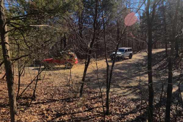
Smith Cemetery Spur Road FS 120A/120B is a gravel spur Forest Service road at the end of the FS 120. It is located in the north Kentucky section, Lake Barkley side, of the Land Between the Lakes National Recreation Area. Despite there being two roads, via unique spur IDs, they are truly one continuo...
Learn more about Smith Cemetery Spur Road FS 120A/120B

FSR 119
Forest Service Road 119 is a semi-maintained dirt and gravel road that connects FSR 112 and FSR 117 within the Land Between the Lakes National Recreation Area. It is on the northern portion of the park in the area known as 'Tornado Valley' after two tornadoes hit the park in 2021. The road is easily...
Learn more about FSR 119
Benham Hill Trail
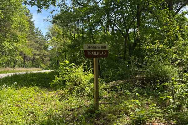
Benham Hill Trail is a gravel route within Shawnee National Forest that provides access to both recreational driving and nearby equestrian and hiking trail systems. The route begins at a large parking area designed for equestrian use, offering space for trailers and staging before entering the trail...
Learn more about Benham Hill Trail
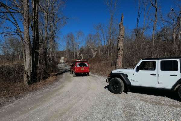
Smith Cemetery Road - FS 120
Smith Cemetery Road FS 120 is a gravel forestry road through the northern Kentucky section, Lake Barkley side, of the Land Between the Lakes National Recreation Area. The Smith Cemetery is a gravel road coming off the Tornado Valley/Brandon Chapel Road FS 112. It begins in the valley bottoms leading...
Learn more about Smith Cemetery Road - FS 120
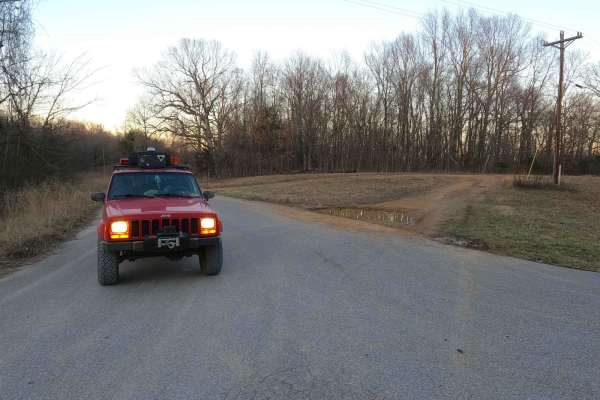
Nickell Branch - FS 102
Nickell Branch FS 102 is a gravel forestry road through the northwest corner of the Kentucky section, Lake Barkley side, of the Land Between the Lakes National Recreation Area. The road is graceful and a perfect place to visit if coming into LBL from the northern entrance and seeking a quick and rel...
Learn more about Nickell Branch - FS 102
Beginner ATV trails near Marion, Kentucky
Explore ATV-friendly trails near you. These trails are accessible for vehicles up to 50 inches wide, perfect for ATVs and smaller off-road machines.
Stephens Chapel Road - FSR 415
Stephens Chapel Road--415 is an extremely historic route that navigates directly to one of the last original standing structures within Land Between the Lakes National Recreation Area. The Road is a mix of dirt and gravel and is somewhat maintained. The church remains despite the 2021 tornadoes rava...
Learn more about Stephens Chapel Road - FSR 415
FSR 119
Forest Service Road 119 is a semi-maintained dirt and gravel road that connects FSR 112 and FSR 117 within the Land Between the Lakes National Recreation Area. It is on the northern portion of the park in the area known as 'Tornado Valley' after two tornadoes hit the park in 2021. The road is easily...
Learn more about FSR 119
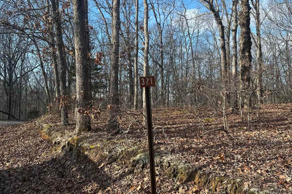
FSR - 321
Forest Service Road 321 is located in the northern half of Land Between the Lakes National Recreation Area off of Ironton Road - FSR 144. It is a dead-end road that is mostly gravel with a 1-2 foot deep creek crossing depending on recent weather, followed by a small incline. Leading up to the creek,...
Learn more about FSR - 321
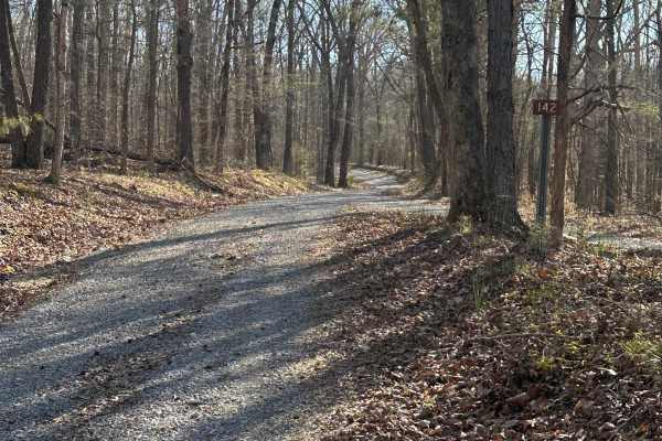
FS 142 - Higgins Bay Road
FS 142 is a simple and easy gravel road safe for stock 2WD vehicles up to fully modified 4x4s. Ginger Ridge, FS 336, FS 335, and FS 141 are all accessible from this trail, and it is open year-round. There are a few hills on the road you cannot see over, so be sure to be wary of potential oncoming tr...
Learn more about FS 142 - Higgins Bay Road
Beginner UTV/side-by-side trails near Marion, Kentucky
Find UTV and side-by-side trails near you. These trails accommodate vehicles up to 60 inches wide, ideal for UTVs, side-by-sides, and wider off-road rigs.
Stephens Chapel Road - FSR 415
Stephens Chapel Road--415 is an extremely historic route that navigates directly to one of the last original standing structures within Land Between the Lakes National Recreation Area. The Road is a mix of dirt and gravel and is somewhat maintained. The church remains despite the 2021 tornadoes rava...
Learn more about Stephens Chapel Road - FSR 415
FSR 119
Forest Service Road 119 is a semi-maintained dirt and gravel road that connects FSR 112 and FSR 117 within the Land Between the Lakes National Recreation Area. It is on the northern portion of the park in the area known as 'Tornado Valley' after two tornadoes hit the park in 2021. The road is easily...
Learn more about FSR 119
FSR - 321
Forest Service Road 321 is located in the northern half of Land Between the Lakes National Recreation Area off of Ironton Road - FSR 144. It is a dead-end road that is mostly gravel with a 1-2 foot deep creek crossing depending on recent weather, followed by a small incline. Leading up to the creek,...
Learn more about FSR - 321
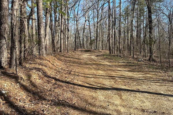
FS 335
FS 335 starts as a simple dirt/gravel road with a few shallow water crossings. There are a few areas that have been rutted out with some muddier lines along the road but can be bypassed. It is open year-round and can be accessed from FS 142 or Ginger Ridge.
Learn more about FS 335
The onX Offroad Difference
onX Offroad combines trail photos, descriptions, difficulty ratings, width restrictions, seasonality, and more in a user-friendly interface. Available on all devices, with offline access and full compatibility with CarPlay and Android Auto. Discover what you're missing today!
Open Trail Map