
Beginner Off-Road Trails
Near Los Banos, California
Explore All Beginner Trails Near Los Banos, California
Beginner Off-Road Trails Near Los Banos, California
Discover the best beginner-friendly off-road trails near you. These easier, lower-rated trails are a great place to start — browse trail maps, check difficulty ratings, and find your next adventure.
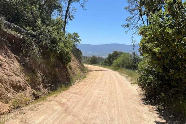
La Gloria Road
La Gloria Road is a graded, well-maintained dirt road that connects the Salinas Valley and US-101 with SR-25 in San Benito County. It is the closest connecting road between Eastern and Western Pinnacles (there is no road through Pinnacles). Access starts at the intersection with Camphora-Gloria Road...
Learn more about La Gloria Road
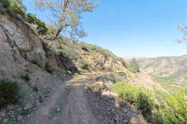
New Idria Dam to Ghost Town
Beginning at the BLM gate southwest of New Idria Dam, this trail winds around the westerly side of the lake and canyon above the former mining town of New Idria. Descending 1,200 feet in elevation, the route will take you along an unpaved dirt path through several areas of switchbacks and narrow she...
Learn more about New Idria Dam to Ghost Town
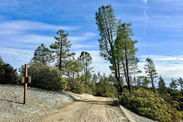
Aurora Cutoff R14
Aurora Cutoff R14 is a narrow two-track trail that traces the top of a ridge, leading you toward the historic Aurora Mine. This scenic route offers plenty of opportunities to explore single-track trails branching off to either side, inviting you to venture deeper into the area's rugged beauty. The m...
Learn more about Aurora Cutoff R14
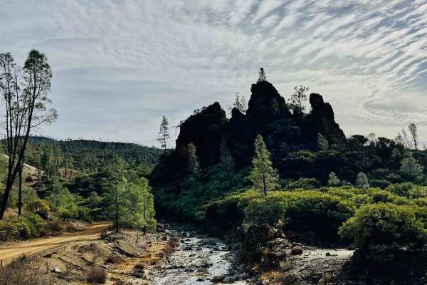
R1 Clear Creek Road
R1 Clear Creek Road lives up to its namesake by following the crisp, flowing waters of Clear Creek as it twists and winds through the canyon toward the hills. This trail provides an enjoyable adventure, rated as a 2, making it accessible for many vehicles. Be aware that there is no cell service alon...
Learn more about R1 Clear Creek Road
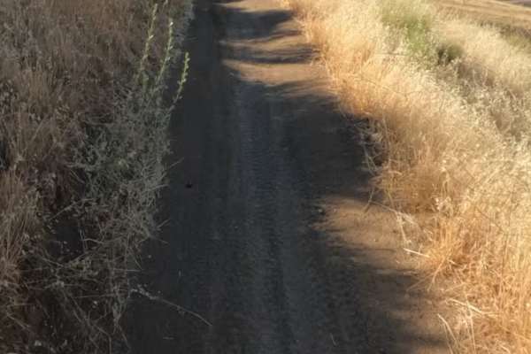
Sri Loop
SRI Loop begins with a steep, winding descent on hardpack dirt. The trail follows a narrow, mostly groomed path with rolling terrain, featuring several steep climbs and descents along the way. Expect light rutting in places, but few significant obstacles. After the loop, you can enter the Golden Eag...
Learn more about Sri Loop
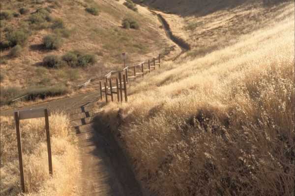
Golden Eagle
Golden Eagle Trail is a mellow hardpack dirt route that serves as a connector to SRI Loop and several other trails within the network. The trail is generally smooth and easy to follow, with a mix of steep climbs and descents along the way.
Riders traveling toward SRI Loop will need to cross a paved ...
Learn more about Golden Eagle
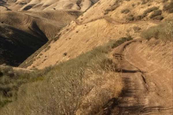
Red Trail
Juniper Trail is one of the park's primary connector routes, linking riders to the broader trail network. The trail features mostly smooth hardpack dirt with a mix of winding turns, climbs, and descents that make for an enjoyable ride.
As the route progresses, riders gain access to several steeper h...
Learn more about Red Trail
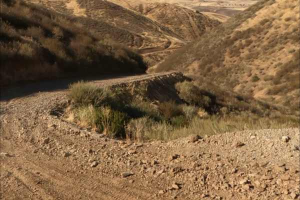
Kiln Trail
Kiln Trail is one of the primary entrances to the park. The route begins as a mellow hardpack dirt road leading to the park boundary, where signs outline park regulations and warn visitors about mountain lions. Shortly after entering, riders encounter the first notable obstacle: a steep climb with l...
Learn more about Kiln Trail
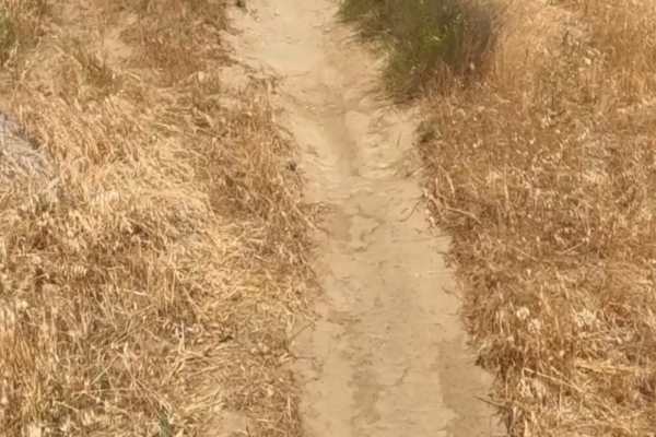
Badger
Badger Trail runs parallel to Ridge Trail, following the same hillside at a lower elevation. The route consists of firm hardpack dirt and a series of winding turns that contour along the slope. Technical obstacles are minimal, with few rocks or ruts to navigate. However, the steep hillside and narro...
Learn more about Badger
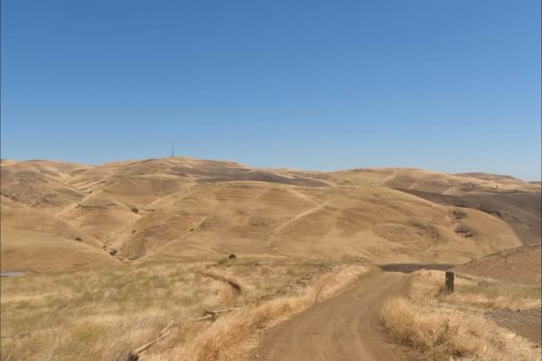
Los Osos Trail
The Los Osos Trail is one of the park's main connector routes, providing access to many of the surrounding trails and trail networks. The trail consists mostly of smooth, well-groomed hardpack dirt and offers an easy, enjoyable ride through the park.
Expect a mix of winding turns, gradual climbs, an...
Learn more about Los Osos Trail
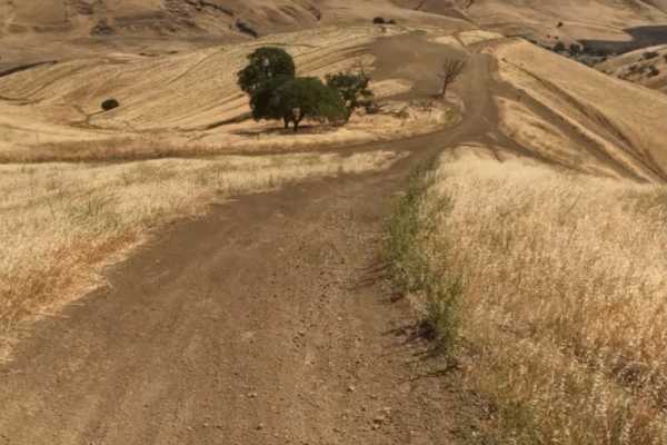
Juniper Trail
Juniper Trail is one of the park's primary connector routes, linking riders to the broader trail network. The trail features mostly smooth hardpack dirt with a mix of winding turns, climbs, and descents that make for an enjoyable ride.
As the route progresses, riders gain access to several steeper h...
Learn more about Juniper Trail
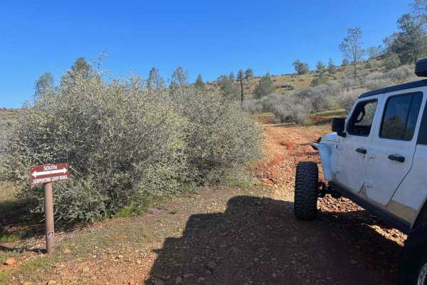
Red Hills Road/Serpentine loop
Red Hills Recreation (BLM) area is a scenic day use only location. There are tons of hiking trails in the area, as well as the Serpentine Loop Trail which is a mild to moderate trail with tons of seasonal water crossings and picnic areas near the water. Accessible to most 4x4 and AWD vehicles, small...
Learn more about Red Hills Road/Serpentine loop
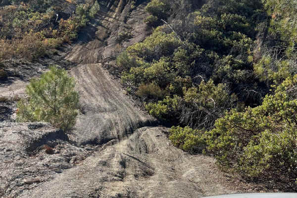
High Times
Discover an exciting off-road trail tailored to 4x4 vehicles, combining moderate terrain with thrilling elements. While mostly easy to navigate, you'll encounter occasional gentle inclines and 12-inch deep ruts, adding a dash of excitement without overwhelming the adventure. Perfect for those seekin...
Learn more about High Times
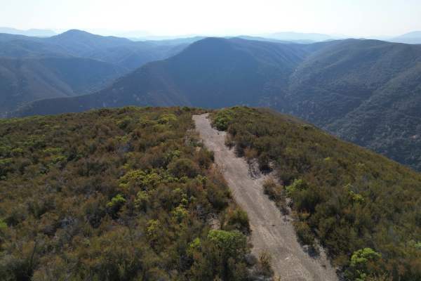
Low Times
This short but intense spur descends nearly 1,500 feet in just over a mile. The trail is narrow, rocky, and exposed, featuring loose shale and shelf sections that demand careful driving. While suitable for high-clearance 4x4 vehicles, drivers should anticipate tight lines, steep grades, and minimal ...
Learn more about Low Times
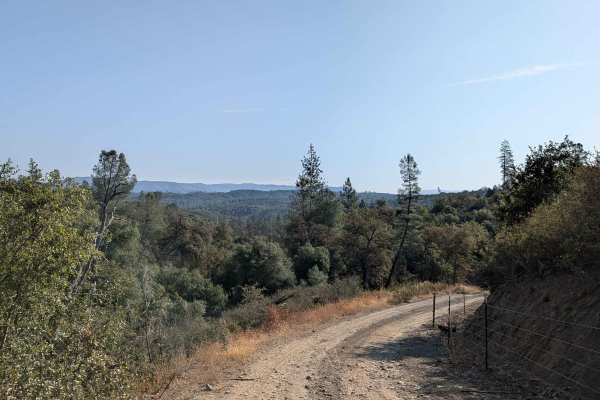
Bull Creek Road South
Bull Creek Road South climbs 622 feet and drops just over 300 feet in 4.4 miles. The surface is packed dirt and sand, starting off about one and a half vehicles wide before narrowing in sections. This is a shelf road that climbs steadily after Burma Grade, providing expansive views of the valleys be...
Learn more about Bull Creek Road South
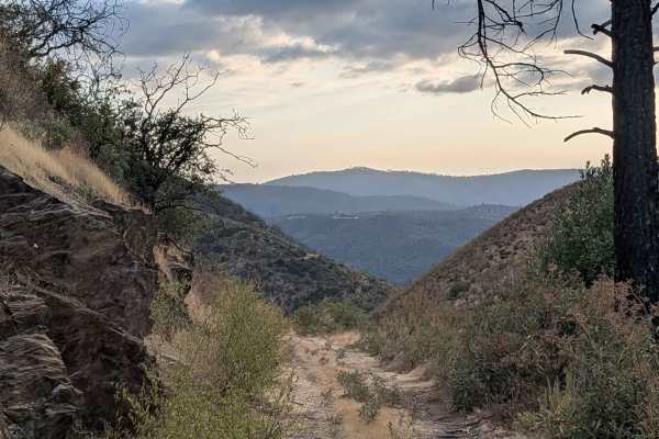
Buffalo Gulch Road
Starting from Highway 140, this rugged track drops nearly 1,500 feet and climbs less than 300 feet in under 4 miles before connecting with Ponderosa Way at the top. The trail averages 1 to 1.5 vehicles wide and is made up of uneven gravel and sand, giving it a rough, bumpy feel throughout. At about ...
Learn more about Buffalo Gulch Road
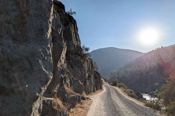
Briceburg Road - Merced River
This gravel road starts behind the Briceburg Visitor Center, across the bridge, and follows the Merced River for its entire length, providing continuous water views and sounds throughout the journey. The track maintains a width of one and a half to two vehicles on a well-maintained gravel surface, t...
Learn more about Briceburg Road - Merced River
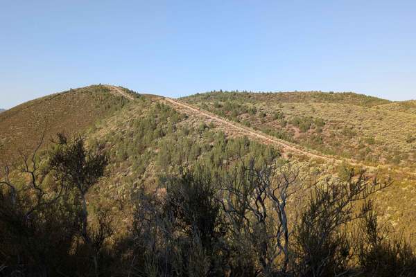
Burma Grade Road
Burma Grade climbs almost 1,400 feet in 3 miles. The trail starts at Bull Creek Road and ends at Bull Creek Road South. To access it, take Briceburg Road behind the Briceburg Visitor Center and cross the bridge. The trail is managed by the BLM. The road is hard-packed dirt, about 1.5 vehicles wide, ...
Learn more about Burma Grade Road
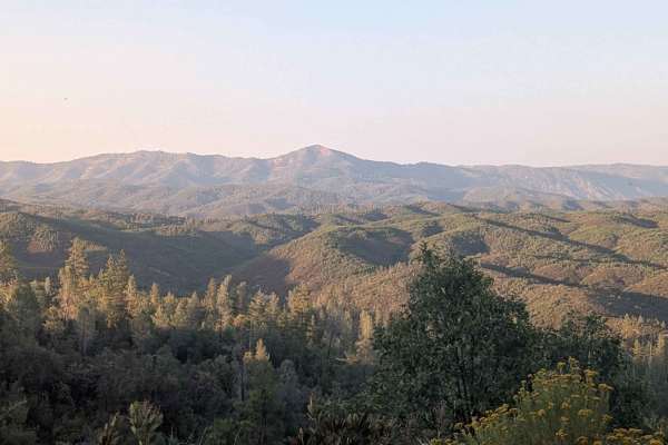
Ponderosa Way Cutoff
Ponderosa Way Cutoff serves as a convenient shortcut connecting Ponderosa Way and Bull Creek Road, following a relatively flat route that still incorporates ups and downs over various hills throughout its length. The trail offers excellent views of the surrounding forest and valleys, providing sceni...
Learn more about Ponderosa Way Cutoff
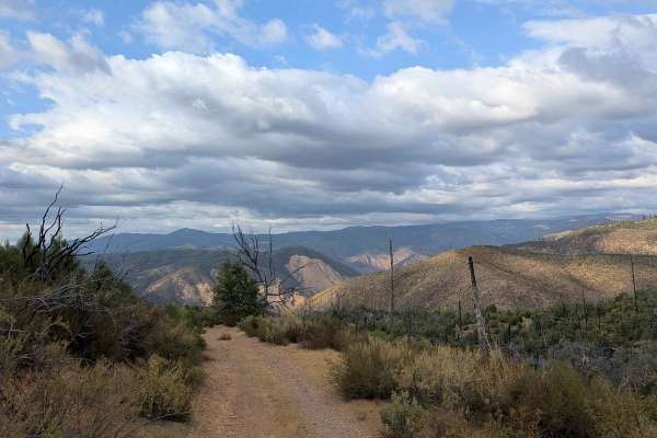
Ponderosa Way
Branching off from Buffalo Gulch Trail, this 3-mile out-and-back route offers big views and a fun ridge-line drive. The sandy track drops more than 700 feet and gains just 90 feet over 2 miles, making it a steady descent out and climb back. The trail averages about 1.5 vehicles wide as it runs along...
Learn more about Ponderosa Way
Beginner ATV trails near Los Banos, California
Explore ATV-friendly trails near you. These trails are accessible for vehicles up to 50 inches wide, perfect for ATVs and smaller off-road machines.
Aurora Cutoff R14
Aurora Cutoff R14 is a narrow two-track trail that traces the top of a ridge, leading you toward the historic Aurora Mine. This scenic route offers plenty of opportunities to explore single-track trails branching off to either side, inviting you to venture deeper into the area's rugged beauty. The m...
Learn more about Aurora Cutoff R14
R1 Clear Creek Road
R1 Clear Creek Road lives up to its namesake by following the crisp, flowing waters of Clear Creek as it twists and winds through the canyon toward the hills. This trail provides an enjoyable adventure, rated as a 2, making it accessible for many vehicles. Be aware that there is no cell service alon...
Learn more about R1 Clear Creek Road
Sri Loop
SRI Loop begins with a steep, winding descent on hardpack dirt. The trail follows a narrow, mostly groomed path with rolling terrain, featuring several steep climbs and descents along the way. Expect light rutting in places, but few significant obstacles. After the loop, you can enter the Golden Eag...
Learn more about Sri Loop
Golden Eagle
Golden Eagle Trail is a mellow hardpack dirt route that serves as a connector to SRI Loop and several other trails within the network. The trail is generally smooth and easy to follow, with a mix of steep climbs and descents along the way.
Riders traveling toward SRI Loop will need to cross a paved ...
Learn more about Golden Eagle
Beginner UTV/side-by-side trails near Los Banos, California
Find UTV and side-by-side trails near you. These trails accommodate vehicles up to 60 inches wide, ideal for UTVs, side-by-sides, and wider off-road rigs.
Aurora Cutoff R14
Aurora Cutoff R14 is a narrow two-track trail that traces the top of a ridge, leading you toward the historic Aurora Mine. This scenic route offers plenty of opportunities to explore single-track trails branching off to either side, inviting you to venture deeper into the area's rugged beauty. The m...
Learn more about Aurora Cutoff R14
R1 Clear Creek Road
R1 Clear Creek Road lives up to its namesake by following the crisp, flowing waters of Clear Creek as it twists and winds through the canyon toward the hills. This trail provides an enjoyable adventure, rated as a 2, making it accessible for many vehicles. Be aware that there is no cell service alon...
Learn more about R1 Clear Creek Road
Kiln Trail
Kiln Trail is one of the primary entrances to the park. The route begins as a mellow hardpack dirt road leading to the park boundary, where signs outline park regulations and warn visitors about mountain lions. Shortly after entering, riders encounter the first notable obstacle: a steep climb with l...
Learn more about Kiln Trail
Los Osos Trail
The Los Osos Trail is one of the park's main connector routes, providing access to many of the surrounding trails and trail networks. The trail consists mostly of smooth, well-groomed hardpack dirt and offers an easy, enjoyable ride through the park.
Expect a mix of winding turns, gradual climbs, an...
Learn more about Los Osos Trail
The onX Offroad Difference
onX Offroad combines trail photos, descriptions, difficulty ratings, width restrictions, seasonality, and more in a user-friendly interface. Available on all devices, with offline access and full compatibility with CarPlay and Android Auto. Discover what you're missing today!
Open Trail Map