Trail Overview
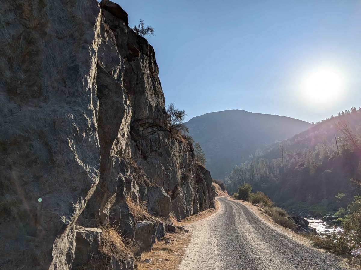
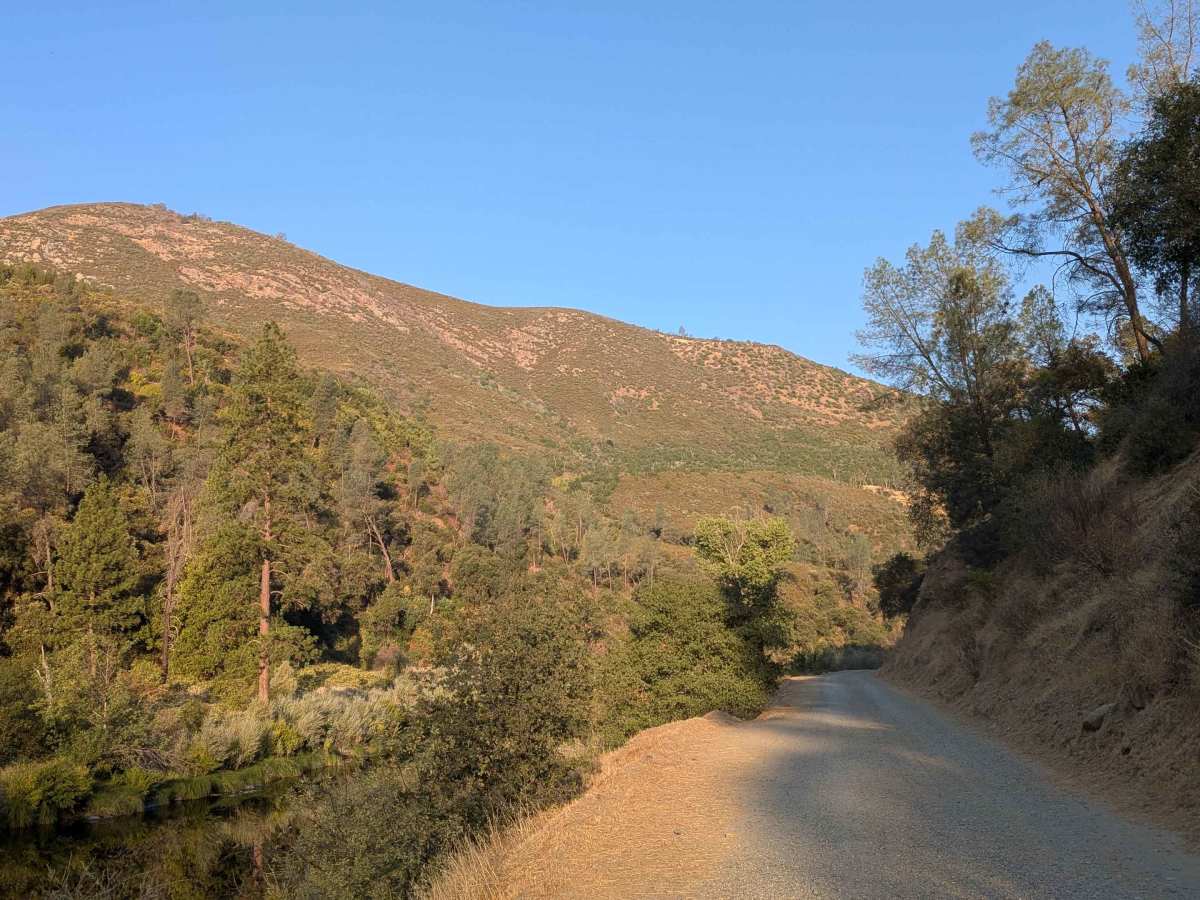
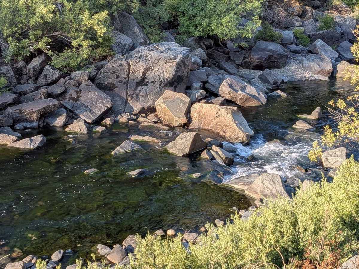
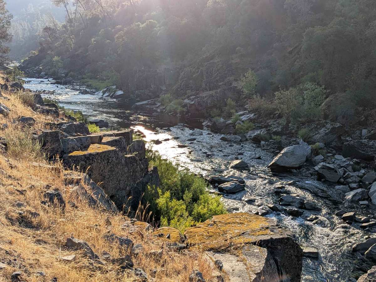
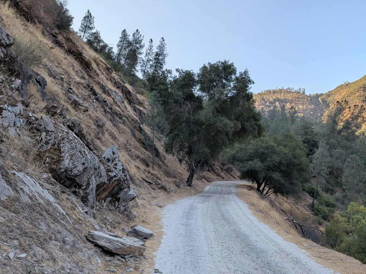
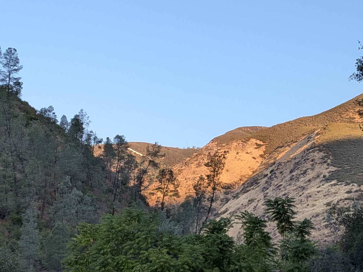
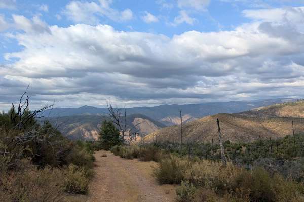
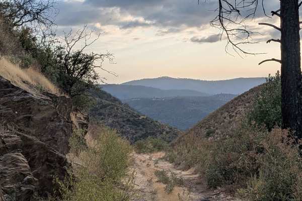
This gravel road starts behind the Briceburg Visitor Center, across the bridge, and follows the Merced River for its entire length, providing continuous water views and sounds throughout the journey. The track maintains a width of one and a half to two vehicles on a well-maintained gravel surface, though erosion has created hazards requiring caution near cliff edges. Drivers should look ahead for oncoming vehicles, as passing opportunities may require coordination in areas where the trail narrows. The route passes through the Merced River Scenic Area, which is maintained by the Bureau of Land Management, ensuring good access and trail conditions. Various established campgrounds are accessible along the path, including Merced River Recreation Management Area, Willow Placer Campground, and Railroad Flat Campground, providing excellent overnight options for extended adventures. The trail offers spectacular scenery throughout its length with continuous views of the Merced River, lush green forest on one side, and golden grasses on the other, creating diverse landscape experiences. Spring conditions require extra caution as river flow can become very high and treacherous, potentially affecting both the scenic experience and safety considerations near the water's edge. The combination of a maintained gravel surface and scenic river corridor makes this an excellent choice for comfortable backcountry driving with reliable camping access.
Difficulty
This trail has an easy difficulty rating based on the well-maintained gravel surface and established campground access. The primary concerns include erosion near cliff edges requiring caution, potential passing coordination due to width variations, and seasonal awareness of high river flows during spring conditions, though these represent manageable challenges rather than technical obstacles.