
Beginner Off-Road Trails
Near Leslie, Michigan
Explore All Beginner Trails Near Leslie, Michigan
Beginner Off-Road Trails Near Leslie, Michigan
Discover the best beginner-friendly off-road trails near you. These easier, lower-rated trails are a great place to start — browse trail maps, check difficulty ratings, and find your next adventure.
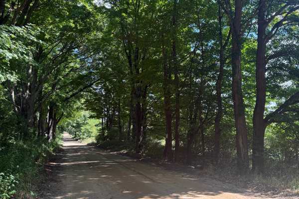
Glenn West Trail
Glenn West Trail is an adventurous and fun bidirectional road within the Waterloo State Recreation Area. Located just off Highway 94, this trail is easily accessible. Starting from the West end, you'll start on a smooth dirt road that leads into some lush trees on a dirt/gravel road. This area is ab...
Learn more about Glenn West Trail
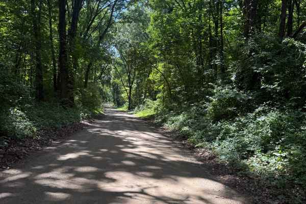
Katz Trail
Katz Trail is a very fun and scenic bidirectional road within the Waterloo State Recreation Area. Located just off Highway 94, this trail is easily accessible. Starting from the north end, you'll start on a smooth dirt road that leads along this Natural Beauty Road. Towards the beginning of the trai...
Learn more about Katz Trail
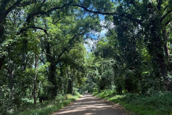
Glenn East Trail
Glenn East Trail is a classical Michigan bi-directional trail within the Waterloo State Recreation Area. Located off Mount Hope Road, shortly off Highway 94, you'll find the west end of the trail, making it easily accessible. Starting from the western end, you'll start out on a dirt/gravel road next...
Learn more about Glenn East Trail
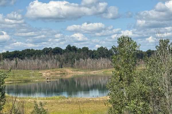
Green Trail
Green Trail is a very interesting scenic bidirectional Natural Beauty Road within the Waterloo State Rec Area. Located between Jackson and Ann Arbor near Highway 94, this trail is easily accessible. Starting from the west end at the intersection of Maute Trail, you'll start out on a dirt/gravel road...
Learn more about Green Trail
Maute Trail
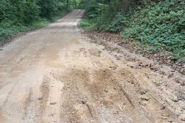
Maute Trail is an exciting 2.5-mile scenic bidirectional trail within the Waterloo State Recreation Area. Located near Highway 94 between Jackson and Ann Arbor, this trail is easily accessible. Starting from the south end off Morrisey Road, you'll start out on a dirt road that quickly turns into a d...
Learn more about Maute Trail
Camp Trail
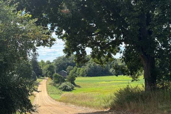
Camp Trail is a fun bidirectional trail just on the outskirts of the Waterloo Rec Area. Located east of Jackson near Highway 74, this trail is easily accessible. Starting from the eastern end of Cedar Lake Road, you'll start out next to an overgrown tree with lush vegetation edging the trail towards...
Learn more about Camp Trail
Leach Trail
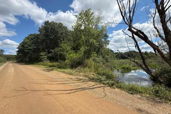
Leach Trail is a really fun and exciting bidirectional trail within the Waterloo State Recreation Area. Located just off Highway 74 between Jackson and Ann Arbor, this trail is easily accessible. Starting from the eastern end, you'll start out on a dirt road where you may be able to see a glimpse of...
Learn more about Leach Trail
McClure Trail
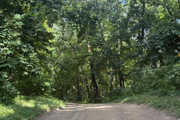
McClure Trail is an easy 2.4-mile bidirectional trail, yet scenic in its own way. Located within the Waterloo State Rec Area near Highway 74 between Jackson and Ann Arbor, this trail is easily accessible. Starting from the western end at the intersection of Loveland Trail, you'll start out on a dirt...
Learn more about McClure Trail
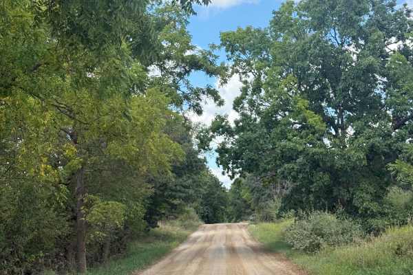
Loveland Trail
Loveland Trail is an easy & scenic bidirectional 2.7-mile road. Located just off Highway 74, this route is easily accessible. This trail is typically easy with nothing technical, just a few spots that can become muddy after inclement weather. Most of the trail is a combination of dirt and gravel, an...
Learn more about Loveland Trail
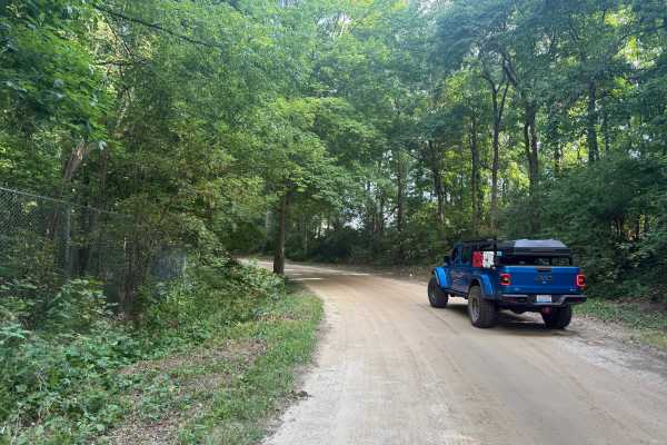
Graves Trail
Graves Trail is a fun and entertaining bidirectional trail near the Pinckney State Rec Area. Located just north of Sayles Lake off of M-36, this trail is easily accessible. Starting from the northern end, you'll start out on a mostly dirt road in a section of the forest with lush vegetation edging t...
Learn more about Graves Trail
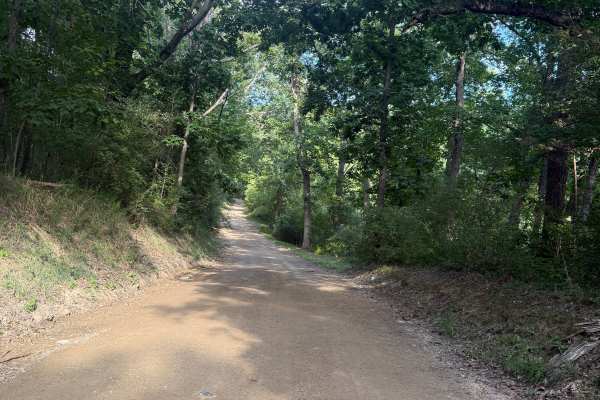
Doyle Trail
Doyle Trail is an easy bidirectional trail within the Pinckney State Recreation Area. Located off Patterson Lake Rd between highway 96 and 94, you'll find the west end of the trail, making it easily accessible. Starting from the western end, you'll begin on a mostly dirt road full of thick trees lin...
Learn more about Doyle Trail
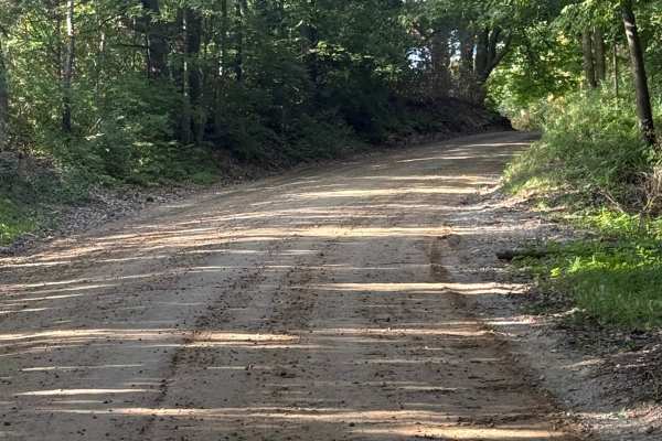
Pingree Trail
Pingree Trail is a unique and scenic 2.5-mile trail just outside of the Gregory State Game Area. Located just to the west of Putnam Township, you'll find the trail off M-36, making it easily accessible. Starting out the trail is a mixture of dirt and gravel. Shortly after, the trail transitions into...
Learn more about Pingree Trail
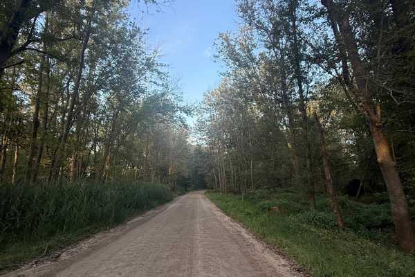
West Schafer Trail
West Schafer Trail is an easy 1.5-mile bidirectional trail. Located off Pingree Rd, you'll find the beginning of the trail, making it easily accessible. Starting from the western end, you'll begin on a mostly dirt road with towering trees completely surrounding it. Shortly into this track, the trail...
Learn more about West Schafer Trail
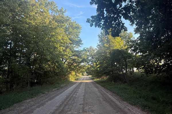
Hinchey Trail
Hinchey Trail is an easy 2.5-mile bidirectional trail just outside of the Michigan Department of Natural Resources. Located between Cedar Lake Trail and Pigmee Trail, you'll find this trail, making it easily accessible and easy to combine with other nearby trails to make for a fun day. Starting from...
Learn more about Hinchey Trail
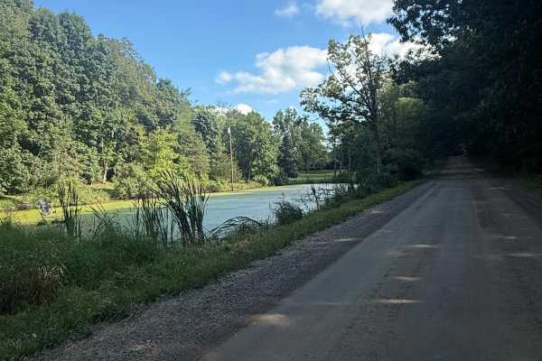
Kelly Trail
Kelly Trail is everything you would think it is based on its name. This 2.7-mile bidirectional scenic trail has many things to offer. Located within the Pinckney State Rec Area between highway 96 and 94 near Hell, it's easily accessible. Starting from the southern end at the intersection of Patterso...
Learn more about Kelly Trail
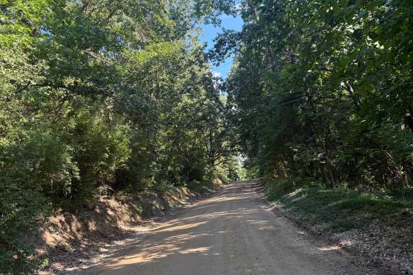
Silver Hill Trail
Silver Hill Trail is a unique Michigan bidirectional trail within the Pinckney State Recreation Area. Located just south of Hell between Highway 96 and 94, this trail is easily accessible. Starting from the northern end of D-32, you'll start out right next to the city of Hell. If you haven't checked...
Learn more about Silver Hill Trail
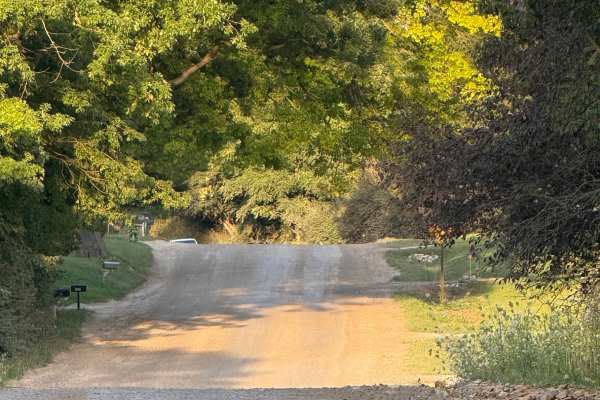
East Schafer Trail
East Schafer Trail is a unique and scenic 1-mile bidirectional trail. Located between Cedar Lake Trail and Bently Lake Trail, this trail is easily accessible and breathtaking. Starting from the western end, you'll start out on a mostly dirt road that slowly transitions to dirt/gravel. There are a fe...
Learn more about East Schafer Trail
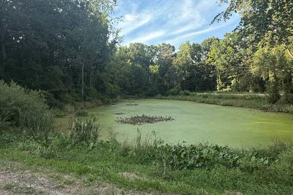
Spears Trail
Spears Trail is a unique and scenic bidirectional trail within the Gregory State Game Area, right off the Michigan Department of Natural Resources. Located directly off Cedar Lake Road, this trail is easily accessible. Starting from the eastern end, you'll start out on a gravel and dirt road. This t...
Learn more about Spears Trail
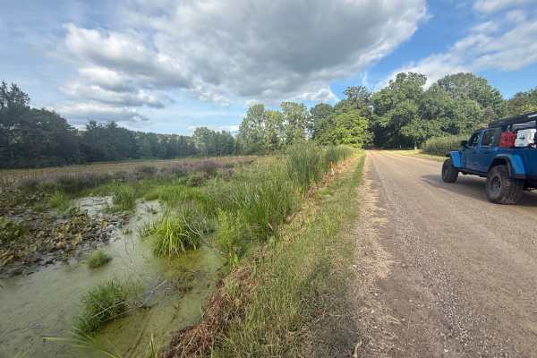
Monks Trail
Monks Trail is a 1.5-mile bidirectional trail within the Pinckney State Rec Area. Located between Cedar Lake Trail and Kelly Trail just south of Putnam Township, this trail is easily accessible. Starting from the western end of Kelly Road, you'll start out on a dirt/gravel route that is surrounded b...
Learn more about Monks Trail
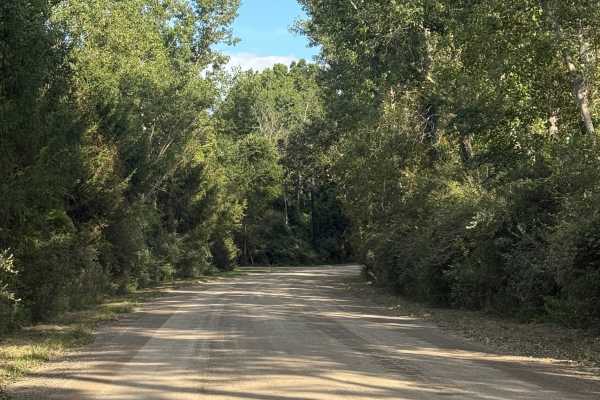
Cedar Lake Trail
Cedar Lake Trail is an awesome 8-mile bidirectional trail within the Michigan Department of Natural Resources and right outside the Pickney State Rec Area. Located between Marion Township and Putnam Township, this trail is easily accessible. Starting from the southern end of Patterson Lake Road, you...
Learn more about Cedar Lake Trail
Beginner ATV trails near Leslie, Michigan
Explore ATV-friendly trails near you. These trails are accessible for vehicles up to 50 inches wide, perfect for ATVs and smaller off-road machines.
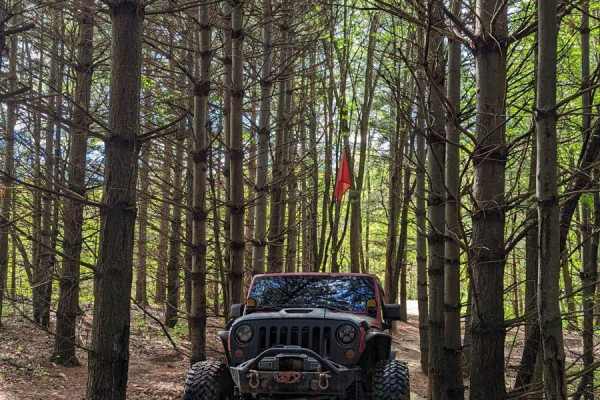
Steinwinder
This trail has two designations: one for full-size rigs and one for ATVs. There are many markers to indicate which path is which. This trail is also one-way. There are many tight turns and it may be harder for vehicles (trucks) with a longer wheelbase. Once on the trail, there really isn't a way to ...
Learn more about Steinwinder
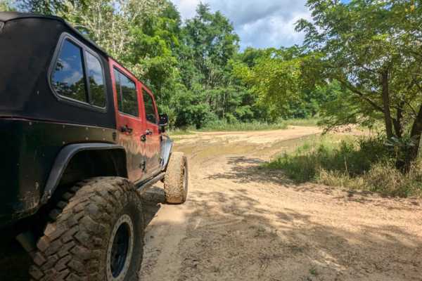
Deer Run
This trail is mild and weaves in and out of trees. There are a couple of off-camber spots, especially the exit. This trail also intertwines with Rookie Run and signage can be confusing but won't lead you into anything extreme. The exits are easy to find. The one entrance/exit has a large water hole ...
Learn more about Deer Run
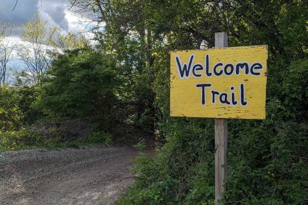
Welcome Trail
This trail begins at the Lower Level Parking Lot and is a connector trail between one of the main roads that runs through the park and the parking lots. There are very few elevation changes. There are some mud holes, some deep and some not so deep. Use caution when traversing the mud holes. The two-...
Learn more about Welcome Trail
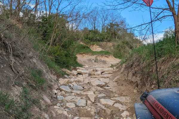
Nut Check
Nut Check starts with an intermediate rock crawl in a washout. Then the trail branches off that washout and climbs up a hill. If someone prefers not to climb the hill, they can continue straight and finish the rock crawling washout area. There are some muddy holes (one really deep) in the wooded are...
Learn more about Nut Check
Beginner UTV/side-by-side trails near Leslie, Michigan
Find UTV and side-by-side trails near you. These trails accommodate vehicles up to 60 inches wide, ideal for UTVs, side-by-sides, and wider off-road rigs.
Deer Run
This trail is mild and weaves in and out of trees. There are a couple of off-camber spots, especially the exit. This trail also intertwines with Rookie Run and signage can be confusing but won't lead you into anything extreme. The exits are easy to find. The one entrance/exit has a large water hole ...
Learn more about Deer Run
Welcome Trail
This trail begins at the Lower Level Parking Lot and is a connector trail between one of the main roads that runs through the park and the parking lots. There are very few elevation changes. There are some mud holes, some deep and some not so deep. Use caution when traversing the mud holes. The two-...
Learn more about Welcome Trail
Nut Check
Nut Check starts with an intermediate rock crawl in a washout. Then the trail branches off that washout and climbs up a hill. If someone prefers not to climb the hill, they can continue straight and finish the rock crawling washout area. There are some muddy holes (one really deep) in the wooded are...
Learn more about Nut Check
Bare Back
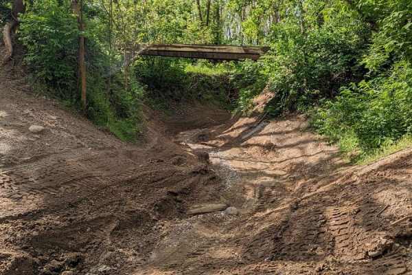
The entrance to this trail can be picked up from the Lower Parking Lot and runs along the picnic area. This trail is mild with a couple of spots of articulation and a couple of spots that can be muddy if it's been raining. This trail also runs under the two-track style bridge that can be found in th...
Learn more about Bare Back
The onX Offroad Difference
onX Offroad combines trail photos, descriptions, difficulty ratings, width restrictions, seasonality, and more in a user-friendly interface. Available on all devices, with offline access and full compatibility with CarPlay and Android Auto. Discover what you're missing today!
Open Trail Map