
Beginner Off-Road Trails
Near Hobgood, North Carolina
Explore All Beginner Trails Near Hobgood, North Carolina
Beginner Off-Road Trails Near Hobgood, North Carolina
Discover the best beginner-friendly off-road trails near you. These easier, lower-rated trails are a great place to start — browse trail maps, check difficulty ratings, and find your next adventure.
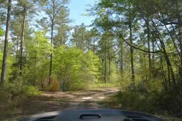
Chowan Swamp Gamelands
The Chowan Swamp Gamelands are a state-administered game area in Gates County, North Carolina. The trail system is seasonal, and one can expect various areas to be open or closed depending on what hunting season it is. The area offers excellent fishing along the Chowan River, along with scenic areas...
Learn more about Chowan Swamp Gamelands
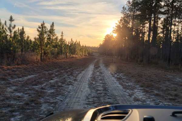
Chowan Game Lands - Bear Spotter
Bear Spotter is a seasonal section of trails in the Chowan Swamp Game Lands. It's a scenic area of the game lands that are generally only open during deer season. The trail starts at the Gatlington Boat Ramp and proceeds down season paths that are primarily hunter access roads and are also designate...
Learn more about Chowan Game Lands - Bear Spotter
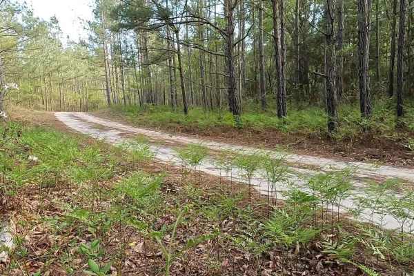
Chowan Gamelands - Deer Spotter
This area of the Chowan Swamp Gamelands is a seasonal trail that is open primarily during deer season. As the name suggests, one can expect to see a great many deer. Care should be taken not to strike deer with your vehicle. A wide array of other animals can be seen as well, including bears. Be mind...
Learn more about Chowan Gamelands - Deer Spotter
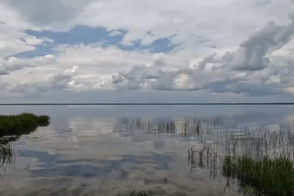
Pocosin Lakes National Wildlife Refuge
Pocosin Lakes National Wildlife Refuge is a series of scenic gravel roads in Tyrrell County, North Carolina. It's located west of Nags Head in the North Carolina Outer Banks. The Refuge offers amazing scenery and views of the local wildlife. One can expect to see alligators, black bears, red wolves,...
Learn more about Pocosin Lakes National Wildlife Refuge
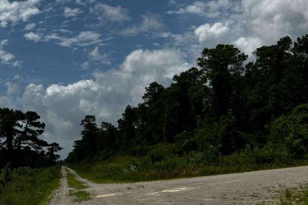
Western Road Pocosin National Wildlife Refuge
This road within the Pocosin National Wildlife Refuge area is rather similar to all the others however is very cool as it can connect to a lake within the refuge. With that being said, depending on the time of the year the connecting road was closed due to wildlife habitats. This connecting road is ...
Learn more about Western Road Pocosin National Wildlife Refuge
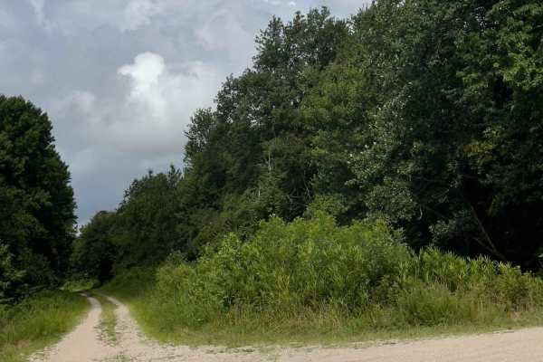
Middle Road - Pocosin Lakes National Wildlife Refuge
This road within the Pocosin National Wildlife Refuge area starts very similar to other roads driving through farmland, with rivers, but eventually switches into a wetter forest road. The first half of the road is well-kept, and very easy to drive on, however, the second half of the road can get a l...
Learn more about Middle Road - Pocosin Lakes National Wildlife Refuge

Big Woods Loop
Big Woods Loop is a route that passes through the Big Woods State Forest and Big Woods Wildlife Management Area. The route is a basic forest road, with the surface being slightly rougher on the state forest side. The route passes through typical southeast Virginia woodland and skirts the Big Woods s...
Learn more about Big Woods Loop
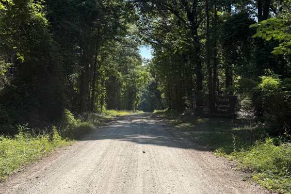
Farrior Farm - FS 121A
Upon arrival at Farrior Farm Road, you will be greeted by the Croatan National Forest sign with a noticeably smooth gravel terrain. Approximately 0.5 mile on the left, the Southern New Bern Depot, which is managed by the NC Wildlife Resources Commission, will be located here. Going forward, the trai...
Learn more about Farrior Farm - FS 121A
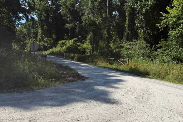
Mill Branch - FS 170
Located in the northern section of Croatan National Forest, Mill Branch (FS 170) stretches approximately 2.9 miles between County Line Road and Farrior Farm (FS 121A). Recent grading and bulldozing have significantly improved the road surface, eliminating rough patches and large rocks randomly scatt...
Learn more about Mill Branch - FS 170
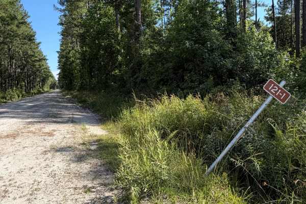
North Little - FS 121-1
Located in the northern section of Croatan National Forest, North Little (FS 121-1) extends 2 miles between County Line Road and Perrytown Road. This forest service road is notably wide throughout and provides ample room for two-way traffic and allows vehicles traveling in opposite directions to pas...
Learn more about North Little - FS 121-1
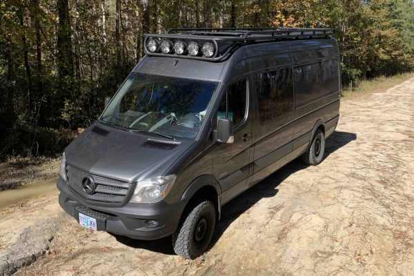
Middle Little
Beautiful single-vehicle width track through the forest. The entry/exit route to the northwest is very, very corrugated. But to the south, you'll find one of the widest and smoothest unpaved roads in the country. The trail is pretty straightforward when dry, lots of large potholes punctuate an other...
Learn more about Middle Little
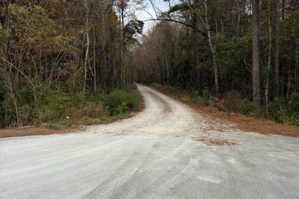
Tootle Road
Tootle Road can allow access about to two miles of trail and an abundance of hunting grounds. Most of Tootle Rd is a wide dirt double-track road that provides access to hunting grounds within the Croatan National Forest. The first two miles of the trail are this wide road, which can be driven quickl...
Learn more about Tootle Road
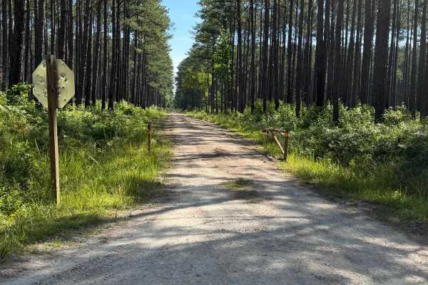
Briery Branch - FS 122
Started off as a nice dirt road, then slowly transitions to small mud holes on both sides of the trail. Shortly after, you will come to the end that is gated and marked with numerous private property signs. There are no signs of dispersed camping located on this trail.
Learn more about Briery Branch - FS 122
Beginner ATV trails near Hobgood, North Carolina
Explore ATV-friendly trails near you. These trails are accessible for vehicles up to 50 inches wide, perfect for ATVs and smaller off-road machines.
Briery Branch - FS 122
Started off as a nice dirt road, then slowly transitions to small mud holes on both sides of the trail. Shortly after, you will come to the end that is gated and marked with numerous private property signs. There are no signs of dispersed camping located on this trail.
Learn more about Briery Branch - FS 122
Beginner UTV/side-by-side trails near Hobgood, North Carolina
Find UTV and side-by-side trails near you. These trails accommodate vehicles up to 60 inches wide, ideal for UTVs, side-by-sides, and wider off-road rigs.
Briery Branch - FS 122
Started off as a nice dirt road, then slowly transitions to small mud holes on both sides of the trail. Shortly after, you will come to the end that is gated and marked with numerous private property signs. There are no signs of dispersed camping located on this trail.
Learn more about Briery Branch - FS 122
The onX Offroad Difference
onX Offroad combines trail photos, descriptions, difficulty ratings, width restrictions, seasonality, and more in a user-friendly interface. Available on all devices, with offline access and full compatibility with CarPlay and Android Auto. Discover what you're missing today!
Open Trail Map