
Beginner Off-Road Trails
Near Hemphill, Texas
Explore All Beginner Trails Near Hemphill, Texas
Beginner Off-Road Trails Near Hemphill, Texas
Discover the best beginner-friendly off-road trails near you. These easier, lower-rated trails are a great place to start — browse trail maps, check difficulty ratings, and find your next adventure.
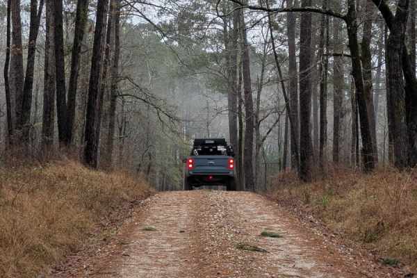
Turkey Hill Wilderness Route
This trail is full of amazing views and productive routes for hunting! This rides right through the Bannister WMA as well as right along the border of the Turkey Hill Wilderness. The Route is a collection of old caliche roads and gravel throughways that Sandy Creek and Harvey Creek tend to spill wat...
Learn more about Turkey Hill Wilderness Route
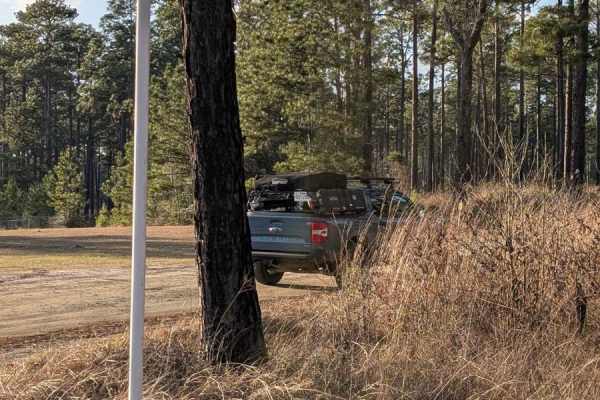
Mud Creek Road
This muddy lake access road is a key road to know for some remote hunting spots from the spurs running from this trail. Not only is it a great road for hunting, but anglers will enjoy this as well as it has some of the most amazing views of Sam Rayburn Reservoir and some sweet, but sticky places to ...
Learn more about Mud Creek Road

Upland Island Wilderness Rockcrusher
An amazing drive on the outskirts of the Upland Island Wilderness Area with an incredible amount of dispersed camp sites waiting to be explored. This area is also one of the most plentiful hunting lands here in East Texas as well. With gravel road sections and mud rut sections, this trail offers a w...
Learn more about Upland Island Wilderness Rockcrusher
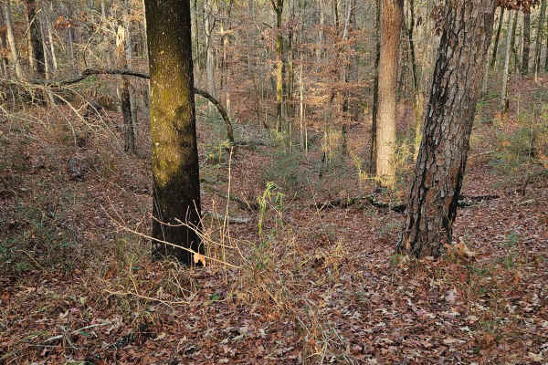
Kisatchie Falls
Starting from Highway 118, this trail starts on a gravel, maintained road, then turns to National Forest dirt road. The trail travels through both private and National Forest land, so be sure to follow all posted signs. The trail offers a few places to camp along Kisatchie Bayou with sandbars and fi...
Learn more about Kisatchie Falls
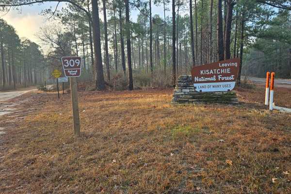
Kurthwood Road
Kurthwood Road is a point-to-point maintained Forest Service road. Connecting Highway 117 on the west end to Highway 118 on the north end, Kurthwood Road is a great trail to explore more challenging side trails ranging from 0.25 miles to 2.8 miles. The road is a mixture of dirt, sand, and gravel. Th...
Learn more about Kurthwood Road
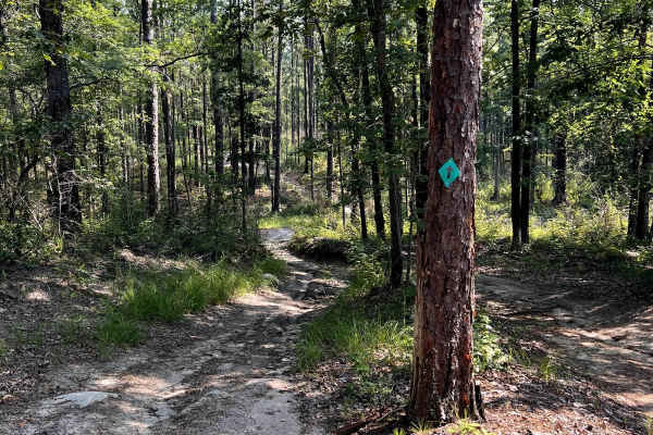
Sandstone
Great trail that is well maintained and easily rideable by following the green arrows. A lot of ups/downs/left/rights with some nice elevation changes for central LA. Very fun trail for all variety of riders from young to old. Mostly 2 track for the whole trail but a very enjoyable 2 track. The t...
Learn more about Sandstone
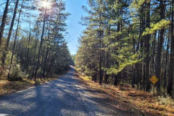
Kisatchie National Forest Camp and Trail
Kisatchie National Forest Camp and Trail is an easy, 16-mile off-road route through the scenic pine hills of Louisiana's Kisatchie Ranger District. Winding through dense longleaf pines and hardwood hollows, the well-maintained dirt and gravel roads are suitable for standard four-wheel-drive and high...
Learn more about Kisatchie National Forest Camp and Trail
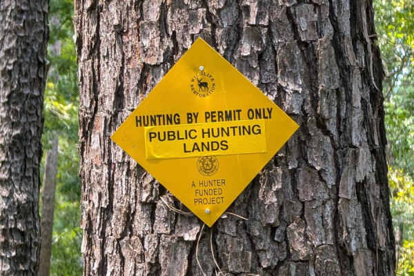
Smuggler's Strait
Soft dirt road in the Alabama Creek Wildlife Management Area that will lead you through a changing landscape of gravel, grass, washouts, and mudholes up to 12" with some light off-camber grading. Half of this trail is only one vehicle wide. Be careful on this trail in heavy rain.
Learn more about Smuggler's Strait
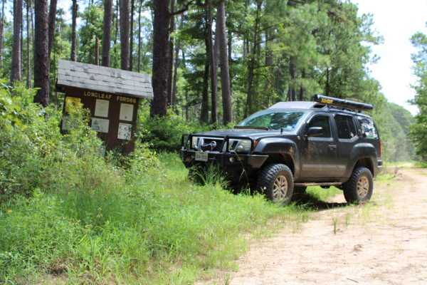
FSR 568 Hunters Camps
Forest Service Road 568 leads to hunters' camps. There are free camping areas just five miles off the Texas Traverse in the Davy Crockett National Forest. The drive is an easy one when dry, but can be dusty/muddy depending on the weather. Most vehicles will be able to make the route. The campsites c...
Learn more about FSR 568 Hunters Camps
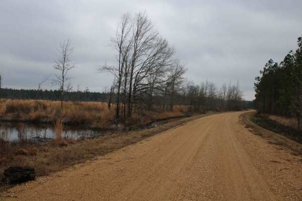
Black Mountain
Couley Creek (542) Road and Black Mountain (509) Road make up this trail. Enjoy easy-to-travel maintained gravel roads to see great forest views. Dispersed camping and nature viewing are in these areas of the Kisatchie National Forest. This trail ends at Harrisonburg Road which is a paved road. You ...
Learn more about Black Mountain
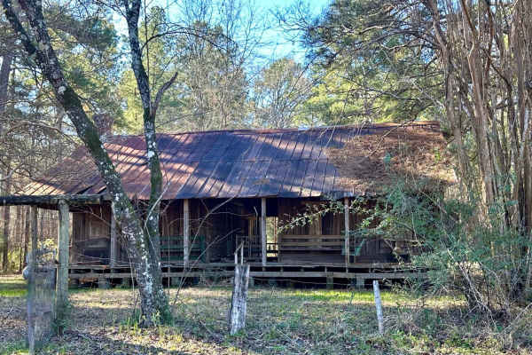
County Road 1155
County Road 1155 is located within the Davy Crockett National Forest just east of Ratcliff, Texas. It is a great way to take a quick break from highway driving and explore the scenic route. This trail runs east to west through the National Forest and provides a simple dirt road drive through the bea...
Learn more about County Road 1155
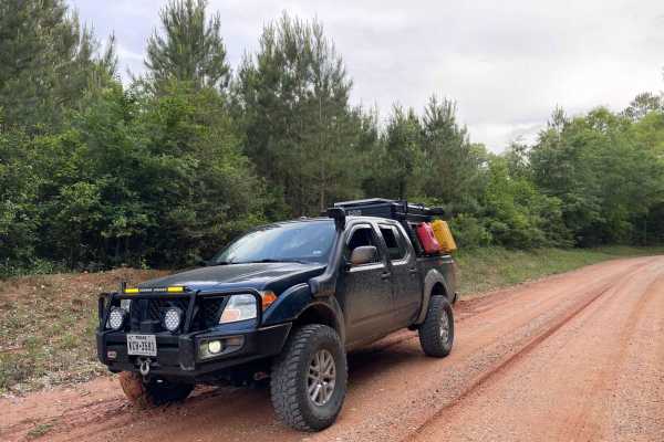
Darden Road
Darden Road is a 7-mile stretch of gravel & red dirt road. The Southern portion is more populated with homes, but once you get to the middle it's really rural and less populated. Great scenery and easy-to-travel road in the East Texas area Just Outside of town and gas stations nearby.
Learn more about Darden Road
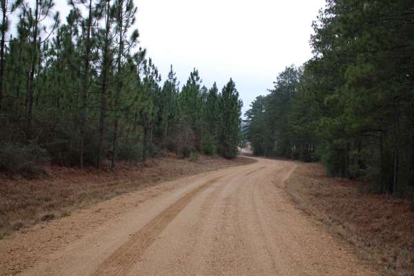
Plane Road (545)
Starting south of Highway 84 on Plane Road this maintained gravel road ends at 5801 Road. The open forest provides excellent nature and wildlife viewing. Explore dispersed camping and nature hikes. This 76,893.76 acre National Forest has a lot to offer to those who want to explore it. You may camp i...
Learn more about Plane Road (545)
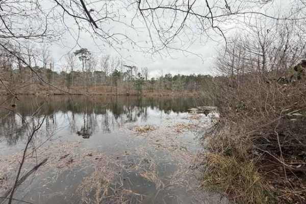
Woodward Branch
This trail provides a scenic, wooded drive through the Kisatchie National Forest and ends with access to the Kincaid Reservoir. Most of the trail is a well-maintained gravel road that is traversable with 2WD. The gravel road ends in a wide area that provides room for parking if you prefer to hike th...
Learn more about Woodward Branch
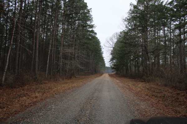
Dickerson Road (522)
Dickerson Road makes up this trail through the Kistachie National Forest. Starting off State Route 1228 and heading west this trail ends at Highway Parish Road 560. Several short side trails are available to explore. Nature and wildlife viewing can be enjoyed in these areas. This maintained gravel r...
Learn more about Dickerson Road (522)
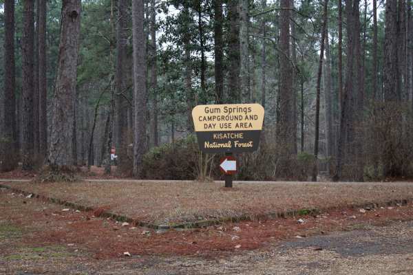
Gum Springs Campground
Gum Springs Campground and Lookout Tower are at the south end of this trail. This trail starts south of Highway 156. Consisting of Carpenter Road, Bright Road, and Range road these maintained gravel roads offer a fun ride. Enjoy nature and wildlife viewing as you travel this section of forest. Cross...
Learn more about Gum Springs Campground
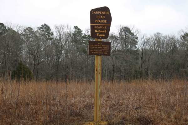
Gum Springs and Fowler
This trail includes Gum Springs Road and Fowler Road. These roads are maintained gravel roads with a nice gravel content. These roads can still be slippery when wet. This trail ends at State Road 156 in Coldwater. The open forest provides good viewing of wildlife and possible dispersed camping. Expl...
Learn more about Gum Springs and Fowler
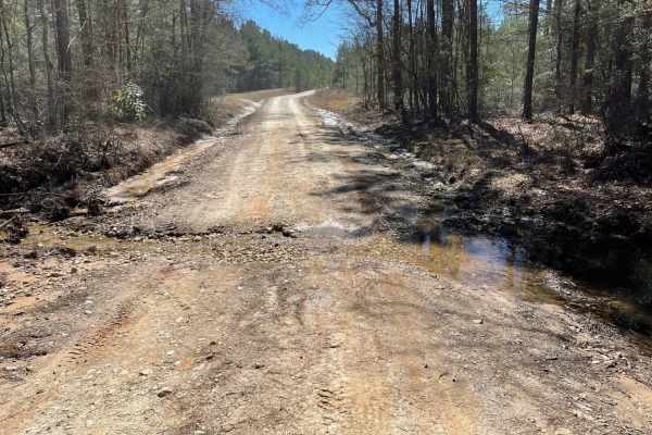
Red Hollow Run
Red Hollow Run offers off-roaders an enjoyable 15-mile journey through the scenic piney woods of East Texas just north of Livingston, making it an ideal choice for scenic cruisers and beginners. This gentle route features a pleasant mix of gravel and classic East Texas red dirt, navigating a rolling...
Learn more about Red Hollow Run
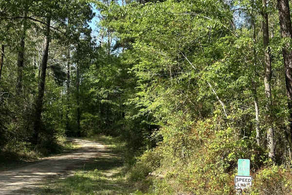
Stubblefield Church
Stubblefield Church is a scenic route that runs through a mix of Davy Crockett National Forest and surrounding private land, offering a relaxed drive through the piney woods and rural East Texas. The road provides a blend of shaded forest sections and more open areas, making for a quiet and enjoyabl...
Learn more about Stubblefield Church

Longleaf Route
Beautiful mostly maintained forest roads, not too rough but there are some deep ruts at the time I drove these along the sides of the roads. The area is full of beautiful Longleaf Pine Trees, and there's a hidden lake see if you can find it so you might want to bring a fishing pole or a kayak.
Learn more about Longleaf Route
Beginner ATV trails near Hemphill, Texas
Explore ATV-friendly trails near you. These trails are accessible for vehicles up to 50 inches wide, perfect for ATVs and smaller off-road machines.
Kisatchie Falls
Starting from Highway 118, this trail starts on a gravel, maintained road, then turns to National Forest dirt road. The trail travels through both private and National Forest land, so be sure to follow all posted signs. The trail offers a few places to camp along Kisatchie Bayou with sandbars and fi...
Learn more about Kisatchie Falls
Kurthwood Road
Kurthwood Road is a point-to-point maintained Forest Service road. Connecting Highway 117 on the west end to Highway 118 on the north end, Kurthwood Road is a great trail to explore more challenging side trails ranging from 0.25 miles to 2.8 miles. The road is a mixture of dirt, sand, and gravel. Th...
Learn more about Kurthwood Road
Sandstone
Great trail that is well maintained and easily rideable by following the green arrows. A lot of ups/downs/left/rights with some nice elevation changes for central LA. Very fun trail for all variety of riders from young to old. Mostly 2 track for the whole trail but a very enjoyable 2 track. The t...
Learn more about Sandstone
Kisatchie National Forest Camp and Trail
Kisatchie National Forest Camp and Trail is an easy, 16-mile off-road route through the scenic pine hills of Louisiana's Kisatchie Ranger District. Winding through dense longleaf pines and hardwood hollows, the well-maintained dirt and gravel roads are suitable for standard four-wheel-drive and high...
Learn more about Kisatchie National Forest Camp and Trail
Beginner UTV/side-by-side trails near Hemphill, Texas
Find UTV and side-by-side trails near you. These trails accommodate vehicles up to 60 inches wide, ideal for UTVs, side-by-sides, and wider off-road rigs.
Kisatchie Falls
Starting from Highway 118, this trail starts on a gravel, maintained road, then turns to National Forest dirt road. The trail travels through both private and National Forest land, so be sure to follow all posted signs. The trail offers a few places to camp along Kisatchie Bayou with sandbars and fi...
Learn more about Kisatchie Falls
Kurthwood Road
Kurthwood Road is a point-to-point maintained Forest Service road. Connecting Highway 117 on the west end to Highway 118 on the north end, Kurthwood Road is a great trail to explore more challenging side trails ranging from 0.25 miles to 2.8 miles. The road is a mixture of dirt, sand, and gravel. Th...
Learn more about Kurthwood Road
Kisatchie National Forest Camp and Trail
Kisatchie National Forest Camp and Trail is an easy, 16-mile off-road route through the scenic pine hills of Louisiana's Kisatchie Ranger District. Winding through dense longleaf pines and hardwood hollows, the well-maintained dirt and gravel roads are suitable for standard four-wheel-drive and high...
Learn more about Kisatchie National Forest Camp and Trail
County Road 1155
County Road 1155 is located within the Davy Crockett National Forest just east of Ratcliff, Texas. It is a great way to take a quick break from highway driving and explore the scenic route. This trail runs east to west through the National Forest and provides a simple dirt road drive through the bea...
Learn more about County Road 1155
The onX Offroad Difference
onX Offroad combines trail photos, descriptions, difficulty ratings, width restrictions, seasonality, and more in a user-friendly interface. Available on all devices, with offline access and full compatibility with CarPlay and Android Auto. Discover what you're missing today!
Open Trail Map