
Beginner Off-Road Trails
Near Fulton, Kentucky
Explore All Beginner Trails Near Fulton, Kentucky
Beginner Off-Road Trails Near Fulton, Kentucky
Discover the best beginner-friendly off-road trails near you. These easier, lower-rated trails are a great place to start — browse trail maps, check difficulty ratings, and find your next adventure.
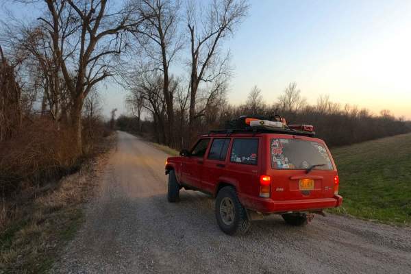
Wolf Bayou Road
Wolf Bayou Road is a gravel access road to the Wolf Bayou section of the greater Black Island Conservation Area, managed by the Missouri Department of Conservation. The Wolf Bayou is a fish lover's and waterfowl hunter's little hidden gem, featuring several water channels to access the rest within t...
Learn more about Wolf Bayou Road
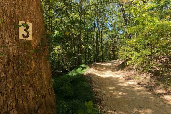
3 to 4 Road
The 3 to 4 Road, is a semi-maintained creek gravel and dirt primary road, connecting point to point from the 3 intersection to the 4 intersection in Turkey Bay OHV, within the Land Between the Lakes National Recreation Area. Its official ID is part of Forestry M01. The Road is a short and simple exa...
Learn more about 3 to 4 Road
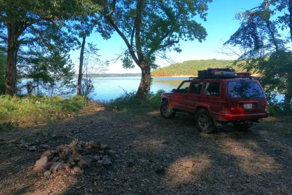
Mays Hollow Road - FS 343
Mays Hollow Road FS 343 is a natural-improved forestry road through the southeast corner of the southern Kentucky section, Kentucky Lake side, of the Land Between the Lakes National Recreation Area. This trail is placed along the hillside leading from Eagle Point ridge top to the south Turkey Bay sh...
Learn more about Mays Hollow Road - FS 343
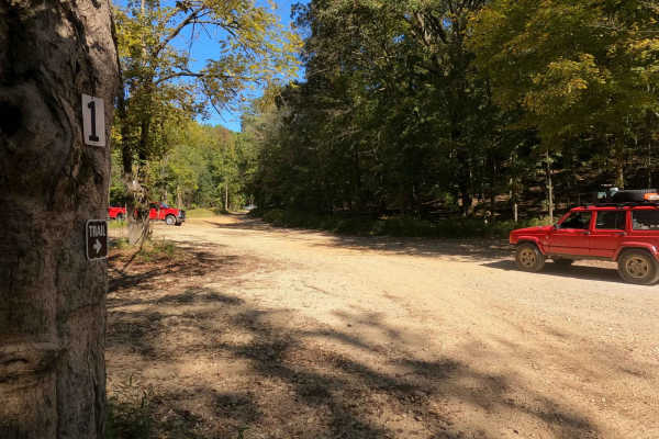
1 to 2 Road
The 1 to 2 Road, is a semi-maintained creek gravel and dirt primary road, with natural tendencies, connecting point to point from the 1 intersection to the 2 intersection in Turkey Bay OHV, within the Land Between the Lakes National Recreation Area. Its official ID is part of Forestry M01. After get...
Learn more about 1 to 2 Road
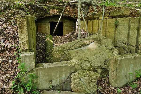
Forest Service Road 403
Forest Service Road 403 intersects with FSR 230 in the southwestern section of Land Between the Lakes and is a part of the Forest Service Road System at LBL. The trailhead is marked with a small numbered sign. The trail takes a southwesterly route and ends at the shoreline of Kentucky Lake in Lost B...
Learn more about Forest Service Road 403
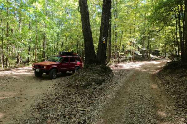
2 to 3 Road
The 2 to 3 Road is a semi-maintained creek gravel and dirt primary road, with natural tendencies, connecting point to point from the 2 intersection at the "V Tree" to the 3 intersection in Turkey Bay OHV, within the Land Between the Lakes National Recreation Area. Its official ID is part of Forestry...
Learn more about 2 to 3 Road
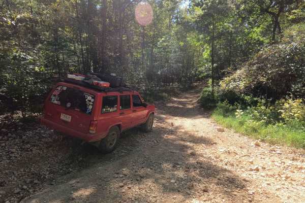
3 to A Road
The 3 to A Road is a semi-maintained primary road with a blend of dirt and natural rock, connecting point to point from the 3 intersection to the A intersection within the Land Between the Lakes National Recreation Area. Its official ID is part of Forestry M04. Going north to south at the 3 intersec...
Learn more about 3 to A Road
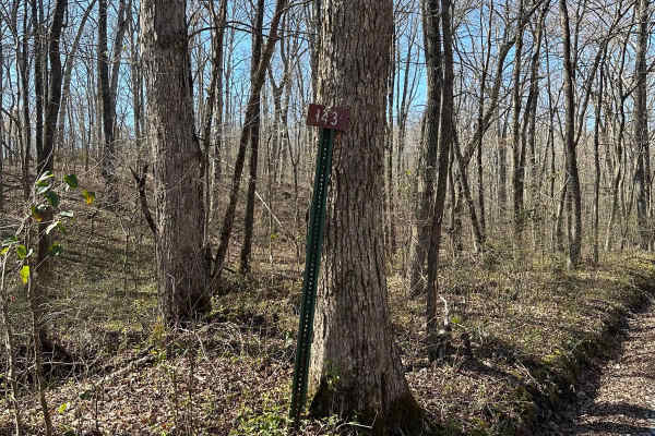
FS 143
FS 143 is somewhat hidden away from the rest of the Forest Service roads amongst Land Between the Lakes. It is accessed through FS 141. It has a few tight paths through trees and a water crossing through a creekbed. It dead-ends into a power/gas line track and you will have to turn around and come b...
Learn more about FS 143
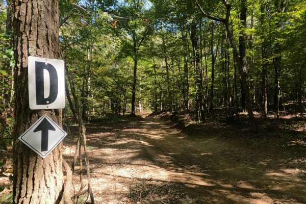
2 to D Road
The 2 to D Road is a semi-maintained creek gravel and dirt primary road, with natural tendencies, connecting point to point from the 2 intersection to the D intersection in Turkey Bay OHV, within the Land Between the Lakes National Recreation Area. Its official ID is the Forestry M05. At the 2 inter...
Learn more about 2 to D Road
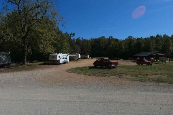
Mays Camp - FS 167 D2
The Mays Camp, also referred to as Turkey Trot Camp, is a popular camp road at Turkey Bay OHV, within the Land Between the Lakes National Recreation Area. Its pet name and official ID is Mays Camping Area FS 167 Spur D2. It features a flat-laying road starting with the small event pavilion and Turke...
Learn more about Mays Camp - FS 167 D2
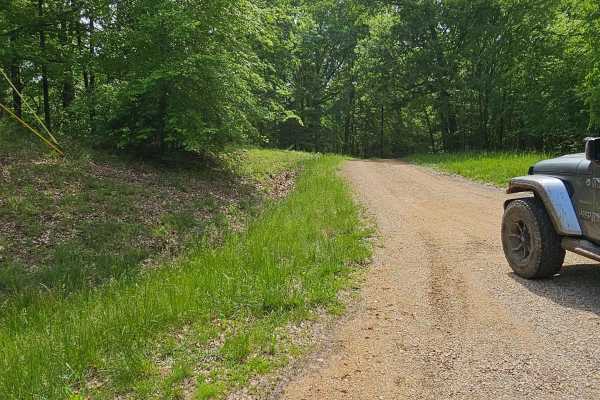
Forest Service Road 401
Forest Service Road 401 is a very short but fairly technical descent toward the shoreline of Kentucky Lake. The trailhead is marked, intersects with FSR 230 or Fort Henry Road, and descends to the west and south. A beautifully wooded landscape shows a bit of use on this trail. The trail consists of ...
Learn more about Forest Service Road 401
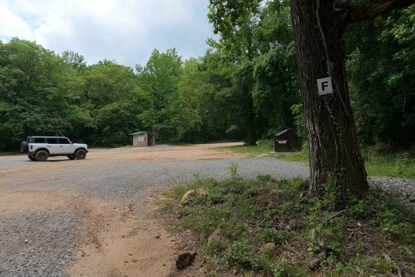
F to E Road
The Turkey Bay F to E Road, is a generally maintained primary gravel/dirt road connecting point to point from the F intersection to E intersection inside the Turkey Bay OHV Area, within the Land Between the Lakes National Recreation Area, it is officially IDs under part of the Forestry M02. The road...
Learn more about F to E Road
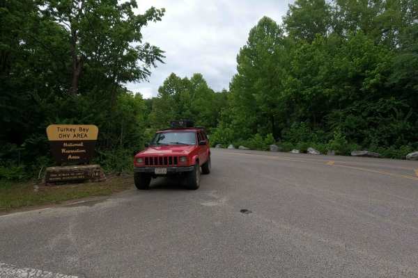
Turkey Bay Gate FSR 167
Turkey Bay Gate FSR 167 is the paved entry to gravel main hub and parking section of the Turkey Bay OHV Area, within the Land Between the Lakes National Recreation Area. At the entry you pass the picture worthy Turkey Bay OHV forestry sign, which shortly leads you to the sign in and fee gate house. ...
Learn more about Turkey Bay Gate FSR 167
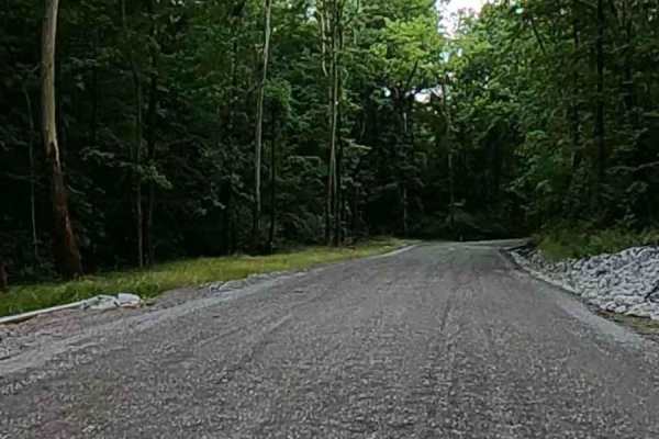
Turkey Creek Road FSR 167
The Turkey Creek Road FSR 167, is the Gravel main hub road and parking section along the southern boundary of the Turkey Bay OHV Area, within the Land Between the Lakes National Recreation Area. The road features generally easy-riding gravel for the first 3/4 of its length, crossing a few mild low w...
Learn more about Turkey Creek Road FSR 167
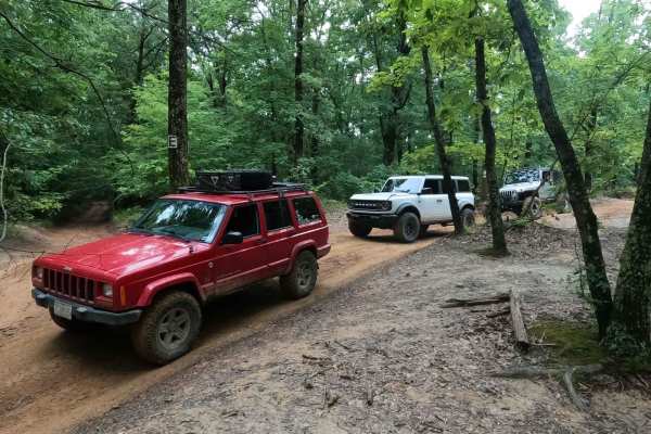
D to E Road
The Turkey Bay E to D Road is a generally maintained primary gravel/dirt road connecting point to point from the E intersection to the D intersection inside the Turkey Bay OHV area, within the Land Between the Lakes National Recreation Area, this road is part of the official Forest route M02. This r...
Learn more about D to E Road
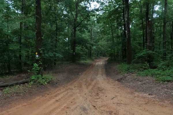
D to 5 Road
The Turkey Bay D to 5 Road is a generally maintained primary dirt road connecting point to point from the D intersection to 5 intersection inside the Turkey Bay OHV area, within the Land Between the Lakes National Recreation Area, this road is part of the official Forest route M02. This road leads t...
Learn more about D to 5 Road
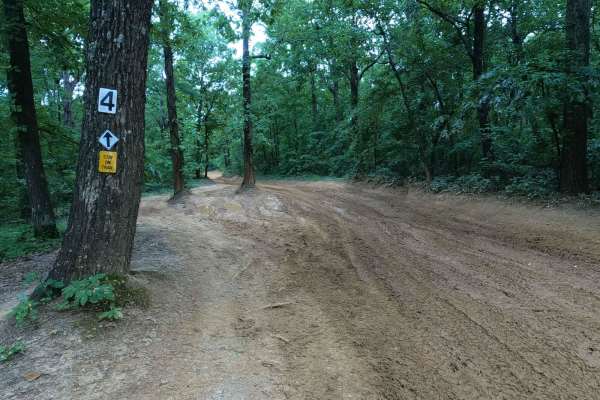
5 to 4 Road
The 5 to 4 Road is a semi-maintained, creek gravel and dirt primary road connecting point to point from the 5 intersection and going downhill to the 4 intersection in Turkey Bay OHV, within the Land Between the Lakes National Recreation Area. Its official ID is forestry M01. The road on its eastern ...
Learn more about 5 to 4 Road
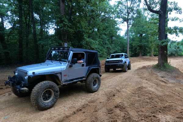
6 to 5 Road
The 6 to 5 Road is a semi-maintained, gravel and dirt primary road with natural tendencies, connecting point to point from the 6 intersection and going uphill to the 5 intersection in Turkey Bay OHV, within the Land Between the Lakes National Recreation Area. Its official ID is forestry M01. The roa...
Learn more about 6 to 5 Road
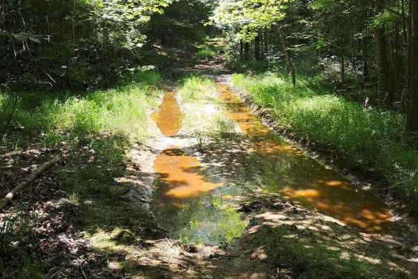
FS 402
Fun trail, lots of puddling, and ways to get your vehicle dirty. Few washouts and slippery areas. There is a tricky spot roughly halfway through where your left side will be much lower than the right side. It does just end at an opening and does not continue past. Good spot to turn around and do it ...
Learn more about FS 402
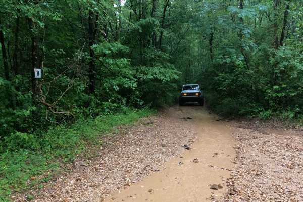
8 to E Road
The Turkey Bay 8 to E Road is a generally maintained primary gravel/dirt road connecting point to point from the 8 intersection to E intersection inside the Turkey Bay OHV area, within the Land Between the Lakes National Recreation Area, this road's official Forest ID is the M06. The road begins on ...
Learn more about 8 to E Road
Beginner ATV trails near Fulton, Kentucky
Explore ATV-friendly trails near you. These trails are accessible for vehicles up to 50 inches wide, perfect for ATVs and smaller off-road machines.
3 to 4 Road
The 3 to 4 Road, is a semi-maintained creek gravel and dirt primary road, connecting point to point from the 3 intersection to the 4 intersection in Turkey Bay OHV, within the Land Between the Lakes National Recreation Area. Its official ID is part of Forestry M01. The Road is a short and simple exa...
Learn more about 3 to 4 Road
1 to 2 Road
The 1 to 2 Road, is a semi-maintained creek gravel and dirt primary road, with natural tendencies, connecting point to point from the 1 intersection to the 2 intersection in Turkey Bay OHV, within the Land Between the Lakes National Recreation Area. Its official ID is part of Forestry M01. After get...
Learn more about 1 to 2 Road
2 to 3 Road
The 2 to 3 Road is a semi-maintained creek gravel and dirt primary road, with natural tendencies, connecting point to point from the 2 intersection at the "V Tree" to the 3 intersection in Turkey Bay OHV, within the Land Between the Lakes National Recreation Area. Its official ID is part of Forestry...
Learn more about 2 to 3 Road
3 to A Road
The 3 to A Road is a semi-maintained primary road with a blend of dirt and natural rock, connecting point to point from the 3 intersection to the A intersection within the Land Between the Lakes National Recreation Area. Its official ID is part of Forestry M04. Going north to south at the 3 intersec...
Learn more about 3 to A Road
Beginner UTV/side-by-side trails near Fulton, Kentucky
Find UTV and side-by-side trails near you. These trails accommodate vehicles up to 60 inches wide, ideal for UTVs, side-by-sides, and wider off-road rigs.
3 to 4 Road
The 3 to 4 Road, is a semi-maintained creek gravel and dirt primary road, connecting point to point from the 3 intersection to the 4 intersection in Turkey Bay OHV, within the Land Between the Lakes National Recreation Area. Its official ID is part of Forestry M01. The Road is a short and simple exa...
Learn more about 3 to 4 Road
1 to 2 Road
The 1 to 2 Road, is a semi-maintained creek gravel and dirt primary road, with natural tendencies, connecting point to point from the 1 intersection to the 2 intersection in Turkey Bay OHV, within the Land Between the Lakes National Recreation Area. Its official ID is part of Forestry M01. After get...
Learn more about 1 to 2 Road
2 to 3 Road
The 2 to 3 Road is a semi-maintained creek gravel and dirt primary road, with natural tendencies, connecting point to point from the 2 intersection at the "V Tree" to the 3 intersection in Turkey Bay OHV, within the Land Between the Lakes National Recreation Area. Its official ID is part of Forestry...
Learn more about 2 to 3 Road
3 to A Road
The 3 to A Road is a semi-maintained primary road with a blend of dirt and natural rock, connecting point to point from the 3 intersection to the A intersection within the Land Between the Lakes National Recreation Area. Its official ID is part of Forestry M04. Going north to south at the 3 intersec...
Learn more about 3 to A Road
The onX Offroad Difference
onX Offroad combines trail photos, descriptions, difficulty ratings, width restrictions, seasonality, and more in a user-friendly interface. Available on all devices, with offline access and full compatibility with CarPlay and Android Auto. Discover what you're missing today!
Open Trail Map