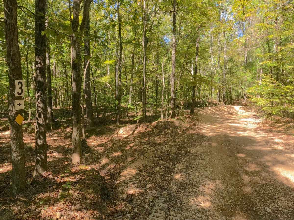
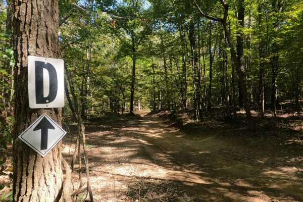
Trail Overview
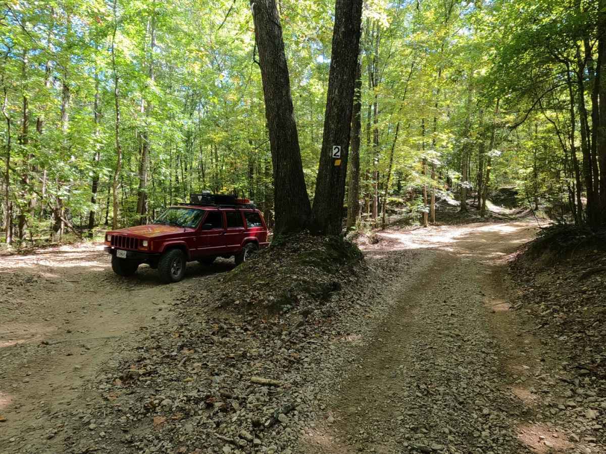
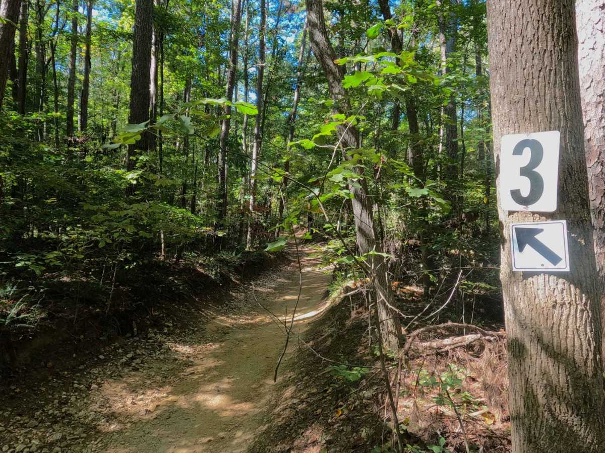
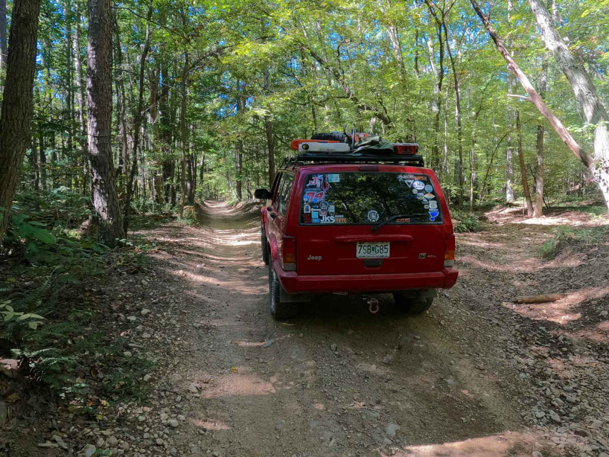
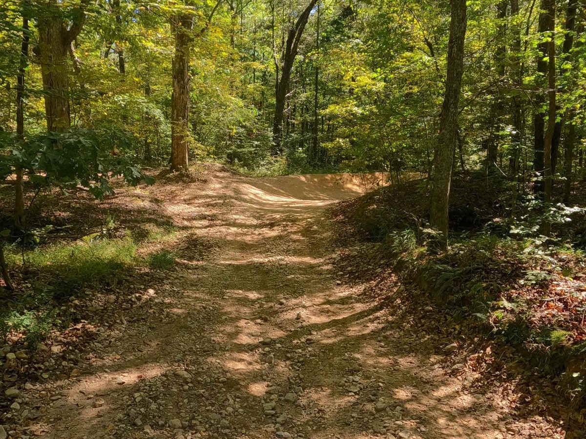
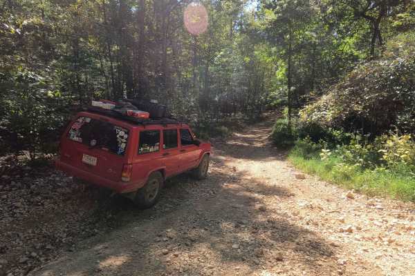
The 2 to 3 Road is a semi-maintained creek gravel and dirt primary road, with natural tendencies, connecting point to point from the 2 intersection at the "V Tree" to the 3 intersection in Turkey Bay OHV, within the Land Between the Lakes National Recreation Area. Its official ID is part of Forestry M01. This is the shortest primary road within the park when headed westbound. It consists of a short straightaway off the 2 intersection, featuring small whoops leading to a zig-zag of turns through some low-laying small water collection spots, then quickly ends at the 3 intersection.
Difficulty
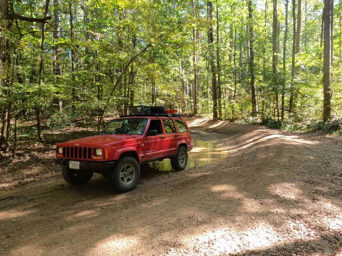
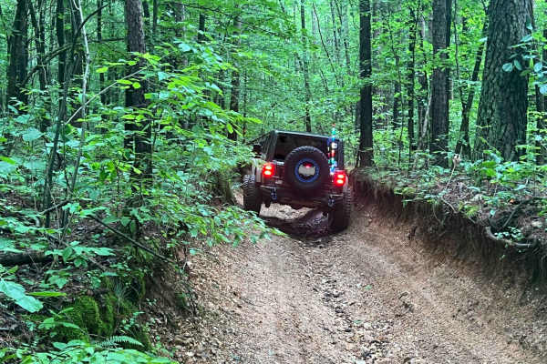
The 2 to 3 Road is simple, consisting of user-polished dirt and natural coarse gravel mixed base on mostly flat valley bottom land, featuring small whoops along the straightaways and small hard-bottomed water collection holes at the two hard banked turns in the western portion of the road. It's given a 2/10 base rating for this simplicity, but just be mindful that the water depth could increase in times of heavy rain and wet conditions, as the area that the water collection spots rest on in the trail are feeder creeks leading to the North Middle Bay at Turner Hollow.