
Beginner Off-Road Trails
Near Fraser, Colorado
Explore All Beginner Trails Near Fraser, Colorado
Beginner Off-Road Trails Near Fraser, Colorado
Discover the best beginner-friendly off-road trails near you. These easier, lower-rated trails are a great place to start — browse trail maps, check difficulty ratings, and find your next adventure.
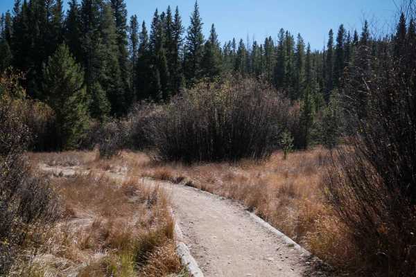
Elk Meadow ATV
This is a very easy and wide two-track that goes through the Arapaho National Forest for a mile. It goes through grassy meadows and pine trees, with small loose rocks on the surface, shallow ruts, and big rollers. It winds through the trees, with some sharp corners, and small rocks filling in the ru...
Learn more about Elk Meadow ATV
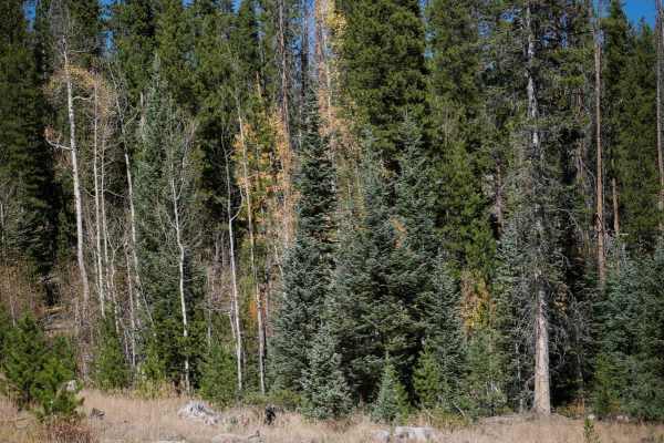
Double Bit
This is one of a few single tracks within the Elk Meadows Trail System near Fraser, Colorado. It starts off as a tight and winding trail through the pines and aspens, with very quick and sharp corners through the trees. The trail itself is very smooth and flowy, with not many rocks. It crosses a sma...
Learn more about Double Bit
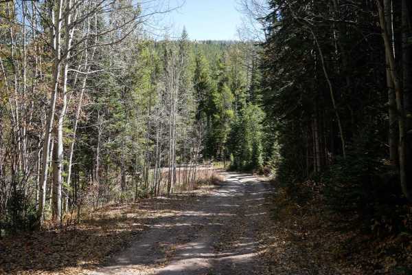
D2
D2 is a 1.6-mile-long ATV trail in the Elk Meadow Trail System near Fraser, Colorado. The west end starts behind a fence on a wide path that is road-width, going straight and fast between pines and aspens. There are some ruts through the trail and a bit of loose and embedded rock, but it's mostly fl...
Learn more about D2
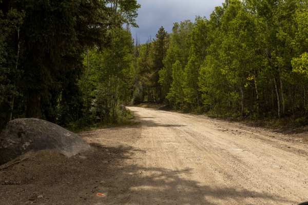
Byers Peak
Byers Peak Trail is a wide, mostly easy forest route that steadily climbs from start to finish. The trail offers no obstacles for vehicles, making it accessible to a wide range of drivers. The route features some washboard sections and occasional blind corners, with the final stretch becoming bumpy ...
Learn more about Byers Peak
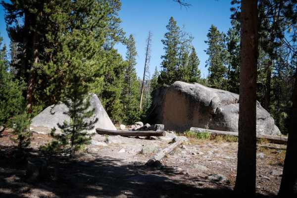
D4
This is a very short single track that connects WTB down to Byers Peak Road. At the northern entrance, there is a nonmotorized segment of D4 as well, so you want to make sure to stay on the motorized section. It's a straight and flat trail through pine trees and meadows and is wide between the trees...
Learn more about D4
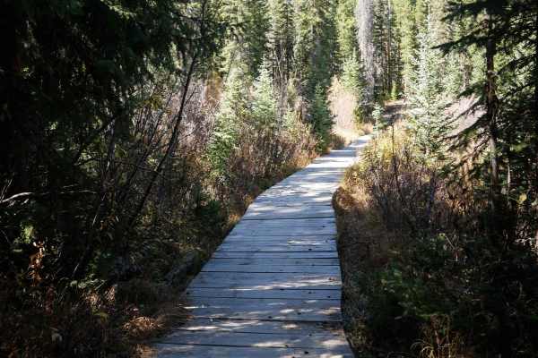
Sunken Bridges ATV
Sunken Bridges is a short ATV trail in the Elk Meadow trail system near Fraser, Colorado. It connects the northern part of the trail system down to the southern trails like Elk Creek Loop without having to do as much road mileage. It's easy for the entire .6 miles. It's straight and flat and wide be...
Learn more about Sunken Bridges ATV
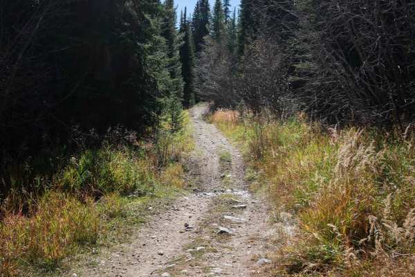
Elk Creek ATV Loop
The Elk Creek Loop makes a 4-mile loop off of the Upper Elk Creek ATV Trail. The east entrance starts as a wide ATV trail between the pine trees, with small pieces of rock in the trail. It has sudden dips and rollers to watch out for, and branches sticking over the trail. The trail splits for the no...
Learn more about Elk Creek ATV Loop
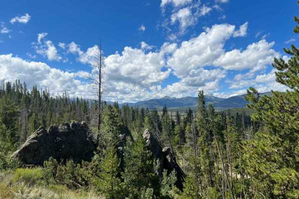
Strawberry BLM Road #2751
Strawberry BLM Road #2751 is an excellent route for beginners, campers, and scenic drivers looking to explore the beautiful Fraser Valley with views of Byers Peak. Spanning approximately 16.9 miles near Tabernash, Colorado, this trail offers a highly accessible adventure that climbs from an elevatio...
Learn more about Strawberry BLM Road #2751
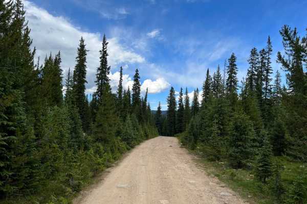
Meadow Creek Reservoir CR 84
CR 84 begins just east of Highway 40 and is the primary access to Meadow Creek Reservoir. This route follows Meadow Creek, which provides ample dispersed camping opportunities. The reservoir is a popular summer beach hangout with beautiful views, fishing, hiking, camping, paddle boarding, and lots o...
Learn more about Meadow Creek Reservoir CR 84
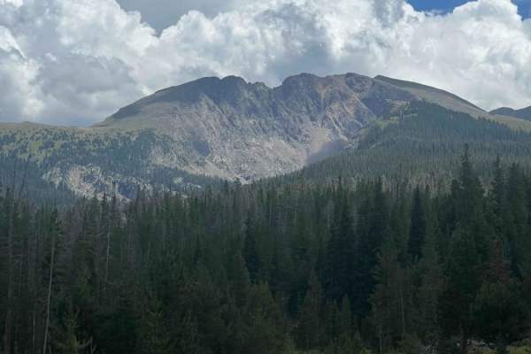
Meadow Creek Reservoir CR 848
This scenic 12.6-mile point-to-point route offers four-wheel-drive enthusiasts, SxSs, and high-clearance vehicles an adventurous alternative climb to the pristine waters of Meadow Creek Reservoir. Starting along the heavily eroded Hurd Creek Road, the climb demands careful tire placement over bumpy ...
Learn more about Meadow Creek Reservoir CR 848
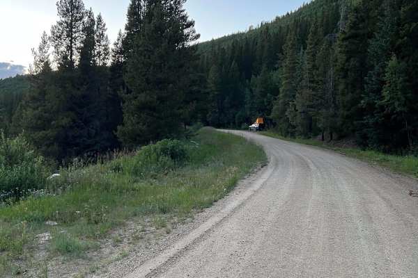
Waterboard Rd - FS 128
This route begins just north of Mary Jane Road off of Highway 40. It follows the Fraser River diversion canal with access to numerous hiking trails and dispersed campsites along the way. There are great views of Winter Park Ski Resort as well. The route terminates with the Rollins Pass West trail, w...
Learn more about Waterboard Rd - FS 128

Cottonwood Pass
This is a gravel road that was the earliest route into Sulphur Springs from the East. Surrounded by established ranch land and scattered aspen and pine trees. Also known as County Road 55. The summit is at 8,904 feet. Perfect for fall peaking. There are some side trails (Big Meadows road) that are ...
Learn more about Cottonwood Pass
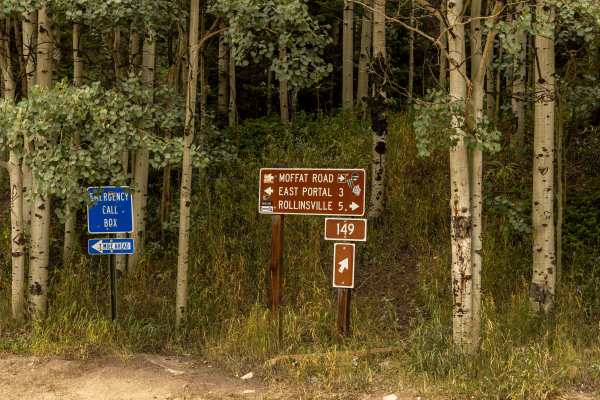
Rollins Pass East
Rollins Pass East is a scenic, historic trek ideal for stock four-wheel-drive vehicles and SxSs looking to explore the rugged beauty of the Continental Divide along an abandoned railway grade. Starting near Tolland at approximately 9,189 feet, this 12.1-mile route climbs steadily to a maximum elevat...
Learn more about Rollins Pass East
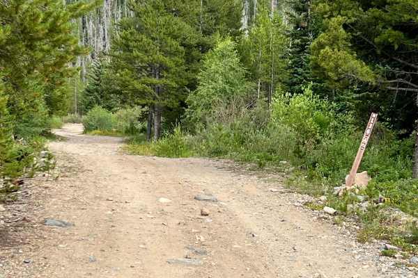
Lake Evelyn Road - FS 136
Forest Service Road 136, known as Lake Evelyn Road, branches off from Keyser Creek Road (FS 139) and heads east into a more remote and rugged section of the Arapaho National Forest. While it begins relatively smooth, the road quickly narrows to a single lane with limited pullouts, and the terrain be...
Learn more about Lake Evelyn Road - FS 136
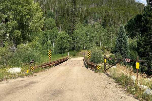
Keyser Creek Road - FS 139
Forest Service Road 139, also known as Keyser Creek Road, offers a scenic and peaceful off-road experience through the heart of Grand County. The trail begins just off County Road 3 near the Horseshoe Campground, where a single-lane bridge crosses Keyser Creek. From the start, FS 139 closely follows...
Learn more about Keyser Creek Road - FS 139
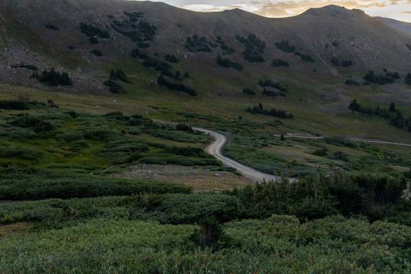
Jones Pass
Jones Pass is an ideal high-altitude route for intermediate offroaders seeking panoramic Rocky Mountain vistas and access to alpine tundra without requiring highly modified vehicles. This 6.9-mile scenic trail climbs over 2,200 feet from its starting point near the Henderson Mine, winding up to a sp...
Learn more about Jones Pass
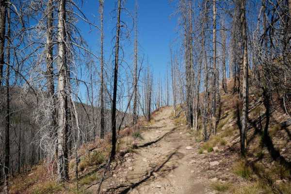
Richey Creek ATV Trail
Richey Creek is a wide two-track through pine trees, with small loose rocks in the trail. It has easy curves as it follows the edge of the mountain, with lots of branches and cut logs sticking out from the trees that you need to watch out for. It crosses a little muddy section, and goes pretty strai...
Learn more about Richey Creek ATV Trail
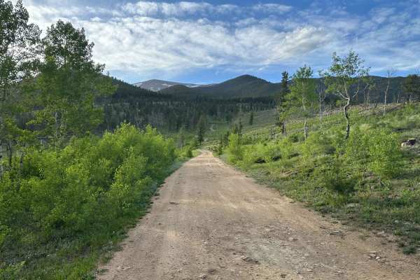
Mad Creek Road
A short drive from the town of Empire and just down the road from the popular Bill Moore Lake Trail, Mad Creek is a great off-road trail that gets passed up by many off-roaders. Whether seeking quiet summer seclusion or deep tire-swallowing winter snow, don't let this trail fall off your radar. Alon...
Learn more about Mad Creek Road
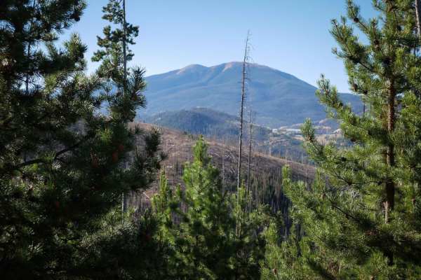
No See Um ATV Trail
This is a 5.5-mile-long ATV trail through the Arapahoe National Forest. The west end starts out behind a gate off of Keyser Ridge Road. It looks like an old Jeep road that has been repurposed into an ATV Trail. It goes straight and flat for a long while through pine trees along the edge of a hillsid...
Learn more about No See Um ATV Trail
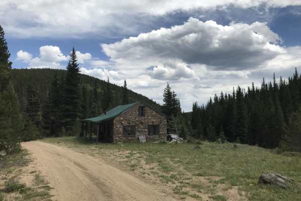
N Clear Creek Road
This trail is an offshoot from Apex Road. If you want something slightly more technically challenging than Apex, this is a fun alternative to explore. The trail is fairly tight. 4WD is required in a couple of steep sections with loose rock. Some of the trail runs through private property, but there ...
Learn more about N Clear Creek Road
Beginner ATV trails near Fraser, Colorado
Explore ATV-friendly trails near you. These trails are accessible for vehicles up to 50 inches wide, perfect for ATVs and smaller off-road machines.
Elk Meadow ATV
This is a very easy and wide two-track that goes through the Arapaho National Forest for a mile. It goes through grassy meadows and pine trees, with small loose rocks on the surface, shallow ruts, and big rollers. It winds through the trees, with some sharp corners, and small rocks filling in the ru...
Learn more about Elk Meadow ATV
D2
D2 is a 1.6-mile-long ATV trail in the Elk Meadow Trail System near Fraser, Colorado. The west end starts behind a fence on a wide path that is road-width, going straight and fast between pines and aspens. There are some ruts through the trail and a bit of loose and embedded rock, but it's mostly fl...
Learn more about D2
Sunken Bridges ATV
Sunken Bridges is a short ATV trail in the Elk Meadow trail system near Fraser, Colorado. It connects the northern part of the trail system down to the southern trails like Elk Creek Loop without having to do as much road mileage. It's easy for the entire .6 miles. It's straight and flat and wide be...
Learn more about Sunken Bridges ATV
Elk Creek ATV Loop
The Elk Creek Loop makes a 4-mile loop off of the Upper Elk Creek ATV Trail. The east entrance starts as a wide ATV trail between the pine trees, with small pieces of rock in the trail. It has sudden dips and rollers to watch out for, and branches sticking over the trail. The trail splits for the no...
Learn more about Elk Creek ATV Loop
Beginner UTV/side-by-side trails near Fraser, Colorado
Find UTV and side-by-side trails near you. These trails accommodate vehicles up to 60 inches wide, ideal for UTVs, side-by-sides, and wider off-road rigs.
Strawberry BLM Road #2751
Strawberry BLM Road #2751 is an excellent route for beginners, campers, and scenic drivers looking to explore the beautiful Fraser Valley with views of Byers Peak. Spanning approximately 16.9 miles near Tabernash, Colorado, this trail offers a highly accessible adventure that climbs from an elevatio...
Learn more about Strawberry BLM Road #2751
Meadow Creek Reservoir CR 84
CR 84 begins just east of Highway 40 and is the primary access to Meadow Creek Reservoir. This route follows Meadow Creek, which provides ample dispersed camping opportunities. The reservoir is a popular summer beach hangout with beautiful views, fishing, hiking, camping, paddle boarding, and lots o...
Learn more about Meadow Creek Reservoir CR 84
Meadow Creek Reservoir CR 848
This scenic 12.6-mile point-to-point route offers four-wheel-drive enthusiasts, SxSs, and high-clearance vehicles an adventurous alternative climb to the pristine waters of Meadow Creek Reservoir. Starting along the heavily eroded Hurd Creek Road, the climb demands careful tire placement over bumpy ...
Learn more about Meadow Creek Reservoir CR 848
Waterboard Rd - FS 128
This route begins just north of Mary Jane Road off of Highway 40. It follows the Fraser River diversion canal with access to numerous hiking trails and dispersed campsites along the way. There are great views of Winter Park Ski Resort as well. The route terminates with the Rollins Pass West trail, w...
Learn more about Waterboard Rd - FS 128
The onX Offroad Difference
onX Offroad combines trail photos, descriptions, difficulty ratings, width restrictions, seasonality, and more in a user-friendly interface. Available on all devices, with offline access and full compatibility with CarPlay and Android Auto. Discover what you're missing today!
Open Trail Map