
Beginner Off-Road Trails
Near Ferguson, Kentucky
Explore All Beginner Trails Near Ferguson, Kentucky
Beginner Off-Road Trails Near Ferguson, Kentucky
Discover the best beginner-friendly off-road trails near you. These easier, lower-rated trails are a great place to start — browse trail maps, check difficulty ratings, and find your next adventure.
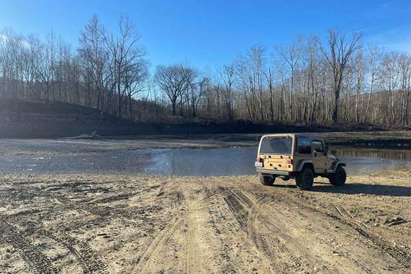
Oil Center WMA Main Via Ringgold Road
Note that this trail is impassable during high pool seasons of Lake Cumberland, from around March to October. Exercise caution and observe the water level. This route provides access through one of four roads to the Lake Cumberland WMA at Oil Center. Please keep in mind that this area is maintained ...
Learn more about Oil Center WMA Main Via Ringgold Road
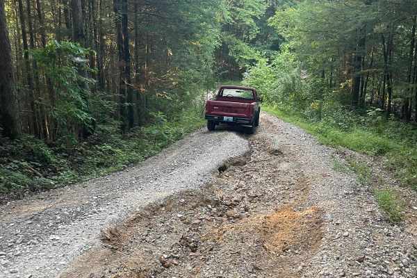
Bear Creek Falls (5138)
Access to a beautiful waterfall into the Rockcastle River. Characteristics of an old Forest Service Road. Large gravel, dirt, and shallow water crossings. Some washouts around one foot deep. Beautiful drive through a less-trafficked area of Daniel Boone National Forest. There is a possibility of dow...
Learn more about Bear Creek Falls (5138)
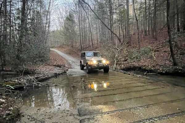
646A Straight Creek
This is a mostly well-maintained Forest Service road, with various developed water crossings. It provides access to Williams Siding Road (Williams Siding ATV trail) as well. Entry is through a residential area, so be courteous to the locals. This trail ends at a large turnaround/ undeveloped campin...
Learn more about 646A Straight Creek
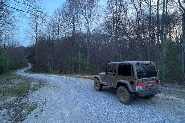
DBNF 4005
4005 is a mostly well-maintained Forest Service road, with large gravel for around three quarters of the road. Past that is a less-maintained but in good condition dirt trail. Access to 4005A is at the end of this trail. It would appear that some small cabins are being built towards the end of the r...
Learn more about DBNF 4005
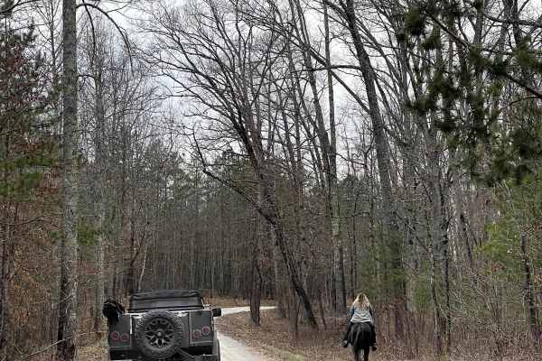
Curd Garden (FSR 193)
This is a scenic and well-maintained Forest Service road that is also a part of the Kentucky Adventure Trail Main 2 Route. This road leads south of the Laurel Lake area and into some of the great waterfall hikes around the Cumberland Falls area. It's an absolutely gorgeous area any time of the year.
Learn more about Curd Garden (FSR 193)
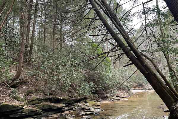
Dog Branch to Rooks Road
This road starts as a gravel road and leads to Rooks Road, which is slightly tighter. Part of the Scenic Kentucky Adventure Trail Main Section 2, this road has a beautiful waterfall to see, a pair of natural arches, and a shallow creek crossing. This portion of the KAT really offers a lot of beautif...
Learn more about Dog Branch to Rooks Road
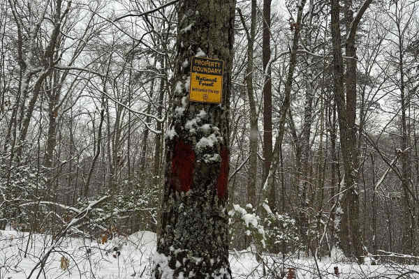
Wood Creek Lake - FS 4094
Wood Creek Lake - FS 4094 trail is off of Cromer Ridge Road or Rockcastle River Forestry Road is a gravel, rock, and dirt trail road that is somewhat maintained by the forest service. This road runs along some ridge lines with good views as it goes down into some low hollers as well, ending at Wood ...
Learn more about Wood Creek Lake - FS 4094
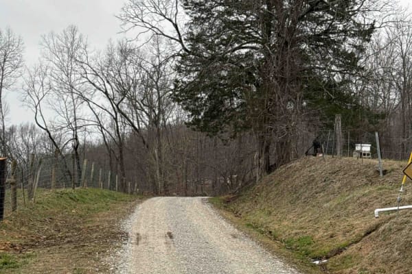
Sand Gap Road (FSR 731)
This is a dead-end Forest Service road. It likely has spectacular fall foliage, and there is a small cave entrance labeled on the Forest Service map. The "cave entrance" is less than expected, with litter and beer bottles spread around the area. Otherwise, this is a simple out-and-back trail with a ...
Learn more about Sand Gap Road (FSR 731)
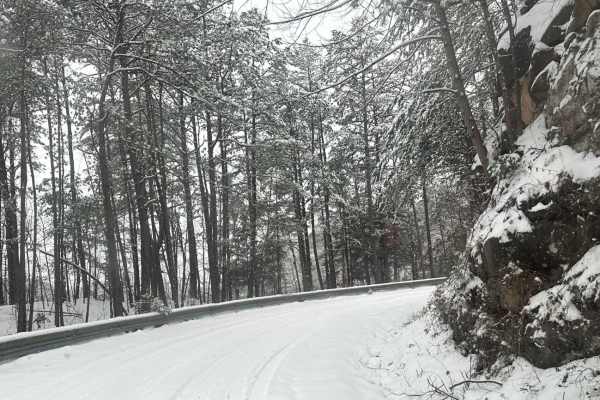
Cromer Ridge - 909
Cromer Ridge Road or Rockcastle River Forestry Road is a gravel, rock, and dirt trail road that is somewhat maintained by the forest service. This road runs along some ridge lines with good views as well as goes down into some low hollers as well, ending at the Rockcastle River.
Learn more about Cromer Ridge - 909
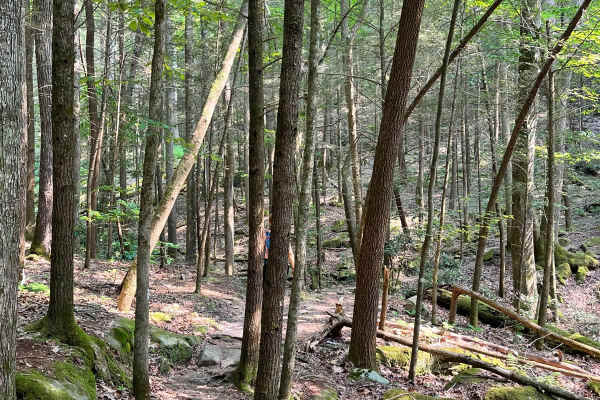
Dog Slaughter (FSR 195)
One of the best waterfall hikes in Kentucky lies along this well-maintained gravel forest road. Dog Slaughter Tail connects to Cumberland Falls Trail, with a great view coming along the bottom of the falls towards the State Park. There is a very heavy vehicle presence all along this road for hiking...
Learn more about Dog Slaughter (FSR 195)
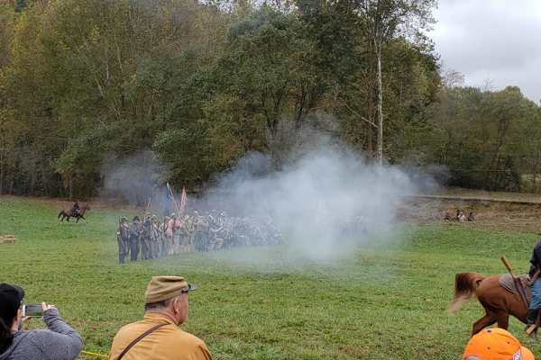
Rockcastle Exploring River Bypass
Rockcastle Exploring River Bypass is an easy, scenic gravel route ideal for beginners, families, and history buffs looking to explore the beautiful woodlands of Laurel County. Winding through the dense canopy of Kentucky’s mountainous terrain, this trail offers a relaxed driving experience accessibl...
Learn more about Rockcastle Exploring River Bypass
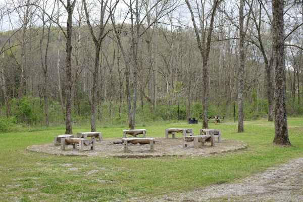
Rock Creek Road
Rock Creek Road parallels the stream from which it gets its name for approximately 8.2 miles. While there are several day use and dispersed campsites along the road it also passes by some private property. Rock Creek is stocked with rainbow by the Kentucky Department of Fish and Wildlife throughout ...
Learn more about Rock Creek Road
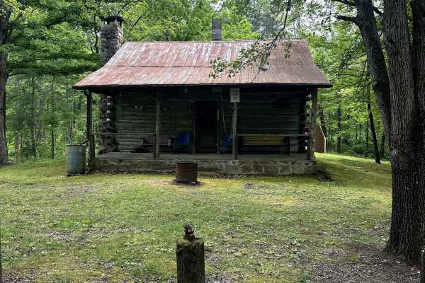
Bell Farm Road - FS 564
Bell Farm Road is a well-maintained, two-vehicle-wide gravel road that turns off of a Y in the road. This is a beautiful ride along some pastureland, and there is a nice overlook along the way. I did not see any camping opportunities along this route, although the map says it is permitted within 300...
Learn more about Bell Farm Road - FS 564
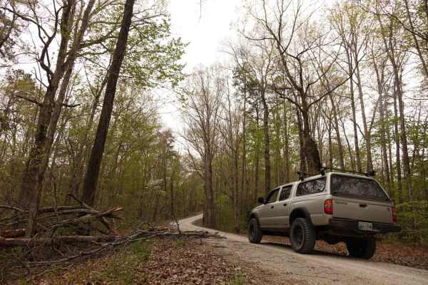
Dolan Mountain
Dolan Mountain Road is an easy, 4.2-mile scenic gravel route in the Daniel Boone National Forest that is perfect for beginners and stock SUVs looking to explore the Kentucky highlands. Climbing from Rock Creek at an elevation of 936 feet up to the ridge of Dolan Mountain at 1,579 feet, this well-mai...
Learn more about Dolan Mountain
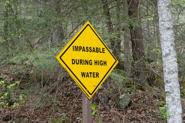
Woods Road
Woods Road is a great area that offers dispersed camping, campground camping, hiking, and fishing options all along the 7 mile stretch of gravel. Woods Road parallels Rock Creek for most of its length and provides a great base to further explore Daniel Boone National Forest and Big South Fork. Gobbl...
Learn more about Woods Road
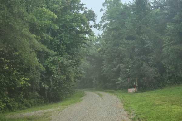
Ledbetter Road - FS 100
This is an easy single-lane road that dead-ends into a cemetery. There is room to go around slower vehicles. Multiple hiking trailheads are down this road; make sure to stay left at the split, as the right side is only for horses. Maintained road, but fallen trees after a storm are possible.
Learn more about Ledbetter Road - FS 100
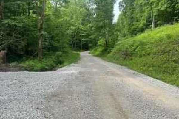
Wolf Creek Road
Wolf Creek Road follows Wolf Creek between Climax and Orlando, Kentucky. It's a county road and part of the Daniel Boone Backcountry Byway. It's a well-maintained gravel road with a lot of shade and areas of small creeks and streams to enjoy as you drive.
Learn more about Wolf Creek Road
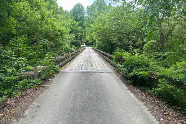
White Oak Branch Road - Horse Lick Creek
The trail starts as a gravel route and turns into rock, dirt, and mud. It is not very technical, but when wet, the slick mud and small ruts may cause hazards in some areas. Crossing the creek may be deep at some times in the season, and it is usually, on average, 18-20 inches deep.
Learn more about White Oak Branch Road - Horse Lick Creek
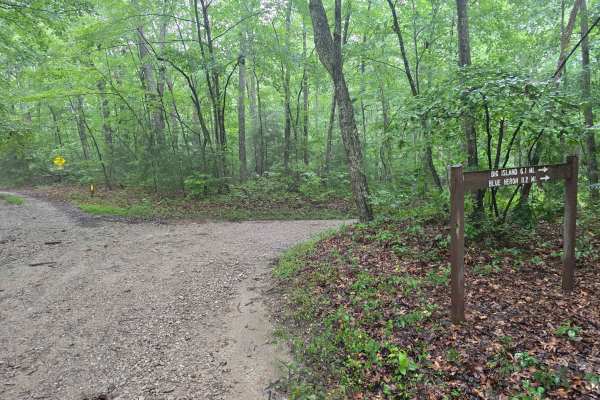
Laurel Ridge Road - FS 637
This is an easy single-lane gravel road that connects you from Forest Road 569 to Beech Grove Road. While the road is easy for 2WD or 4WD, this road is single-lane with not too many pull-off opportunities. After a rainstorm, you can encounter downed trees. Keep an eye out for the arch!
Learn more about Laurel Ridge Road - FS 637
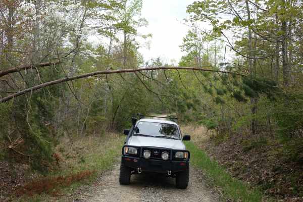
Lexton Mountain
Lexton Mountain is an ideal scenic getaway for casual offroaders looking to escape the typical valley-bottom routes and enjoy a peaceful ridge-top drive. Spanning approximately 2.5 miles through rolling forested terrain, this rough gravel two-track stays high on the ridge line, maintaining an elevat...
Learn more about Lexton Mountain
Beginner ATV trails near Ferguson, Kentucky
Explore ATV-friendly trails near you. These trails are accessible for vehicles up to 50 inches wide, perfect for ATVs and smaller off-road machines.
Oil Center WMA Main Via Ringgold Road
Note that this trail is impassable during high pool seasons of Lake Cumberland, from around March to October. Exercise caution and observe the water level. This route provides access through one of four roads to the Lake Cumberland WMA at Oil Center. Please keep in mind that this area is maintained ...
Learn more about Oil Center WMA Main Via Ringgold Road
Bear Creek Falls (5138)
Access to a beautiful waterfall into the Rockcastle River. Characteristics of an old Forest Service Road. Large gravel, dirt, and shallow water crossings. Some washouts around one foot deep. Beautiful drive through a less-trafficked area of Daniel Boone National Forest. There is a possibility of dow...
Learn more about Bear Creek Falls (5138)
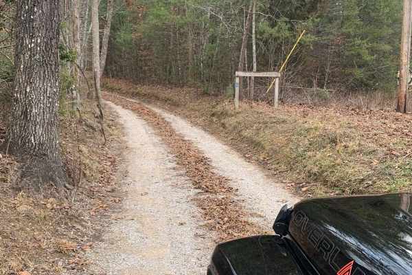
Bandy Creek Trek
This is a combination of dirt, gravel, and single-track in-the-woods roads. There really aren't a lot of difficult obstacles to make a note of other than a few areas that are washed out on Duncan Hollow Road. We had cell service off and on during this drive (Verizon). There weren't any great views a...
Learn more about Bandy Creek Trek
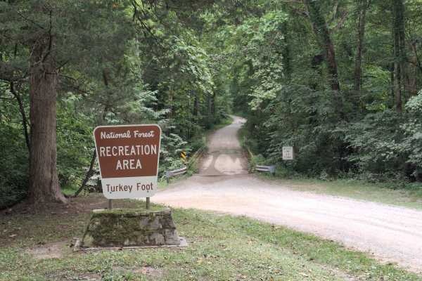
Turkey Foot Road - FS 4
Turkey Foot Road - FS 4, also known as Elster Road, is a scenic gravel road that winds through the Daniel Boone National Forest, providing access to recreation areas, forest roads, and dispersed camping opportunities. The route includes a single-lane bridge crossing and passes through beautiful hard...
Learn more about Turkey Foot Road - FS 4
Beginner UTV/side-by-side trails near Ferguson, Kentucky
Find UTV and side-by-side trails near you. These trails accommodate vehicles up to 60 inches wide, ideal for UTVs, side-by-sides, and wider off-road rigs.
Oil Center WMA Main Via Ringgold Road
Note that this trail is impassable during high pool seasons of Lake Cumberland, from around March to October. Exercise caution and observe the water level. This route provides access through one of four roads to the Lake Cumberland WMA at Oil Center. Please keep in mind that this area is maintained ...
Learn more about Oil Center WMA Main Via Ringgold Road
Bear Creek Falls (5138)
Access to a beautiful waterfall into the Rockcastle River. Characteristics of an old Forest Service Road. Large gravel, dirt, and shallow water crossings. Some washouts around one foot deep. Beautiful drive through a less-trafficked area of Daniel Boone National Forest. There is a possibility of dow...
Learn more about Bear Creek Falls (5138)
Dog Branch to Rooks Road
This road starts as a gravel road and leads to Rooks Road, which is slightly tighter. Part of the Scenic Kentucky Adventure Trail Main Section 2, this road has a beautiful waterfall to see, a pair of natural arches, and a shallow creek crossing. This portion of the KAT really offers a lot of beautif...
Learn more about Dog Branch to Rooks Road
Sand Gap Road (FSR 731)
This is a dead-end Forest Service road. It likely has spectacular fall foliage, and there is a small cave entrance labeled on the Forest Service map. The "cave entrance" is less than expected, with litter and beer bottles spread around the area. Otherwise, this is a simple out-and-back trail with a ...
Learn more about Sand Gap Road (FSR 731)
The onX Offroad Difference
onX Offroad combines trail photos, descriptions, difficulty ratings, width restrictions, seasonality, and more in a user-friendly interface. Available on all devices, with offline access and full compatibility with CarPlay and Android Auto. Discover what you're missing today!
Open Trail Map