
Beginner Off-Road Trails
Near Fairview, New York
Explore All Beginner Trails Near Fairview, New York
Beginner Off-Road Trails Near Fairview, New York
Discover the best beginner-friendly off-road trails near you. These easier, lower-rated trails are a great place to start — browse trail maps, check difficulty ratings, and find your next adventure.
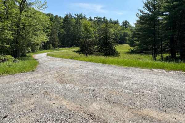
Rogue Harbor Road
This is a loose gravel road, most of which is suitable for two vehicles. There is nothing technical on this road; it is just a nice, easy drive, with views of the streams and a small bridge. There are areas to pull over and park, and to go hiking.
Learn more about Rogue Harbor Road
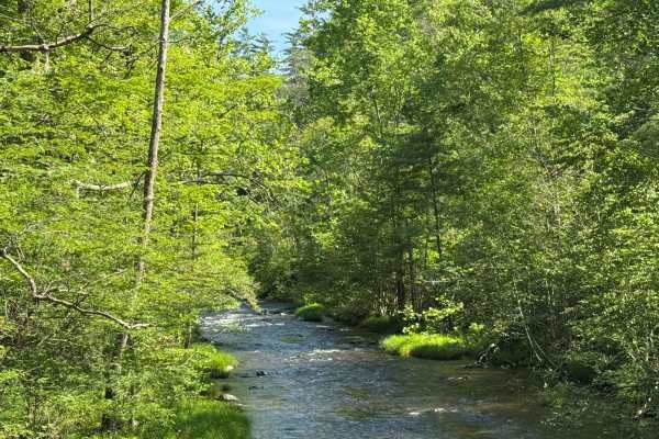
Cutler Road
This is a loose gravel road off of Lundy Road. Cross over a bridge and start climbing up a small hill. At the end turn around and head back to Lundy Road. There are sections to pull over and park to go hiking. Nothing technical, just a nice short ride.,
Learn more about Cutler Road
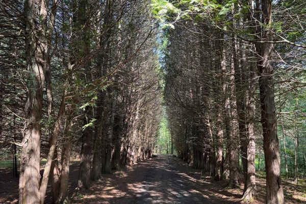
Eastern Boundary Trail
This is a short trail off Lundy Road that is a one-lane road with limited pull-offs. Some small water/mud holes. There is a section to park at the end and go hiking. There is also a small pond/lake that one of the hiking trails leads to.
Learn more about Eastern Boundary Trail
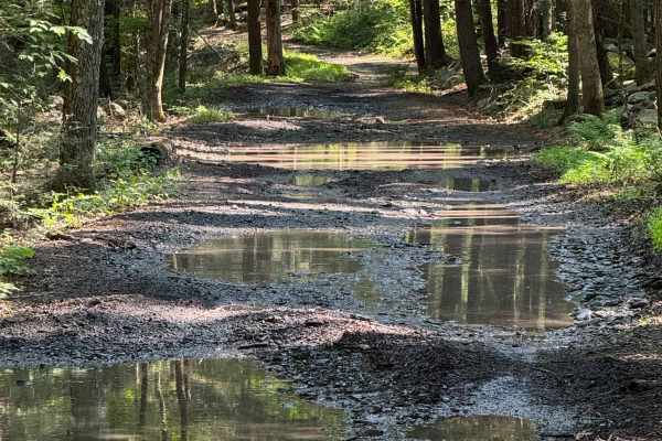
Lundy Road
This started out as a loose gravel, non-maintained 2-lane road, nothing technically. This follows a river where there are plenty of pull-offs to walk down to the river. Also, there are sections to pull over and park to go hiking. At about 4 miles in, this changes to a much more technical route. The ...
Learn more about Lundy Road
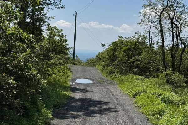
Fire Tower Road
This is a short, loose gravel section of road. Nothing technical at all, is one lane, but has pull-offs. There is a small parking section at the end for hiking. Will have to turn around at the end as it is a dead end.
Learn more about Fire Tower Road
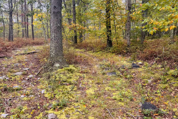
Vacant Lot Trail
This trail leads you to a lake at the end, where the old Shawanga Lodge used to stand. I didn't see any "no motorized vehicles beyond this point" or "no trespassing" signs until the end of the trail, where you hit a locked gate where the private property begins. Not much room at the end to turn arou...
Learn more about Vacant Lot Trail
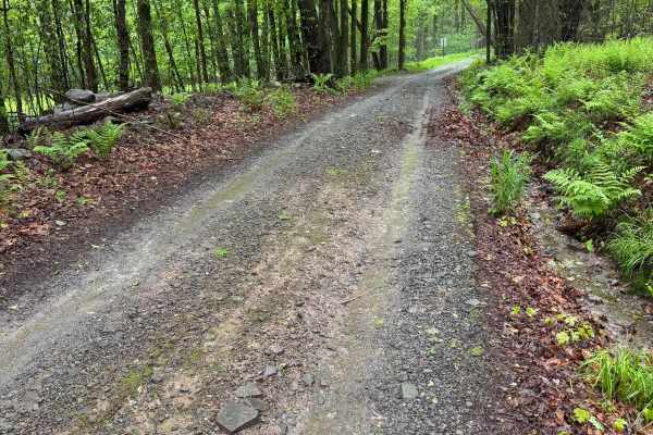
Moore Hill Road
This trail is a public road that is not maintained. It is a mix of packed and loose gravel with a few sections of puddles and rocks. There is nothing too technical here, and it is a one-lane trail with several spots to pull over. On rainy days, it will be a little slick, and some water will run down...
Learn more about Moore Hill Road
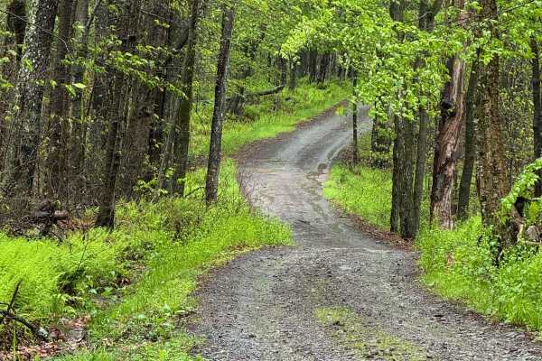
Barnes Road
This trail is a public road that is not maintained. It is a mix of packed and loose gravel with a few sections of puddles and rocks. It will be a little slick on rainy days, and some water will run down. There is nothing too technical here, and it is a one-lane trail with several spots to. Beautiful...
Learn more about Barnes Road
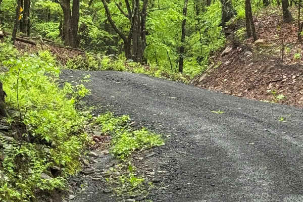
Denman Mountain Rd
This is a mix of packed and loose gravel. It is flat for the most part, nothing technical. There are several spots to pull over to let other vehicles go. The trail is a public town road that is not maintained and goes through a beautiful area.
Learn more about Denman Mountain Rd
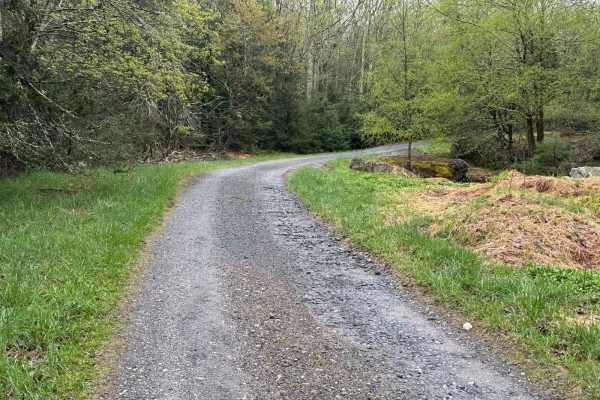
Wolf Brook Trail
This trail is a mix of packed and loose gravel. As you start to climb the hill, there are some sections that are washed out and have formed some deep ruts. When it rains, there are some deep, sandy puddles. At the end of this trail, there is a parking area for hiking trails that go to a waterfall an...
Learn more about Wolf Brook Trail
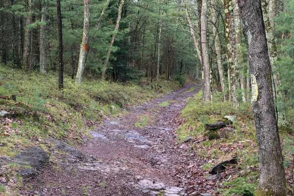
Cardiff Lane
This starts out as a dirt and rocky trail. As you move through it, it gets a little uneven in spots. The middle section has a turn up a small incline, which then leads to more dirt and grass. There isn't anything too technical, just a fun little trail.
Learn more about Cardiff Lane
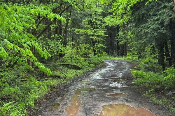
Basily Road
This trail started on packed dirt and gravel but changed to loose gravel and mud. This trail has limited pullouts to let vehicles pass. The hills are slick from washouts from the rain. The trail also gets very wet. When it rains, it has a lot of deep mudholes, and sections of the trail have water fl...
Learn more about Basily Road
Eden Road
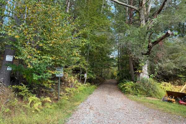
This is a non-maintained road that starts out with loose gravel and packed dirt. It changes to loose rock and mud. After rain, there will be lots of deeper holes that are full of water and mud. There are limited spots to pull over for other vehicles. At the end, you will have to turn around. There i...
Learn more about Eden Road
Mill Hollow Road
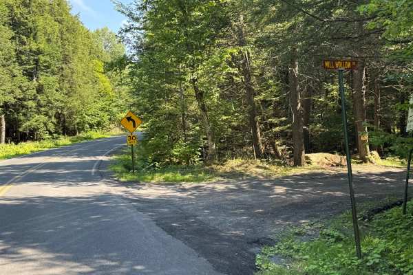
This is a loose stone and dirt road. This is a short section of road made up of loose stone and gravel. This road follows a river the whole way. There is nothing technical here; there are spots to pull over to let other vehicles go by.
Learn more about Mill Hollow Road
Hartwood Club Road to Whitehead/Prosper Davis Road
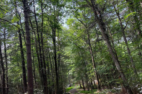
Entering off the Route 48 side, the trail begins as a graded gravel road through a private forest preserve. This section of trail is very scenic and has a couple of interesting sights alongside it. This section will be plowed in Winter. Random branches can be expected. The left-hand turn onto Whiteh...
Learn more about Hartwood Club Road to Whitehead/Prosper Davis Road
Townsend Hollow Road
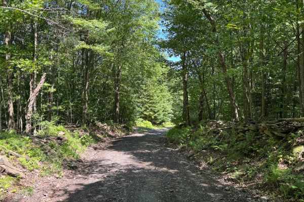
This is a non-maintained loose gravel road. There is nothing technical on this road. Some sections are one lane with room to pull over if needed. As you drive through, there are nice stone walls on some of the sections and an old car sitting in the woods.
Learn more about Townsend Hollow Road
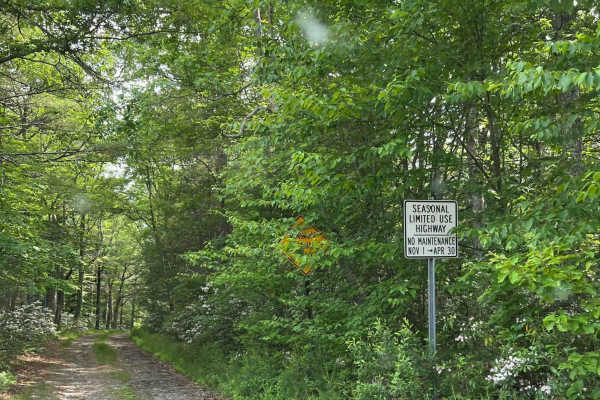
Carpenter Road
Entering off Route 42, the trail will be marked with a town road and maintenance sign at the entrance. During Winter the entrance may be blocked by a snowbank. The trail is single-vehicle wide with limited spots to pull over. Snow accumulation during Winter makes trails extremely difficult. Downed t...
Learn more about Carpenter Road
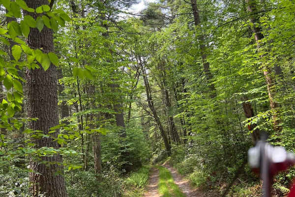
King Road
Entering off Route 42, the trail will be marked with town road signs at the start. During Winter the entrance may be blocked by a snowbank. The trail is single-vehicle-wide with limited spots to pull over. Downed trees will be encountered. Snow accumulation during Winter will be extreme. During Summ...
Learn more about King Road
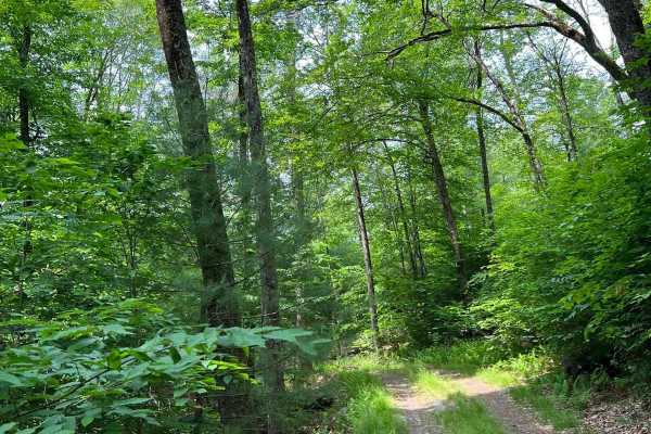
Tannery Road
Entering off Route 42, the trail is marked with town road maintenance signs. During Winter months a snowbank may block entrance. The trail is one vehicle wide for its entire length. Downed trees will be encountered. Snow accumulation in Winter will be significant. Tight brush and limited pullover po...
Learn more about Tannery Road
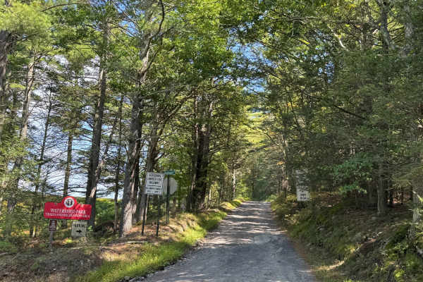
Box Baum Road
This is a non-maintained road. It is loose gravel, but has nothing technical. It is wide enough for 2 cars for the majority of the route. Where it isn't, there is room to move over. This follows the Reservoir Number Three and has several hiking areas.
Learn more about Box Baum Road
Beginner ATV trails near Fairview, New York
Explore ATV-friendly trails near you. These trails are accessible for vehicles up to 50 inches wide, perfect for ATVs and smaller off-road machines.
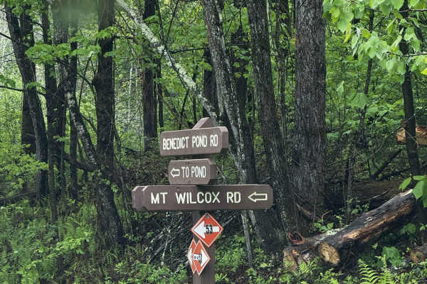
Mount Wilcox Road
Mount Wilcox Road is the main loop that meanders through Beartown State Forest. The loop is 4.3 miles and climbs from 1,600 feet to 2,100 feet. The trail begins and ends off Benedict Pond Road. Halfway through the route from either direction is a short spur that breaks off and provides access to the...
Learn more about Mount Wilcox Road
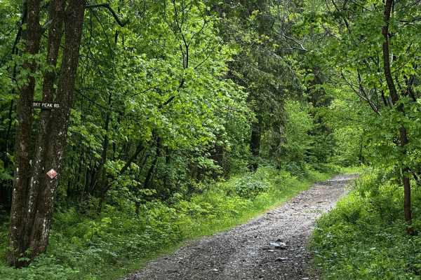
Sky Peak Road
Sky Peak Road is a short connector between Beartown Mountain Road and Wilcox Mountain Road. The trail begins from Beartown and climbs from 1760 to 1900 feet in the short 0.7 miles of the trail over loose rock. The trail is well-graded in most sections, with some showing exposed rock. The trail ends...
Learn more about Sky Peak Road
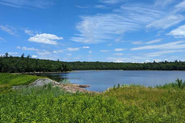
Ashley Lake Road
Ashley Lake Road is an old, unmaintained road through October Mountain State Forest. It rolls through hardwood forests past multiple lakes/reservoirs, including Ashley Lake, Sandwash Reservoir (this has a unique "aerator" which is a large fountain in the middle of the woods), Clapp Pond, and Mud Pon...
Learn more about Ashley Lake Road
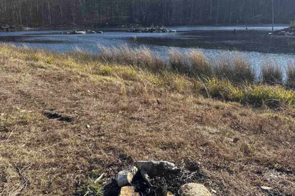
Del Reeves Road
This mellow backroad route through Meshomasic State Forest follows a rough, mostly dirt track with a few gravel sections mixed in. It’s doable in nearly any vehicle, but something with off-road durability makes the ride smoother, especially when the ruts deepen, or rain turns things muddy. You’ll pa...
Learn more about Del Reeves Road
Beginner UTV/side-by-side trails near Fairview, New York
Find UTV and side-by-side trails near you. These trails accommodate vehicles up to 60 inches wide, ideal for UTVs, side-by-sides, and wider off-road rigs.
Mount Wilcox Road
Mount Wilcox Road is the main loop that meanders through Beartown State Forest. The loop is 4.3 miles and climbs from 1,600 feet to 2,100 feet. The trail begins and ends off Benedict Pond Road. Halfway through the route from either direction is a short spur that breaks off and provides access to the...
Learn more about Mount Wilcox Road
Sky Peak Road
Sky Peak Road is a short connector between Beartown Mountain Road and Wilcox Mountain Road. The trail begins from Beartown and climbs from 1760 to 1900 feet in the short 0.7 miles of the trail over loose rock. The trail is well-graded in most sections, with some showing exposed rock. The trail ends...
Learn more about Sky Peak Road
Ashley Lake Road
Ashley Lake Road is an old, unmaintained road through October Mountain State Forest. It rolls through hardwood forests past multiple lakes/reservoirs, including Ashley Lake, Sandwash Reservoir (this has a unique "aerator" which is a large fountain in the middle of the woods), Clapp Pond, and Mud Pon...
Learn more about Ashley Lake Road
Del Reeves Road
This mellow backroad route through Meshomasic State Forest follows a rough, mostly dirt track with a few gravel sections mixed in. It’s doable in nearly any vehicle, but something with off-road durability makes the ride smoother, especially when the ruts deepen, or rain turns things muddy. You’ll pa...
Learn more about Del Reeves Road
The onX Offroad Difference
onX Offroad combines trail photos, descriptions, difficulty ratings, width restrictions, seasonality, and more in a user-friendly interface. Available on all devices, with offline access and full compatibility with CarPlay and Android Auto. Discover what you're missing today!
Open Trail Map