
Beginner Off-Road Trails
Near Everton, Arkansas
Explore All Beginner Trails Near Everton, Arkansas
Beginner Off-Road Trails Near Everton, Arkansas
Discover the best beginner-friendly off-road trails near you. These easier, lower-rated trails are a great place to start — browse trail maps, check difficulty ratings, and find your next adventure.
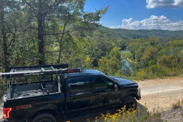
Old River Road
Old River Road is an enjoyable scenic drive through the Buffalo National River Wildlife Management Area. It features high mountain views, many creek crossings in the wet season, historic homesteads, campgrounds, and Buffalo River access points. The road varies in width and roughness with loose grave...
Learn more about Old River Road
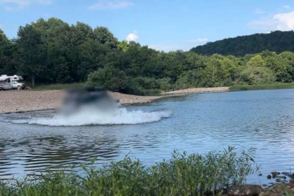
Flat Woolum
Starting off near Flat Arkansas, you make your way North towards Mt. Hersey and then follow the main gravel road down to Woolum. Please keep in mind of the water crossings and make sure to check water levels at all water crossings. Rain can change these crossings and water can be deep at certain tim...
Learn more about Flat Woolum
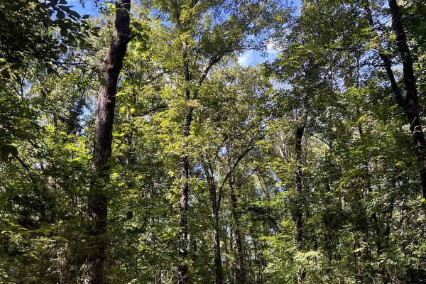
Tylers Bend View
This is a beautiful scenic drive from Snowball, Arkansas to Tylers Bend Campground at the Buffalo National River. The trail follows along the roads Searcy County 13, Gateway Road, and Peter Cave Road. The beautiful views of the Buffalo River and Ozarks surround you once you turn onto Peter Cave Road...
Learn more about Tylers Bend View
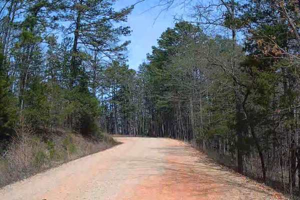
Erbie Campground Road
This is an easy gravel road that has many points of interest. There are scenic views of the mountains and a few water crossings to get to connecting roads. If coming from Highway 7, you will reach the Koen Interpretive Trail first. Then, you will come across an area on the right to pull over. Liles ...
Learn more about Erbie Campground Road
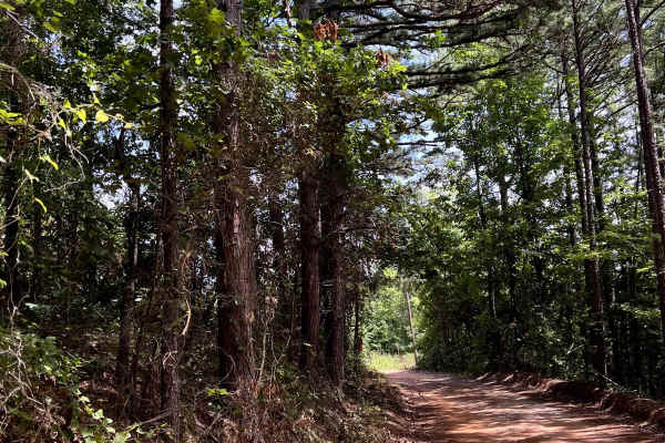
Valley of Peace
This is a beautiful Scenic backcountry driving through the Ozark National Forest. This is a great connection road for the area and it has stunning views. The trail starts off of Highway 123 by "Dick Knob" and makes its way through what is named the Valley of Peace. A sign on the road will show that ...
Learn more about Valley of Peace
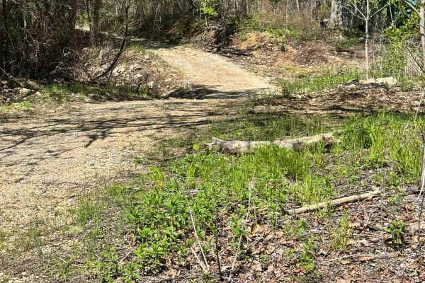
Mincy Food Plot Row
This trail leads to the food plots and walking trails on the west side of Bee Creek in the Drury-Mincy Conservation Area. About three-quarters of the trail is an easy off-road drive, though there may be water crossings after recent rain. If you enter from the north, be aware that during high water, ...
Learn more about Mincy Food Plot Row
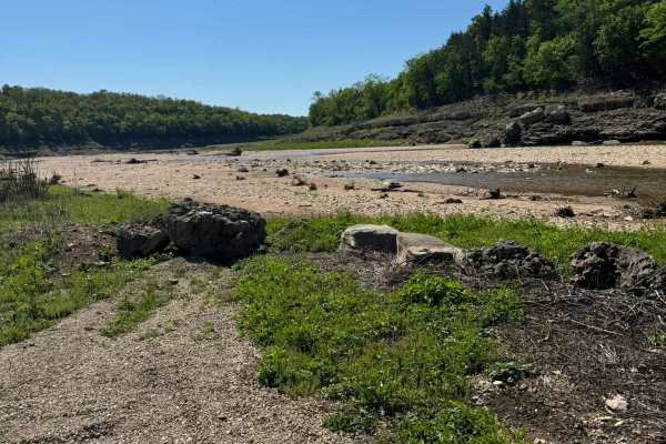
Mincy Bee Creek Trail
This is a maintained gravel road with several low-water crossings that may appear shallower than they actually are, so use caution. The road continues uphill and dead-ends in the woods; it is not advisable to drive all the way to the dead end. When the lake level is low, there is plenty of room to t...
Learn more about Mincy Bee Creek Trail
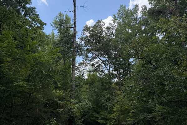
Perry Creek
Family Trip trail is another amazing trail in this area. You can only access this trail from Cartney's Stream Trail. This trail is also an out and back trail that ends at Private Property with signs posted. There are multiple water crossings along this trail that have great pull off spots for swimmi...
Learn more about Perry Creek
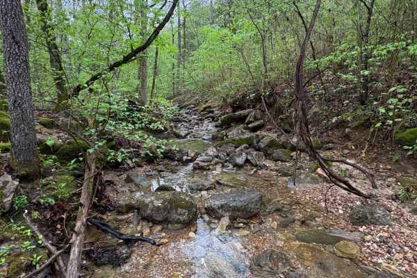
Spring Creek Falls
This trail is located on the eastern side of the Ozark National Forrest. This trail shares the side of the Ozark National Forrest and one side with the Leatherwood Wilderness Management area. Use caution, as well as always double-check MVUM to be sure you are on the correct trail, as Leatherwood Wil...
Learn more about Spring Creek Falls
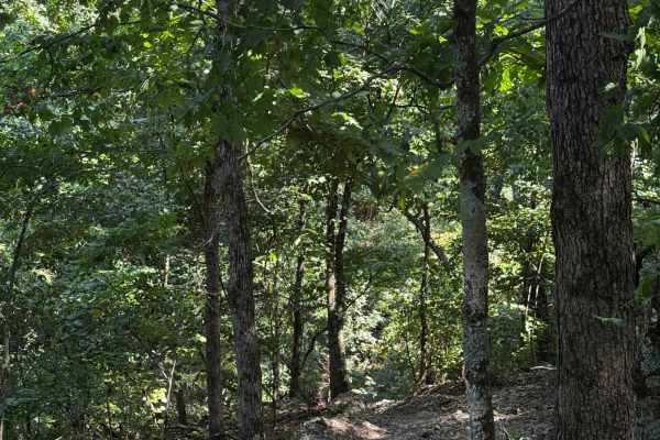
Hell Hole Pass
One of two relatively short cut-throughs around the Hell Hole area. These trails provide an easy way to navigate around the area while staying connected to the main trails. Be mindful of other riders, follow all posted signage, and make sure you remain on the correct trail while traveling through th...
Learn more about Hell Hole Pass
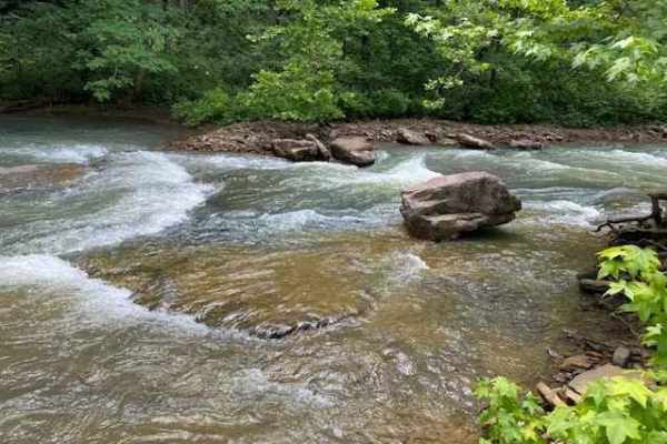
Falling Water Road
Falling Water Road is a relaxing dirt road that runs along the eastern border of the Richland Creek Wilderness Area, and also follows Falling Water Creek. The most photographed waterfall in Arkansas, Falling Water Falls, is located at the southernmost point of the route. You can expect to find over ...
Learn more about Falling Water Road
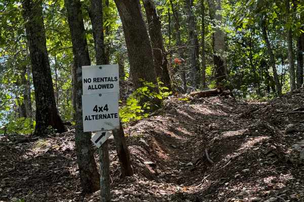
Alternate 4x4
One of the optional 4x4 loops in the park, this trail offers varying levels of difficulty. These loops are directional, so be sure to follow all posted signage and travel in the proper direction. Please be respectful of other riders who may be on the course and remain aware of your surroundings.
Learn more about Alternate 4x4
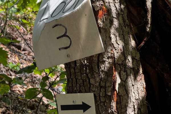
Loop 3
One of the many loop trails throughout the park, these trails are fun and vary in difficulty, although none get too extreme. They’re a great option for novice riders looking to build confidence while still having fun. With plenty of trails to explore, you can easily stay busy for most of the day.
Learn more about Loop 3
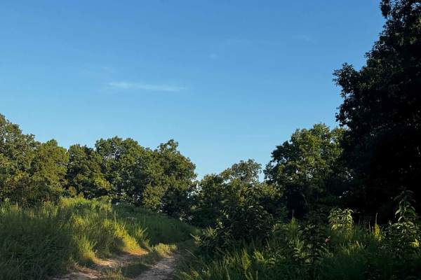
Short Track to Main Cut Thru
The short track is a small area of the park with a few trails that loop back into the entrance trail. It also provides a cut-through to access the main trail. Please follow all signage and make sure you’re using the appropriate cuts and trails. **No rental vehicles are permitted in this area.**
Learn more about Short Track to Main Cut Thru
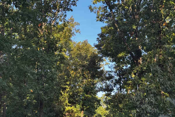
Side Track Cut 2
This quick cut-through is located within the short track area and can be used as needed to access other trails. Please be mindful of other riders in the area, follow posted signage, and use caution while traveling through. Stay aware of your surroundings, maintain a safe speed, and enjoy the trails ...
Learn more about Side Track Cut 2
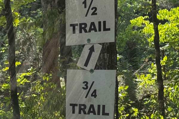
1/2 Trail
In this area, you’ll find the 1/2 and 3/4 trails, both offering optional routes instead of completing the full main trail. Each provides its own experience and challenges, so pick your poison and enjoy the ride! Be sure to follow all posted signage and remain mindful of other riders along the way.
Learn more about 1/2 Trail
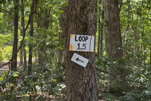
Loop 1.5
One of the many loop trails throughout the park, these trails are fun and vary in difficulty, although none get too extreme. They’re a great option for novice riders looking to build confidence while still having fun. With plenty of trails to explore, you can easily stay busy for most of the day.
Learn more about Loop 1.5
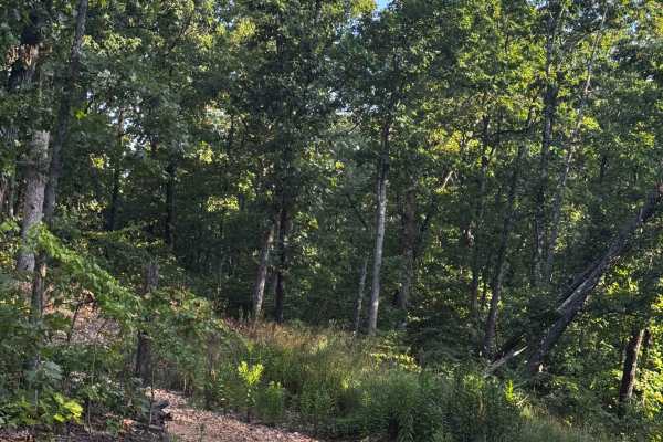
Main Track Cut Thru 2
One of the many cut-throughs throughout the park, this trail is intended to help riders access other areas more easily. Please use the cut-throughs as intended, follow all posted signage, and always remain aware of your surroundings. Be especially mindful of other riders when entering or merging ont...
Learn more about Main Track Cut Thru 2
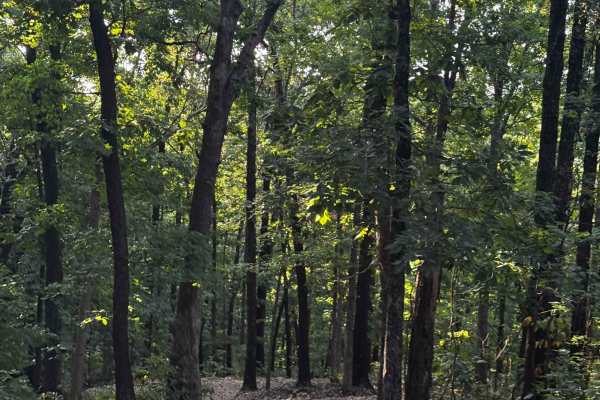
Loop 2
One of the many loop trails throughout the park, these trails are fun and vary in difficulty, although none get too extreme. They’re a great option for novice riders looking to build confidence while still having fun. With plenty of trails to explore, you can easily stay busy for most of the day.
Learn more about Loop 2
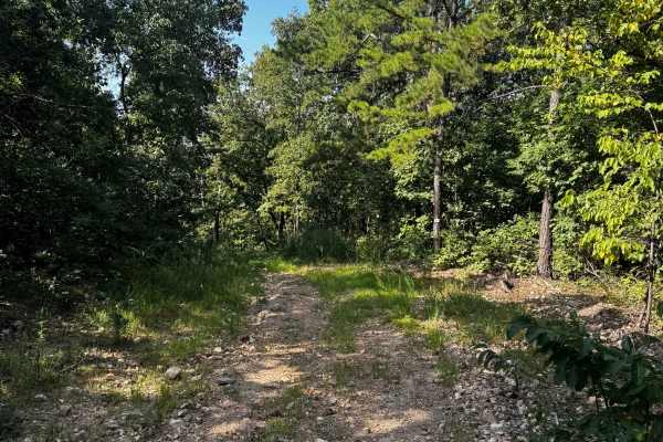
Short Track Loop 4
One of the side tracks within the short track area, this trail features several large hills and can be enjoyed at your own pace. Take your time or pick up the speed, depending on your comfort level. Be mindful of other riders and always watch for anyone on or around the hills.
Learn more about Short Track Loop 4
Beginner ATV trails near Everton, Arkansas
Explore ATV-friendly trails near you. These trails are accessible for vehicles up to 50 inches wide, perfect for ATVs and smaller off-road machines.
Flat Woolum
Starting off near Flat Arkansas, you make your way North towards Mt. Hersey and then follow the main gravel road down to Woolum. Please keep in mind of the water crossings and make sure to check water levels at all water crossings. Rain can change these crossings and water can be deep at certain tim...
Learn more about Flat Woolum
Mincy Food Plot Row
This trail leads to the food plots and walking trails on the west side of Bee Creek in the Drury-Mincy Conservation Area. About three-quarters of the trail is an easy off-road drive, though there may be water crossings after recent rain. If you enter from the north, be aware that during high water, ...
Learn more about Mincy Food Plot Row
Mincy Bee Creek Trail
This is a maintained gravel road with several low-water crossings that may appear shallower than they actually are, so use caution. The road continues uphill and dead-ends in the woods; it is not advisable to drive all the way to the dead end. When the lake level is low, there is plenty of room to t...
Learn more about Mincy Bee Creek Trail
Spring Creek Falls
This trail is located on the eastern side of the Ozark National Forrest. This trail shares the side of the Ozark National Forrest and one side with the Leatherwood Wilderness Management area. Use caution, as well as always double-check MVUM to be sure you are on the correct trail, as Leatherwood Wil...
Learn more about Spring Creek Falls
Beginner UTV/side-by-side trails near Everton, Arkansas
Find UTV and side-by-side trails near you. These trails accommodate vehicles up to 60 inches wide, ideal for UTVs, side-by-sides, and wider off-road rigs.
Flat Woolum
Starting off near Flat Arkansas, you make your way North towards Mt. Hersey and then follow the main gravel road down to Woolum. Please keep in mind of the water crossings and make sure to check water levels at all water crossings. Rain can change these crossings and water can be deep at certain tim...
Learn more about Flat Woolum
Mincy Food Plot Row
This trail leads to the food plots and walking trails on the west side of Bee Creek in the Drury-Mincy Conservation Area. About three-quarters of the trail is an easy off-road drive, though there may be water crossings after recent rain. If you enter from the north, be aware that during high water, ...
Learn more about Mincy Food Plot Row
Mincy Bee Creek Trail
This is a maintained gravel road with several low-water crossings that may appear shallower than they actually are, so use caution. The road continues uphill and dead-ends in the woods; it is not advisable to drive all the way to the dead end. When the lake level is low, there is plenty of room to t...
Learn more about Mincy Bee Creek Trail
Spring Creek Falls
This trail is located on the eastern side of the Ozark National Forrest. This trail shares the side of the Ozark National Forrest and one side with the Leatherwood Wilderness Management area. Use caution, as well as always double-check MVUM to be sure you are on the correct trail, as Leatherwood Wil...
Learn more about Spring Creek Falls
The onX Offroad Difference
onX Offroad combines trail photos, descriptions, difficulty ratings, width restrictions, seasonality, and more in a user-friendly interface. Available on all devices, with offline access and full compatibility with CarPlay and Android Auto. Discover what you're missing today!
Open Trail Map