
Beginner Off-Road Trails
Near Ephraim, Utah
Explore All Beginner Trails Near Ephraim, Utah
Beginner Off-Road Trails Near Ephraim, Utah
Discover the best beginner-friendly off-road trails near you. These easier, lower-rated trails are a great place to start — browse trail maps, check difficulty ratings, and find your next adventure.
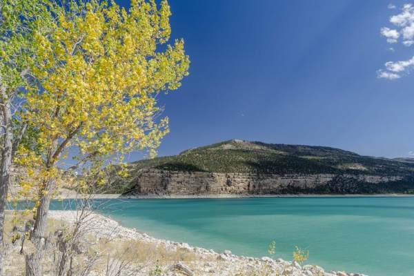
Arapeen Ephraim Canyon to Joes Valley
This scenic 50.6-mile loop is perfect for riders of fifty-inch SxSs and off-road motorcycles looking for a breathtaking and expansive mountain journey through the Manti-La Sal National Forest. Starting near Ephraim, the route climbs up Ephraim Canyon on a well-maintained dirt and gravel road, ascend...
Learn more about Arapeen Ephraim Canyon to Joes Valley
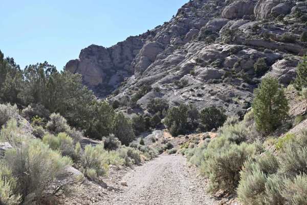
Mellor Canyon Road
Private land holdings and BLM trail closures make the connector from Fayetteville to Manti partially inaccessible. This connector is important for the Arapeen Trail system because it allows access to Manti trails from the Fayette/Yuba Lake area. There is a nice mix of canyons and ridges that make th...
Learn more about Mellor Canyon Road
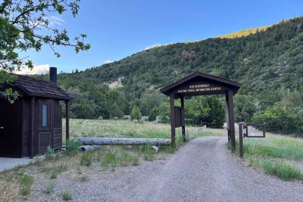
Heaven and Earth
In the beginning, God created Heaven and Earth. As this is the first starting point into the Arapeen trail system that you'll encounter in Manti Canyon, and because you'll soon be scanning heavenly vistas, I thought this would be an appropriate name. This trail will be your portal into hundreds of m...
Learn more about Heaven and Earth
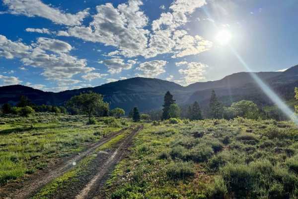
Burnt Hill
From the bottom, this trail begins in dense pine and quaking groves but quickly bursts out into open, green pastoral fields that present majestic white cliffs to the south, sweeping vistas to the valley below on the west, and inspiring views of the mountains to the east that are beckoning to you to ...
Learn more about Burnt Hill
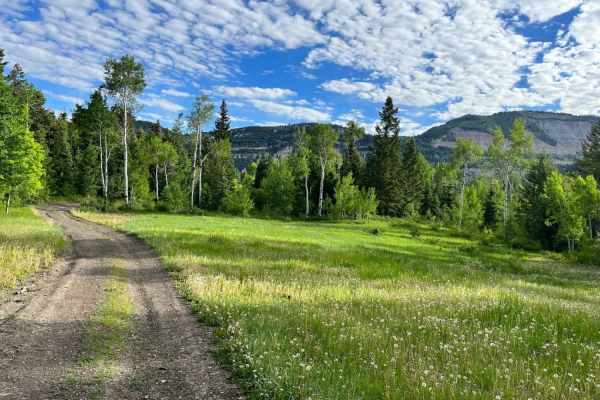
Patton's Boot
This is a short, mostly flat route. It is 2 miles and has an elevation change of 700 feet. It skirts the east side of Burnt Hill and flirts with views of Milk Creek. At the midpoint of the route, you can choose to journey on to a variety of other trails that snake around other sides of Burnt Hill.
Learn more about Patton's Boot
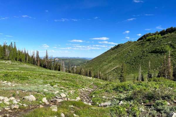
Middle Fork
The closer this trail gets to the summit, the more serene, pastoral, and smooth it becomes. The closer it gets to Manti Canyon Road, the more gnarly, winding, rutted, and rocky it becomes. This can be falsely alluring if you are dropping in from Skyline Road. I passed a new suburban that was stuck i...
Learn more about Middle Fork
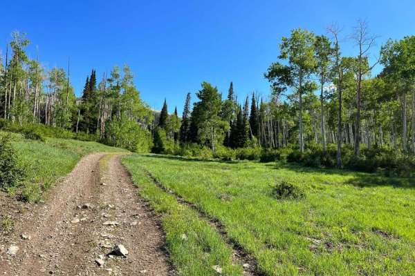
Lowry Fork Fox Run
Technically this trail isn't a "hidden" gem because it's right there off Skyline Road. It might be overlooked because there are so many other nearby routes to choose from. It still is a gem in plain sight. From the summit, it plays peek-a-boo with a tranquil stream that trickles down the center of t...
Learn more about Lowry Fork Fox Run
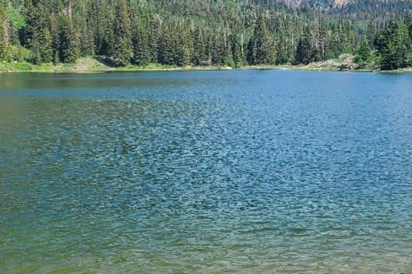
South Reeder/Littles Canyon
This trail boasts high mountain vistas with meadows, thick pines, and aspen. The trail is mostly restricted to 50-inch vehicles, with wider allowances on either end. Grassy Lake has a Forest Service pit toilet if needed and also offers some fun fishing, float tubing, and kayaking. The trail can be a...
Learn more about South Reeder/Littles Canyon
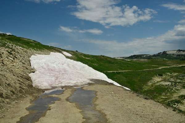
Skyline Drive/FR50150
Skyline Drive is the central attraction of the Arapeen Trail System and as such runs from US-6 in the north to its termination at the Fishlake National Forest where it continues but becomes the Great Western Trail. This is the central section between Manti and Ephraim access points. While generally ...
Learn more about Skyline Drive/FR50150
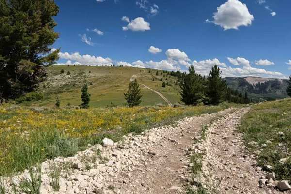
Stock Driveway
With a variety of terrain, this is a fun start to the Arapeen system from Manti Canyon. Rocky hill climbs in the west lead to fast straights in the east with more than a few mudholes in between during wetter weather. It connects to Patton Trail in the west and Skyline Drive at just shy of 10,000 fee...
Learn more about Stock Driveway
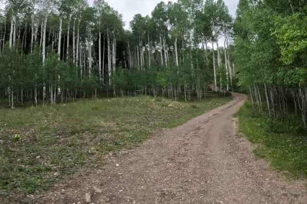
Willow Bunch
This is the western part of a larger loop connecting to McEwan Flat and gives access to the Cove Lake trail. It's short and simple with a couple of easy hill climbs and a few mudholes. This is a great transition between the north and southwestern portions of the trail system.
Learn more about Willow Bunch
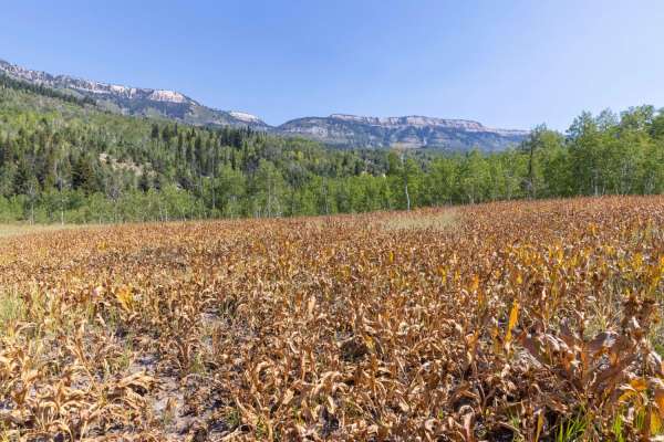
Pinchot to Cowboy Camp Trail
The area is made up of several smaller trails which traverse the Manti-La Sal National Forest. Pinchot to Cowboy Camp trail offers a short ride through the Aspen's and Pines flush with wild flowers, brush and grasses.Wildlife can be viewed anywhere along this trail, especially during early mornings ...
Learn more about Pinchot to Cowboy Camp Trail
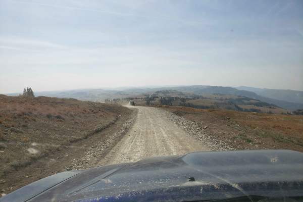
Skyline Drive South
Towering above the valley floor, this section of the Skyline Drive trail is around 10,000' in elevation and offers some incredible views for miles around. Gates are closed for the winter / early spring months. Still expect to find snow and muddy conditions into the early summer months. Being a high ...
Learn more about Skyline Drive South
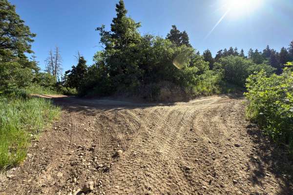
Death Hollow - 50148
The trail is double track. Is very narrow with a mixture of open spaces and tight tree/scrub oak cover. Minimal obstacles, although there can be 12-18 inch ruts that can get muddy if wet weather has been recent. Higher clearance, four-wheelers, and motorcycles would be most ideal. This trail is an o...
Learn more about Death Hollow - 50148
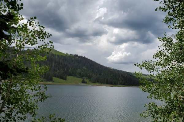
Millers Flat Road
Millers Flat Road is part of the Arapeen OHV trail system in central Utah. The trail is well maintained with just enough technical driving to keep it exciting. The road drops down from the ridge and winds through mountain hills and the scenery is breathtaking as you drive past Miller, Cleveland, and...
Learn more about Millers Flat Road

Mayfield-Gunnison Road
This is the main access road to Mayfield Canyon. The well maintained wide gravel road allows two way traffic and plenty of primitive camping spots along the way. There are multiple bathrooms at many of the camping locations which are maintained by the forest service.Pine, Aspen, and Cedar trees, alo...
Learn more about Mayfield-Gunnison Road
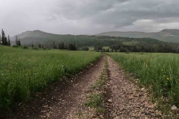
Shoemaker Flat
This is a short but fun side trail off Ferron Mayfield Road. Ferron Reservoir to the west and Willow Lake to the east provide ample camping and fishing in the area for a multi-day ride. There are multiple water crossings and the possibility of mudholes during the wet season.
Learn more about Shoemaker Flat
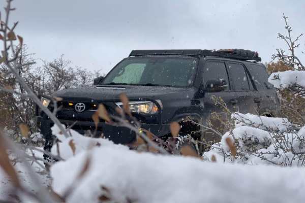
Chicken Creek
This trail starts out in a little town called Levan. The trail follows a gravel road along Chicken Creek. Along the trail, there are great views with cool mountain ledges, and big Aspen and Pine trees. This trail will end in a dead end with some private property signs and gates.
Learn more about Chicken Creek
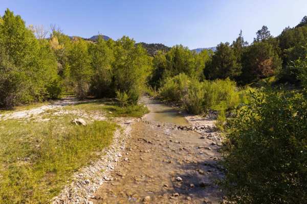
Beaver Creek Road
The area is made up of several smaller trails and roads which traverse the scenic beauty of the Manti-LaSal National Forest. Beaver Creek road intertwines with several trails as it traverses East-West between the Mayfield-Gunnison road and Skyline Drive. Pine, Aspen, and Cedar trees cover the area a...
Learn more about Beaver Creek Road
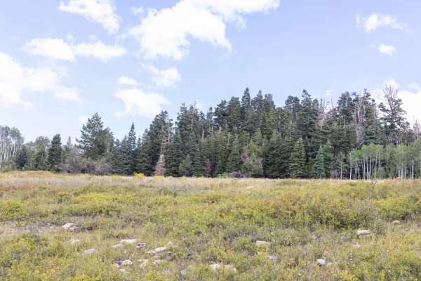
Dandelion Flat
What started out as an attempt to access the Olsen Canyon trail turned into a dead-end trail. The trail is unmaintained and can be difficult to traverse in inclement weather. Pine, aspen, and cedar trees, along with many different types of grass, can make for some incredible views. Keep your eye out...
Learn more about Dandelion Flat
Beginner ATV trails near Ephraim, Utah
Explore ATV-friendly trails near you. These trails are accessible for vehicles up to 50 inches wide, perfect for ATVs and smaller off-road machines.
Arapeen Ephraim Canyon to Joes Valley
This scenic 50.6-mile loop is perfect for riders of fifty-inch SxSs and off-road motorcycles looking for a breathtaking and expansive mountain journey through the Manti-La Sal National Forest. Starting near Ephraim, the route climbs up Ephraim Canyon on a well-maintained dirt and gravel road, ascend...
Learn more about Arapeen Ephraim Canyon to Joes Valley
Mellor Canyon Road
Private land holdings and BLM trail closures make the connector from Fayetteville to Manti partially inaccessible. This connector is important for the Arapeen Trail system because it allows access to Manti trails from the Fayette/Yuba Lake area. There is a nice mix of canyons and ridges that make th...
Learn more about Mellor Canyon Road
Heaven and Earth
In the beginning, God created Heaven and Earth. As this is the first starting point into the Arapeen trail system that you'll encounter in Manti Canyon, and because you'll soon be scanning heavenly vistas, I thought this would be an appropriate name. This trail will be your portal into hundreds of m...
Learn more about Heaven and Earth
Burnt Hill
From the bottom, this trail begins in dense pine and quaking groves but quickly bursts out into open, green pastoral fields that present majestic white cliffs to the south, sweeping vistas to the valley below on the west, and inspiring views of the mountains to the east that are beckoning to you to ...
Learn more about Burnt Hill
Beginner UTV/side-by-side trails near Ephraim, Utah
Find UTV and side-by-side trails near you. These trails accommodate vehicles up to 60 inches wide, ideal for UTVs, side-by-sides, and wider off-road rigs.
Mellor Canyon Road
Private land holdings and BLM trail closures make the connector from Fayetteville to Manti partially inaccessible. This connector is important for the Arapeen Trail system because it allows access to Manti trails from the Fayette/Yuba Lake area. There is a nice mix of canyons and ridges that make th...
Learn more about Mellor Canyon Road
Heaven and Earth
In the beginning, God created Heaven and Earth. As this is the first starting point into the Arapeen trail system that you'll encounter in Manti Canyon, and because you'll soon be scanning heavenly vistas, I thought this would be an appropriate name. This trail will be your portal into hundreds of m...
Learn more about Heaven and Earth
Burnt Hill
From the bottom, this trail begins in dense pine and quaking groves but quickly bursts out into open, green pastoral fields that present majestic white cliffs to the south, sweeping vistas to the valley below on the west, and inspiring views of the mountains to the east that are beckoning to you to ...
Learn more about Burnt Hill
Patton's Boot
This is a short, mostly flat route. It is 2 miles and has an elevation change of 700 feet. It skirts the east side of Burnt Hill and flirts with views of Milk Creek. At the midpoint of the route, you can choose to journey on to a variety of other trails that snake around other sides of Burnt Hill.
Learn more about Patton's Boot
The onX Offroad Difference
onX Offroad combines trail photos, descriptions, difficulty ratings, width restrictions, seasonality, and more in a user-friendly interface. Available on all devices, with offline access and full compatibility with CarPlay and Android Auto. Discover what you're missing today!
Open Trail Map