
Beginner Off-Road Trails
Near El Paso de Robles (Paso Robles), California
Explore All Beginner Trails Near El Paso de Robles (Paso Robles), California
Beginner Off-Road Trails Near El Paso de Robles (Paso Robles), California
Discover the best beginner-friendly off-road trails near you. These easier, lower-rated trails are a great place to start — browse trail maps, check difficulty ratings, and find your next adventure.
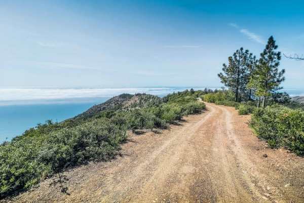
San Martin
San Martin is an easy, 1.8-mile ridgeline trail in the Los Padres National Forest that is perfect for scenic campers and drivers of stock four-wheel-drive vehicles seeking expansive views of the Pacific Ocean from high above the fog line. Branching off from the South Coast Ridge Road as Forest Route...
Learn more about San Martin
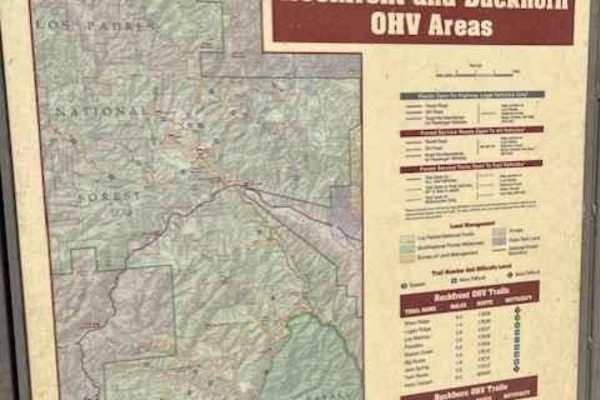
Ride around Rockfront
Fun loop around Rockfront OHV. This loop shows you everything Rockfront has to offer the Central Coast of California;steep climbs, jumpy fast double track, and lots of dust! This loop also brings you to Baja Campground. Enjoy the double track with anything from a moto to a full-sized 4x4.
Learn more about Ride around Rockfront
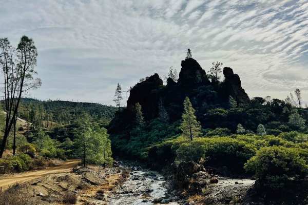
R1 Clear Creek Road
R1 Clear Creek Road lives up to its namesake by following the crisp, flowing waters of Clear Creek as it twists and winds through the canyon toward the hills. This trail provides an enjoyable adventure, rated as a 2, making it accessible for many vehicles. Be aware that there is no cell service alon...
Learn more about R1 Clear Creek Road
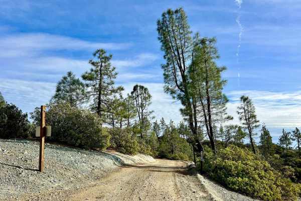
Aurora Cutoff R14
Aurora Cutoff R14 is a narrow two-track trail that traces the top of a ridge, leading you toward the historic Aurora Mine. This scenic route offers plenty of opportunities to explore single-track trails branching off to either side, inviting you to venture deeper into the area's rugged beauty. The m...
Learn more about Aurora Cutoff R14
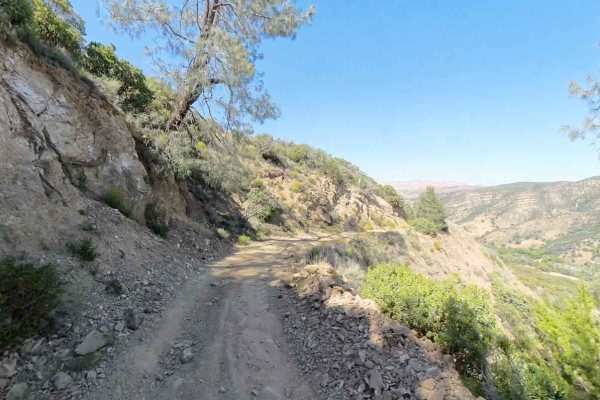
New Idria Dam to Ghost Town
Beginning at the BLM gate southwest of New Idria Dam, this trail winds around the westerly side of the lake and canyon above the former mining town of New Idria. Descending 1,200 feet in elevation, the route will take you along an unpaved dirt path through several areas of switchbacks and narrow she...
Learn more about New Idria Dam to Ghost Town
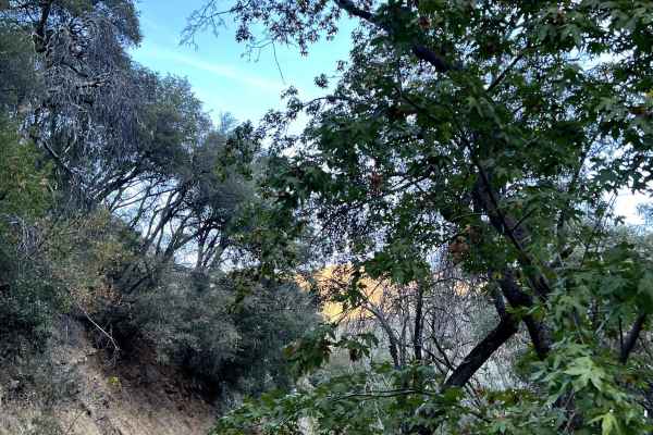
Bates Canyon
Surrounded by chaparral in the Los Padres National Forest. This trail can be closed due to weather. Please check the LPNF website. The best time to go is in the spring to see the flowers and green hills. There is a first come first serve campground at the base of the mountains.
Learn more about Bates Canyon
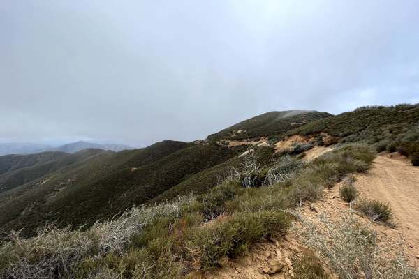
McPherson Peak - FS 32S13
Located in the Los Padres National Forest. This road follows a ridge line to McPherson Peak that has a telecommunication tower ending up over 5,700 ft. From there, you can continue on foot to backpacking trails. This is mostly untouched land, surrounded by chaparral shrubs with oak trees. There are...
Learn more about McPherson Peak - FS 32S13
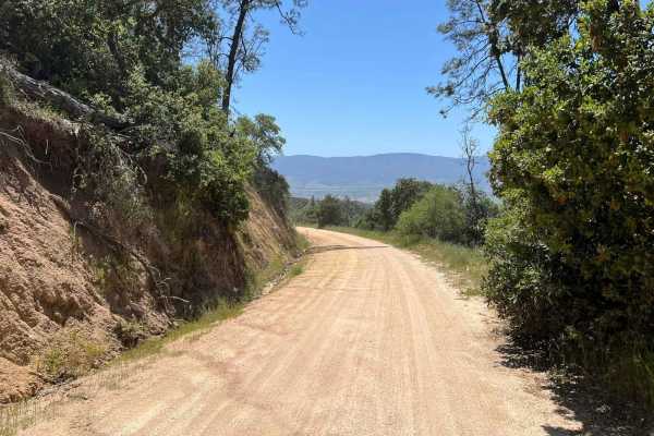
La Gloria Road
La Gloria Road is a graded, well-maintained dirt road that connects the Salinas Valley and US-101 with SR-25 in San Benito County. It is the closest connecting road between Eastern and Western Pinnacles (there is no road through Pinnacles). Access starts at the intersection with Camphora-Gloria Road...
Learn more about La Gloria Road
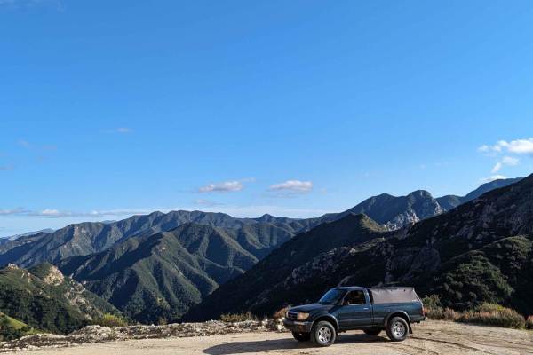
Tassajara
This is a beautiful, graded, well-maintained dirt road surrounded by the Ventana Wilderness. The road initially climbs an easy grade to Chews Ridge, then narrows and starts to descend a slightly more rocky and steep grade with incredible views of Black Butte, Black Cone, and Junipero Sera Peak, ulti...
Learn more about Tassajara
Beginner ATV trails near El Paso de Robles (Paso Robles), California
Explore ATV-friendly trails near you. These trails are accessible for vehicles up to 50 inches wide, perfect for ATVs and smaller off-road machines.
San Martin
San Martin is an easy, 1.8-mile ridgeline trail in the Los Padres National Forest that is perfect for scenic campers and drivers of stock four-wheel-drive vehicles seeking expansive views of the Pacific Ocean from high above the fog line. Branching off from the South Coast Ridge Road as Forest Route...
Learn more about San Martin
Ride around Rockfront
Fun loop around Rockfront OHV. This loop shows you everything Rockfront has to offer the Central Coast of California;steep climbs, jumpy fast double track, and lots of dust! This loop also brings you to Baja Campground. Enjoy the double track with anything from a moto to a full-sized 4x4.
Learn more about Ride around Rockfront
R1 Clear Creek Road
R1 Clear Creek Road lives up to its namesake by following the crisp, flowing waters of Clear Creek as it twists and winds through the canyon toward the hills. This trail provides an enjoyable adventure, rated as a 2, making it accessible for many vehicles. Be aware that there is no cell service alon...
Learn more about R1 Clear Creek Road
Aurora Cutoff R14
Aurora Cutoff R14 is a narrow two-track trail that traces the top of a ridge, leading you toward the historic Aurora Mine. This scenic route offers plenty of opportunities to explore single-track trails branching off to either side, inviting you to venture deeper into the area's rugged beauty. The m...
Learn more about Aurora Cutoff R14
Beginner UTV/side-by-side trails near El Paso de Robles (Paso Robles), California
Find UTV and side-by-side trails near you. These trails accommodate vehicles up to 60 inches wide, ideal for UTVs, side-by-sides, and wider off-road rigs.
San Martin
San Martin is an easy, 1.8-mile ridgeline trail in the Los Padres National Forest that is perfect for scenic campers and drivers of stock four-wheel-drive vehicles seeking expansive views of the Pacific Ocean from high above the fog line. Branching off from the South Coast Ridge Road as Forest Route...
Learn more about San Martin
Ride around Rockfront
Fun loop around Rockfront OHV. This loop shows you everything Rockfront has to offer the Central Coast of California;steep climbs, jumpy fast double track, and lots of dust! This loop also brings you to Baja Campground. Enjoy the double track with anything from a moto to a full-sized 4x4.
Learn more about Ride around Rockfront
R1 Clear Creek Road
R1 Clear Creek Road lives up to its namesake by following the crisp, flowing waters of Clear Creek as it twists and winds through the canyon toward the hills. This trail provides an enjoyable adventure, rated as a 2, making it accessible for many vehicles. Be aware that there is no cell service alon...
Learn more about R1 Clear Creek Road
Aurora Cutoff R14
Aurora Cutoff R14 is a narrow two-track trail that traces the top of a ridge, leading you toward the historic Aurora Mine. This scenic route offers plenty of opportunities to explore single-track trails branching off to either side, inviting you to venture deeper into the area's rugged beauty. The m...
Learn more about Aurora Cutoff R14
The onX Offroad Difference
onX Offroad combines trail photos, descriptions, difficulty ratings, width restrictions, seasonality, and more in a user-friendly interface. Available on all devices, with offline access and full compatibility with CarPlay and Android Auto. Discover what you're missing today!
Open Trail Map