San Martin

Total Miles1.8
Technical Rating
3Easy
Best TimeSpring, Summer, Fall, Winter
Trail TypeFull-Width Road
Accessible By
Open Trail Map

Trail Overview

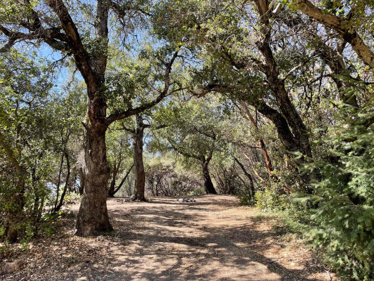
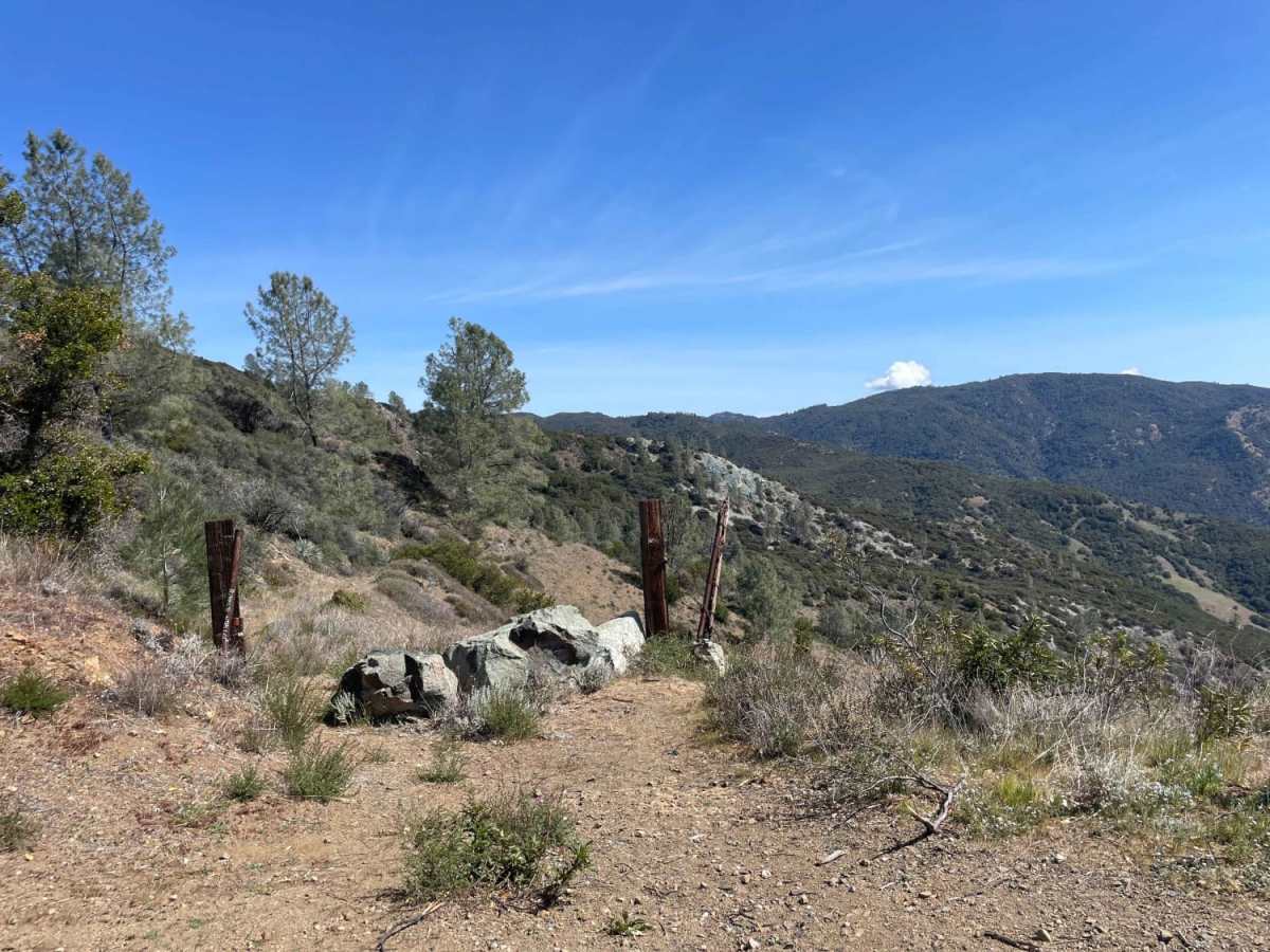
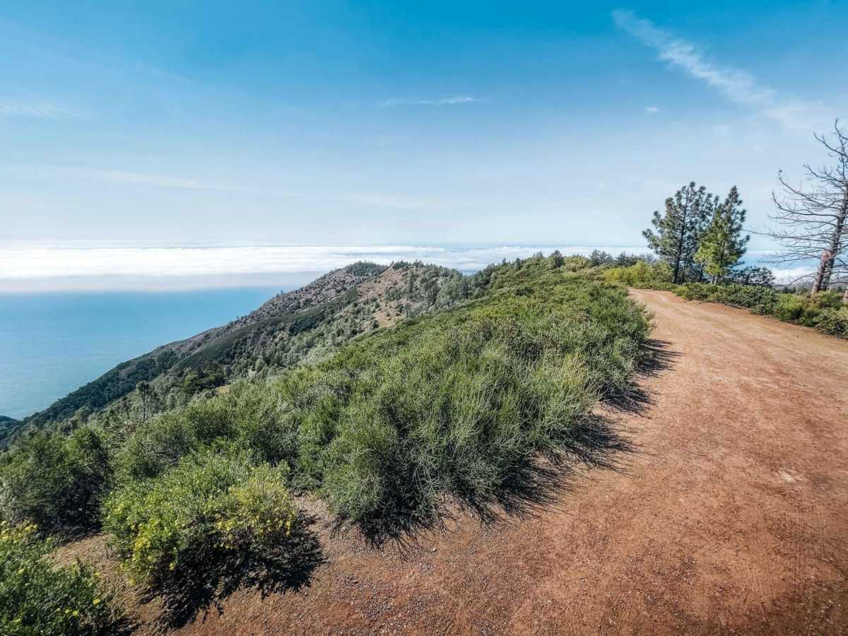
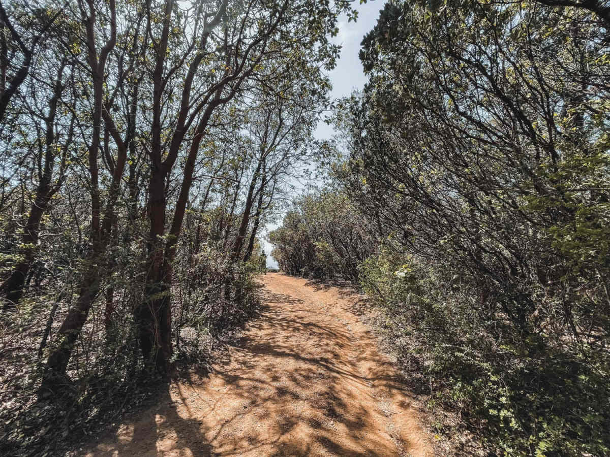
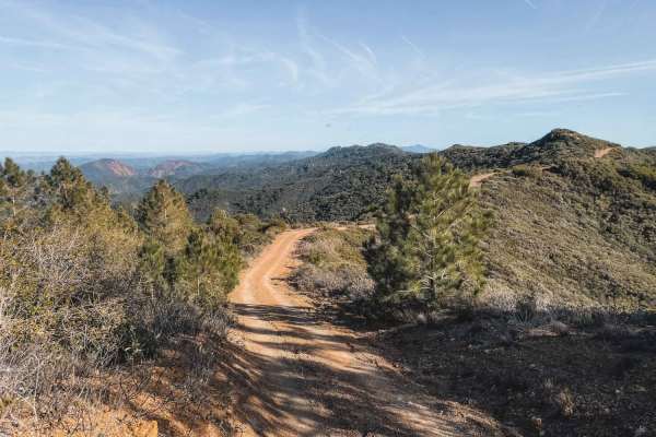
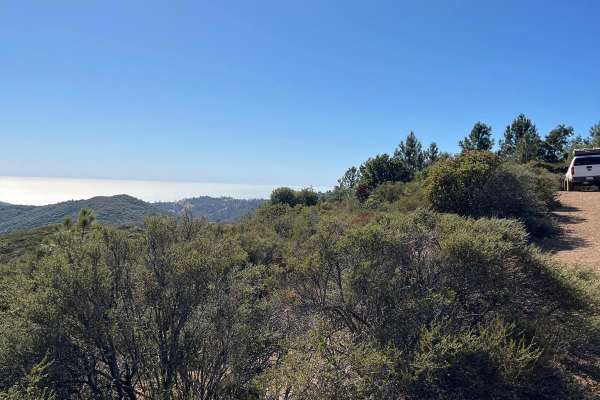
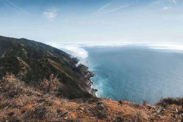
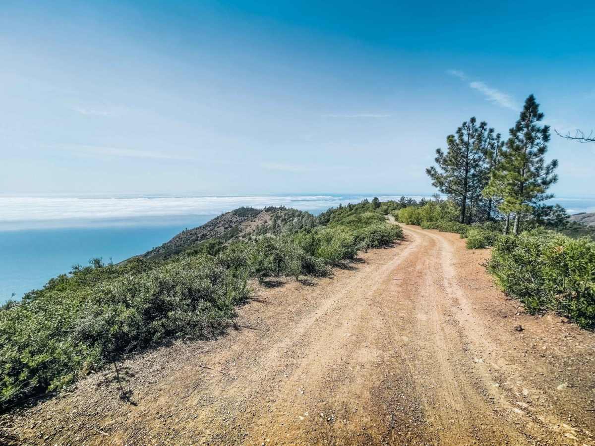
San Martin is an easy, 1.8-mile ridgeline trail in the Los Padres National Forest that is perfect for scenic campers and drivers of stock four-wheel-drive vehicles seeking expansive views of the Pacific Ocean from high above the fog line. Branching off from the South Coast Ridge Road as Forest Route 23S01B, this route guides visitors along the scenic San Martin Ridgeline towards the prominent San Martin Top, which stands at an elevation of 3,077 feet. The path features a predominantly dirt surface with a technical rating of 3, making it accessible to most high-clearance vehicles, SxSs, and dual-sport motorcycles under dry conditions. Throughout the drive, travelers will climb and descend gentle grades with elevation along the route ranging between 2,664 and 3,056 feet, enjoying magnificent coastal vistas and dense forest scenery along the way. Along the route, numerous dispersed campsites are scattered under the canopy and near clearing edges, offering excellent opportunities for overnight stays in a serene wilderness setting. While the trail is generally straightforward, the dirt surface can become extremely slick and impassable during and immediately after wet weather, requiring cautious planning during the rainy season. There are multiple wider spots along the route that provide ample space for vehicles to turn around safely. The trail eventually dead-ends at a junction with a much more challenging, high-clearance four-wheel-drive track that descends toward the cliffside, meaning less-equipped vehicles should prepare to turn around here and retrace their steps back to the main ridge road.

Photos of San Martin

Difficulty

An easy dirt road that can become impassable in rainy weather.

Technical Rating

3

Status Reports

Add Status Report
Andy Crane
Aug 07, 2026
Open
Dusty
Trail was open. Only one other suv camping. On my way up I talked to a couple of guys who tried to go north on S. Coast Rd. and we’re unable to make it to Nacimiento Ferguson. They said there were a lot of downed trees as if the forest service was doing some work. I can’t verify this personally as I didn’t take that route myself. No problems with Los Burros Road and San Martin top though as it was all open.
Kyler Prewitt
Jul 29, 2026
Open
Normal
We only passed one other vehicle on the trail. There were others that filed in after we did to grab some of the other dispersed camping sites.
Cade Bullock
Jul 07, 2026
2024 Toyota Tacoma
Open
NormalDusty
Super smooth, took it slow in 4L coming up Los Burros. No one else around on a Tuesday night.
Lucas F
Mar 27, 2026
2023 Toyota Tacoma
Open
DustyRough/Deteriorated
Lots of people, every spot was full on a Friday night. Had to backtrack and go to south coast road to find a spot to camp. Very narrow, expect pinstripes. Walk the trail at the end to the cliff if you want to attempt it.
Yesenia Thomas
Aug 30, 2025
2023 Mercedes Sprinter
Open
NormalDusty
Decent condition. Found a nice campsite with ocean views before the end, so didn’t drive the whole thing. No problem in AWD Sprinter. Dusty and dry.
Aaron Chapman
Aug 20, 2025
Open
Paul E.
Jun 20, 2025
Open
DustyRough/DeterioratedWashboard
Get ready for pinstripes. Trail could use some maintenance, but the view is worth it.
Alex L
Apr 06, 2025
Open
Normal
Easy trail with mild grades with some loose rock. Made all the way to the cliff trail and back in 2wd open diff stock WJ axle.

San Martin Trail can be accessed by the following ride types:

  • Single Track
  • 50 Inch
  • 60 Inch
  • High Clearance
  • Full Width

Access Description

The trail is managed by the U.S. Forest Service within the Monterey Ranger District of the Los Padres National Forest. No permit or fee is required to drive the trail, but a California Campfire Permit is required for dispersed camping and the use of camp stoves. The trail can become impassable and may be subject to seasonal closures during or after heavy rainfall to prevent resource damage and ensure public safety.

San Martin Map

The onX Offroad Difference

onX Offroad combines trail photos, descriptions, difficulty ratings, width restrictions, seasonality, and more in a user-friendly interface. Available on all devices, with offline access and full compatibility with CarPlay and Android Auto. Discover what you're missing today!

Open Trail Map