
Beginner Off-Road Trails
Near Edwards, Mississippi
Explore All Beginner Trails Near Edwards, Mississippi
Beginner Off-Road Trails Near Edwards, Mississippi
Discover the best beginner-friendly off-road trails near you. These easier, lower-rated trails are a great place to start — browse trail maps, check difficulty ratings, and find your next adventure.

Kings Point Island
Kings Point Island offers offroaders an easy but highly memorable dirt and mud excursion accessed exclusively via a unique ferry crossing on the Mississippi River. This 24.6-mile route is ideal for beginners, families, and scenic tourers looking for a relaxed day trip surrounded by active farmland, ...
Learn more about Kings Point Island
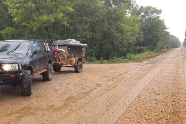
Delta NF, Sunflower WMA Access Road
Delta NF, Sunflower WMA Access Road is a flat, four-mile dirt levee road designed for drivers of any experience level looking for a direct route into the heart of the Delta National Forest. Running along the top of a levee just north of Vicksburg, Mississippi, this beginner-friendly path sits at an ...
Learn more about Delta NF, Sunflower WMA Access Road
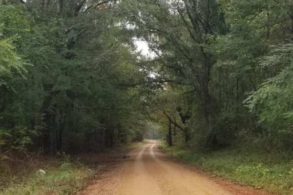
Bienville Scenic Trail
This is a scenic trail that goes north/south through the Bienville National Forest and some private land northeast of Jackson, MS. It's perfect for a short afternoon drive away from the busy city life. This trail is flat and well-maintained as it goes through the woods of the southeast US. Part of t...
Learn more about Bienville Scenic Trail
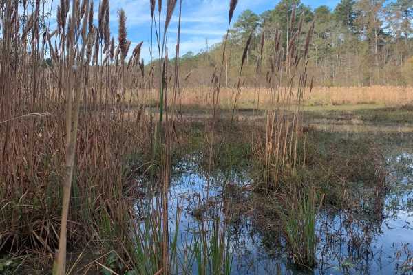
Beinville NF (Lena to Laurel)
This scenic, easy-going route through Bienville National Forest is perfect for beginners, families, and anyone seeking a relaxed off-road adventure on well-maintained terrain. Stretching approximately 13.9 miles from Hillsboro Ludlow Road to Highway 13 just north of the Morton city limits, the trail...
Learn more about Beinville NF (Lena to Laurel)
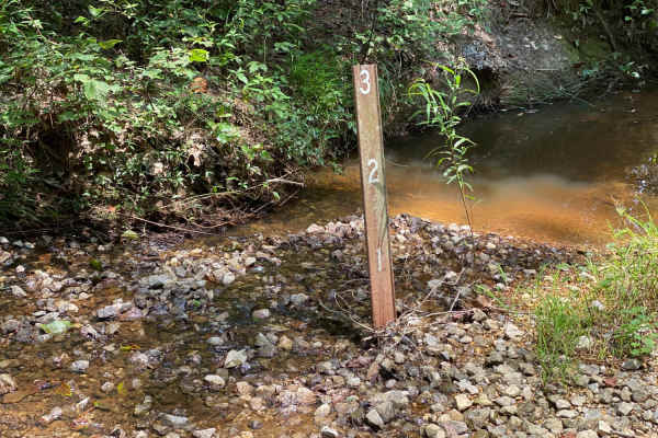
Pine Tar Corner
Pine Tar Corner offers a mild yet highly engaging four-wheel-drive adventure through the tranquil southwest corner of Bienville National Forest, standing out for its rich forest scenery and abundant primitive camping options. Spanning roughly 7.5 miles, this scenic route links USFS Road 516, Smith C...
Learn more about Pine Tar Corner
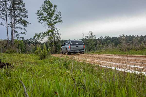
NF550
As you enter this trailhead you'll be on hard packed gravel that slowly turns into washouts, so keep a slower pace. As you advance down the trail you'll notice that the woods turn to cutover, soon after that you'll find some deep ruts that are extremely muddy when wet. The majority of this trail is ...
Learn more about NF550
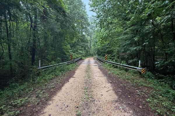
FS 533
As you turn off Highway 35 onto FS 533, there will be well-maintained, hard-packed gravel for a while. Then, as you traverse the trail, the first obstacle is a gnarly washout that spans across the width of the road, followed by a muddy downhill descent. You'll eventually come across a bridge over Sh...
Learn more about FS 533
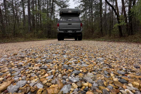
FS 527/FS 527A
This forest service road is located right outside of Raleigh on Highway 35 in the Shongelo Ranger District. FS527 runs right into FS527A and that road dead ends into a 3 rig-sized campsite where you're very likely to see wildlife. This particular road is very well maintained other than a few spots w...
Learn more about FS 527/FS 527A
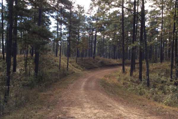
HCNF 103B Cheek Trail
This trail located in the Homochitto National Forest is an old logging trail that leads to a large open clearing area that can be used for dispersed and primitive camping. There are spurs along the trail to explore and the route has some great views of deep spurs and ridge lines.It should be noted t...
Learn more about HCNF 103B Cheek Trail
Bottom Road
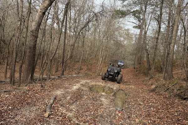
This route starts off the main road through the park. There is a small sand dune at the beginning of the trail to the right. You enter into the woods from a small field. If it is wet, you will pass through several small mud holes and several larger mud holes along the way. When you get to the end, y...
Learn more about Bottom Road
Beginner ATV trails near Edwards, Mississippi
Explore ATV-friendly trails near you. These trails are accessible for vehicles up to 50 inches wide, perfect for ATVs and smaller off-road machines.
Beinville NF (Lena to Laurel)
This scenic, easy-going route through Bienville National Forest is perfect for beginners, families, and anyone seeking a relaxed off-road adventure on well-maintained terrain. Stretching approximately 13.9 miles from Hillsboro Ludlow Road to Highway 13 just north of the Morton city limits, the trail...
Learn more about Beinville NF (Lena to Laurel)
Pine Tar Corner
Pine Tar Corner offers a mild yet highly engaging four-wheel-drive adventure through the tranquil southwest corner of Bienville National Forest, standing out for its rich forest scenery and abundant primitive camping options. Spanning roughly 7.5 miles, this scenic route links USFS Road 516, Smith C...
Learn more about Pine Tar Corner
NF550
As you enter this trailhead you'll be on hard packed gravel that slowly turns into washouts, so keep a slower pace. As you advance down the trail you'll notice that the woods turn to cutover, soon after that you'll find some deep ruts that are extremely muddy when wet. The majority of this trail is ...
Learn more about NF550
FS 533
As you turn off Highway 35 onto FS 533, there will be well-maintained, hard-packed gravel for a while. Then, as you traverse the trail, the first obstacle is a gnarly washout that spans across the width of the road, followed by a muddy downhill descent. You'll eventually come across a bridge over Sh...
Learn more about FS 533
Beginner UTV/side-by-side trails near Edwards, Mississippi
Find UTV and side-by-side trails near you. These trails accommodate vehicles up to 60 inches wide, ideal for UTVs, side-by-sides, and wider off-road rigs.
Beinville NF (Lena to Laurel)
This scenic, easy-going route through Bienville National Forest is perfect for beginners, families, and anyone seeking a relaxed off-road adventure on well-maintained terrain. Stretching approximately 13.9 miles from Hillsboro Ludlow Road to Highway 13 just north of the Morton city limits, the trail...
Learn more about Beinville NF (Lena to Laurel)
Pine Tar Corner
Pine Tar Corner offers a mild yet highly engaging four-wheel-drive adventure through the tranquil southwest corner of Bienville National Forest, standing out for its rich forest scenery and abundant primitive camping options. Spanning roughly 7.5 miles, this scenic route links USFS Road 516, Smith C...
Learn more about Pine Tar Corner
NF550
As you enter this trailhead you'll be on hard packed gravel that slowly turns into washouts, so keep a slower pace. As you advance down the trail you'll notice that the woods turn to cutover, soon after that you'll find some deep ruts that are extremely muddy when wet. The majority of this trail is ...
Learn more about NF550
FS 533
As you turn off Highway 35 onto FS 533, there will be well-maintained, hard-packed gravel for a while. Then, as you traverse the trail, the first obstacle is a gnarly washout that spans across the width of the road, followed by a muddy downhill descent. You'll eventually come across a bridge over Sh...
Learn more about FS 533
The onX Offroad Difference
onX Offroad combines trail photos, descriptions, difficulty ratings, width restrictions, seasonality, and more in a user-friendly interface. Available on all devices, with offline access and full compatibility with CarPlay and Android Auto. Discover what you're missing today!
Open Trail Map