Trail Overview
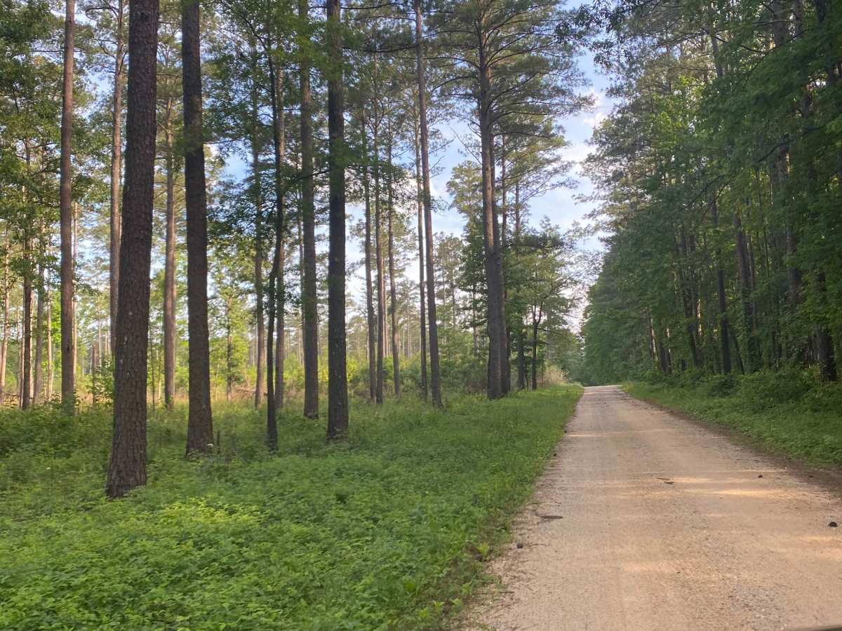
This scenic, easy-going route through Bienville National Forest is perfect for beginners, families, and anyone seeking a relaxed off-road adventure on well-maintained terrain. Stretching approximately 13.9 miles from Hillsboro Ludlow Road to Highway 13 just north of the Morton city limits, the trail consists entirely of hard-packed gravel, offering a smooth drive with minimal elevation changes. Navigating this trail is straightforward, with a maximum elevation of 477 feet and a gentle cumulative elevation gain of around 147 feet, making it highly accessible for stock four-wheel-drive vehicles, all-wheel-drive crossovers, and even standard passenger cars under dry conditions.
While the main corridor remains highly accessible with only an occasional rut, those looking to extend their journey will find numerous intersecting forest service roads that offer opportunities for side loops and deeper exploration. Drivers should exercise caution when exploring these lesser-used spurs, as they are not as frequently maintained and can quickly transition into more technical, muddy, or rutted terrain requiring high clearance. The route can easily be driven in either direction, and its proximity to Morton provides convenient access to local amenities.







 Offroad