
Beginner Off-Road Trails
Near Eatonville, Washington
Explore All Beginner Trails Near Eatonville, Washington
Beginner Off-Road Trails Near Eatonville, Washington
Discover the best beginner-friendly off-road trails near you. These easier, lower-rated trails are a great place to start — browse trail maps, check difficulty ratings, and find your next adventure.
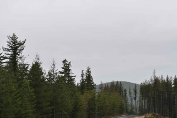
DNR 8 to Elbe Hills OHV
15 minutes outside of the quaint town of Eatonville, you'll find one of the locals' favorite OHV areas. This 8.1-mile trail accesses the Elbe Hills OHV Area from the west side and boasts several offshoots for dispersed camping. It has openings with amazing territorial views on a clear day, and moody...
Learn more about DNR 8 to Elbe Hills OHV
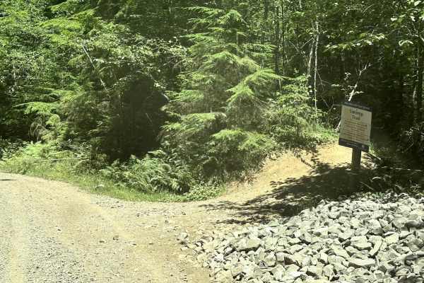
9 Road
This 4.5-mile point-to-point trail gives access to most of the 4WD trails (Mainline, Sunrise, Alder Loop, and Swamp trail) within the Elbe Hills ORV Area. It also gives access to the campground and dispersed camping area. At the end of the trail, there is a little obstacle area. This trail is a main...
Learn more about 9 Road
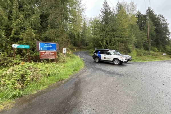
DNR Road 5 - Elbe OHV Access
On the outskirts of the town of Elbe just off of State Route 7, you'll find 7.1 miles of well-maintained gravel with peekaboo scenic overlooks of the valley below. Parts of the trail have a steep incline and sections have potholes and washboards sprinkled throughout. This is a fairly straightforward...
Learn more about DNR Road 5 - Elbe OHV Access
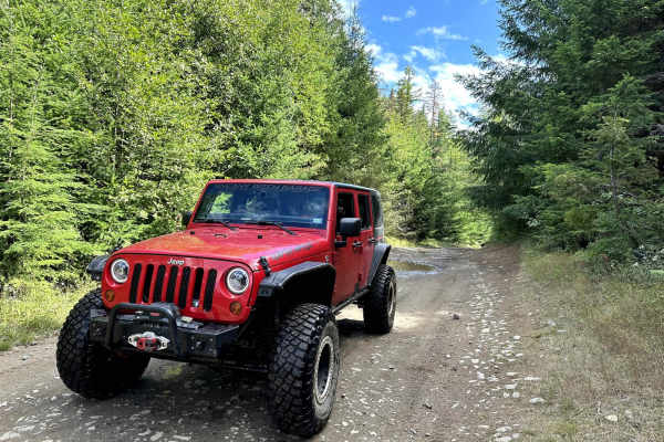
Road 99
This short 1-mile point-to-point trail gives access to several different trails in the Elbe Hills Trail System. This is a forest service road generally used by vehicles for the maintenance of the Elbe Hills off-road trail system. This trail is passable by 2WD, AWD, and 4WD vehicles.
Learn more about Road 99
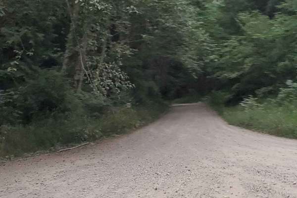
Last Regrets Lane
This is the gentlest trail you will find at Elbe ORV Park. Long and flat it's a great access point for tow trucks. Elbe park is a destroyer of rigs. You will find lots of camping sites along the main paths. With trails reaching level 10 in some places, those campsites are good to make note of. Let t...
Learn more about Last Regrets Lane
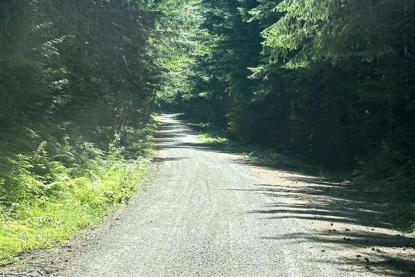
8 Road
This 2.7-mile point-to-point trail leads up to the Elbe Hills ORV park area. The Elbe Hills ORV park area has a campground and dispersed camping areas and requires the Washington State Discovery Pass. This is a maintained Forest Service road that is passable by 2WD, AWD, and 4WD vehicles. There is a...
Learn more about 8 Road
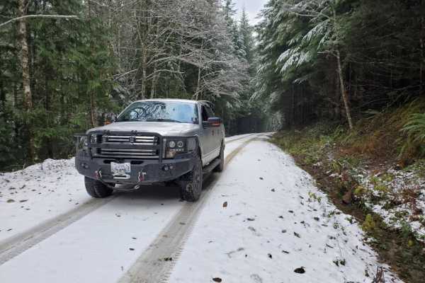
East Creek Overlook
An easy out-and-back trail offering scenic views for any skill level, this path starts on FR74 and winds its way through aspen groves and moss-draped rainforest on an open and well-graded gravel road, before turning at the 2 mile mark onto NF-7409, a tight two track known as Wildcat Trail. From ther...
Learn more about East Creek Overlook
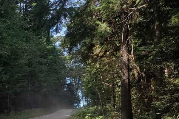
Narnia
A gentle gravel trail leads off East Creek Overlook. This long winding path is gentle and there is always a place to avoid potholes. Drive through the green forest with lots of small animals. This road will take you deep into the Gifford Pinchot forest where washouts, landslides, and mudslides are c...
Learn more about Narnia
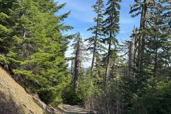
Winston Road- FS 7415
Winston Road trail is a gravel-based forest road through the National Forest. There is a significant elevation change from one end to the other as the trail is steep in some sections. There is overgrown vegetation and low overhead clearance, so you can expect some minor pin striping. Camping is avai...
Learn more about Winston Road- FS 7415

Stahl Mountain Trail
This trail is perfect for those seeking a bit more challenge than a smooth ride, with some rocky sections to keep things interesting. As you wind your way through the trail, you'll be treated to stunning views of Mount Rainier, as well as the soothing sounds of nearby creeks. And when you need to st...
Learn more about Stahl Mountain Trail
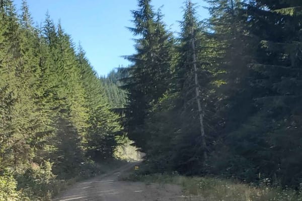
The Great Overlook Adventure Path
This incredible trail is an adventure to a steep cliffside off-road climb. On it, you will find large boulders to drive around, medium-sized obstacles, and lots of nature. Enjoy all the deep the woods has to offer being surrounded by trees. Soft ground makes for quick washouts so be prepared to take...
Learn more about The Great Overlook Adventure Path
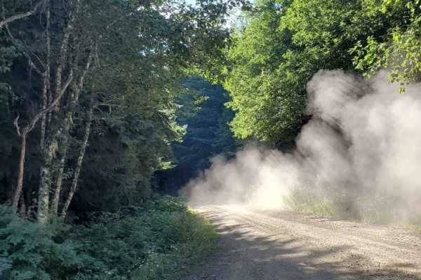
Wooded Forked Path
Gentle gravel trail. This long path is gentle but narrows in quite a few places. Drive through the green forest with lots of small animals. This road will take you deep into the Gifford Pinchot Forest where washouts, landslides, and mudslides are common. Tread slowly and cautiously. Potholes are up ...
Learn more about Wooded Forked Path
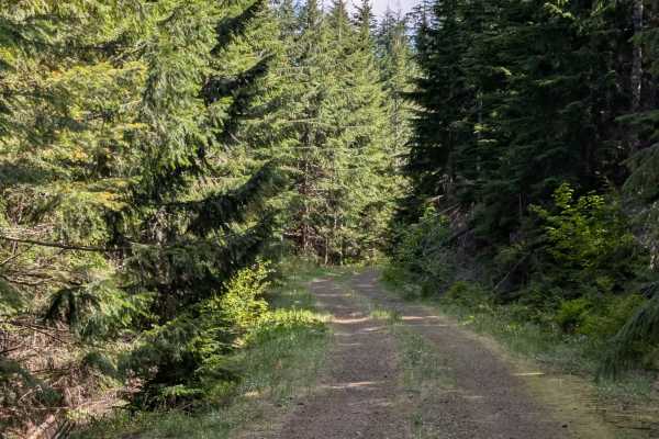
Mine Creek
Mine Creek is a basic, straightforward spur road that serves primarily as an access point rather than a lengthy drive. The driving portion of the route is short and easygoing, ultimately dead-ending at a locked gate where the land transitions into private logging property.
While the vehicle trail e...
Learn more about Mine Creek
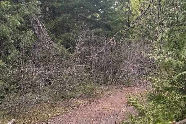
North Fork Tilton Road - FS 7300
This short 1.1-mile trail leads through the National Forest to the edge of Timber Company land. The trail is narrow in the beginning, but then it widens and is relatively smooth. The trail ends with a steep uphill climb of 13-degree pitch to a large flat opening atop a ridge that has a stunning view...
Learn more about North Fork Tilton Road - FS 7300
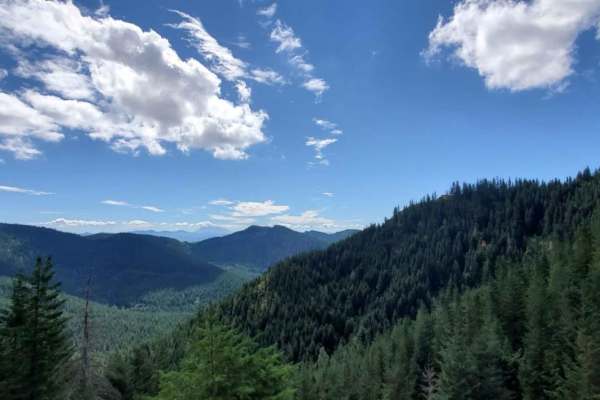
Trail to Roll Cage Landslide Canyon
This long beautiful forested trail opens up to gorgeous mountain views. Rough unkept roads make good suspension worthwhile as the rocky road seems to become quite unpredictable. Sudden drops and obvious recent landslides make this a slow travel trail. Enjoy large open skies and hidden single-car cam...
Learn more about Trail to Roll Cage Landslide Canyon
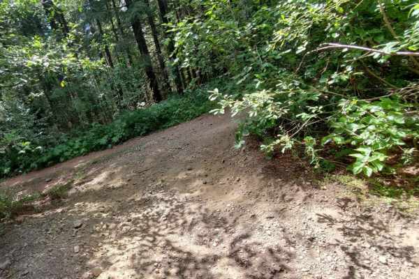
Quarry Lake Viewpoint Road
This path is the furthest from the quarry fork. It leads to a beautiful land bridge overlooking both lakes. Dense forest trails are unmaintained causing the scraping of wider vehicles. The ground is sturdy and fairly manageable, but low-hanging branches make watching the ground a slow process. The q...
Learn more about Quarry Lake Viewpoint Road

Deep Forest Trail
Thick overgrowth takes you through Gifford's Forest at a decent. Deep overgrowth makes for poor camping, but the intersection for roads at the Sothern end of the trail makes for a great quick campground. Enjoy the cooling effects of deep forest cover. The great diversity of plants makes this trail ...
Learn more about Deep Forest Trail
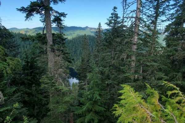
Lake Overlook Camp Out Road
This magnificent land bridge places this one-car wide lane delicately at the top of a very steep tall cliffside. The road is mostly clear of landslide debris but large rocks are not far off the path. Look over the steep edge to see the lakes way down below. But do not stand too close to the edge as ...
Learn more about Lake Overlook Camp Out Road
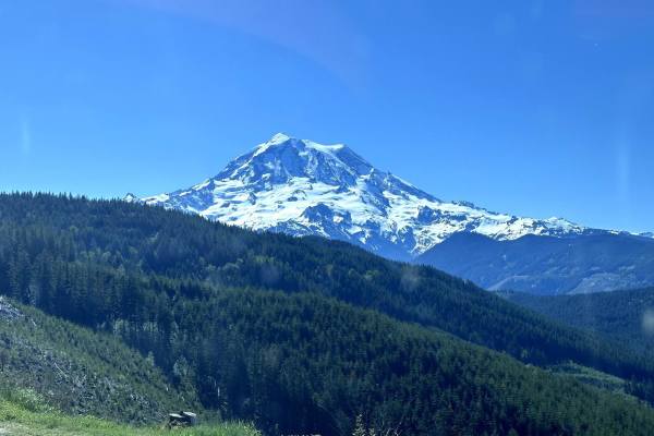
Evans Creek Campground/Trailhead
This 8.2-mile point-to-point trail begins as the pavement ends and continues to Evans Creek Campground and Trailhead. This is a well-maintained service road that is 2 vehicles wide. When open, the trail continues to Mowich Lake in Mount Rainier National Park. The campground has multiple primitive ca...
Learn more about Evans Creek Campground/Trailhead
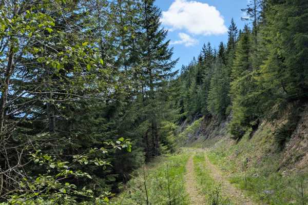
Little Creek
Little Creek Road is an aging logging route that takes you along a ridgeline before descending the valley toward the creek itself. Early on, the trail offers a couple of scenic viewpoints from the ridge. However, as you progress, the road becomes increasingly unmaintained and overgrown, with the enc...
Learn more about Little Creek
Beginner ATV trails near Eatonville, Washington
Explore ATV-friendly trails near you. These trails are accessible for vehicles up to 50 inches wide, perfect for ATVs and smaller off-road machines.
DNR 8 to Elbe Hills OHV
15 minutes outside of the quaint town of Eatonville, you'll find one of the locals' favorite OHV areas. This 8.1-mile trail accesses the Elbe Hills OHV Area from the west side and boasts several offshoots for dispersed camping. It has openings with amazing territorial views on a clear day, and moody...
Learn more about DNR 8 to Elbe Hills OHV
9 Road
This 4.5-mile point-to-point trail gives access to most of the 4WD trails (Mainline, Sunrise, Alder Loop, and Swamp trail) within the Elbe Hills ORV Area. It also gives access to the campground and dispersed camping area. At the end of the trail, there is a little obstacle area. This trail is a main...
Learn more about 9 Road
Road 99
This short 1-mile point-to-point trail gives access to several different trails in the Elbe Hills Trail System. This is a forest service road generally used by vehicles for the maintenance of the Elbe Hills off-road trail system. This trail is passable by 2WD, AWD, and 4WD vehicles.
Learn more about Road 99
Last Regrets Lane
This is the gentlest trail you will find at Elbe ORV Park. Long and flat it's a great access point for tow trucks. Elbe park is a destroyer of rigs. You will find lots of camping sites along the main paths. With trails reaching level 10 in some places, those campsites are good to make note of. Let t...
Learn more about Last Regrets Lane
Beginner UTV/side-by-side trails near Eatonville, Washington
Find UTV and side-by-side trails near you. These trails accommodate vehicles up to 60 inches wide, ideal for UTVs, side-by-sides, and wider off-road rigs.
DNR 8 to Elbe Hills OHV
15 minutes outside of the quaint town of Eatonville, you'll find one of the locals' favorite OHV areas. This 8.1-mile trail accesses the Elbe Hills OHV Area from the west side and boasts several offshoots for dispersed camping. It has openings with amazing territorial views on a clear day, and moody...
Learn more about DNR 8 to Elbe Hills OHV
9 Road
This 4.5-mile point-to-point trail gives access to most of the 4WD trails (Mainline, Sunrise, Alder Loop, and Swamp trail) within the Elbe Hills ORV Area. It also gives access to the campground and dispersed camping area. At the end of the trail, there is a little obstacle area. This trail is a main...
Learn more about 9 Road
Road 99
This short 1-mile point-to-point trail gives access to several different trails in the Elbe Hills Trail System. This is a forest service road generally used by vehicles for the maintenance of the Elbe Hills off-road trail system. This trail is passable by 2WD, AWD, and 4WD vehicles.
Learn more about Road 99
Last Regrets Lane
This is the gentlest trail you will find at Elbe ORV Park. Long and flat it's a great access point for tow trucks. Elbe park is a destroyer of rigs. You will find lots of camping sites along the main paths. With trails reaching level 10 in some places, those campsites are good to make note of. Let t...
Learn more about Last Regrets Lane
The onX Offroad Difference
onX Offroad combines trail photos, descriptions, difficulty ratings, width restrictions, seasonality, and more in a user-friendly interface. Available on all devices, with offline access and full compatibility with CarPlay and Android Auto. Discover what you're missing today!
Open Trail Map