
Beginner Off-Road Trails
Near Eagleton Village, Tennessee
Explore All Beginner Trails Near Eagleton Village, Tennessee
Beginner Off-Road Trails Near Eagleton Village, Tennessee
Discover the best beginner-friendly off-road trails near you. These easier, lower-rated trails are a great place to start — browse trail maps, check difficulty ratings, and find your next adventure.
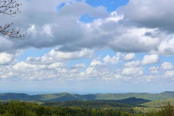
Rich Mountain Road
Rich Mountain Road is 6.6 miles and runs through the Smoky Mountain National Park and heads North out of the park. The trail is composed of loose gravel and has several twists and turns up and down the mountain. It is one way, but watch for State Park vehicles in addition to animals on the trail.
Learn more about Rich Mountain Road
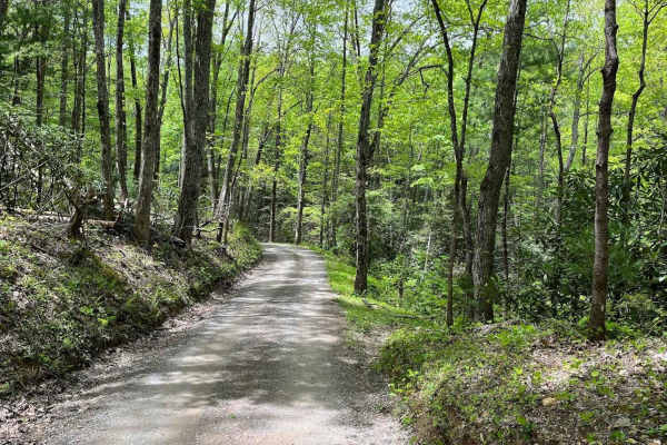
Parson Branch Road
Parson Branch is a full gravel, one-way, scenic route that leads through the Smoky Mountains. The road is maintained, however, you may find the occasional tree down after heavy storms. This is usually not a problem. There are also many shallow water crossings, all less than 1ft deep. 4WD is not need...
Learn more about Parson Branch Road
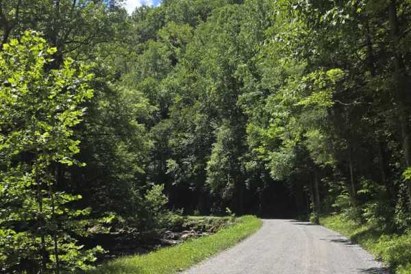
Upper Tremont Road
Upper Tremont Road is an easy gravel route that follows the scenic Middle Prong Little River through Great Smoky Mountains National Park. The well-maintained road offers a relaxing drive with gentle grades and beautiful river views for much of its length. Numerous pull-off areas provide opportunitie...
Learn more about Upper Tremont Road
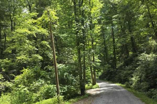
Little Greenbrier Road
Little Greenbrier Road is an easy gravel trail that offers a peaceful drive through a historic section of the Great Smoky Mountains. The route is primarily a single-lane road and begins with signage advising that passing opportunities are very limited and that vehicles towing trailers are prohibited...
Learn more about Little Greenbrier Road
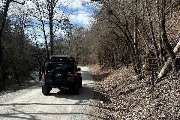
Citico Creek North
This route is located in the Cherokee National Forest, following the banks of Citico Creek. The road is primarily a two-lane gravel path that occasionally narrows to one lane. It is an easy drive, suitable for any 2-wheel drive vehicle. The main hazards to be aware of are flash flooding, which is si...
Learn more about Citico Creek North
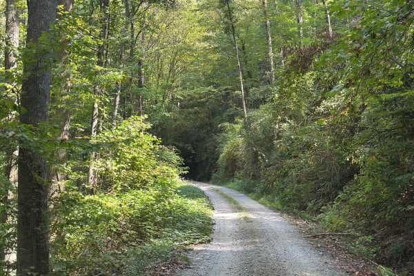
Slickrock Road
Slickrock Road is a gravel route that winds through the Nantahala National Forest. It is primarily one vehicle wide, though there are plenty of areas with room to pass. The road begins at Tapoco Road at an elevation of 1,277 feet and climbs to 3,062 feet over the course of seven miles. At the summit...
Learn more about Slickrock Road
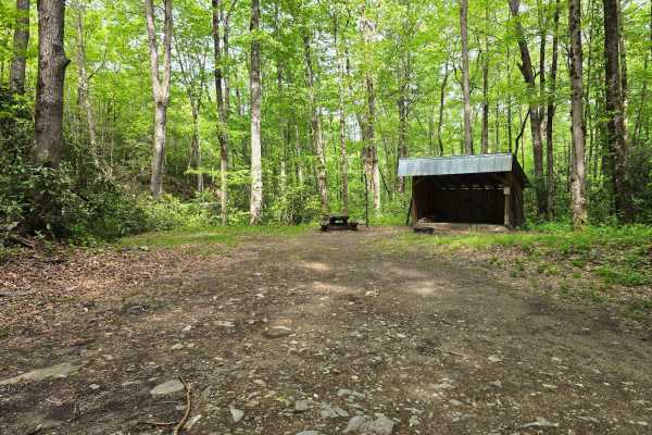
Deep Creek Road
Deep Creek Road - FS 445 is a freshly graded and well-maintained forest road that takes you right to one of the nicest campsites in the region alongside a small stream. The spot comes with a solid wood shed, making it super convenient for longer stays and keeping your firewood dry (it is often fully...
Learn more about Deep Creek Road
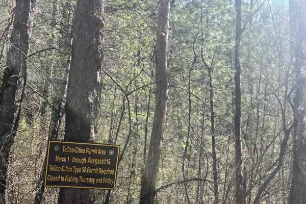
Citico Creek South
Citico CRreekNorth (FSR 35-1) is a well-traveled gravel/ rocky road. This trail will take you down to the beautiful Citico Creek. Citico Creek is well known for its fishing, However, if you want a scenic easy trail, it makes a peaceful afternoon drive. Cell service is hard to come by so make sure yo...
Learn more about Citico Creek South
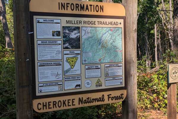
Bark Camp- Lost Cove- Miller's Ridge
This is a super easy two-track seasonal trail. This trail is only open from 10-1 to 12-18. Double-check the rules for this trail with Tellico Ranger District. It was open today with some off-shoots open as well. We didn't encounter any challenges really. The hunters run this trail both ways so be mi...
Learn more about Bark Camp- Lost Cove- Miller's Ridge
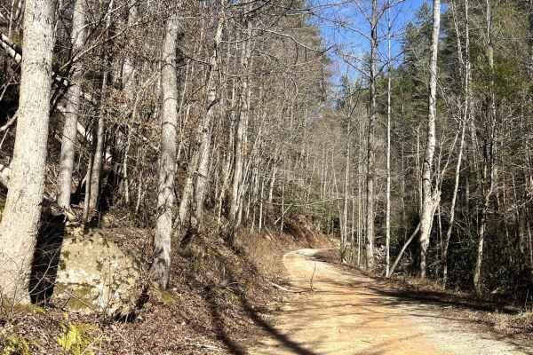
Double Camp
Double Camp Road (FSR 2659) is a rocky trail that winds up the mountain to the Farr Gap trailhead. Along the trail, you will find yourself traveling along the scenic Double CampCreekk. It's a great place to stop for lunch and enjoy the sounds of the rushing water. Further up the trail, you will sepa...
Learn more about Double Camp
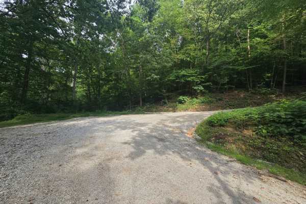
Walden Ridge Road
Easy Gravel drive that takes you from the Dutch Valley Area over the mountain to Laurel Grove. At the top of the mountain is the famous Walden's Ridge Trail at Windrock. You do not need to have a permit to be on this gravel road; however, if you go onto Windrock Property (Trail 75), you will need a ...
Learn more about Walden Ridge Road

Campground Connector
Campground Connector is a fun way of getting from Windrock Park's Campground to the general store on P1. Make the most of your time winding through the woods. This trail also requires a land use permit, so if you're just camping, then you would not be allowed to take this route. Be advised that it c...
Learn more about Campground Connector
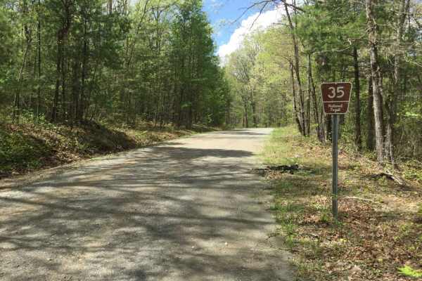
Citico Creek South
Citico Creek South (35) is a maintained gravel road that intersects with Indian Boundary Road from the east, Rafter Road in the middle, and turns into Turkey Creek Road from the west. There may be a few potholes, ruts, or downed trees along the way, but it can be traveled by any high clearance 2WD o...
Learn more about Citico Creek South
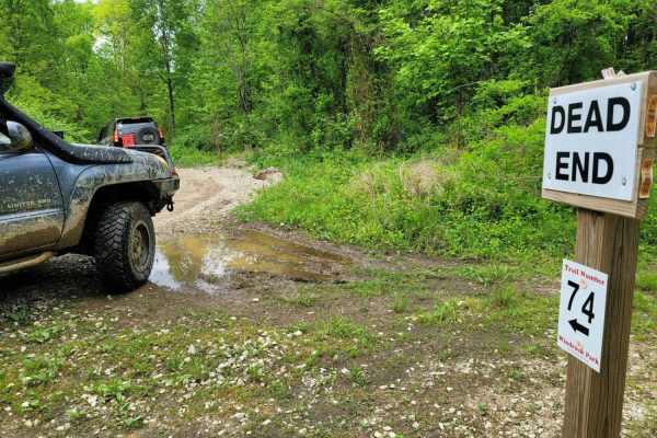
74 - Middle Ridge
Trail 74 - Middle Ridge winds through to complete Trail G67 to exit you out of the park or bring you in for an adventure from HWY 116. This easy "Blue" trail, as Windrock Park identifies it, is spot on, as washouts and ruts could cause problems for those with low ground clearance but is no harder th...
Learn more about 74 - Middle Ridge
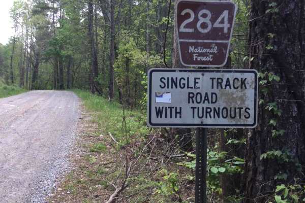
Rafter Road
Rafter Road is a well-maintained 2-vehicle-wide gravel road with several residences throughout. There are some beautiful views of the mountains on the west end, and a nice creek crossing about halfway on this section. You may encounter potholes or downed trees while traveling this road, but most veh...
Learn more about Rafter Road
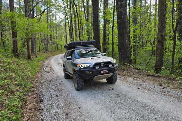
Farley Cove - FS 407
This is a 2/10 primarily gravel route that winds through the mountains alongside Lake Santeetlah with beautiful views peeking through the trees with a few spots granting access to the lake for fishing. It terminates at a wide turnaround alongside a small stream. Please note that there are some small...
Learn more about Farley Cove - FS 407
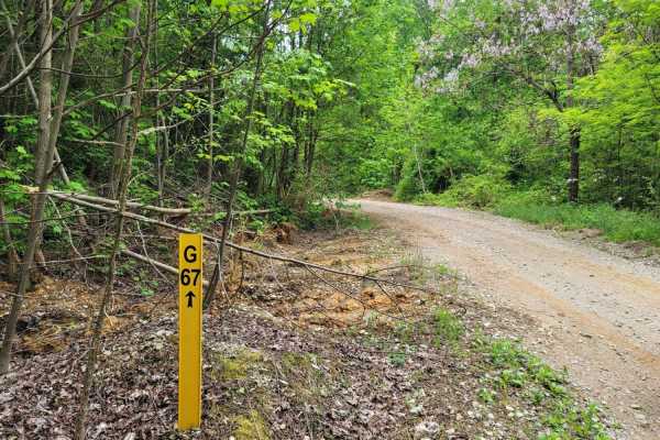
G67 - Brown Flats
Easy traveling is G67. This trail is the epitome of a stroll in the park with its smooth gravel roads with intermittent mud puddles to make the most basic rides feel like a scenic adventure. There may be some standing water that is scarier than it looks, boasting width, but is majorly lacking in dep...
Learn more about G67 - Brown Flats
G31 - Pinstripe Alley
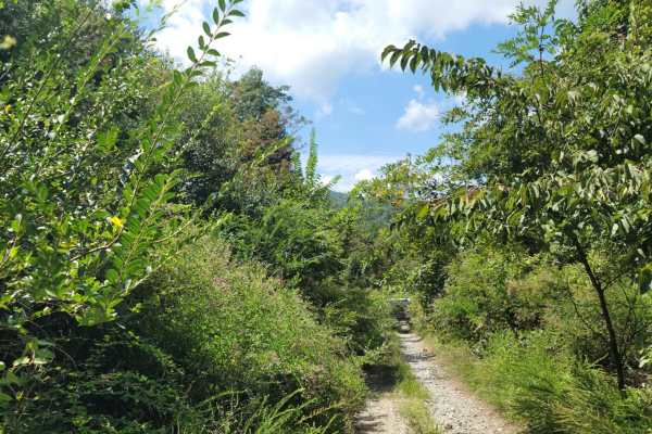
Trail G31 - Pinstripe Alley almost explains itself. If you are worried about your paint, this would not be a good trail to take. The spring time brings extra growth with the vegetation gravitating to water. It is full of thorns, thistles and bushes. While the hedges can be a deterrent, it does allow...
Learn more about G31 - Pinstripe Alley
Trail 2
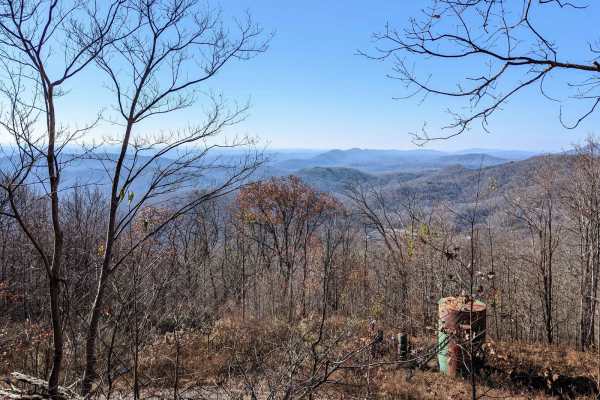
The trail is visibly marked and crosses paths with many other trails--a really nice slow climb winding up the small mountain. There are small to moderate mud holes, rocks 6-12 inches in size, and a couple of small rock ledges. There are harder and easier lines on the ledges. The views are amazing!
Learn more about Trail 2
73 - Harness Creek
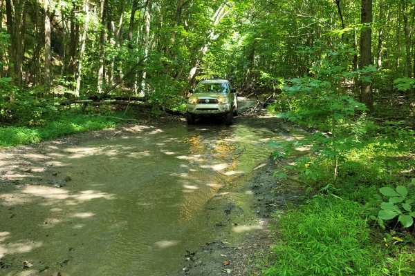
Trail 73 - Harness Creek begins at the end of Trail G31. This easy blue trail according to the Windrock Park map is a short, shady section that will cool you off on a hot summer day. Much of the creek can overflow and make this trail resemble riding a creek bed. One small section will have a short s...
Learn more about 73 - Harness Creek
Beginner ATV trails near Eagleton Village, Tennessee
Explore ATV-friendly trails near you. These trails are accessible for vehicles up to 50 inches wide, perfect for ATVs and smaller off-road machines.
Slickrock Road
Slickrock Road is a gravel route that winds through the Nantahala National Forest. It is primarily one vehicle wide, though there are plenty of areas with room to pass. The road begins at Tapoco Road at an elevation of 1,277 feet and climbs to 3,062 feet over the course of seven miles. At the summit...
Learn more about Slickrock Road
Bark Camp- Lost Cove- Miller's Ridge
This is a super easy two-track seasonal trail. This trail is only open from 10-1 to 12-18. Double-check the rules for this trail with Tellico Ranger District. It was open today with some off-shoots open as well. We didn't encounter any challenges really. The hunters run this trail both ways so be mi...
Learn more about Bark Camp- Lost Cove- Miller's Ridge
Campground Connector
Campground Connector is a fun way of getting from Windrock Park's Campground to the general store on P1. Make the most of your time winding through the woods. This trail also requires a land use permit, so if you're just camping, then you would not be allowed to take this route. Be advised that it c...
Learn more about Campground Connector
74 - Middle Ridge
Trail 74 - Middle Ridge winds through to complete Trail G67 to exit you out of the park or bring you in for an adventure from HWY 116. This easy "Blue" trail, as Windrock Park identifies it, is spot on, as washouts and ruts could cause problems for those with low ground clearance but is no harder th...
Learn more about 74 - Middle Ridge
Beginner UTV/side-by-side trails near Eagleton Village, Tennessee
Find UTV and side-by-side trails near you. These trails accommodate vehicles up to 60 inches wide, ideal for UTVs, side-by-sides, and wider off-road rigs.
Parson Branch Road
Parson Branch is a full gravel, one-way, scenic route that leads through the Smoky Mountains. The road is maintained, however, you may find the occasional tree down after heavy storms. This is usually not a problem. There are also many shallow water crossings, all less than 1ft deep. 4WD is not need...
Learn more about Parson Branch Road
Slickrock Road
Slickrock Road is a gravel route that winds through the Nantahala National Forest. It is primarily one vehicle wide, though there are plenty of areas with room to pass. The road begins at Tapoco Road at an elevation of 1,277 feet and climbs to 3,062 feet over the course of seven miles. At the summit...
Learn more about Slickrock Road
Bark Camp- Lost Cove- Miller's Ridge
This is a super easy two-track seasonal trail. This trail is only open from 10-1 to 12-18. Double-check the rules for this trail with Tellico Ranger District. It was open today with some off-shoots open as well. We didn't encounter any challenges really. The hunters run this trail both ways so be mi...
Learn more about Bark Camp- Lost Cove- Miller's Ridge
Campground Connector
Campground Connector is a fun way of getting from Windrock Park's Campground to the general store on P1. Make the most of your time winding through the woods. This trail also requires a land use permit, so if you're just camping, then you would not be allowed to take this route. Be advised that it c...
Learn more about Campground Connector
The onX Offroad Difference
onX Offroad combines trail photos, descriptions, difficulty ratings, width restrictions, seasonality, and more in a user-friendly interface. Available on all devices, with offline access and full compatibility with CarPlay and Android Auto. Discover what you're missing today!
Open Trail Map