Parson Branch Road

Total Miles8
Technical Rating
2Easy
Best TimeSpring, Summer, Fall
Trail TypeFull-Width Road
Accessible By
Open Trail Map

Trail Overview

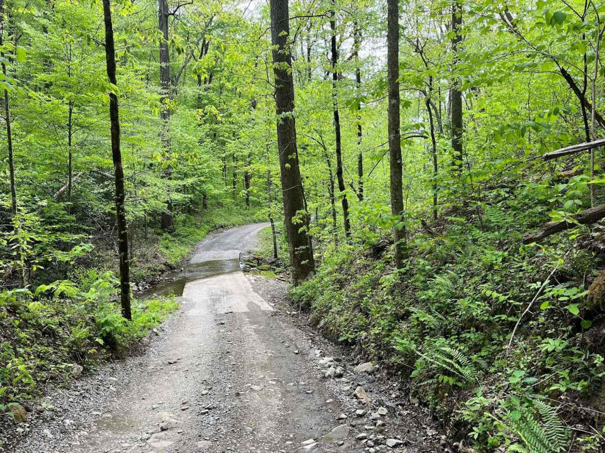
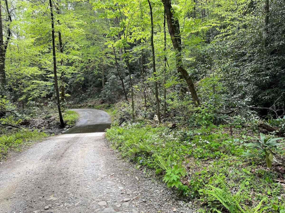
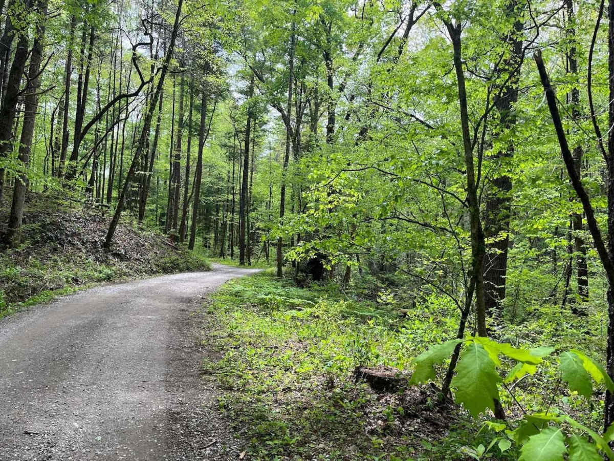
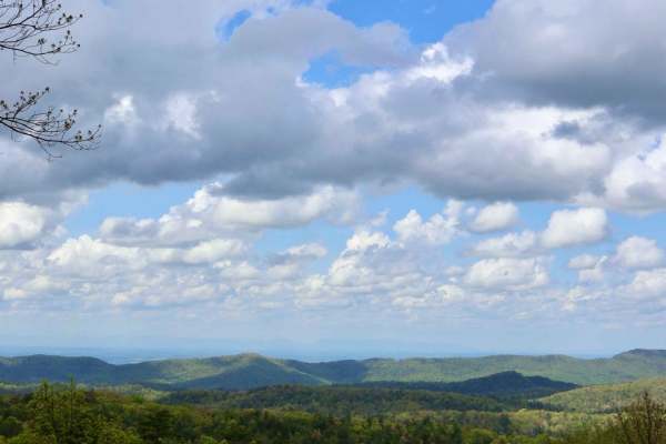
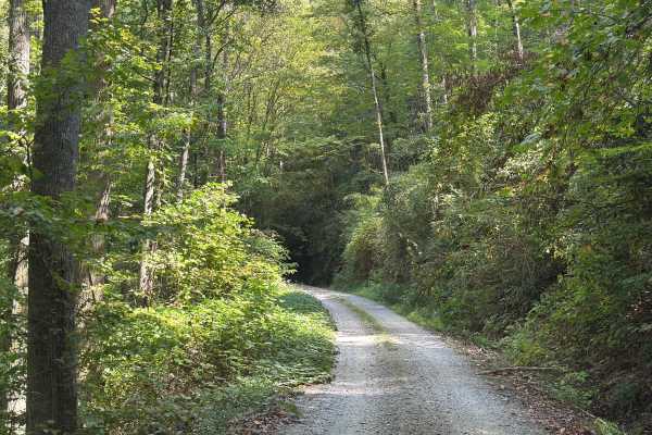
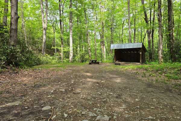
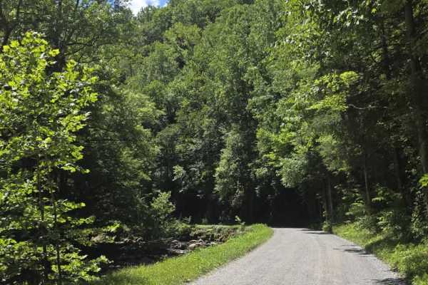
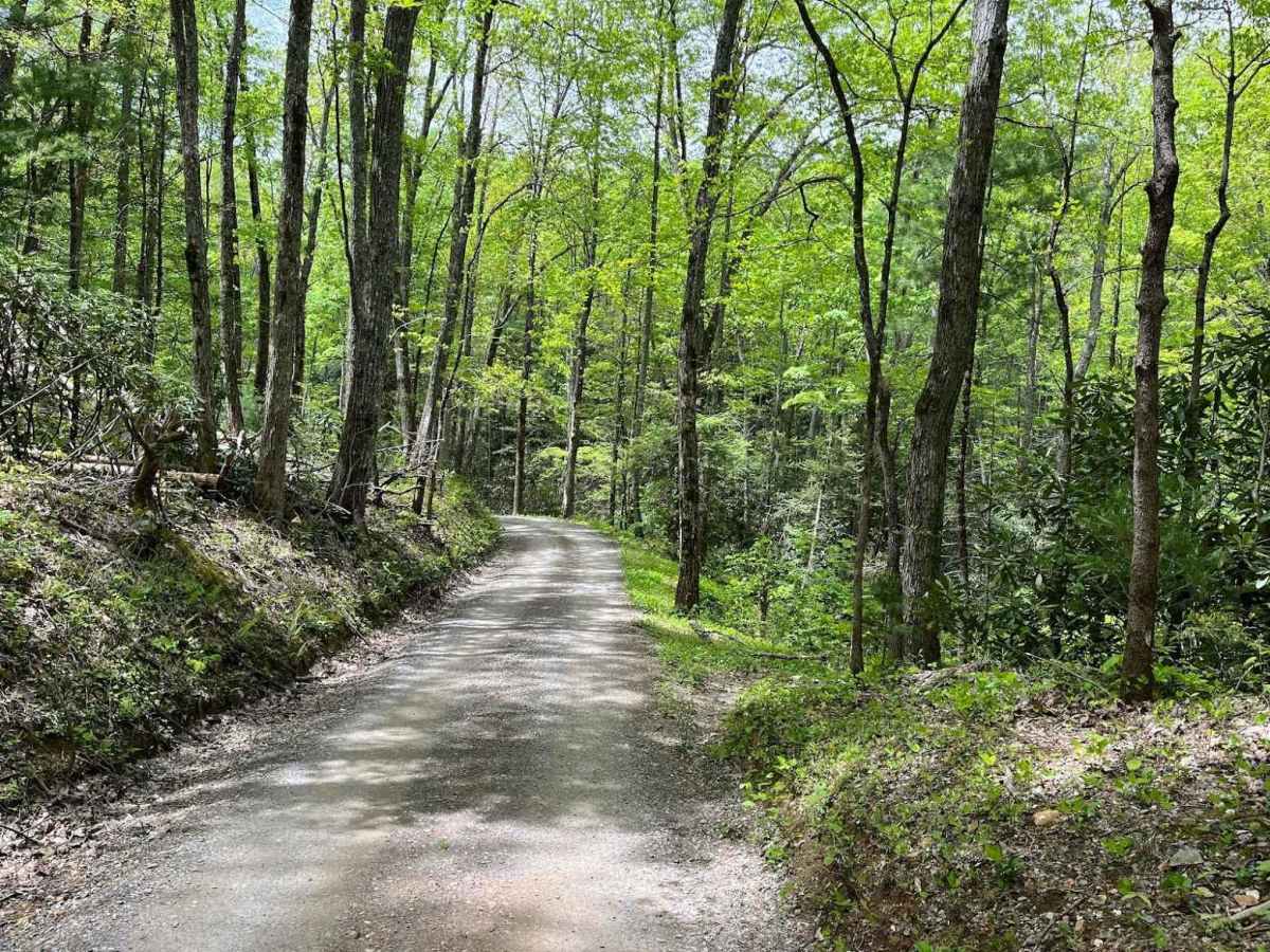
Parson Branch is a full gravel, one-way, scenic route that leads through the Smoky Mountains. The road is maintained, however, you may find the occasional tree down after heavy storms. This is usually not a problem. There are also many shallow water crossings, all less than 1ft deep. 4WD is not needed at all for the route and is friendly for stock-height vehicles.

Photos of Parson Branch Road

Difficulty

One vehicle wide with occasional pull-offs. One-way route. Many shallow water crossings, all less than 1ft deep. Possibility of trees on the road after heavy storms. If not for those mentioned, I would give this trail a 1 for its rating.

History

The route was completed in 1838. It connects Cades Cove to Tail of the Dragon.

Technical Rating

2

Status Reports

Add Status Report
Dustin C
yesterday
Temporarily Closed
Seasonal Closure
Corey R.
Nov 06, 2026
2025 Ford F-150 Raptor
Open
Normal
Very easy trail. A Honda CRV could likely complete with 0 issues. Great fall colors all around.
Tony Marsili
Nov 05, 2026
2018 Jeep Wrangler
Temporarily Closed
Weather Event
Closed for downed trees
Pete Angle
Oct 30, 2026
2025 GMC AT4
Open
Normal
I actually rode my Husqvarna. Motorcycles are allowed on this road. It was a beautiful day to send it.
Bob S
Oct 25, 2026
2025 Toyota 4Runner
Open
Normal
Great drive down to come out on the Dragons Tail! Trail was easily manageable with a stock 4x4 with clearance. Many water crossings but there had been no rain so they were no problem.
Jeff Nelson
Oct 21, 2026
Open
Normal
Easy one way trail from Cades Cover area and ends in the middle of Tail of the Dragon. Nice sightseeing trail, some ruts but easy. Did not need to use four wheel drive in Bronco. Creek crossings were shallow and paved.
Nathan
Oct 17, 2026
2016 Lexus GX460
Open
Normal
Very fun drive from Cades Cove to the Dragon. The start of the trail had some fairly deep whoops that required A-TRAC use on my lightly modified GX460.
Jeff Gora
Oct 16, 2026
2021 Ford Bronco
Open
Normal
One hill on the Gregory Ridge side that took effort/4L to get up (heading South) - otherwise an easy and beautiful drive. (A suburban and 2500 pickup passed me heading in the same direction.)
Connor A
Oct 13, 2026
2003 Lexus LX
Open
Normal
Beautiful scenic trail. Easy gravel, just one hill with some good ruts that needs 4wd.
Chris J
Oct 13, 2026
2025 Land Rover Defender
Open
Normal
Fun trail to drive. Most of the creek crossings are only about an inch deep or dry because of the drought. Well maintained road. Only one uphill early into the trail had deep ruts.
Bryan Robison
Oct 11, 2026
2024 Ford Bronco
Open
Muddy/Wet
Bear, deer, hogs
Cory Gerlach
Oct 04, 2026
Open
Muddy/Wet
We had a great time and was our first off-road experience in our new Gladiator. The trail was not too difficult.
Al Gleason
Oct 02, 2026
2026 Nissan Pro-4X
Open
NormalDusty
Beautiful Drive - my first off-road in my new 2026 Frontier Pro4x. All stock. Easy drive - went into 4wd once because I stopped going up a hill. Saw several bears. Nice and off the beaten path. Saw a few Jeeps and met one brave bicyclist.
Dwain Pannell
Sep 20, 2026
2022 Ford Badlands
Open
Easy trail. Linked up with another group of Broncos. Some were from Ontario. It was cool to meet likeminded trail riders.
Alex n
Sep 13, 2026
2025 Nissan Frontier Pro 4-X
Open
Normal

Parson Branch Road Trail can be accessed by the following ride types:

  • 60 Inch
  • High Clearance
  • Full Width

Parson Branch Road Map

The onX Offroad Difference

onX Offroad combines trail photos, descriptions, difficulty ratings, width restrictions, seasonality, and more in a user-friendly interface. Available on all devices, with offline access and full compatibility with CarPlay and Android Auto. Discover what you're missing today!

Open Trail Map