
Beginner Off-Road Trails
Near Dellrose, Tennessee
Explore All Beginner Trails Near Dellrose, Tennessee
Beginner Off-Road Trails Near Dellrose, Tennessee
Discover the best beginner-friendly off-road trails near you. These easier, lower-rated trails are a great place to start — browse trail maps, check difficulty ratings, and find your next adventure.

Counts Road
Counts Road is a public gravel road that winds through the farmland of southern Middle Tennessee. It connects Highway 22 to Old Highway 22, offering a fun and scenic alternative to the paved route. The road is very flat, well-maintained, and suitable for an easy countryside drive. At the intersectio...
Learn more about Counts Road
Whites Gap Road
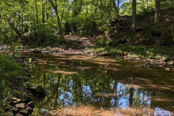
Whites Gap Road is a public road in southern Tennessee, located just north of the Alabama border. The route is primarily gravel with several rocky creek crossings that can add a bit of challenge depending on conditions. Traveling from north to south, you’ll encounter a creek crossing with a steep em...
Learn more about Whites Gap Road
Cheek's Bend Road
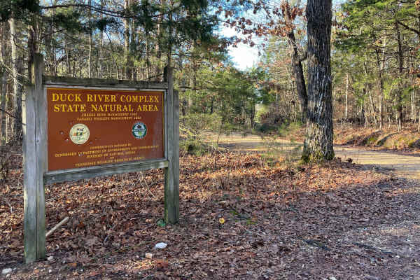
Part of the Duck River Complex State Natural Area and Yanahli Wildlife Management Area trail system. No fee is required to drive Cheek’s Bend Road. Access is open year-round. Visitors hiking in the area may optionally contribute via an online donation system available by QR code at the hiking trailh...
Learn more about Cheek's Bend Road
Paint Rock Trail
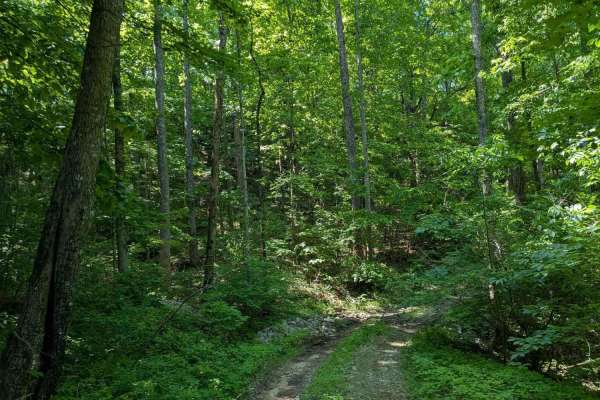
IMPORTANT: This trail is only open during Tennessee hunting seasons, typically from mid-August through late May. Visitors should reference the Tennessee Wildlife Resources Agency website for current access dates and regulations before visiting. Paint Rock Trail is a 3-mile gravel trail that leads in...
Learn more about Paint Rock Trail
Burns Bottoms Road
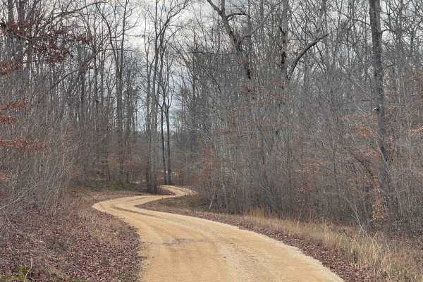
Part of the Laurel Hill Wildlife Management Area Trail System. Drivers must possess a valid annual Hunt/Fish license, available online. Access is open year-round and restricted to daylight hours only (closed dusk to dawn). Burns Bottoms Road is a maintained gravel and dirt route winding through mixe...
Learn more about Burns Bottoms Road

VFW Road
Part of the Laurel Hill Wildlife Management Area trail system. A permit is not required to access this lake trail, only to fish. Access is open year-round and restricted to daylight hours only (closed dusk to dawn).
The VFW Lake Track is a short gravel access route that follows the shoreline of VFW...
Learn more about VFW Road
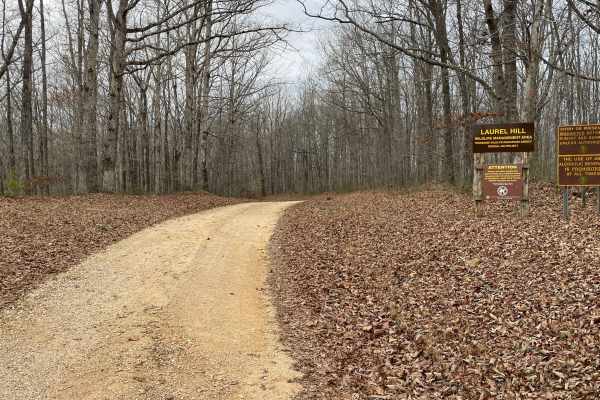
Finnie Road
Finnie Road is a gravel access route within Laurel Hill Wildlife Management Area, providing vehicle access through mixed hardwood forest and connecting interior management roads. Drivers must possess a valid annual Hunt/Fish license, available at GoOutdoorsTennessee.com. Tennessee resident licenses ...
Learn more about Finnie Road
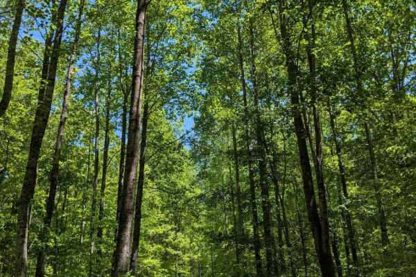
Joe Carter Way
IMPORTANT: This trail is only open during Tennessee hunting seasons, typically from mid-August through late May. Visitors should reference the Tennessee Wildlife Resources Agency website for current access dates and regulations before visiting. Joe Carter Way is a 1.6-mile dirt trail that branches o...
Learn more about Joe Carter Way
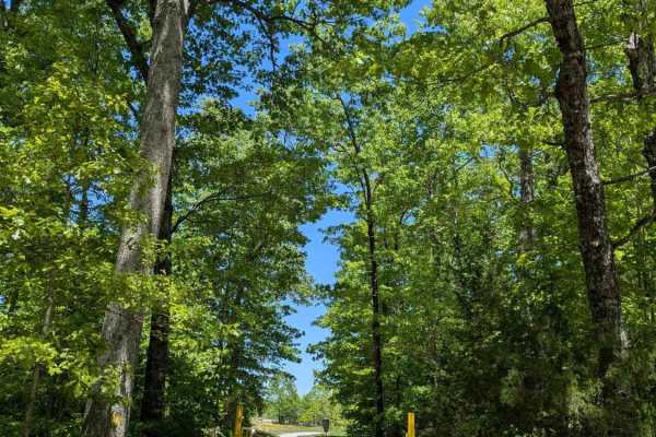
Bear Hollow Road
IMPORTANT: This trail is only open during Tennessee hunting seasons, typically from mid-August through late May. Visitors should reference the Tennessee Wildlife Resources Agency website for current access dates and regulations before visiting. Bear Hollow Road is a 2.5-mile gravel trail that leads ...
Learn more about Bear Hollow Road
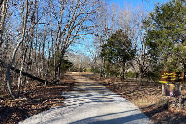
Artemis Lane
Artemis Lane is a primary interior access route within Laurel Hill Wildlife Management Area and one of the longest drivable tracks in the system at approximately six miles. Drivers must possess a valid annual Hunt/Fish license, available at GoOutdoorsTennessee.com. Tennessee resident licenses are $3...
Learn more about Artemis Lane
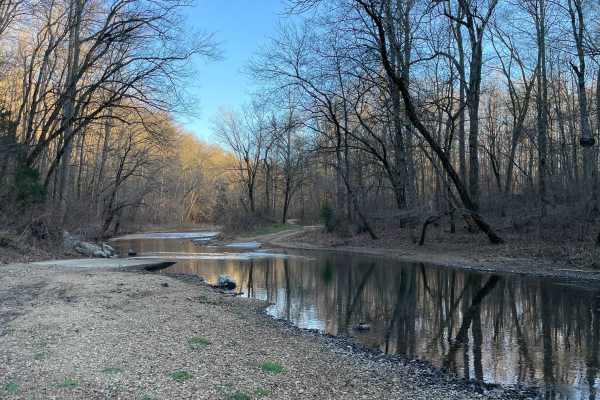
CC Road
CC Road is a short but important connector route within the Laurel Hill Wildlife Management Area, serving as one of the primary eastern access points into the WMA. The road links Laurel Hill Road on the east with Artemis Lane to the west, transitioning from pavement at the entrance to gravel once in...
Learn more about CC Road
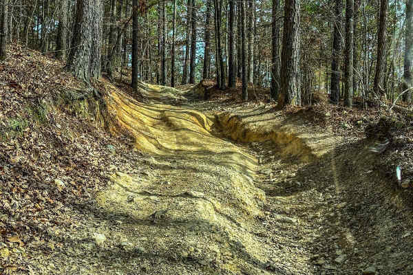
Upper Ridge Trail
This trail is smoother than the surrounding trails it connects to. Once you come off the Evans Ridge Trail, you can turn left and continue onto many other trails. If you take a left, you can also exit the area and reach the main road. Continuing left onto the Upper Ridge Trail, you'll encounter a va...
Learn more about Upper Ridge Trail
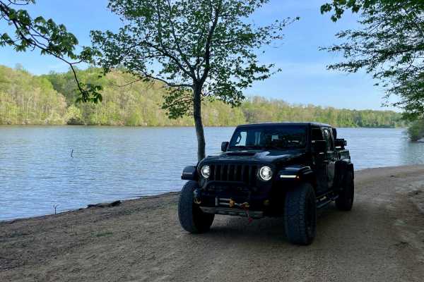
Peter Cave Road
Part of the Laurel Hill Wildlife Management Area Trail System. Drivers must possess a valid annual Hunt/Fish license, available online. Access is open year-round and restricted to daylight hours only (closed dusk to dawn). -- Peter Cave Rd. is a short access spur that provides direct entry to the we...
Learn more about Peter Cave Road
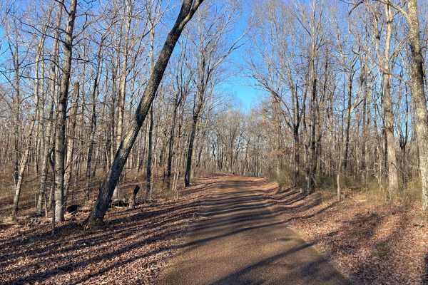
Laurel Hill Road
Laurel Hill Road is a scenic east–west traverse across the northern end of the Laurel Hill Wildlife Management Area, connecting Natchez Trace Parkway on the west to CC Road on the east. While both termini begin on pavement, the route quickly transitions to well-maintained gravel once inside the WMA,...
Learn more about Laurel Hill Road
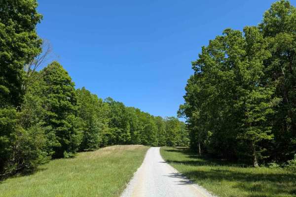
Poplar Springs Road
IMPORTANT: This trail is only open during Tennessee hunting seasons, typically from mid-August through late May. Visitors should reference the Tennessee Wildlife Resources Agency website for current access dates and regulations before visiting. Poplar Springs Road is a 3.2-mile gravel trail that lea...
Learn more about Poplar Springs Road
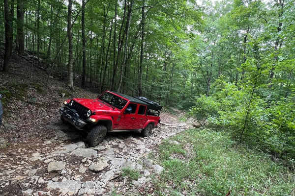
Betsy Gap Trail
This is a bi-directional trail that connects Little Coon River Trail to Poplar Springs Trail. When running from Little Coon River Trail, you will start out by climbing up an area of large slick rock and dirt. Some areas on the elevation change will be loose rock that can cause some traction issues. ...
Learn more about Betsy Gap Trail
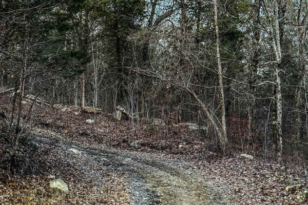
Poplar Springs Trail
This trail can be run in either direction but is best run from North to South. Starting at the North part you will head South. The trail is mostly down the mountain. There are areas that have large mud areas that will be slick and can be deep depending on the time of year. A few areas have some dro...
Learn more about Poplar Springs Trail

Little Coon River Trail
This trail is I bi-directional trail that connects the start of the James D. Martin Skyline WMA to the Upper Ridge Trail and Mountain Bypass Trail. This is an easy-to-moderate trail with multiple water crossings. The water level is dependent upon the season and the recent rain. More water will be in...
Learn more about Little Coon River Trail
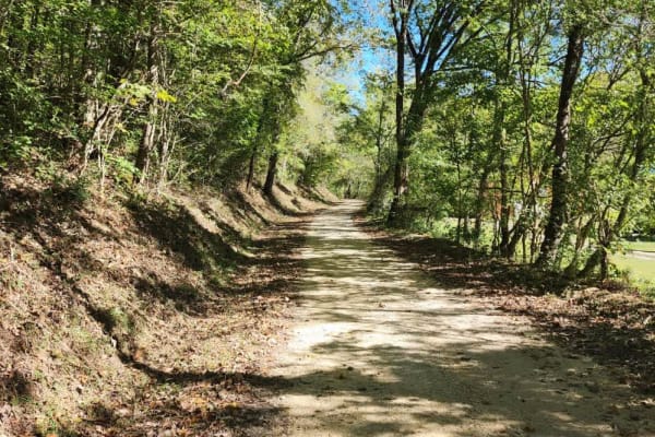
Dutch Potts Hollow Road
This is a public access dirt road that makes up a portion of the famed, Tennessee Dirt Devil. While not particularly challenging, trail riders will enjoy beautiful views graced with rockwork and a very nice waterfall. The surrounding property off the roadway is private property so be sure to stay on...
Learn more about Dutch Potts Hollow Road
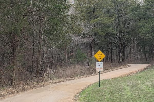
Web Hollow Road
This is a public access dirt road that makes up a portion of the famed, Tennessee Dirt Devil. While not particularly challenging, trail riders will enjoy several elevation changes along a winding trail through a mixed forest. Several single-lane wooden bridges are along the route so be aware of the ...
Learn more about Web Hollow Road
Beginner ATV trails near Dellrose, Tennessee
Explore ATV-friendly trails near you. These trails are accessible for vehicles up to 50 inches wide, perfect for ATVs and smaller off-road machines.
Cheek's Bend Road
Part of the Duck River Complex State Natural Area and Yanahli Wildlife Management Area trail system. No fee is required to drive Cheek’s Bend Road. Access is open year-round. Visitors hiking in the area may optionally contribute via an online donation system available by QR code at the hiking trailh...
Learn more about Cheek's Bend Road
Burns Bottoms Road
Part of the Laurel Hill Wildlife Management Area Trail System. Drivers must possess a valid annual Hunt/Fish license, available online. Access is open year-round and restricted to daylight hours only (closed dusk to dawn). Burns Bottoms Road is a maintained gravel and dirt route winding through mixe...
Learn more about Burns Bottoms Road
VFW Road
Part of the Laurel Hill Wildlife Management Area trail system. A permit is not required to access this lake trail, only to fish. Access is open year-round and restricted to daylight hours only (closed dusk to dawn).
The VFW Lake Track is a short gravel access route that follows the shoreline of VFW...
Learn more about VFW Road
Finnie Road
Finnie Road is a gravel access route within Laurel Hill Wildlife Management Area, providing vehicle access through mixed hardwood forest and connecting interior management roads. Drivers must possess a valid annual Hunt/Fish license, available at GoOutdoorsTennessee.com. Tennessee resident licenses ...
Learn more about Finnie Road
Beginner UTV/side-by-side trails near Dellrose, Tennessee
Find UTV and side-by-side trails near you. These trails accommodate vehicles up to 60 inches wide, ideal for UTVs, side-by-sides, and wider off-road rigs.
Cheek's Bend Road
Part of the Duck River Complex State Natural Area and Yanahli Wildlife Management Area trail system. No fee is required to drive Cheek’s Bend Road. Access is open year-round. Visitors hiking in the area may optionally contribute via an online donation system available by QR code at the hiking trailh...
Learn more about Cheek's Bend Road
Burns Bottoms Road
Part of the Laurel Hill Wildlife Management Area Trail System. Drivers must possess a valid annual Hunt/Fish license, available online. Access is open year-round and restricted to daylight hours only (closed dusk to dawn). Burns Bottoms Road is a maintained gravel and dirt route winding through mixe...
Learn more about Burns Bottoms Road
VFW Road
Part of the Laurel Hill Wildlife Management Area trail system. A permit is not required to access this lake trail, only to fish. Access is open year-round and restricted to daylight hours only (closed dusk to dawn).
The VFW Lake Track is a short gravel access route that follows the shoreline of VFW...
Learn more about VFW Road
Finnie Road
Finnie Road is a gravel access route within Laurel Hill Wildlife Management Area, providing vehicle access through mixed hardwood forest and connecting interior management roads. Drivers must possess a valid annual Hunt/Fish license, available at GoOutdoorsTennessee.com. Tennessee resident licenses ...
Learn more about Finnie Road
The onX Offroad Difference
onX Offroad combines trail photos, descriptions, difficulty ratings, width restrictions, seasonality, and more in a user-friendly interface. Available on all devices, with offline access and full compatibility with CarPlay and Android Auto. Discover what you're missing today!
Open Trail Map