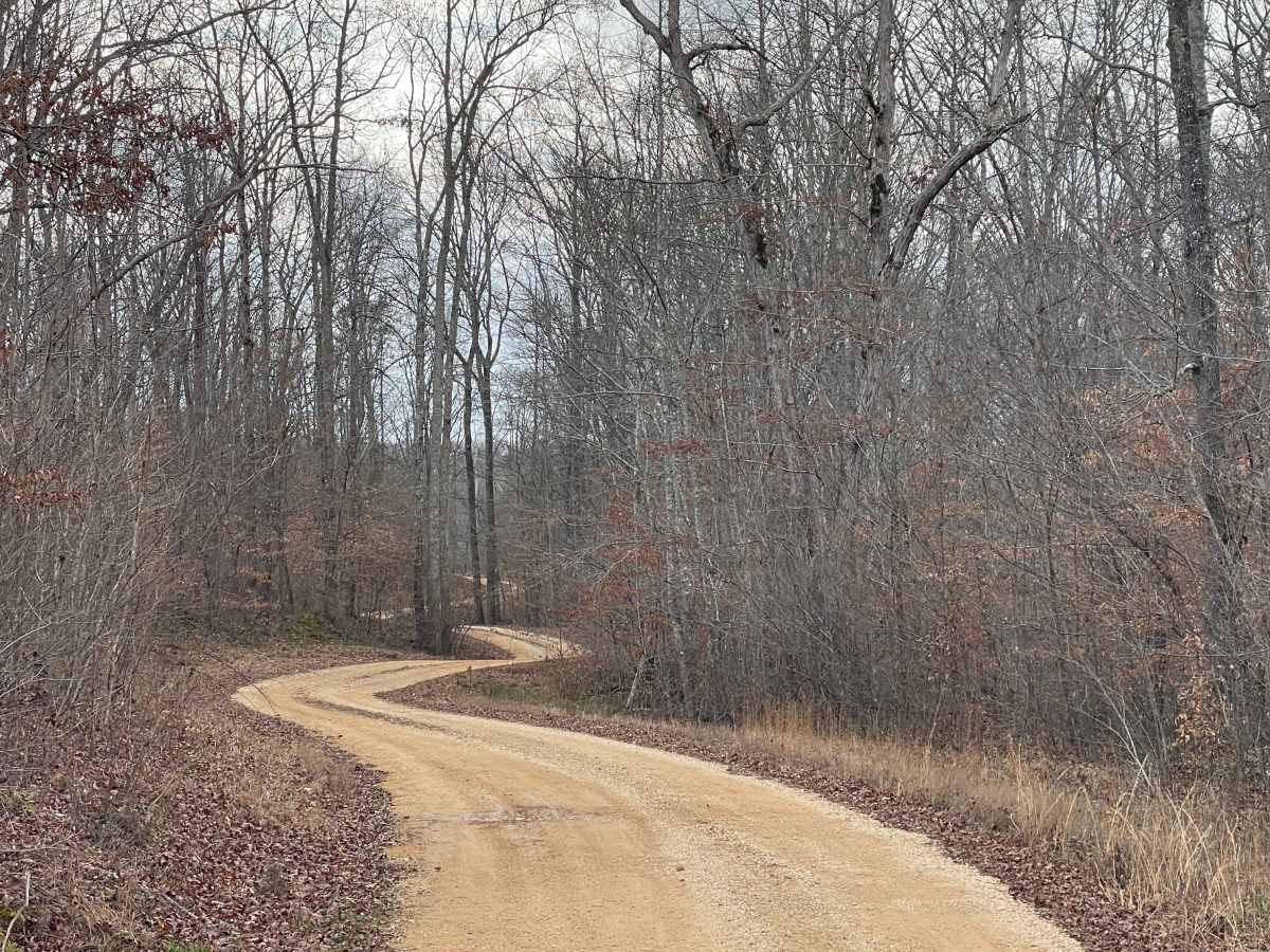
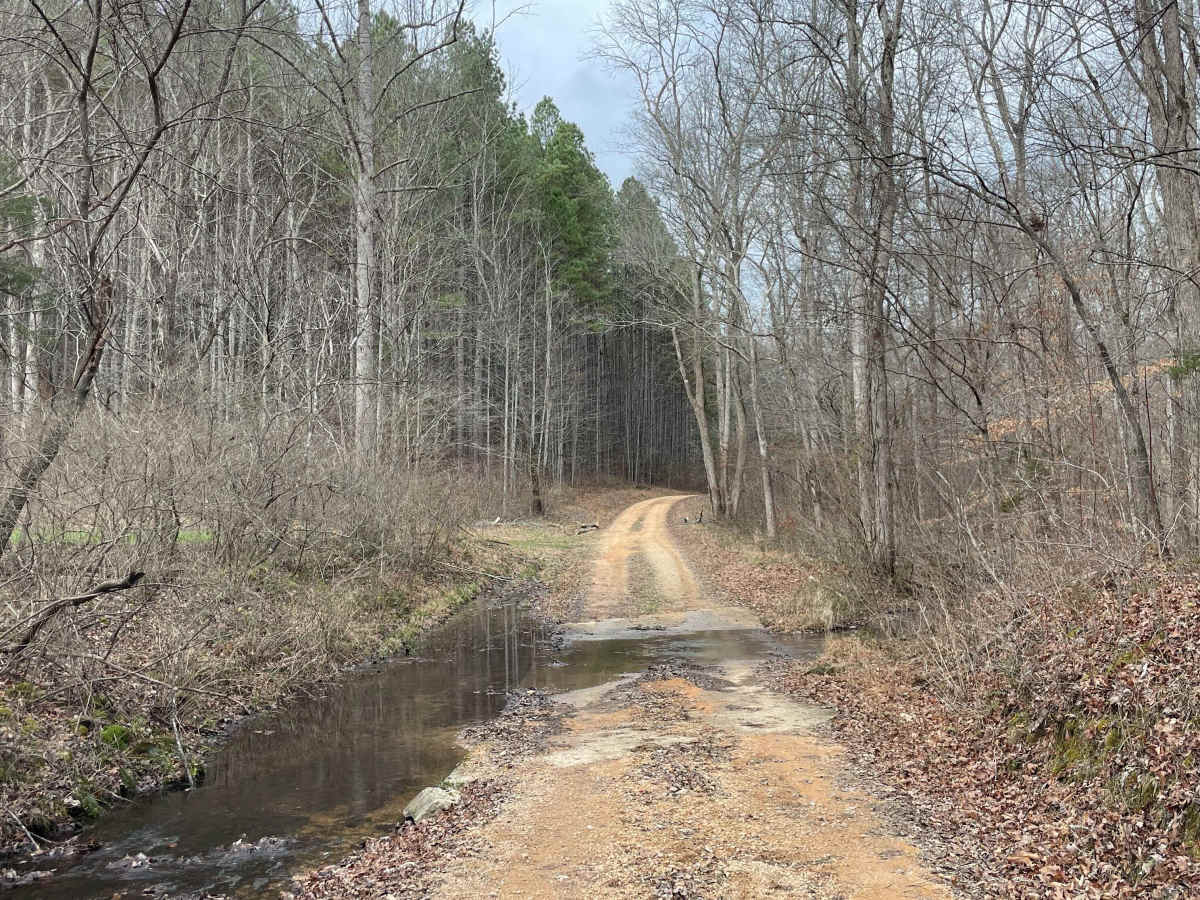
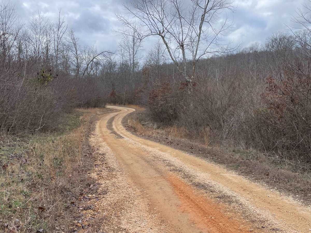
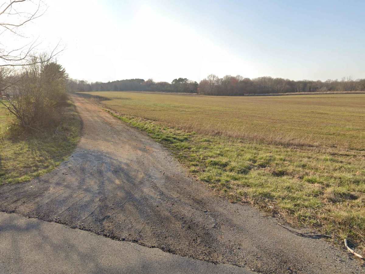
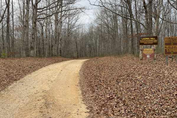
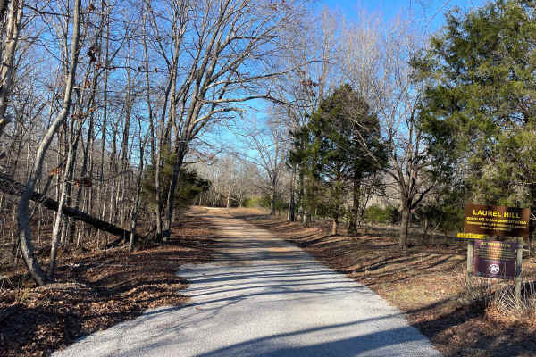
Trail Overview
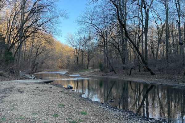
Part of the Laurel Hill Wildlife Management Area Trail System. Drivers must possess a valid annual Hunt/Fish license, available online. Access is open year-round and restricted to daylight hours only (closed dusk to dawn). Burns Bottoms Road is a maintained gravel and dirt route winding through mixed hardwood forest within Laurel Hill Wildlife Management Area. The road features gentle curves, mild elevation changes, and a generally firm surface suitable for stock 4×4 vehicles in dry conditions. Seasonal leaf cover may obscure shallow ruts, and the surface can become slick after rainfall. Two low-water concrete crossings are present along the route. Water levels are typically shallow but may rise quickly after heavy rain, and muddy approaches can increase difficulty when wet. Cell service is limited to nonexistent, and no developed facilities are available. Traffic is generally light, though shared use with hunters and land managers should be expected during open seasons.
Difficulty
Rated Easy. Burns Bottoms Road is a maintained gravel and dirt access road with a firm surface and no technical obstacles. The single most challenging features are two low-water concrete crossings, which are typically shallow and straightforward in normal conditions. The trail is suitable for most stock 2x4 and 4×4 vehicles, with difficulty increasing only temporarily after heavy rainfall due to slick surfaces or muddy approaches.