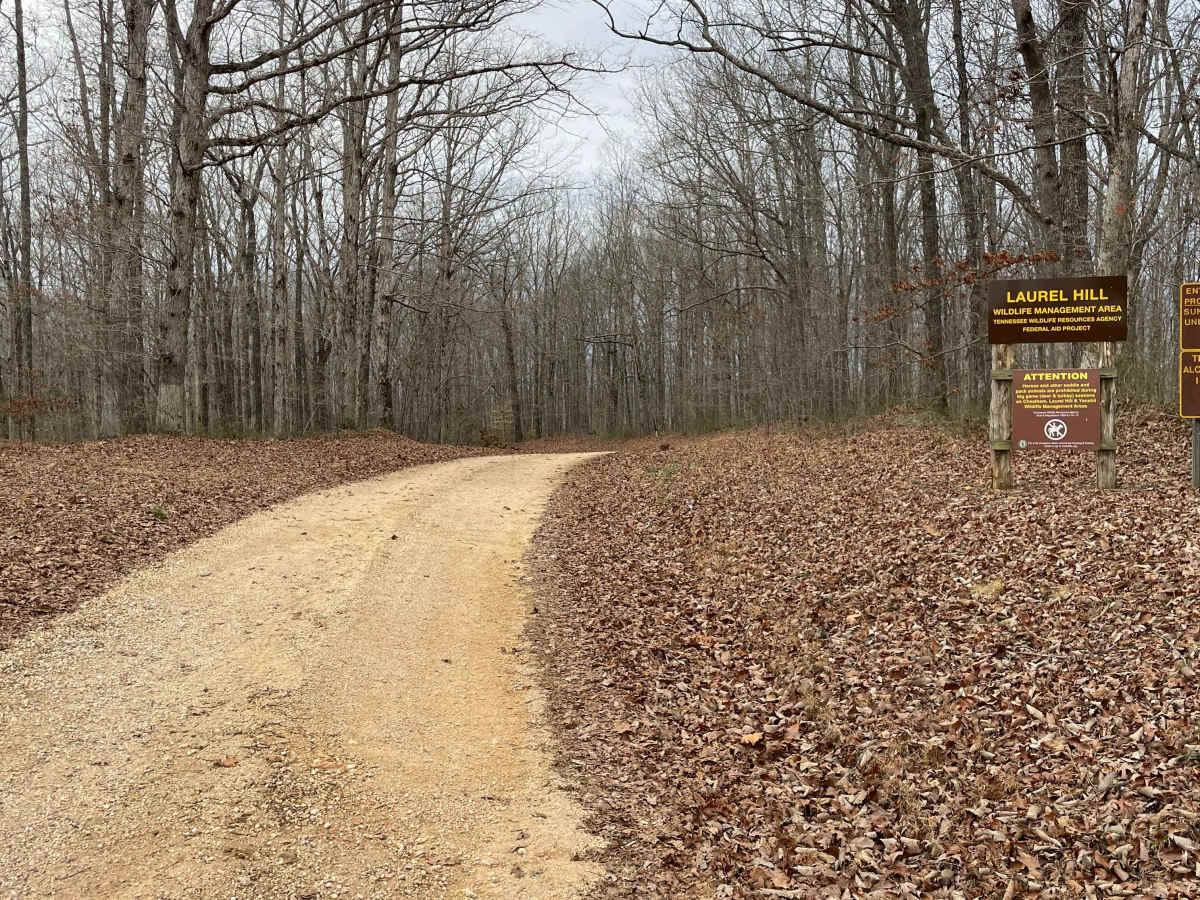
Trail Overview
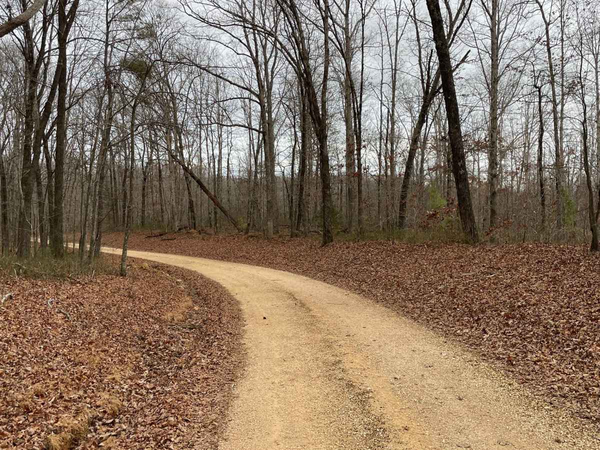
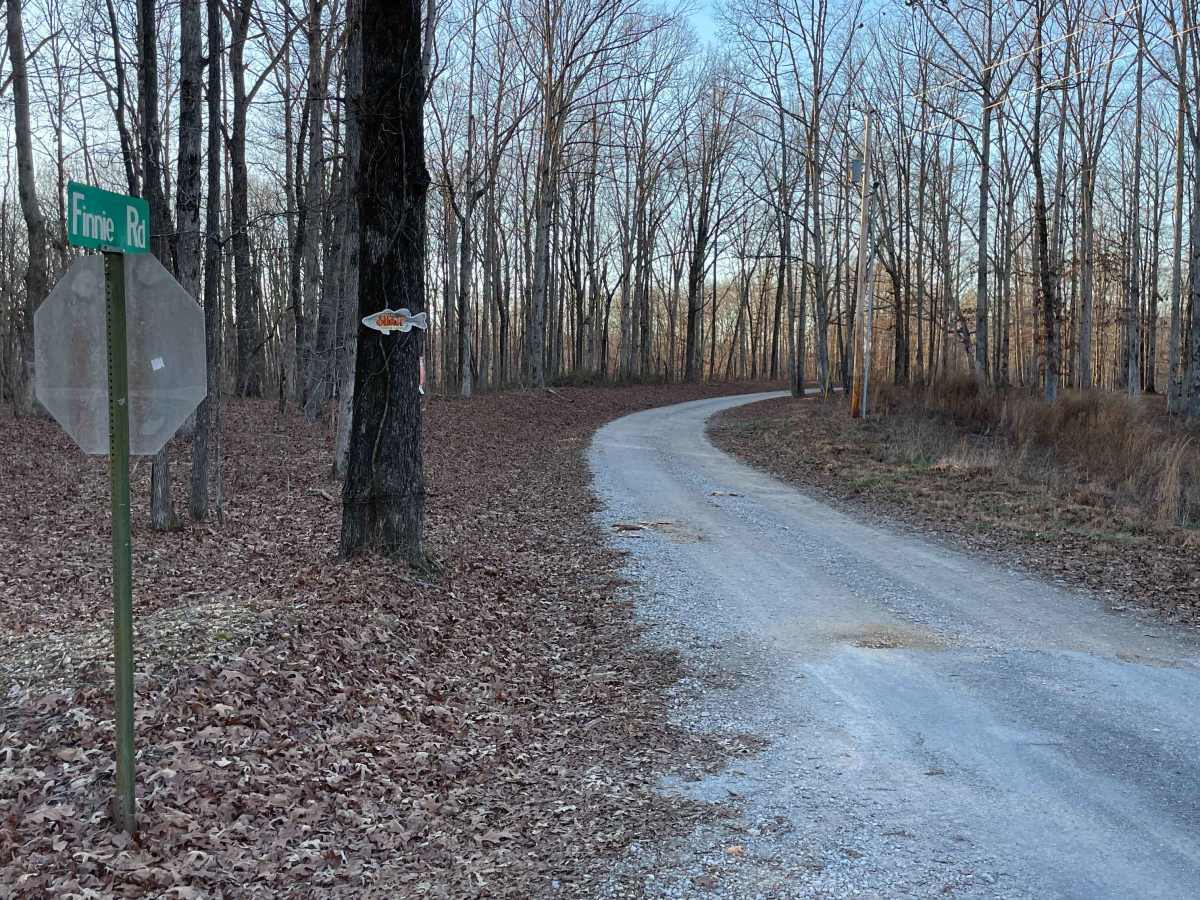
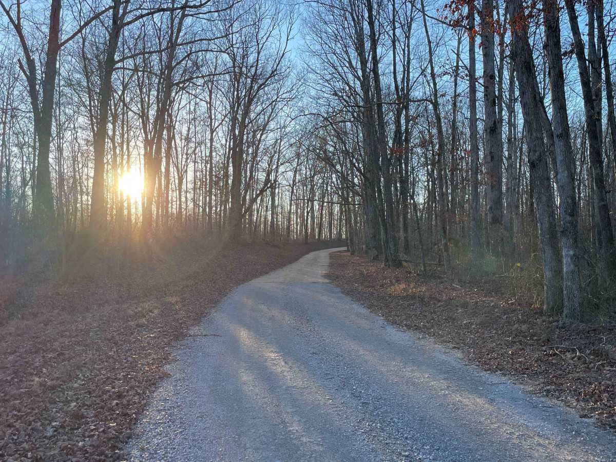
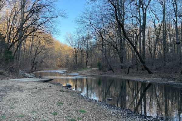
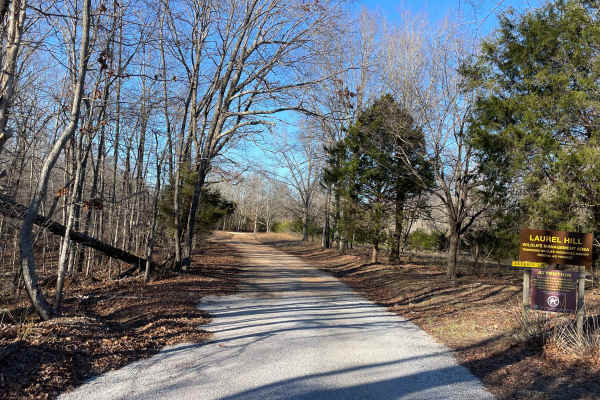
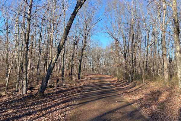
Finnie Road is a gravel access route within Laurel Hill Wildlife Management Area, providing vehicle access through mixed hardwood forest and connecting interior management roads. Drivers must possess a valid annual Hunt/Fish license, available at GoOutdoorsTennessee.com. Tennessee resident licenses are $33. Access is open year-round and restricted to daylight hours only (closed dusk to dawn). As the main entrance into the trail system from the east, the route features a compacted gravel surface with gentle curves and rolling terrain. Finnie Road is well-maintained and suitable for stock 4×4 vehicles in dry conditions. Leaf cover and damp gravel can reduce traction after rainfall, but there are no technical obstacles, steep grades, or water crossings along this segment. This road sees shared use with wildlife management personnel, local residents, and recreational users accessing surrounding WMA lands. Cell service is limited to nonexistent. Drivers should expect light traffic, proceed at low speeds, and remain alert for pedestrians and wildlife, particularly during early morning and evening hours.
Difficulty
Rated Easy. Finnie Road is a maintained gravel route with a wide, stable surface and no technical features. The road is suitable for stock 4×4 vehicles, with minor difficulty increases possible after rain due to slick gravel or leaf accumulation.