Trail Overview
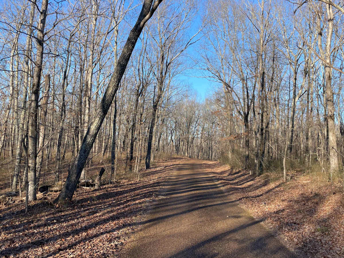
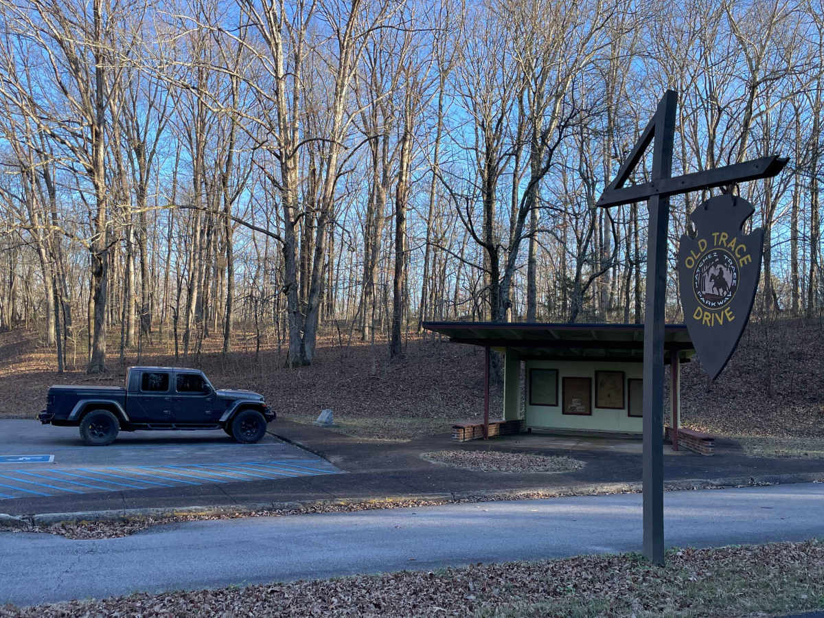
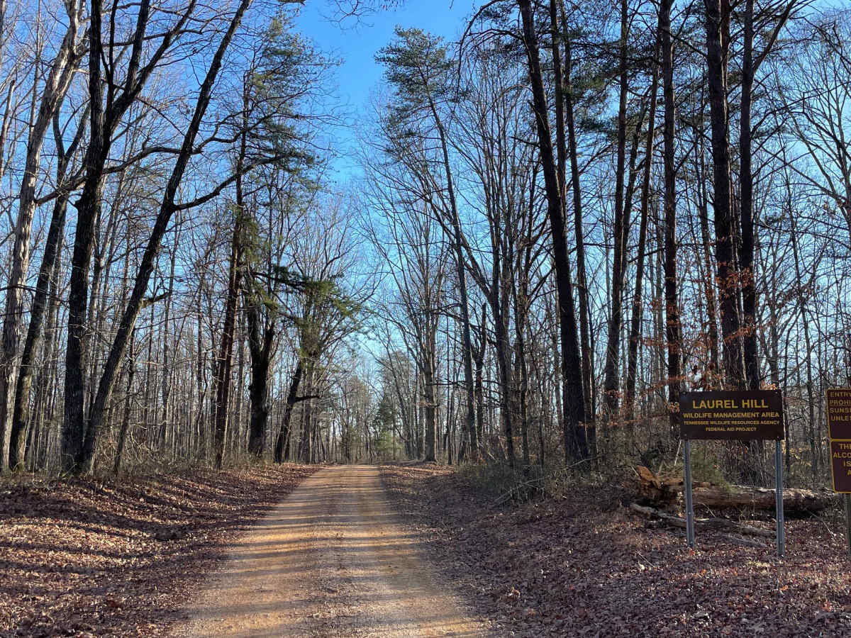
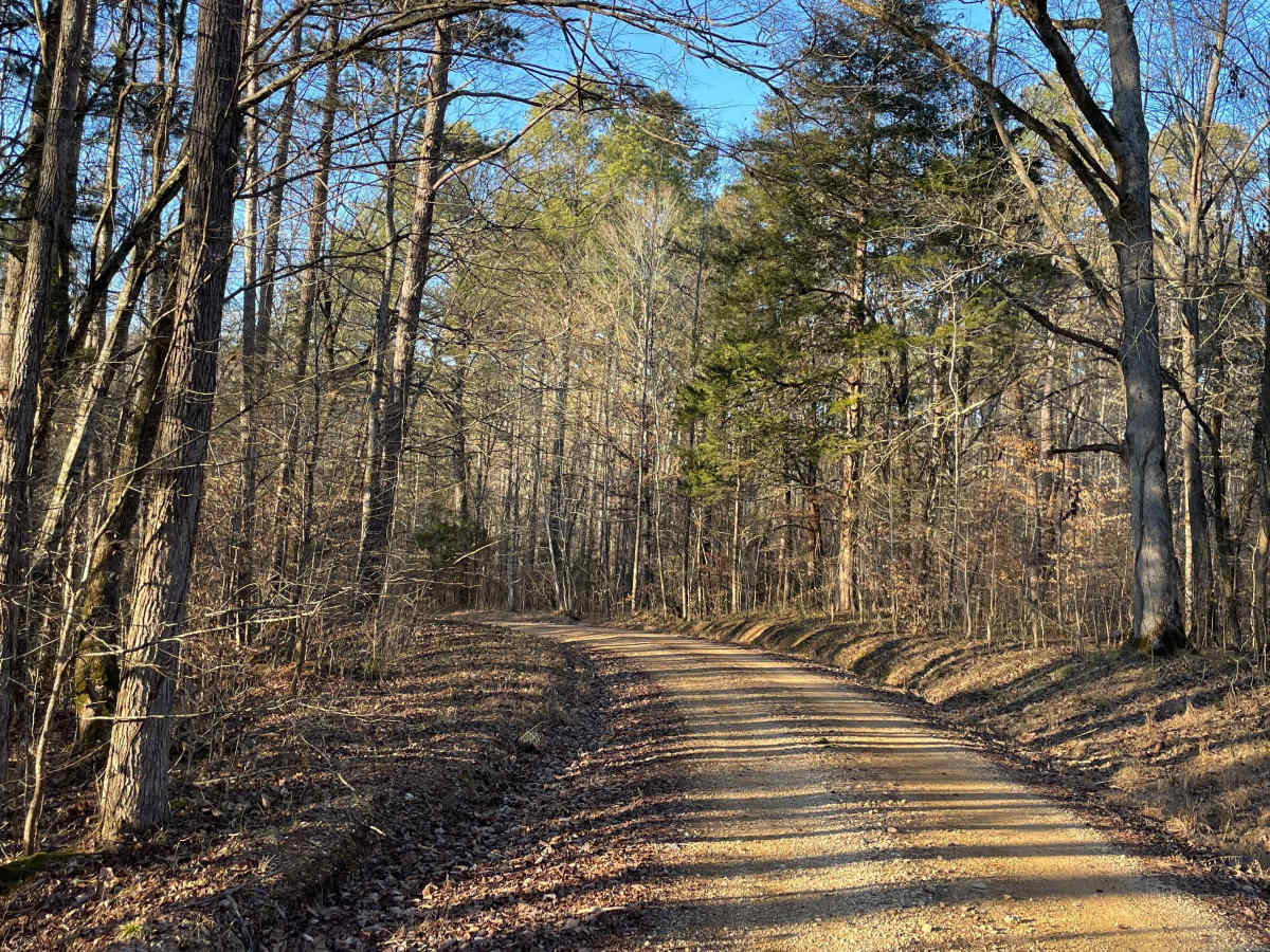
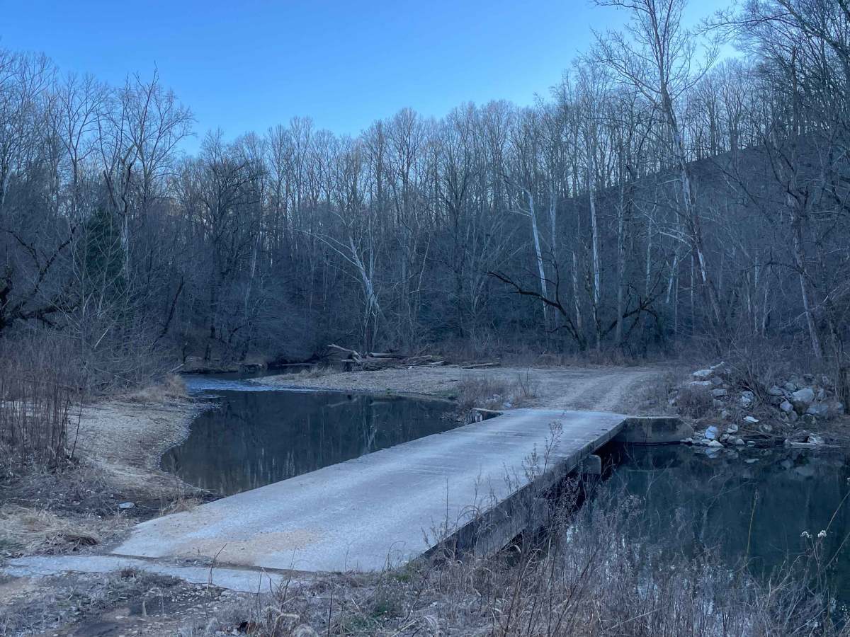
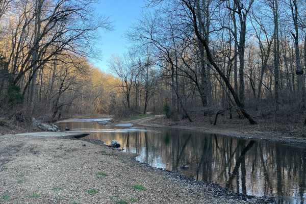
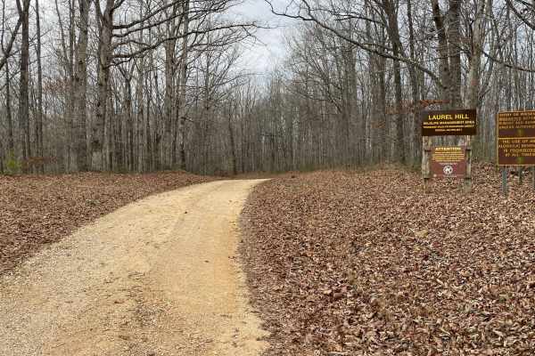
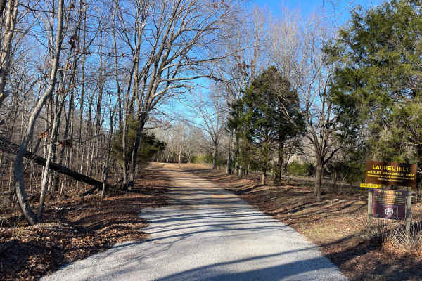
Laurel Hill Road is a scenic east–west traverse across the northern end of the Laurel Hill Wildlife Management Area, connecting Natchez Trace Parkway on the west to CC Road on the east. While both termini begin on pavement, the route quickly transitions to well-maintained gravel once inside the WMA, offering an easy and relaxing drive through mature hardwood forest with gentle elevation changes. The highlight of this route is the bridge crossing over the Little Buffalo River, one of the best access points in the WMA for fishing, wading, and exploring on foot. Several pull-offs near the river provide space to park and enjoy the water, making this an ideal warm-weather stop for a picnic or summer cool-down. The surrounding riverbanks and wooded flats are well-suited for short walks and quiet observation. On the western end of Laurel Hill Road, travelers will find themselves driving directly along portions of the historic Old Natchez Trace. In several areas, the original trace path can still be seen running alongside the modern roadway, offering a unique opportunity to experience a preserved segment of one of the Southeast’s most important historic travel corridors. Motorized access is open to street-legal vehicles. Users must possess either a valid Tennessee hunting or fishing license or a High Impact Habitat Conservation Permit. Off-Highway Vehicles (including ATVs, motorcycles, and Class 3 e-bikes), hooved animals, and bicycles require the High Impact Habitat Conservation Permit when used on designated WMA routes.
Difficulty
Rated Easy. Laurel Hill Road is a wide gravel roadway with a stable surface and no technical obstacles. Suitable for stock 4WD and AWD vehicles in dry conditions. Temporary slick spots may occur after heavy rain near the river crossing, but do not significantly increase difficulty.
History
On the western end of Laurel Hill Road, travelers will find themselves driving directly along portions of the historic Old Natchez Trace. In several areas, the original trace path can still be seen running alongside the modern roadway, offering a unique opportunity to experience a preserved segment of one of the Southeast’s most important historic travel corridors.