
Beginner Off-Road Trails
Near Coulee Dam, Washington
Explore All Beginner Trails Near Coulee Dam, Washington
Beginner Off-Road Trails Near Coulee Dam, Washington
Discover the best beginner-friendly off-road trails near you. These easier, lower-rated trails are a great place to start — browse trail maps, check difficulty ratings, and find your next adventure.
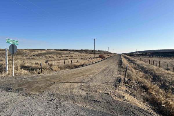
Barker Canyon Road
Barker Canyon Road is a 6-mile point-to-point route beginning at its junction with Washington Route 174 and descending through Barker Canyon to Banks Lake. The first 5.5 miles of the road traverse private property. Please remain on the designated route and respect all posted signage. The trail ends ...
Learn more about Barker Canyon Road
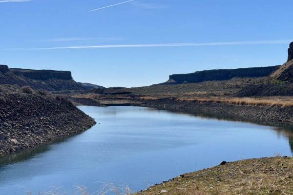
Trail Lake Coulee
This road follows between the Main Canal and Trail Lake. The dirt road is rocky and bumpy but is 2WD capable. There are plenty of spots to park, camp, and fish along Trail Lake, especially when the lake is low. At the end of the levy is where the Main Canal flows out of the mountainside all the way ...
Learn more about Trail Lake Coulee
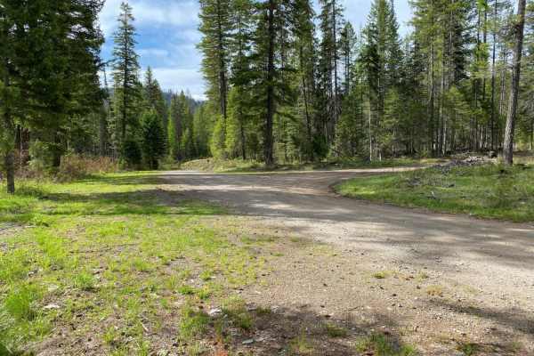
Rattlesnake
Paved road from staging to Rattlesnake Rd turnoff, then gravel and two-track road around the route, until the final paved segment of Scatter Creek Rd back to the staging area. Some portions of the route are rough road, rocky in spots, but easily negotiated. Easy route to drive for OHV's.
Learn more about Rattlesnake
Sheep Mountain
Gravel road for the most part, with occasional dirt/muddy areas, depending on weather. Easy ride, gentle pitches.
Learn more about Sheep Mountain
Swan Lake 1
This is one of several short loop rides in a popular camping/recreation area of Ferry County. Scatter Creek Rd is paved into the Swan Lake campground area, but the remaining roads on the route are gravel. The route is forested, mainly for the purpose of "seat time" and makes for a good family orient...
Learn more about Swan Lake 1
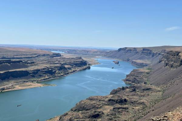
Lake Lenore Overlook
This is a short but rewarding route. This route goes down a farm road between private fields to public lands access that opens up to views that are breathtaking and incredible. The route ends on an overlook that is 1000 feet above the Sun Lakes. The view allows you to look from Banks Lake all the ...
Learn more about Lake Lenore Overlook
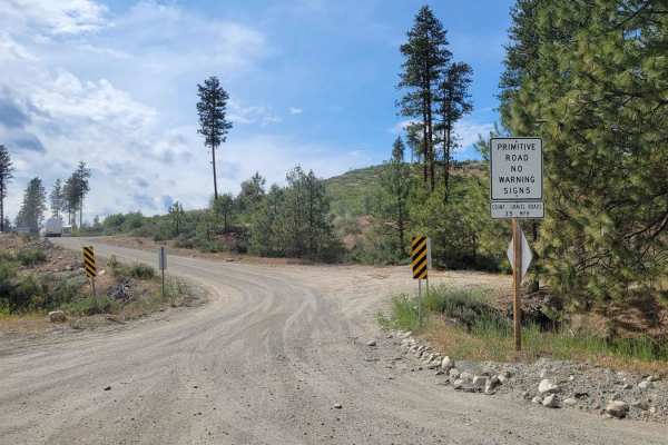
FR 2045 - Loup Loup Canyon Road
This route is a part of the WABDR (Section 5) and is therefore often trafficked by ADV riders. Please use caution. The trail from Highway 20 begins as a gentle and easy dirt road - wide enough for two vehicles to pass one another. Once you reach the Rock Creek Campground, the trail progressively bec...
Learn more about FR 2045 - Loup Loup Canyon Road
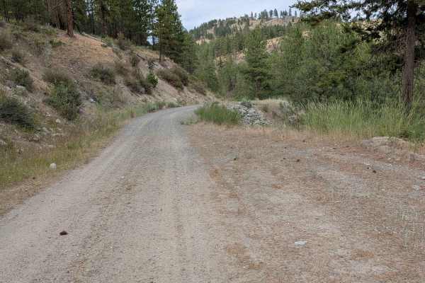
North Cook Mountain Road - South half
This is an easy 1.5-lane dirt road that begins at the junction of Cook Mountain Road and South Cook Mountain Road. What shows along the side of where the road starts as a stream is actually a fair-sized pond or small lake, at least at the beginning of summer. The track ends about 2.7 miles later at ...
Learn more about North Cook Mountain Road - South half
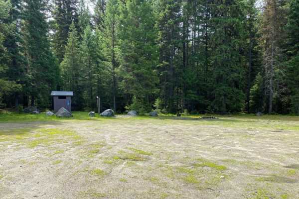
Quartz Mountain
The roads in the Quartz Mountain area are mainly gravel roads, with side roads being less travelled, two track roads that may be rutted, rocky and muddy in spots. Road to the old lookout site is in good shape. Easy ride.
Learn more about Quartz Mountain
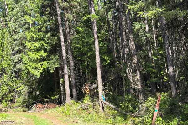
Dollar Mountain Summit - FS 2014-235
This is a dirt-based forest road that is narrow and two-track. There are ruts and wash under a foot deep, a rock garden section, and a couple of muddy sections. As you travel the trail, you will come to a swampy pond area, and this is where the trail gets a little muddy. Once past that, the trail is...
Learn more about Dollar Mountain Summit - FS 2014-235
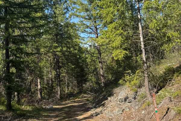
FS 2014-220
This is a dirt-based, narrow forest road. Most of the trail is one vehicle wide, two-track with areas to pass. The trail travels through an old burnt area, so expect some trees down on the trail. There are ledges with small drop-offs and overgrown vegetation, but you will have views of the surroundi...
Learn more about FS 2014-220
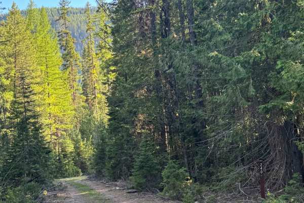
South Fork Barnaby - FS 2014-420
This is a short, dirt-based forest road that used to go much further. The trail is overgrown with vegetation and has some rock garden sections. At the end of the trail, it has been made into a loop with a large campsite, and the original trail continues, but is extremely overgrown and only accessibl...
Learn more about South Fork Barnaby - FS 2014-420
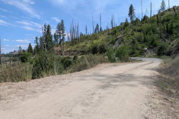
North Cook Mountain Road North half
This road starts as 1.5 lanes of gravel, but the gravel doesn't last for long. It stays about the same width, but the surface reverts to dirt. It meanders along the ridge, giving a glimpse of Highway 20 below, before ending abruptly at a locked gate where the road crosses onto private property. It i...
Learn more about North Cook Mountain Road North half
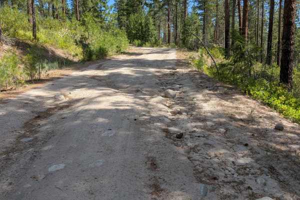
West Fork Rock Creek Road
This dirt road starts out from Highway 20 as a two-lane road, narrowing to 1.5 and finally a single lane as it climbs north. There is ample room to meet another vehicle in most places. Most of the road has open views. There are some ruts and sections of erosion damage, along with some embedded and l...
Learn more about West Fork Rock Creek Road
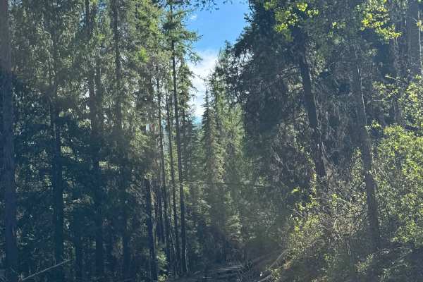
Dollar Mountain - FS 2014-200
This is a dirt-based forest road that runs to the border of the Colville National Forest and Colville Reservation. The trail is narrow and one lane wide with lots of two-track sections and minor ruts/wash. In places, the vegetation is overgrown, and in other places, you will encounter ledges with dr...
Learn more about Dollar Mountain - FS 2014-200
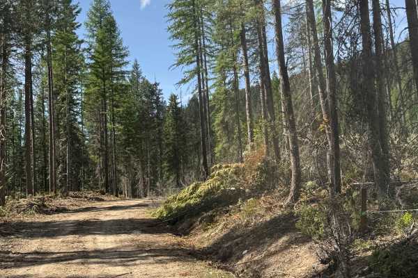
FS 2014-150
This is a dirt-based forest road with minor ruts and wash. Most of the trail is narrow, one vehicle wide, two-track with places to pass. The trail gradually climbs approximately 800 feet in elevation and has switchbacks and ledges with drop-offs. You will get views of the surrounding ridges and peak...
Learn more about FS 2014-150
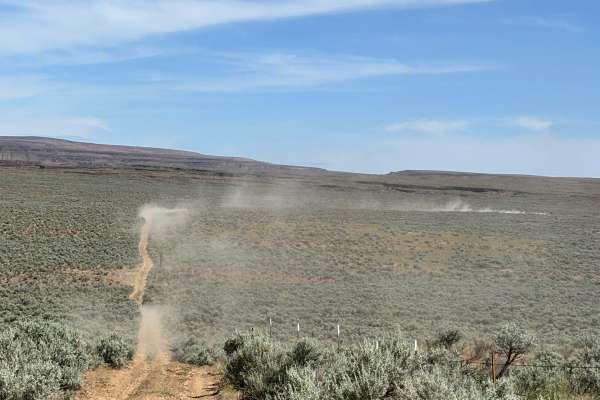
Sagebrush Flats Cattle Trail
This is a very narrow two-track that runs through mostly free-range country. The route runs through mostly public land, but partially through private land. The route also goes through a couple of gates. Please leave these as you found them. This is cattle country, and the gates are to keep animal...
Learn more about Sagebrush Flats Cattle Trail
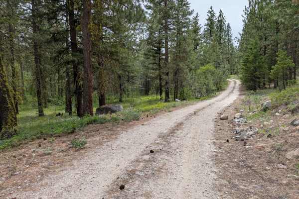
FS 4100-030
This single-lane road loops from the main FS 41 road. It has some loose rock on the climbs and descents that will be more noticeable to those on 2 wheels. There's also erosion damage up to a foot deep, as well as random rocks less than a foot high (some embedded, some loose). It's a fun little diver...
Learn more about FS 4100-030
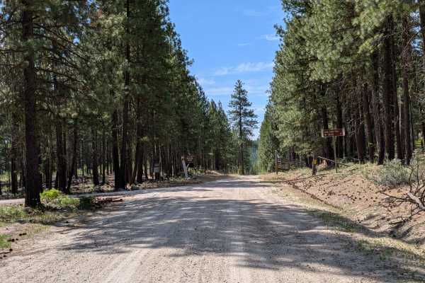
FS 4150
This is a 1.5-lane easy dirt and gravel road through a mixed pine and fir forest. There are a few embedded rocks. It begins where Benson Creek Drive meets the national forest boundary and meets up with the main FS 41 road adjacent to the southern boundary of this piece of Okanogan National Forest. T...
Learn more about FS 4150
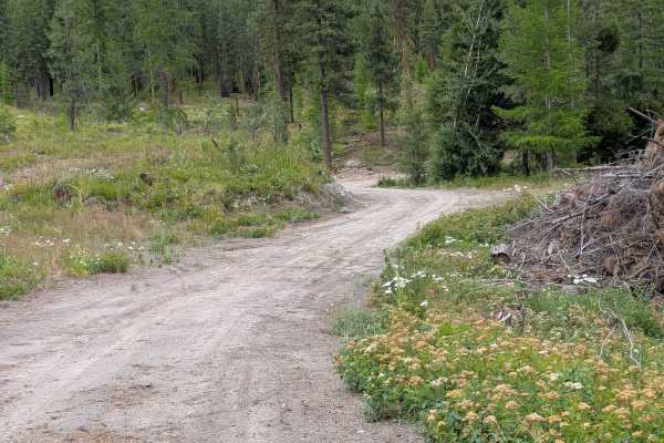
Chiliwist Creek Road
This mostly dirt road is 1.5 lanes wide for most of its length. There are some areas of gravel and some larger loose rock on decent inclines. There are 18" water bars, but they're not steep or abrupt. The road goes through an area of mixed forest that has been logged. It connects from Woody Mountain...
Learn more about Chiliwist Creek Road
Beginner ATV trails near Coulee Dam, Washington
Explore ATV-friendly trails near you. These trails are accessible for vehicles up to 50 inches wide, perfect for ATVs and smaller off-road machines.
Barker Canyon Road
Barker Canyon Road is a 6-mile point-to-point route beginning at its junction with Washington Route 174 and descending through Barker Canyon to Banks Lake. The first 5.5 miles of the road traverse private property. Please remain on the designated route and respect all posted signage. The trail ends ...
Learn more about Barker Canyon Road
Rattlesnake
Paved road from staging to Rattlesnake Rd turnoff, then gravel and two-track road around the route, until the final paved segment of Scatter Creek Rd back to the staging area. Some portions of the route are rough road, rocky in spots, but easily negotiated. Easy route to drive for OHV's.
Learn more about Rattlesnake
Sheep Mountain
Gravel road for the most part, with occasional dirt/muddy areas, depending on weather. Easy ride, gentle pitches.
Learn more about Sheep Mountain
Swan Lake 1
This is one of several short loop rides in a popular camping/recreation area of Ferry County. Scatter Creek Rd is paved into the Swan Lake campground area, but the remaining roads on the route are gravel. The route is forested, mainly for the purpose of "seat time" and makes for a good family orient...
Learn more about Swan Lake 1
Beginner UTV/side-by-side trails near Coulee Dam, Washington
Find UTV and side-by-side trails near you. These trails accommodate vehicles up to 60 inches wide, ideal for UTVs, side-by-sides, and wider off-road rigs.
Barker Canyon Road
Barker Canyon Road is a 6-mile point-to-point route beginning at its junction with Washington Route 174 and descending through Barker Canyon to Banks Lake. The first 5.5 miles of the road traverse private property. Please remain on the designated route and respect all posted signage. The trail ends ...
Learn more about Barker Canyon Road
Rattlesnake
Paved road from staging to Rattlesnake Rd turnoff, then gravel and two-track road around the route, until the final paved segment of Scatter Creek Rd back to the staging area. Some portions of the route are rough road, rocky in spots, but easily negotiated. Easy route to drive for OHV's.
Learn more about Rattlesnake
Sheep Mountain
Gravel road for the most part, with occasional dirt/muddy areas, depending on weather. Easy ride, gentle pitches.
Learn more about Sheep Mountain
Swan Lake 1
This is one of several short loop rides in a popular camping/recreation area of Ferry County. Scatter Creek Rd is paved into the Swan Lake campground area, but the remaining roads on the route are gravel. The route is forested, mainly for the purpose of "seat time" and makes for a good family orient...
Learn more about Swan Lake 1
The onX Offroad Difference
onX Offroad combines trail photos, descriptions, difficulty ratings, width restrictions, seasonality, and more in a user-friendly interface. Available on all devices, with offline access and full compatibility with CarPlay and Android Auto. Discover what you're missing today!
Open Trail Map