
Beginner Off-Road Trails
Near Cherry Creek, New York
Explore All Beginner Trails Near Cherry Creek, New York
Beginner Off-Road Trails Near Cherry Creek, New York
Discover the best beginner-friendly off-road trails near you. These easier, lower-rated trails are a great place to start — browse trail maps, check difficulty ratings, and find your next adventure.
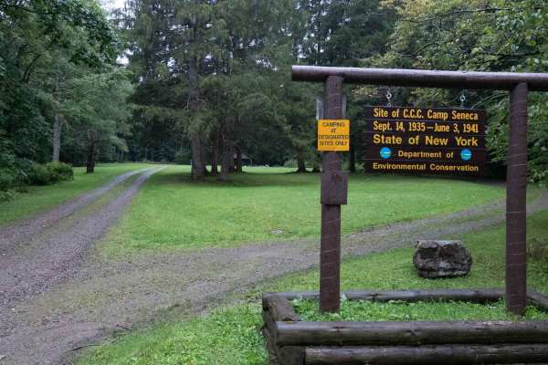
Hungry Hollow Road
This trail starts as a smooth dirt and gravel road climbing into the forest, with private land on both sides of the beginning section before entering state forest land. Be sure to stay on the main road and respect all posted property boundaries. The route rolls over gentle hills before descending ba...
Learn more about Hungry Hollow Road

Eckert Road
This dirt and gravel road is mostly smooth and easy to navigate, winding through a beautiful forest with a heavy tree canopy and plenty of shade. The road can become slick and mushy after heavy rain, so conditions may change quickly when wet. The dense forest and secluded setting make this a great r...
Learn more about Eckert Road

Little Rock City Forest Road
This smooth gravel and dirt road winds beneath a heavy tree canopy, offering an easy and scenic drive through the forest. There are some mild bumps along the way, but the road is in great shape and remains very easy to navigate. The route provides access to a really unique hiking area with large roc...
Learn more about Little Rock City Forest Road

Salamanca Forest Road
This gravel road travels through state forest land and becomes bumpy fairly quickly, with a rougher surface than Little Rock City Forest Road. Expect some ruts and uneven terrain that can make for a rough ride, although there are no significant technical obstacles. As with many seasonal roads in thi...
Learn more about Salamanca Forest Road
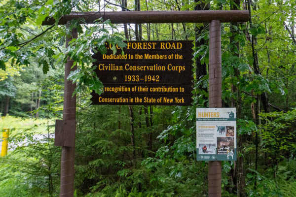
CCC Forest Road
This packed gravel road cuts deeper into the heart of McCarthy State Forest and offers a smooth, peaceful drive through the woods. The road is in excellent condition and noticeably smoother than Mutton Hollow Road, which provides access to this route. Along the way, the forest opens up in places to ...
Learn more about CCC Forest Road

McCarty Hill East Forest Road
This smooth dirt-and-gravel road provides access to the McCarty State Forest trailhead and several hiking trailheads along the way. The route follows alongside a ravine, with nice views of the surrounding hills and open sky to the right. The surface remains smooth for most of the drive, with only a ...
Learn more about McCarty Hill East Forest Road

Mutton Hollow Road
This hard-packed gravel road provides an easy and scenic drive into the forest, with a few rocky and bumpy sections along the way. As you continue, you’ll encounter some larger potholes and dips, so take your time through these areas. A small offshoot climb on the left leads to a nice level campsite...
Learn more about Mutton Hollow Road

Eagle Forest Road
This trail starts as an easy gravel track before climbing a bumpy hill into McCarty State Forest. The climb is moderately steep with loose gravel that can become slick after rain, so traction may be reduced in wet conditions. At the top, the road continues toward beautiful views of the surrounding h...
Learn more about Eagle Forest Road
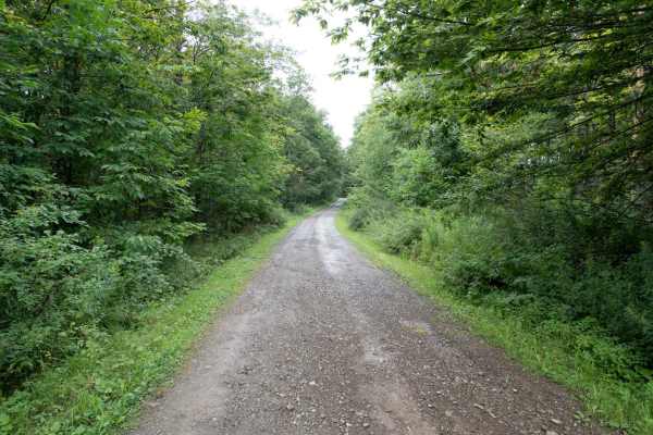
Stone Tower Road
This dirt and gravel track heads into the forest with a few rutted potholes that make for a slightly bumpy ride, but there are no technical obstacles. When dry, the road is very easy to navigate, but heavy rain can quickly make it slick and rutted. There are some beautiful views of the surrounding h...
Learn more about Stone Tower Road
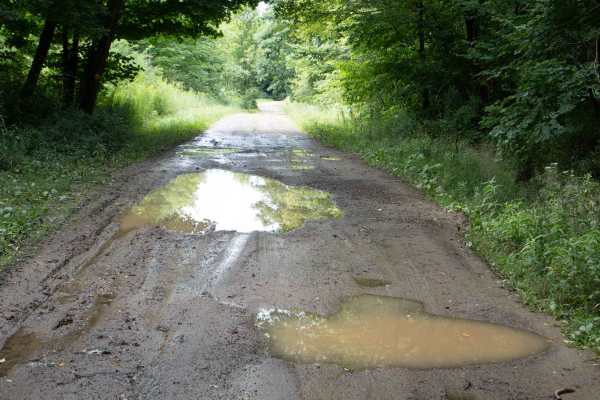
Bay State Road
This gravel and dirt forest road is a little bumpy as it climbs and descends through the hills, offering a fun and scenic drive through a mix of dense woods and open areas with views of the surrounding hills. The route provides access to additional hiking and equestrian trails, and wildlife is commo...
Learn more about Bay State Road
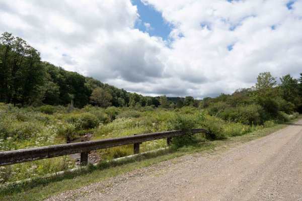
France Brook Road
This gravel road starts with a steady descent that includes some ruts and washouts, making for a slightly rough ride. The surface could become slick after rain, so use caution in wet conditions. After the initial bumpy descent, the road smooths out into an easy gravel forest road surrounded by dense...
Learn more about France Brook Road
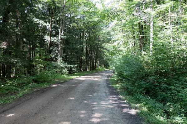
Lime Stone Run Road
This forest gravel and dirt road offers a beautiful scenic drive through the woods, with some ruts and dips that create a bumpy ride. Several potholes can fill with water after rain, adding to the rougher conditions. While there are no major technical obstacles, this is one of the rougher roads in t...
Learn more about Lime Stone Run Road
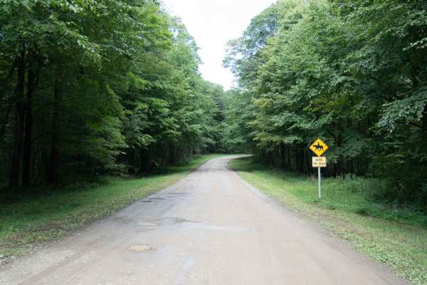
Thunder Rocks Road
This easy dirt and gravel road leads to Thunder Rocks, a really cool area where you can hike and explore around massive rock formations. The road is mostly smooth with only a few ruts and potholes along the way, making for a relaxed drive through the forest. The trail ends at a parking area providin...
Learn more about Thunder Rocks Road
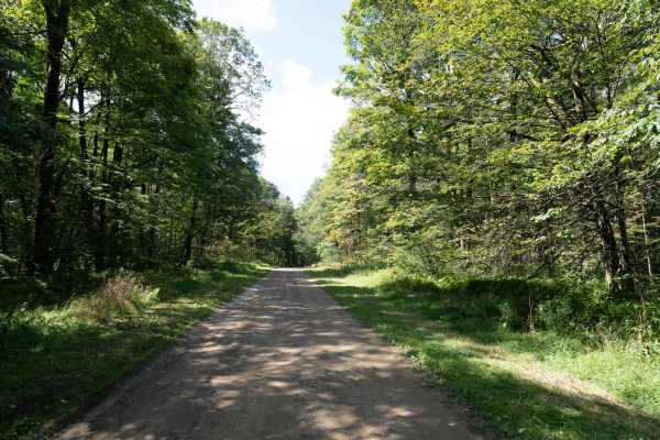
Ridge Run Road
This dirt and gravel road alternates between smooth, easy sections and rougher stretches with sizable potholes. A few areas require slower driving to navigate the larger holes, but there are no significant technical obstacles. Overall, it is a scenic forest drive with plenty of opportunities to spot...
Learn more about Ridge Run Road
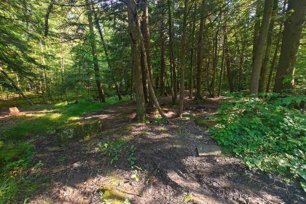
CDW Run Road
CDW Run Road in the Allegheny National Forest is located in Warren County. It provides access for vehicles, though a 2017 document notes it was open for hunting at that time. It does not appear to be a designated boat launch site with amenities, but rather a forest road providing some type of water ...
Learn more about CDW Run Road
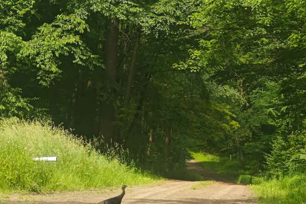
Boatroad Run - FSR 252
Forest Service Road (FSR) 252 in the Allegheny National Forest is identified as the "Boat Road Run" and is located in Warren County. It provides access for vehicles, though a 2017 document notes it was open for hunting at that time. It does not appear to be a designated boat launch site with ameniti...
Learn more about Boatroad Run - FSR 252
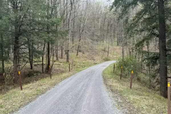
North Branch Sugar Run - FS 271
North Branch Sugar Run - FS 271 is a nice, hard dirt surface road. There are a few nice streams along this road. The southern end is Sugar Bay of Kinzua Reservoir. Accessibility: Like many forest roads, its condition can vary, and it is best to check the Allegheny National Forest Motor Vehicle Use M...
Learn more about North Branch Sugar Run - FS 271
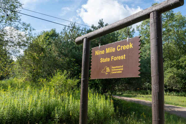
Phearsdorf Forest Road
This easy, smooth dirt road winds through 9 Mile State Forest toward a secluded campsite. The route starts fairly open before gradually becoming more wooded, with a heavier tree canopy closing in overhead as you continue. The road remains smooth and easy to navigate throughout, making for a peaceful...
Learn more about Phearsdorf Forest Road
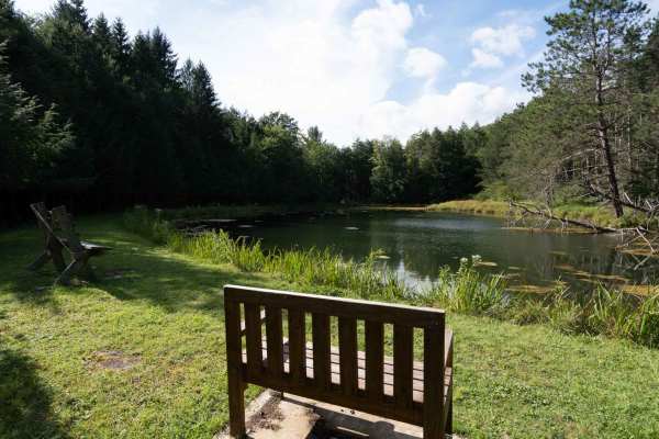
Rehler Forest Road
This easy dirt and gravel road leads into the forest, with a beautiful, peaceful pond area available for day use from dusk until dawn near the beginning of the trail. The route then continues beneath a tighter tree canopy, offering a scenic and relaxing drive through the forest.
The road eventually...
Learn more about Rehler Forest Road
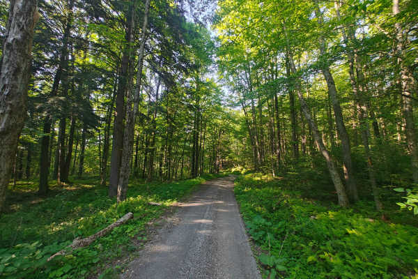
Bucklick - FS 176
Forest Service Road 176 in the Allegheny National Forest is a popular route for scenic drives, 4x4 adventures, and accessing dispersed camping often found in the southern part of the forest near the Kinzua Dam area, offering a rustic, unpaved experience through wooded landscapes. It's part of the ex...
Learn more about Bucklick - FS 176
Beginner ATV trails near Cherry Creek, New York
Explore ATV-friendly trails near you. These trails are accessible for vehicles up to 50 inches wide, perfect for ATVs and smaller off-road machines.
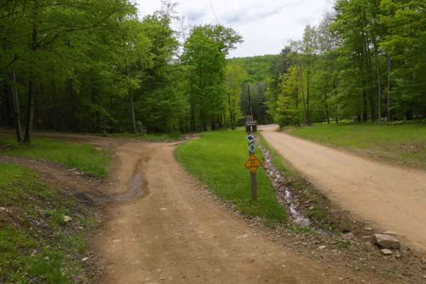
I Green I1-I9
I trail is the direct way from the campground entrance road to the trail head. Being a one-way trail, this is the one that leads in that direction. It is an easy trail but does have some fun sections like hills and plenty of turns, and you go down the mountain.
Learn more about I Green I1-I9
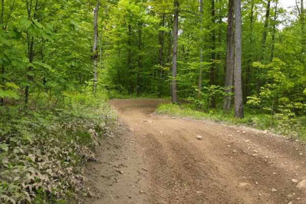
G3 Pee Wee Area
The area marked for this has one way in and out from the campground area. This is a nice easier section to ride that can be a great start to the day to get warmed up and prepared. The other thing is to have an area that is safe to ride.
Learn more about G3 Pee Wee Area
G Green G-G10
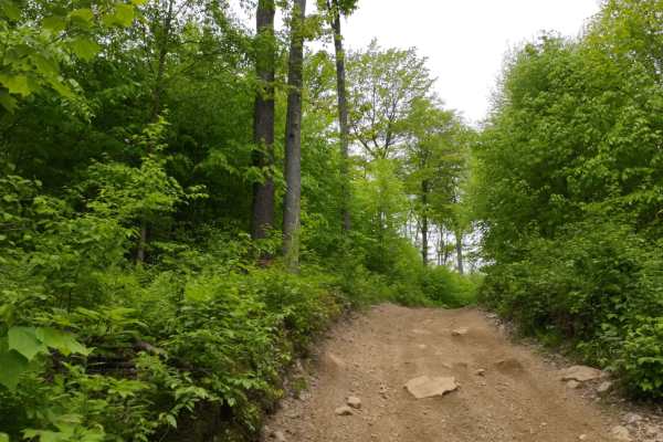
This is an easier trail that works from the campground over to H or the I sections. There are plenty of turns and twists while traversing the woods. This is a nice connection from the campground over to the parking lot or office area. The directional path may loop you around, so be careful of your d...
Learn more about G Green G-G10

E Green E1- E10
E is a nice trail with some hills, mud, tighter areas, and has access to the campground. Basically bordering a few sides of the campground, it is the main trail to jump on to get there. Starting towards the bottom of the hill it works its way up and down the hillside.
Learn more about E Green E1- E10
Beginner UTV/side-by-side trails near Cherry Creek, New York
Find UTV and side-by-side trails near you. These trails accommodate vehicles up to 60 inches wide, ideal for UTVs, side-by-sides, and wider off-road rigs.
I Green I1-I9
I trail is the direct way from the campground entrance road to the trail head. Being a one-way trail, this is the one that leads in that direction. It is an easy trail but does have some fun sections like hills and plenty of turns, and you go down the mountain.
Learn more about I Green I1-I9
G3 Pee Wee Area
The area marked for this has one way in and out from the campground area. This is a nice easier section to ride that can be a great start to the day to get warmed up and prepared. The other thing is to have an area that is safe to ride.
Learn more about G3 Pee Wee Area
G Green G-G10
This is an easier trail that works from the campground over to H or the I sections. There are plenty of turns and twists while traversing the woods. This is a nice connection from the campground over to the parking lot or office area. The directional path may loop you around, so be careful of your d...
Learn more about G Green G-G10
E Green E1- E10
E is a nice trail with some hills, mud, tighter areas, and has access to the campground. Basically bordering a few sides of the campground, it is the main trail to jump on to get there. Starting towards the bottom of the hill it works its way up and down the hillside.
Learn more about E Green E1- E10
The onX Offroad Difference
onX Offroad combines trail photos, descriptions, difficulty ratings, width restrictions, seasonality, and more in a user-friendly interface. Available on all devices, with offline access and full compatibility with CarPlay and Android Auto. Discover what you're missing today!
Open Trail Map