
Beginner Off-Road Trails
Near Cayuga, Oklahoma
Explore All Beginner Trails Near Cayuga, Oklahoma
Beginner Off-Road Trails Near Cayuga, Oklahoma
Discover the best beginner-friendly off-road trails near you. These easier, lower-rated trails are a great place to start — browse trail maps, check difficulty ratings, and find your next adventure.
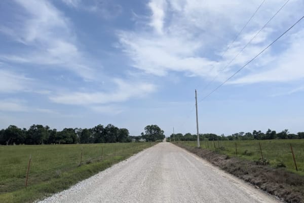
South 560
The South 560 is part of the Oklahoma Adventure Trail and is a long, straight gravel road in good condition, running through expansive agricultural land with fields full of livestock. Following recent rains in May 2025, the area appears lush and the nearby dams are full. A noticeable dip in the road...
Learn more about South 560
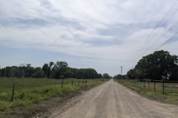
East 200
The East 200 is part of the Oklahoma Adventure Trail and is a well-maintained and flat gravel road that winds its way through a patchwork of lush, green farmland. While the scenery is peaceful, caution is advised as local traffic can be unpredictable, and speeds should be kept low. This stretch of t...
Learn more about East 200
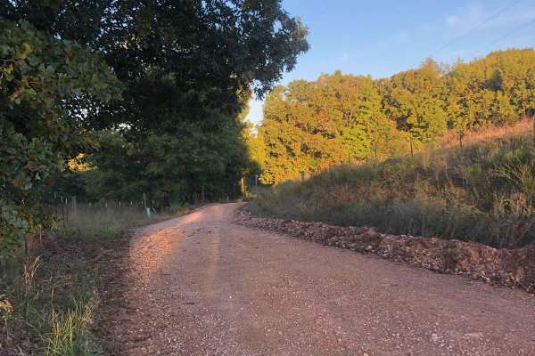
Hayfield Trail
Looking for an easy way to enjoy some scenery? This 5-mile trail will allow you to get the offroad experience without having to worry about tearing up your vehicle. This trail can be easily completed by any stock vehicle, but it should be noted that there are some low-water bridges that could flood ...
Learn more about Hayfield Trail
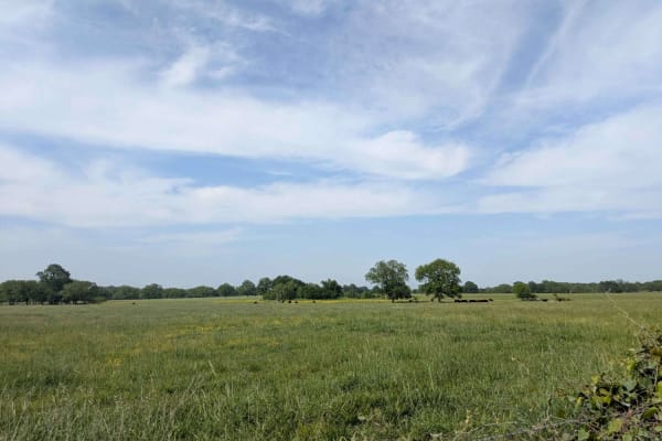
E0240
This trail is part of the Oklahoma Adventure Trail and consists primarily of a straight, well-maintained gravel road that is occasionally intersected by paved roads. A river runs alongside part of the route and offers the only opportunities for dispersed camping for many miles in either direction al...
Learn more about E0240
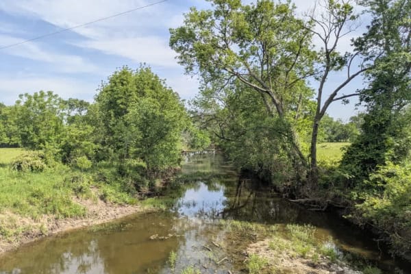
E0220
The E0220 is part of the Oklahoma Adventure Trail and is a long, straight gravel road in good condition that stretches through open farmland dotted with livestock and the occasional homestead. It is regularly used by local farmers, trucks, and tractors, so drivers should remain alert and courteous. ...
Learn more about E0220
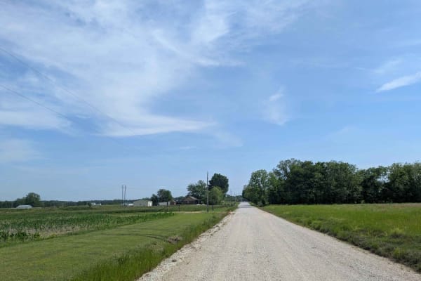
South 540
This trail is part of the Oklahoma Adventure Trail and follows a straight, well-maintained gravel road that winds through a scenic rural landscape, with a few homesteads located near either end. Along the route, the road intersects with a paved section and continues toward a broad creek, where signs...
Learn more about South 540
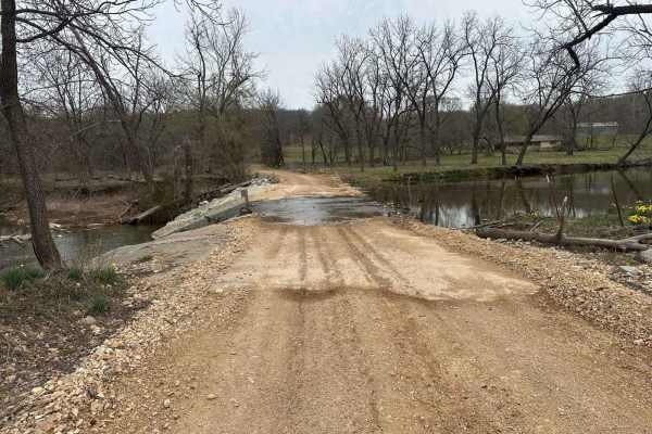
Whitewater Community Trail
The Whitewater Community Trail is part of the GOAT (Green Country Oklahoma Adventure Tour). This trail will take you through the back county of northeast Oklahoma on a mix of smooth and rough dirt roads connected with short bits of pavement where necessary. There are 2-3 water crossings (under 12") ...
Learn more about Whitewater Community Trail
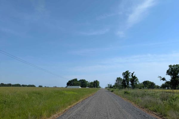
South 510 Road
This trail is part of the Oklahoma Adventure Trail and offers a peaceful and scenic drive along a well-maintained gravel road that, while generally smooth, may present occasional potholes and dusty stretches. It crosses a paved road and winds through a quiet rural landscape filled with open fields, ...
Learn more about South 510 Road
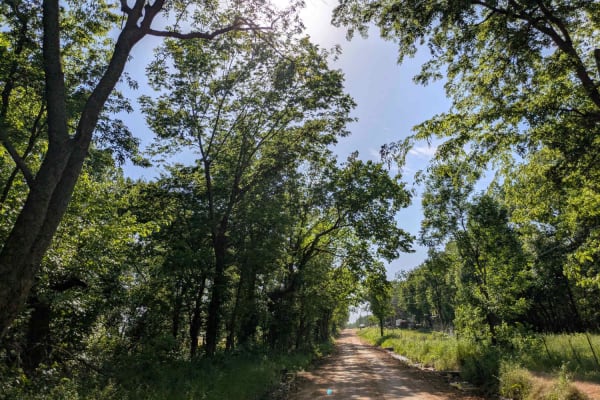
East 290
This trail is part of the Oklahoma Adventure Trail and was recently graded in May 2025, but travelers should still expect large sections with persistent potholes and uneven, bumpy stretches. Evidence of recent rainfall is visible throughout the area, with saturated ground in multiple spots that may ...
Learn more about East 290
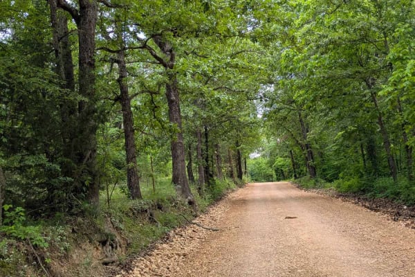
D4520
This trail is part of the Oklahoma Adventure Trail and offers a scenic and peaceful drive through some of the most picturesque rural landscapes in the region and in the country as a whole. The road is maintained but becomes dusty and rocky in certain areas, with potholes especially common in shaded,...
Learn more about D4520
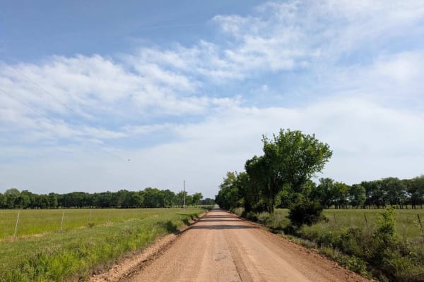
East 320
This trail is part of the Oklahoma Adventure Trail and follows a well-maintained gravel road that was recently graded as of May 2025. It passes through a pastoral landscape lined with farmhouses and homesteads, and drivers should be prepared to encounter local traffic, including agricultural vehicle...
Learn more about East 320
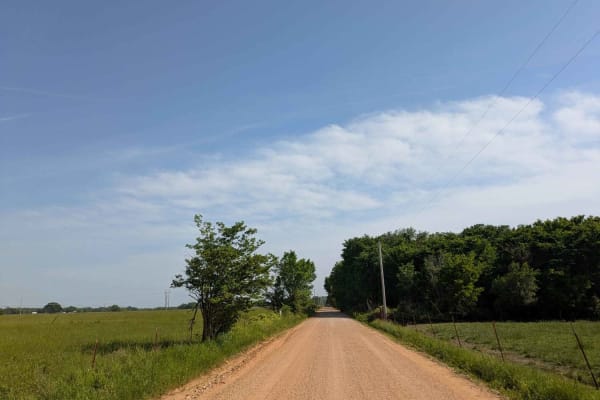
South 4990
This trail is part of the Oklahoma Adventure Trail and offers a more engaging drive than many others in the area, thanks to its elevated terrain, which introduces a mix of winding sections, gentle climbs, and occasional descents. It is narrower and more densely wooded than nearby routes, creating a ...
Learn more about South 4990
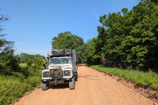
East 330
This trail is part of the Oklahoma Adventure Trail and winds through classic cattle and horse country along a well-maintained gravel road bordered by attractive, well-kept homesteads. Shaded sections of the road are prone to potholes, and recent moisture has left some muddy patches in the adjacent f...
Learn more about East 330
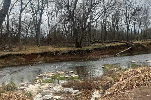
Country Road Nec35A
Take a break from the daily hustle and bustle of paved roads and enjoy a scenic view. This dirt road is perfect for someone looking to get their rig dirty without tearing anything up on their vehicle. There are no large obstacles that would cause any technical issues, this road can easily be travele...
Learn more about Country Road Nec35A
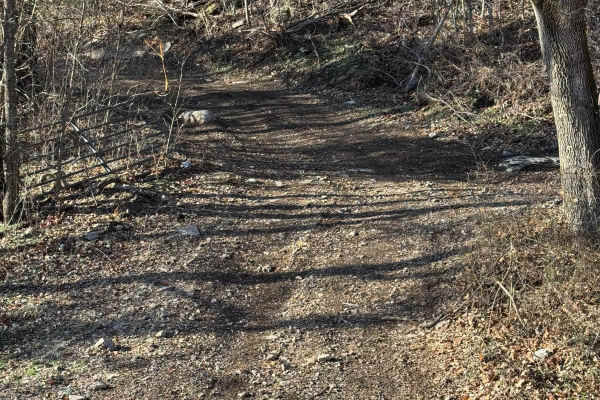
Green 312
Green 312 is a non-directional trail that is located on the western end of the park. This trail not only leads to an old barn but also leads you to Boulder Dash. Green 312 is connected to Boulder Dash at one end and Green 13 at the other end.
Learn more about Green 312
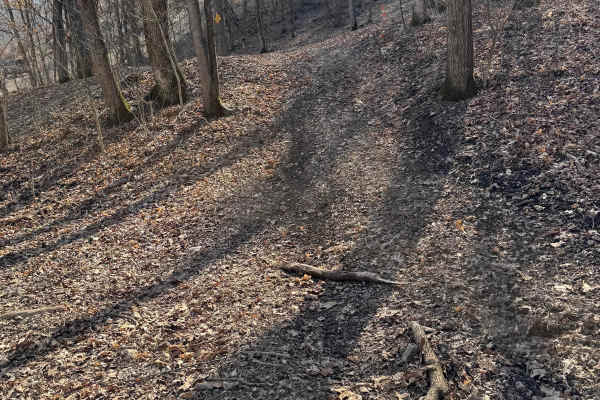
Green 417
Green 417 is a small half moon trail located on the western end of the park. This is a non directional trail so you can run it from either direction. This would also be a nice shady spot to pull off and cool off or grab a quick bit to eat. Green 417 is connected to another trail that is currently bl...
Learn more about Green 417
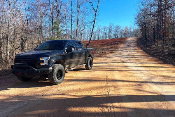
County Road SE9056
County Road SE9056 connects Arnett and Powell, Missouri through heavily forested private land. The county road descends to Big Sugar Creek and the town of Powell. This road is hard-packed dirt and clay that is riddled with deep pot holes hidden in the shadows. Keep an eye out for livestock and dogs;...
Learn more about County Road SE9056
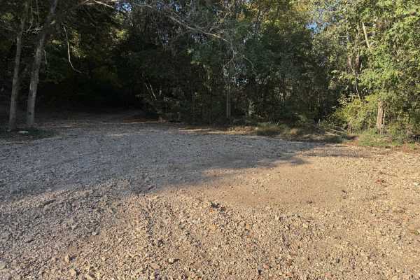
Green 2
Green 2 can be reached by taking Green 1, Green 4, and Green 5 from the cabins or office area. This is a gravel trail that can get you access to some of the more difficult trails on the south end of the park as well as the racetrack. You will cross over Creek Bed 11 if heading towards the racetrack....
Learn more about Green 2
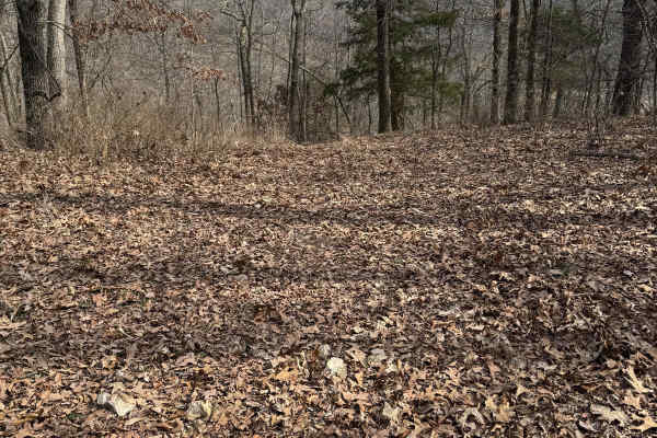
Green 428
Green 428 is located on the farthest western end of the park. You can only access this trail if you are able to get up Boulder Dash 425. Green 428 is connected to Yellow 429 at both ends. You will also have access to the top of Purple 439.
Learn more about Green 428
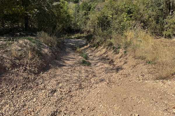
Creek Bed 12
Also called Missouri Creek, Creek Bed 12 takes you from where the racetrack is on the southeastern side of the park all the way to the southwestern side of the park. There are several off-shoot trails along the way. This trail is frequently dry with little to no water at all. You will pass by the gr...
Learn more about Creek Bed 12
Beginner ATV trails near Cayuga, Oklahoma
Explore ATV-friendly trails near you. These trails are accessible for vehicles up to 50 inches wide, perfect for ATVs and smaller off-road machines.
Hayfield Trail
Looking for an easy way to enjoy some scenery? This 5-mile trail will allow you to get the offroad experience without having to worry about tearing up your vehicle. This trail can be easily completed by any stock vehicle, but it should be noted that there are some low-water bridges that could flood ...
Learn more about Hayfield Trail
Country Road Nec35A
Take a break from the daily hustle and bustle of paved roads and enjoy a scenic view. This dirt road is perfect for someone looking to get their rig dirty without tearing anything up on their vehicle. There are no large obstacles that would cause any technical issues, this road can easily be travele...
Learn more about Country Road Nec35A
Green 312
Green 312 is a non-directional trail that is located on the western end of the park. This trail not only leads to an old barn but also leads you to Boulder Dash. Green 312 is connected to Boulder Dash at one end and Green 13 at the other end.
Learn more about Green 312
Green 417
Green 417 is a small half moon trail located on the western end of the park. This is a non directional trail so you can run it from either direction. This would also be a nice shady spot to pull off and cool off or grab a quick bit to eat. Green 417 is connected to another trail that is currently bl...
Learn more about Green 417
Beginner UTV/side-by-side trails near Cayuga, Oklahoma
Find UTV and side-by-side trails near you. These trails accommodate vehicles up to 60 inches wide, ideal for UTVs, side-by-sides, and wider off-road rigs.
Hayfield Trail
Looking for an easy way to enjoy some scenery? This 5-mile trail will allow you to get the offroad experience without having to worry about tearing up your vehicle. This trail can be easily completed by any stock vehicle, but it should be noted that there are some low-water bridges that could flood ...
Learn more about Hayfield Trail
Whitewater Community Trail
The Whitewater Community Trail is part of the GOAT (Green Country Oklahoma Adventure Tour). This trail will take you through the back county of northeast Oklahoma on a mix of smooth and rough dirt roads connected with short bits of pavement where necessary. There are 2-3 water crossings (under 12") ...
Learn more about Whitewater Community Trail
Country Road Nec35A
Take a break from the daily hustle and bustle of paved roads and enjoy a scenic view. This dirt road is perfect for someone looking to get their rig dirty without tearing anything up on their vehicle. There are no large obstacles that would cause any technical issues, this road can easily be travele...
Learn more about Country Road Nec35A
Green 312
Green 312 is a non-directional trail that is located on the western end of the park. This trail not only leads to an old barn but also leads you to Boulder Dash. Green 312 is connected to Boulder Dash at one end and Green 13 at the other end.
Learn more about Green 312
The onX Offroad Difference
onX Offroad combines trail photos, descriptions, difficulty ratings, width restrictions, seasonality, and more in a user-friendly interface. Available on all devices, with offline access and full compatibility with CarPlay and Android Auto. Discover what you're missing today!
Open Trail Map