Trail Overview
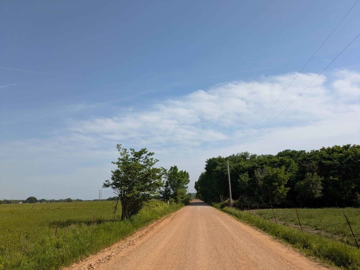
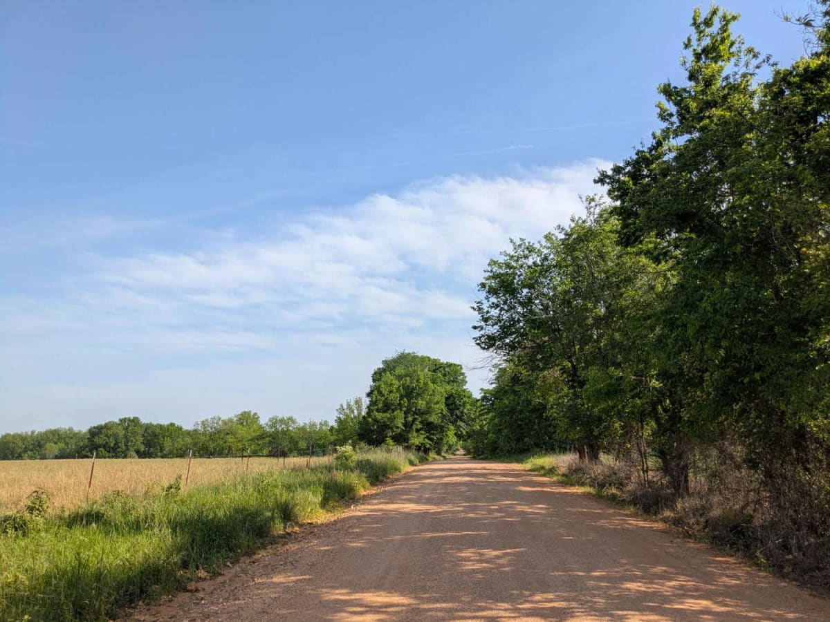
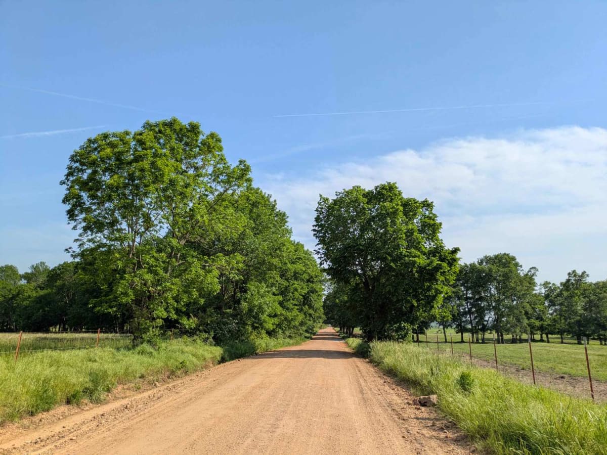
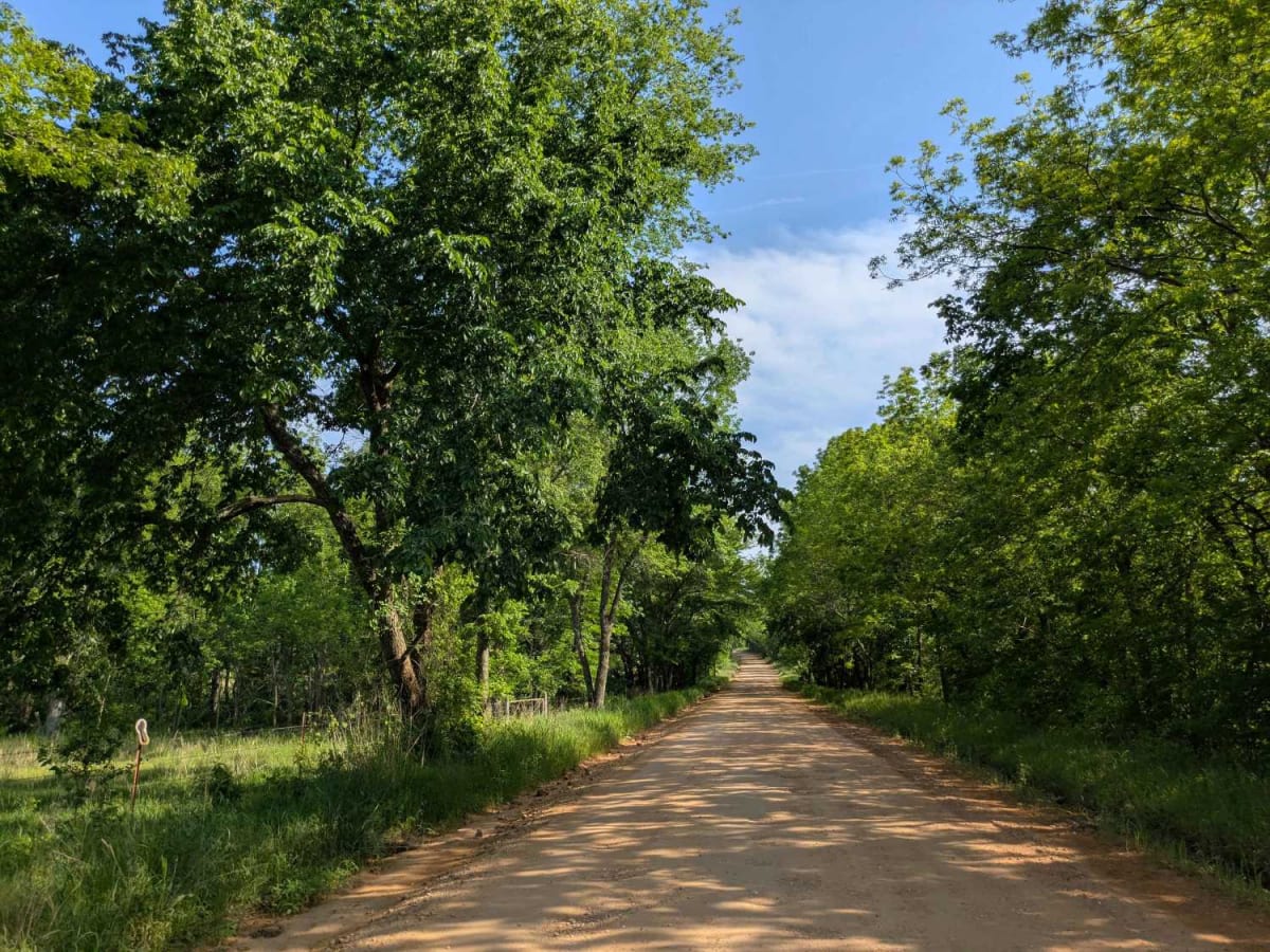
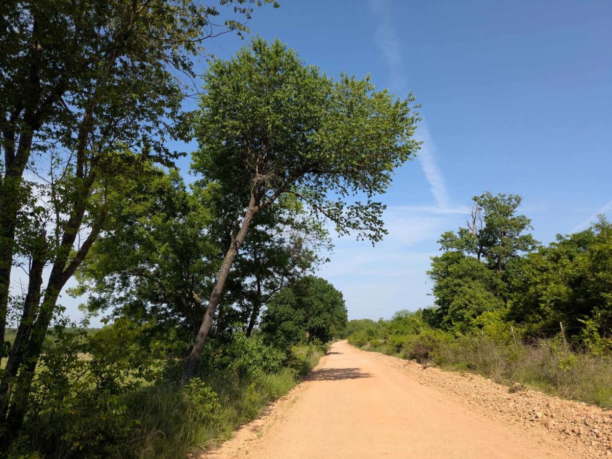
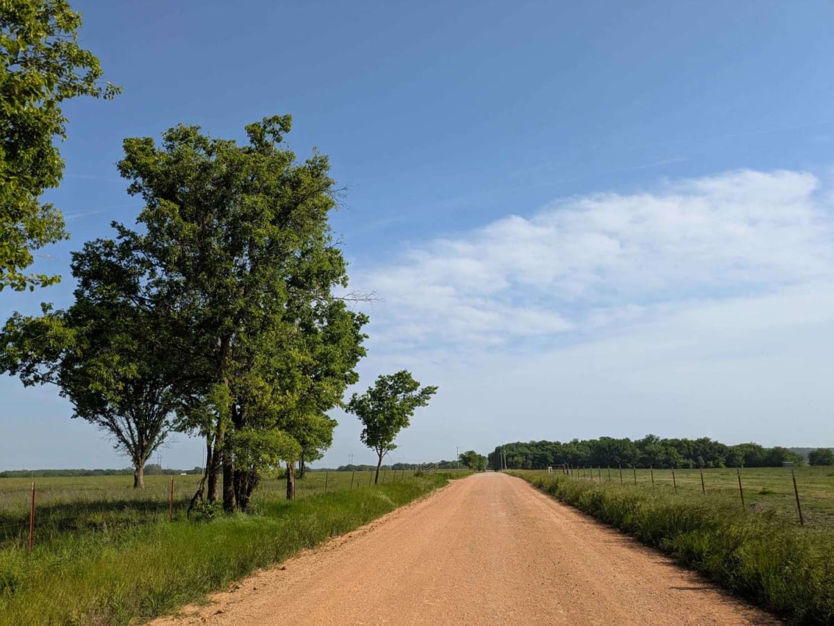
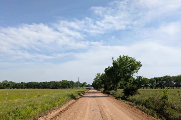
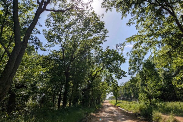
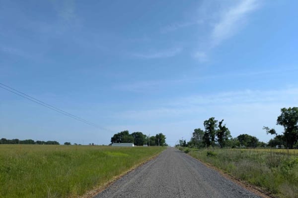
This trail is part of the Oklahoma Adventure Trail and offers a more engaging drive than many others in the area, thanks to its elevated terrain, which introduces a mix of winding sections, gentle climbs, and occasional descents. It is narrower and more densely wooded than nearby routes, creating a shaded canopy in places that contributes to frequent potholes, particularly where rain collects. The landscape opens intermittently to reveal wide, beautiful fields often dotted with grazing cattle, adding to the rural charm of the route. There are no formal or dispersed campsites along the way, and amenities such as trash disposal and potable water are not available. Cell service is limited, so travelers should check coverage using the OnX app before heading out.
Difficulty
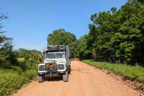
The trail is well-maintained and routinely graded to support a range of local use, from daily agricultural traffic by farmers to occasional travelers and outdoor enthusiasts passing through the area. Its good condition makes it easily accessible and reliable for all types of vehicles.
History
The Oklahoma Adventure Trail is a unique and ever-changing route that crosses through the state and allows visitors to avoid major roads and towns. Created by two Oklahomans and contributed to by numerous more, this trail is 70 percent dirt roads and 30 percent paved, and takes riders and hikers through scenic, historical, and diverse regions throughout Oklahoma.